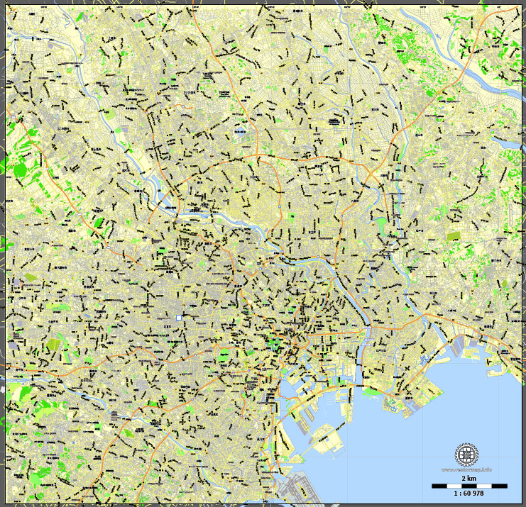
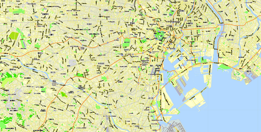
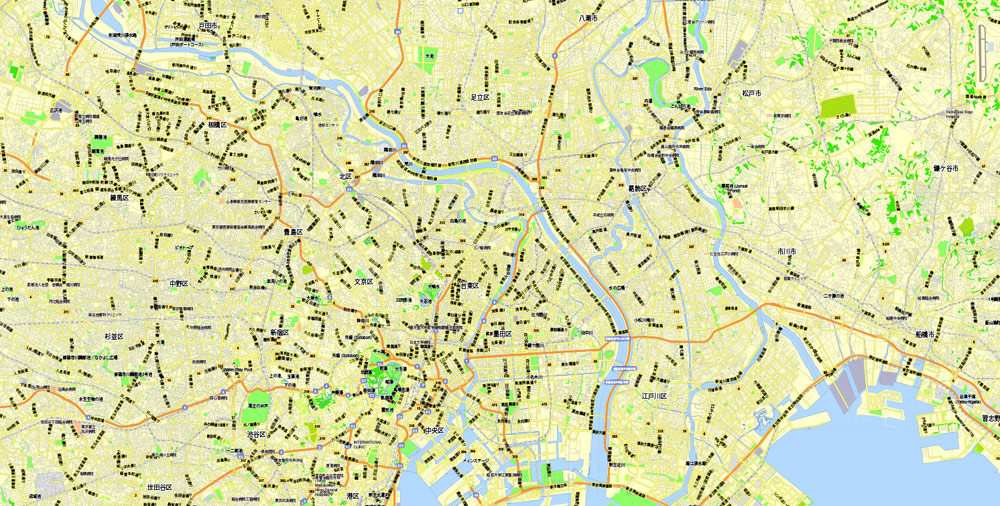
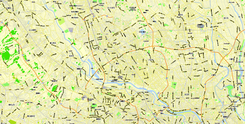
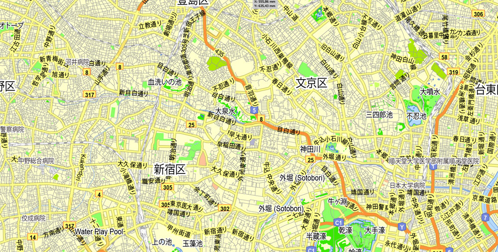
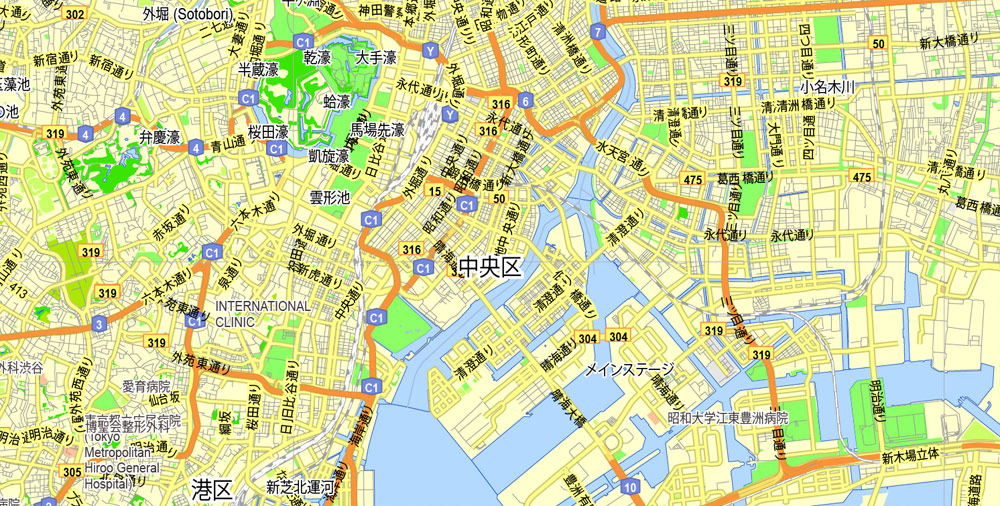
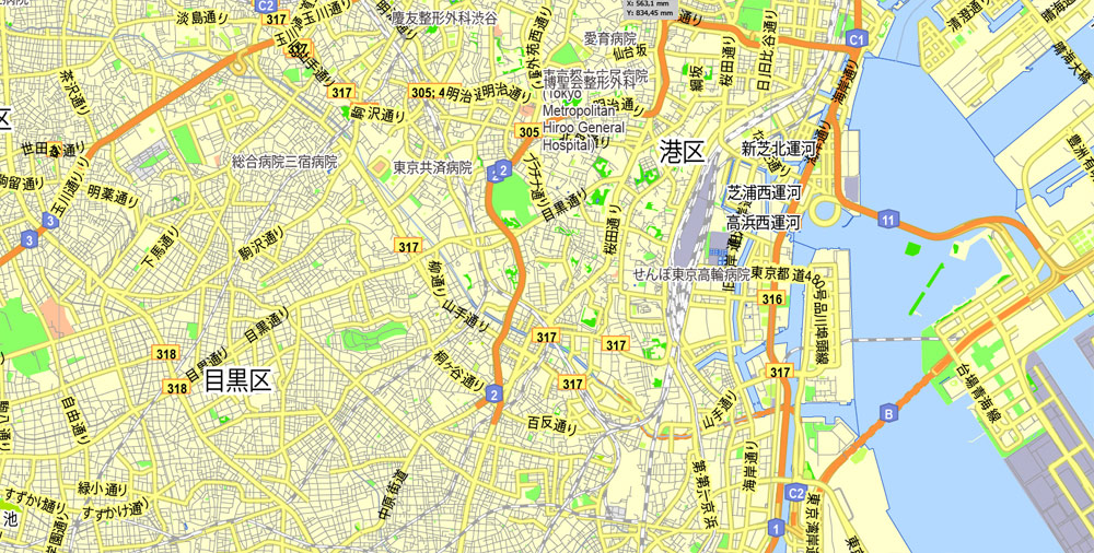
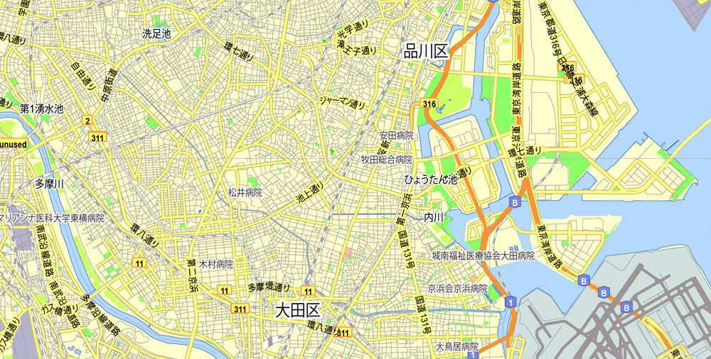
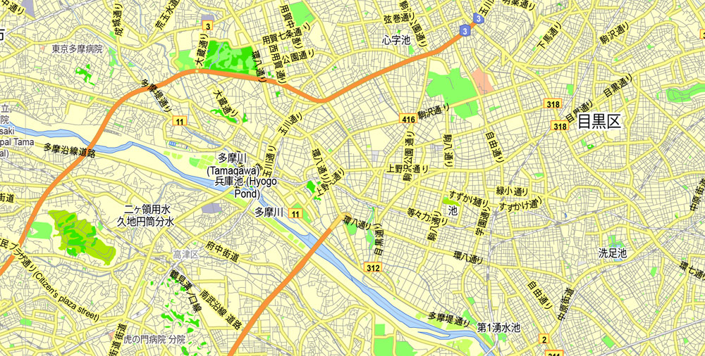
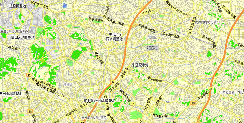
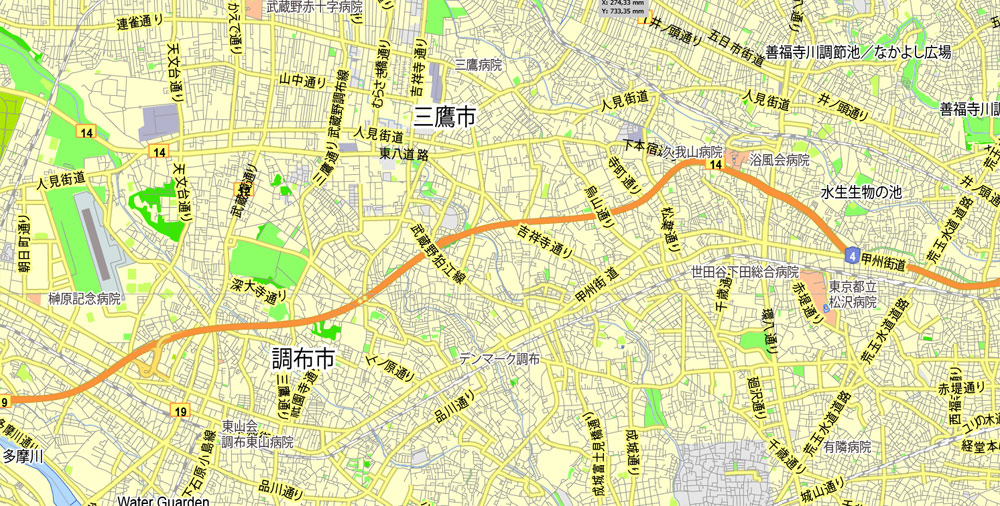
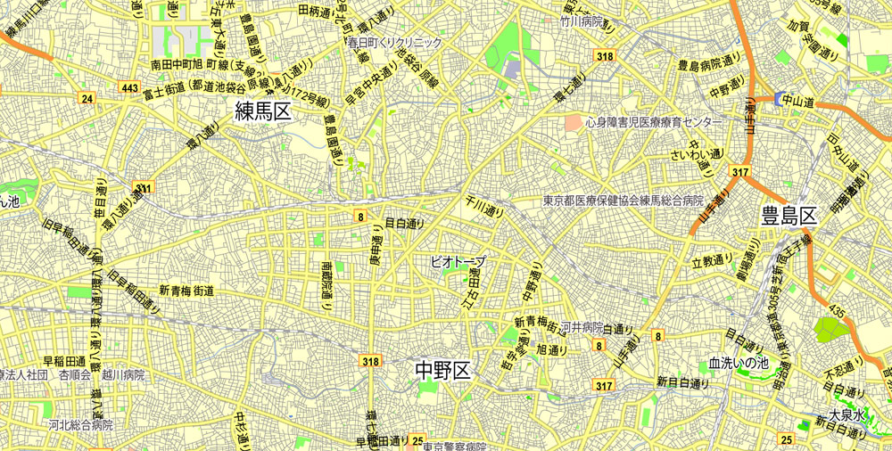
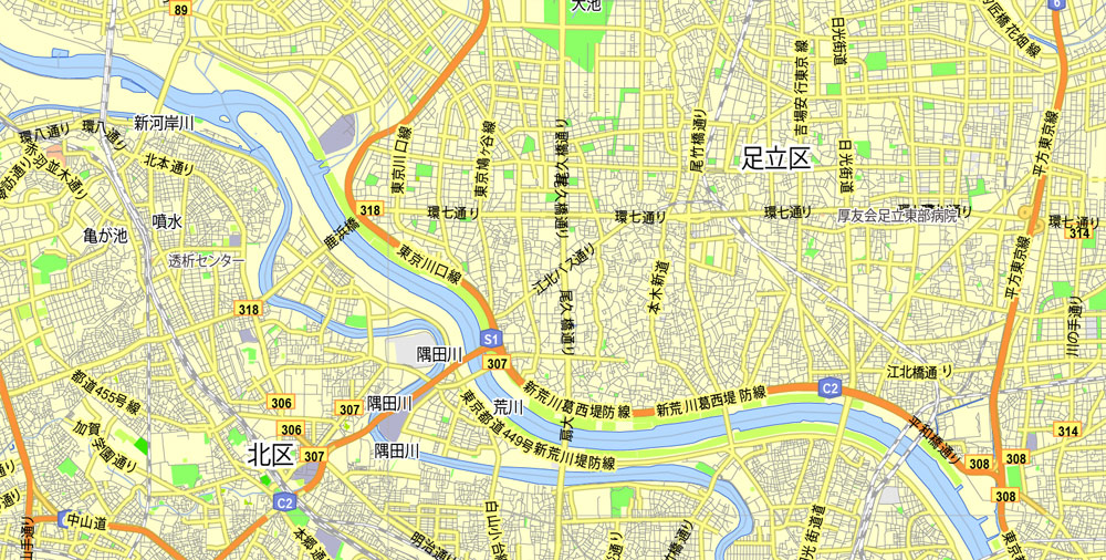
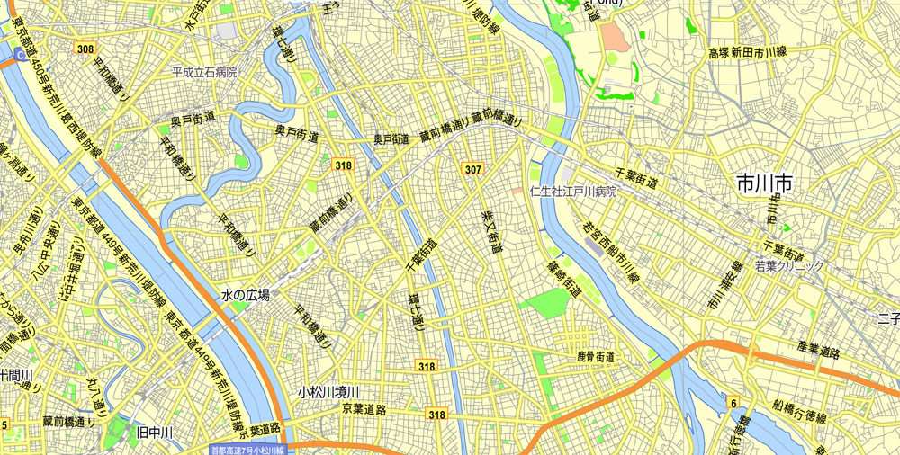
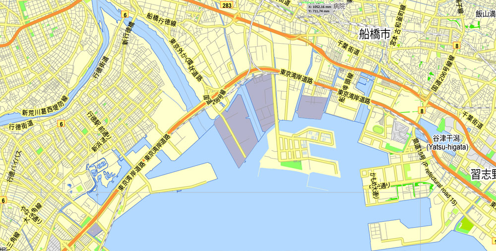
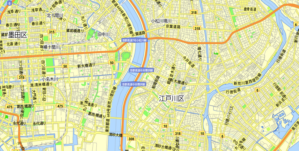
Tokyo, Japan, printable exact vector map G-View level 13 (2,000 meters) street City Plan V.3.09 full editable, Adobe PDF, full vector, scalable, editable text format street names, 35 mb ZIP
All streets, No buildings.
Separated layers – Names + Halo, Symbols, Scales, Grownd.
Map for publishing, design, printing, arts, projects, presentations, for architects, designers and builders, business, logistics. The most accurate and detailed map.
You can edit this file by Adobe Illustrator, Adobe Acrobat, Corel Draw.
DWG, DXF, CDR and other formats – on request, same price, please, contact
Tokyo, Japan.
This vector map of Tokyo is used as a basis for design, editing, and further printing.
This is the most detailed, exact map of Tokyo for high-quality printing and polygraphy. You can always clarify the map development date by contacting us.
For your convenience, all objects on Tokyo vector map are divided into layers. And the editing is very easy – colors, lines, etc.
You can easily add any objects needed (e.g. shops, salons, sale points, gas station or attraction) on any layer of Tokyo vector map.
Tokyo (東京) – one of the 47 prefectures of Japan, has served as the Japanese capital since 1869. As of 2014, the Greater Tokyo Area ranked as the most populous metropolitan area in the world. The urban area houses the seat of the Emperor of Japan, of the Japanese government and of the National Diet. Tokyo forms part of the Kantō region on the southeastern side of Japan’s main island, Honshu, and includes the Izu Islands and Ogasawara Islands. Tokyo was formerly named Edo when Shōgun Tokugawa Ieyasu made the city as his headquarters in 1603. It became the capital after Emperor Meiji moved his seat to the city from Kyoto in 1868; at that time Edo was renamed Tokyo. Tokyo Metropolis formed in 1943 from the merger of the former Tokyo Prefecture (東京府 Tōkyō-fu) and the city of Tokyo (東京市 Tōkyō-shi).
One of the advantages of Tokyo vector maps of our production is the relevance of cartographic data, we constantly update all our products.
This vector map of Tokyo is used by:
designers, layout designers, printers, advertisers and architects. Our product – vector maps – is designed for further editing and printing in large formats – from @Wall format (a few meters) to A-0 and A-1, A-2, A-3.
Tokyo map in vector format is used for design, urban planning, presentations and media visualizations.
Advertising and presentation map of Tokyo (usually the final designer marks the routes, and puts the client’s objects (shops, saloons, gas stations etc.)
The undoubted advantage is that people will NEVER throw out this advertising product – the map. In fact, as an advertising medium, a map is the most “long-playing” of the well-known polygraphic advertising media, with the longest lifespan, and the maximum number of interactions with the customer.
For travelers, maps are sold at the airports and gas stations around the world. Often the source is our vector maps.
Take a look, who purchases our vector maps of Tokyo in “Our Clients and Friends” page – these are large and small companies, from super-brands like Volvo and Starbucks, to small design studios and printing houses.
It’s very easy to work with vector maps of Tokyo, even for a not very experienced designer who can turn on and off the map layers, add new objects, change the colors of fill and lines according to customer requirements.
The undoubted advantage of Tokyo vector maps in printing is an excellent and detailed visualization, when customer can expand a large paper map and instantly define his location, find a landmark, an object or address on map, unlike using the popular electronic formats of Google and Yandex maps for example.
Printable vector maps of Tokyo are much more convenient and efficient than any electronic maps on your smartphone, because ALL DETAILS are displayed in the entire space of Tokyo map.
Useful tips on working with vector maps of cities and countries in Adobe Illustrator.
«V» – launches the Selection tool (cursor, black arrow), which makes active any vector line.
«А» – launches the Direct Selection tool (white cursor), allows you to select curve elements and drag them to the desired place.
«R» – activates the Rotate tool, which helps you rotating selected objects around the center point by 360 degrees.
«E» – gives you the opportunity to use the Eraser tool and erase unnecessary parts.
«X» – switches between Fill and Stroke in the Tools section. Try to get used to this hot key and
you will quickly understand that you can’t live and work without it.
Guides are not limited to vertical and horizontal in Adobe Illustrator. You can also create a diagonal guide for example. Moreover, you can turn any contours into guides. Select the outline and go to View > Guides > Make Guides (Create Guides), or simply press Cmd/Ctrl + 5. You can also turn the guides back into an editable object. Go to menu, View > Guides > Unlock Guides (Release Guides), select the guide you want to edit and select View > Guides > Release Guides (Reset Guides), or just press Cmd/Ctrl + Option / Alt + 5).
Tokyo is often referred to as a city but is officially known and governed as a “metropolitan prefecture”, which differs from and combines elements of a city and a prefecture, a characteristic unique to Tokyo.
You will probably want to change the color scheme used on our Tokyo vector map.
To quickly and effectively play with colors.
Of course, you can do it manually, all objects in our Tokyo vector map are divided according to types and layers, and you can easily change the color gamma of vector objects in groups and layers.
But there is more effective way of working with the whole VECTOR MAP of Tokyo and all layers:
The overview dialog «Edit colors»/«Repaint Graphic Object» (this dialog box name can change depending on the context):
If you have selected a part or a layer of Tokyo vector map and open the dialog box by clicking the icon in the Control panel, on the Samples palette or the Color Catalog, or if you choose Edit > Edit Colors> Repaint Graphic Object, then the «Repaint Graphic Object» dialog box appears, and you get access to «Assign» and «Edit» tabs.
If a picture or a map fragment is not selected, and you open the dialog box by clicking the icon in the Control panel, on the Samples palette or in the Color Catalog, the «Edit Colors» dialog box appears and you can only access the «Edit» tab.
Regardless of the name at the top of the dialog box, the right-hand side always displays the color group of the current document, as well as two default color groups: Print Color and Grayscale. These color groups can be selected and used any time.
Create and edit color groups of Tokyo vector map, and also assign colors using the «Edit Colors»/ а «Repaint Graphic Object» dialog box.
A. Creating and editing of a color group on the «Edit» tab
B. Assigning colors on the «Assign» tab
C. Select a group of colors from the «Color groups» list
The option «Repaint a graphic object» in the lower part of the dialog box allows you to preview the colors on a selected layer of Vector map, or a group of elements, and specify whether its colors will be redefined when the dialog box is closed.
The main areas of the dialog box are:
«Edit»
The «Edit» tab is designed to create a new or edit the existing color groups.
The harmony rules Menu and the Color Wheel are used to conduct experiments with color harmonies. The color wheel shows how colors are related in color harmony, and the color bars allow you to view and manipulate an individual color values. In addition, you can adjust the brightness, add and remove colors, save color groups and view colors on the selected Vector Map of Tokyo or a separated layers.
«Assign»
The «Assign» tab is used to view and control on how the original colors are replaced with colors from the color group like your corporate colors in the Vector Map of Tokyo.
The assign color ability is provided only if the entire map, layer or fragment is selected in the document. You can specify which of new colors replace the current colors, whether the spot colors should be preserved and how colors are replaced (for example, you can replace colors completely or changing the color tone while maintaining the brightness). The «Assign» tab allows you to redefine colors in the Vector Map of Tokyo, or in separate layers and fragments using the current color group or reducing the number of colors in the current Vector Map.
Color groups
Is a list of all saved color groups for current document (the same groups appear in the «Samples» palette). You can edit and delete the existing color groups, as well as creating a new ones using the list of “Color Groups” in the dialog box. All changes appear in the «Samples» palette.
The highlighted color group shows, which color group is currently edited.
The 23 Special Wards of Tokyo were formerly Tokyo City. On July 1, 1943, it merged with Tokyo Prefecture and became Tokyo Metropolis with an additional 26 municipalities in the western part of the prefecture, and the Izu islands and Ogasawara islands south of Tokyo. The population of the special wards is over 9 million people, with the total population of Tokyo Metropolis exceeding 13.8 million. The prefecture is part of the world’s most populous metropolitan area called the Greater Tokyo Area with over 38 million people and the world’s largest urban agglomeration economy. As of 2011, Tokyo hosted 51 of the Fortune Global 500 companies, the highest number of any city in the world at that time. Tokyo ranked third (twice) in the International Financial Centres Development Index. The city is home to various television networks such as Fuji TV, Tokyo MX, TV Tokyo, TV Asahi, Nippon Television, NHK and the Tokyo Broadcasting System.
Any color group can be selected and edited, or used to redefine the colors in the selected vector map of Tokyo , its fragments or elements.
Saving a color group adds this group to the specified list.
Opening the «Edit Colors»/«Repaint Graphic Object» dialog box.
Open the «Edit Colors»/«Repaint Graphic Object» dialog box using one of the following methods:
«Edit»> «Edit Colors»> «Repaint Graphic object» or «Repaint With Style».
Use these commands if you need to edit the colors in the selected vector map of Tokyo.
«Repaint Graphic object» button on the «Control» panel.
Use this button if you need to adjust colors of Tokyo vector map using the а «Repaint graphic object» dialog box.
The specified button is available if the selected vector map or its fragment contains two or more colors.
Note. This color editing method is convenient for global color adjustment in a vector map, if global colors were not used when creating a Map of Tokyo.
The «Edit colors» button or «Edit or apply colors» on the «Color Catalog» palette
Click this button if you need to edit colors on the «Color Catalog» palette or edit and then apply them to the selected Vector Map of Tokyo or its fragment.
The «Edit color group» button or «Edit or apply color group» on the «Samples» palette.
Click this button if you need to edit the colors in the specific color group or edit and apply them to the selected Vector Map of Tokyo or a group of its elements, for example, the whole layer “Streets and lines”. You can also double-click the color group in the Samples panel to open the dialog box.
If the map file is too large and your computer freezes or even can’t open it quickly:
1. Try to reduce the color resolution of the video card (display) to 256 colors while working with a large map.
2. Using Windows Task Manager, select all the application you don’t need, while working with map, just turn them off.
3. Launch Adobe Illustrator. (DO NOT OPEN the vector map file)
4. Start the Windows Task Manager using administrator rights > Find the “Illustrator” process > set the «real time» priority,
5. Open the file. When you see the LEGACY FONT popup window – click “OK” (do not update). You can restore the TEXT later.
6. Can also be useful: When file is opened – Edit > Settings > Basic Settings > disable smoothing. /// It looks scary, but works quickly)))
We recommend saving the file in Adobe Illustrator 10 version. It’s much more stable when working with VERY BIG size files.
Tokyo ranks first in the Global Economic Power Index and third in the Global Cities Index. The GaWC’s 2008 inventory classified Tokyo as an alpha+ world city – and as of 2014 TripAdvisor’s World City Survey ranked Tokyo first in its “Best overall experience” category (the city also ranked first in the following categories: “helpfulness of locals”, “nightlife”, “shopping”, “local public transportation” and “cleanliness of streets”). As of 2015 Tokyo ranked as the 11th-most expensive city for expatriates, according to the Mercer consulting firm, and also the world’s 11th-most expensive city according to the Economist Intelligence Unit’s cost-of-living survey. In 2015, Tokyo was named the Most Liveable City in the world by the magazine Monocle. The Michelin Guide has awarded Tokyo by far the most Michelin stars of any city in the world. Tokyo was ranked first out of all sixty cities in the 2017 Safe Cities Index. The QS Best Student Cities ranked Tokyo as the 3rd-best city in the world to be a university student in 2016 and 2nd in 2018. Tokyo hosted the 1964 Summer Olympics, the 1979 G-7 summit, the 1986 G-7 summit, and the 1993 G-7 summit, and will host the 2019 Rugby World Cup, the 2020 Summer Olympics and the 2020 Summer Paralympics.
The mainland portion of Tokyo lies northwest of Tokyo Bay and measures about 90 km (56 mi) east to west and 25 km (16 mi) north to south. The average elevation in Tokyo is 40 m (131 ft). Chiba Prefecture borders it to the east, Yamanashi to the west, Kanagawa to the south, and Saitama to the north. Mainland Tokyo is further subdivided into the special wards (occupying the eastern half) and the Tama area (多摩地域) stretching westwards.
Also within the administrative boundaries of Tokyo Metropolis are two island chains in the Pacific Ocean directly south: the Izu Islands, and the Ogasawara Islands, which stretch more than 1,000 km (620 mi) away from the mainland. Because of these islands and the mountainous regions to the west, Tokyo’s overall population density figures far under-represent the real figures for the urban and suburban regions of Tokyo.
Under Japanese law, Tokyo is designated as a to (都), translated as metropolis. Its administrative structure is similar to that of Japan’s other prefectures. The 23 special wards (特別区 -ku), which until 1943 constituted the city of Tokyo, are self-governing municipalities, each having a mayor, a council, and the status of a city.
In addition to these 23 special wards, Tokyo also includes 26 more cities (市 -shi), five towns (町 -chō or machi), and eight villages (村 -son or -mura), each of which has a local government. The Tokyo Metropolitan Government administers the whole metropolis including the 23 special wards and the cities and towns that constitute the prefecture Tokyo Metropolis. It is headed by a publicly elected governor and metropolitan assembly. Its headquarters are located in Shinjuku Ward.
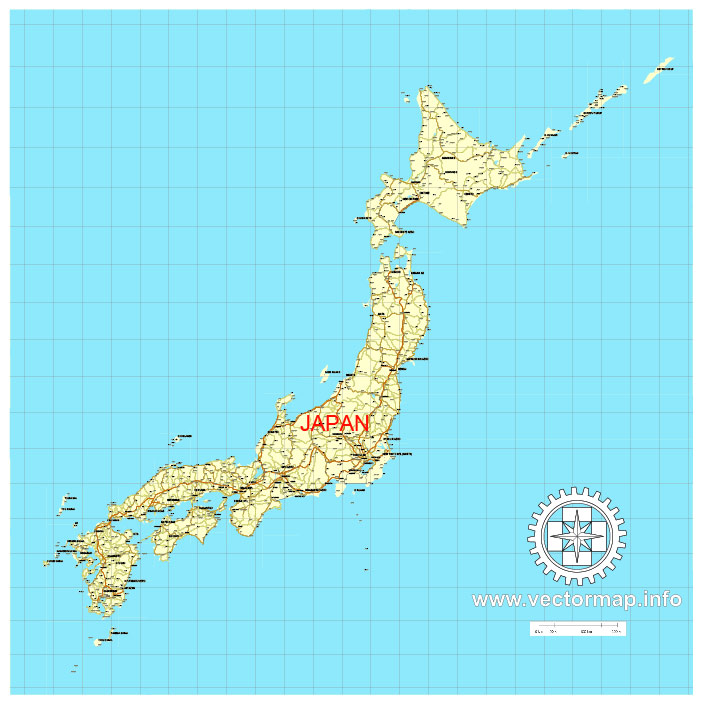
Free vector map Japan, Adobe Illustrator, download now maps vector clipart >>>>>
Map for design, projects, presentation free to use as you like.

 Author: Kirill Shrayber, Ph.D. FRGS


