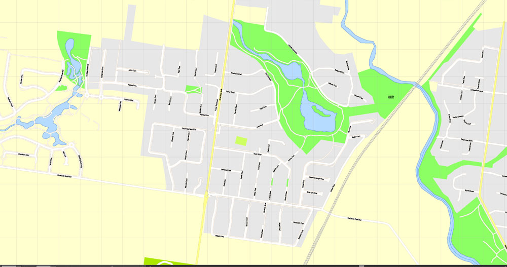
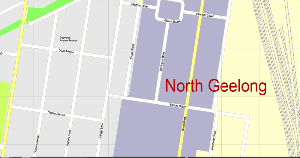
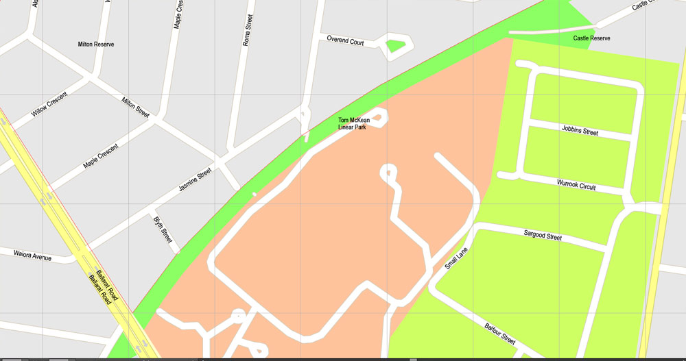
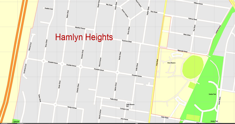
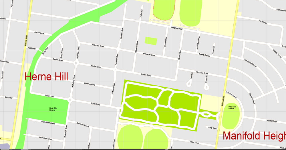
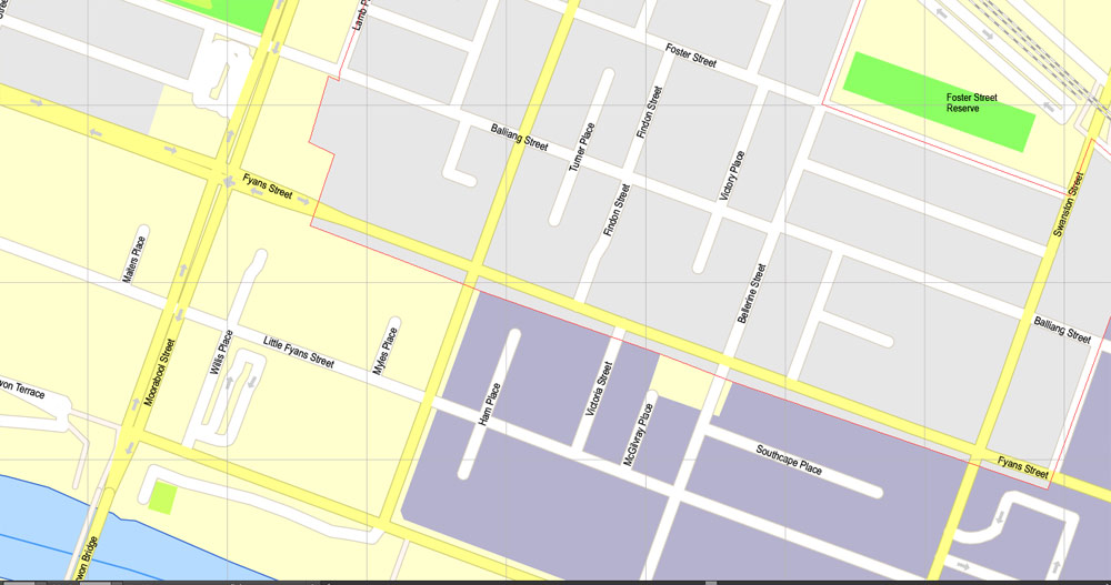
Printable PDF Map Geelong, Australia, exact vector street map, V17.11, fully editable, Adobe PDF, G-View Level 17 (100 meters scale), full vector, scalable, editable, text format of street names, 8 Mb ZIP.
All streets named, NO buildings, main objects. Map for publishing, design, printing, publications, arts, projects, presentations, for architects, designers and builders, business, logistics. The most exact and detailed map of the city.
Separated layers: streets and roads, color fills, road labels, street arrows, objects, names 1,2,3, scales. Royalty Free.
You can edit this file by Adobe Illustrator, Adobe Acrobat, Corel Draw.
DWG, DXF, CDR and other formats – by request, same price, please contact.
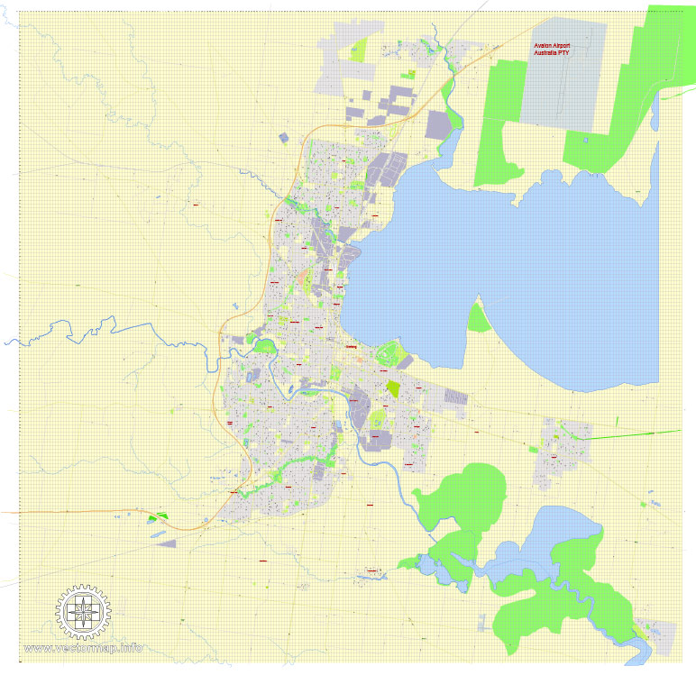
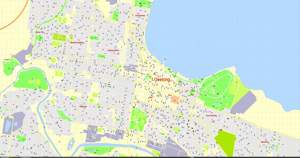
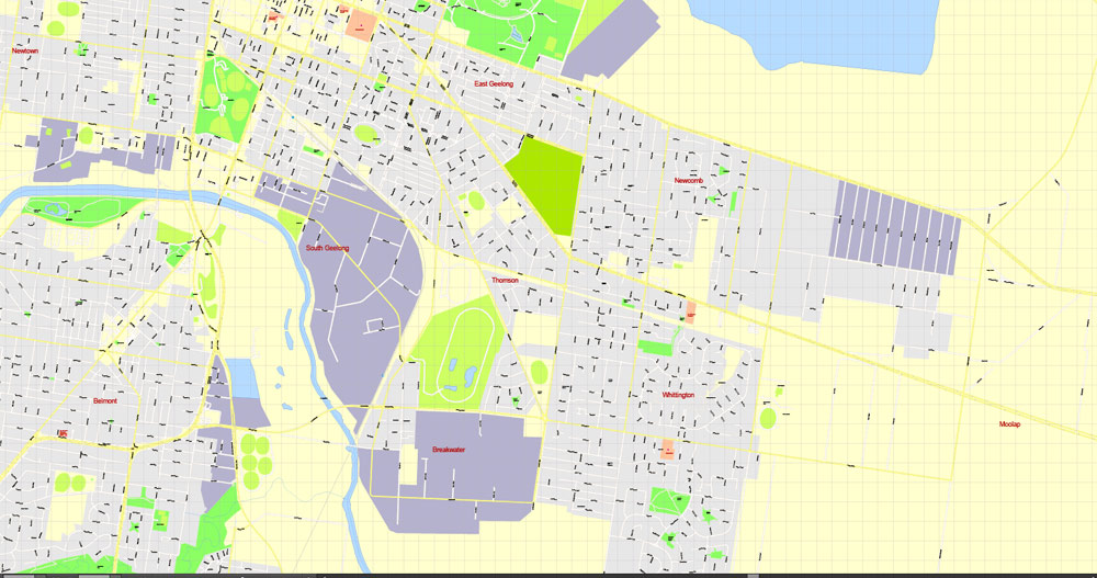
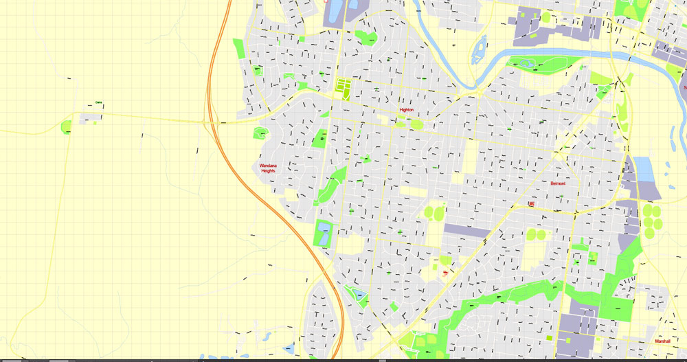
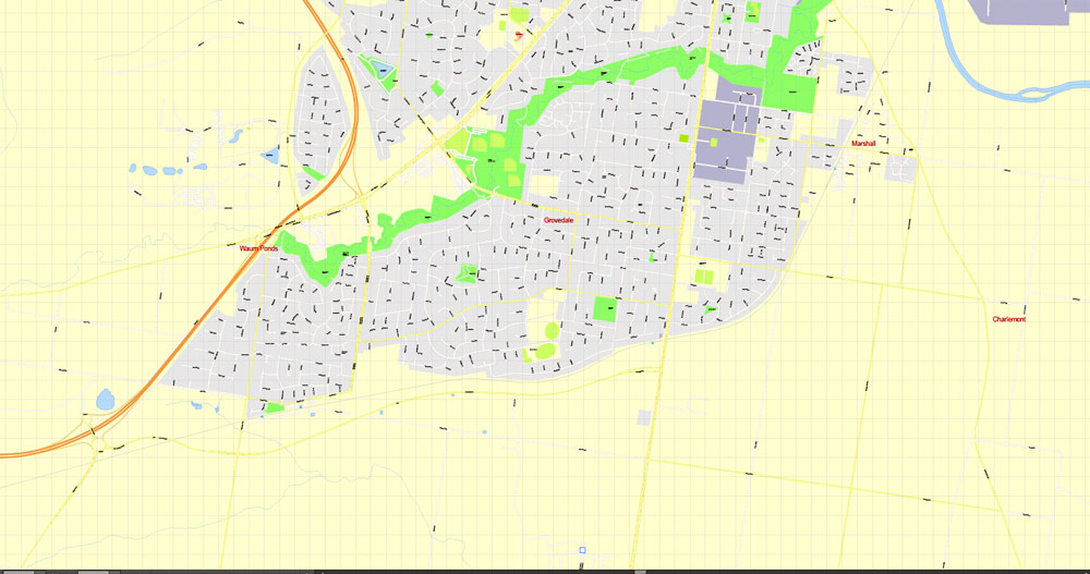
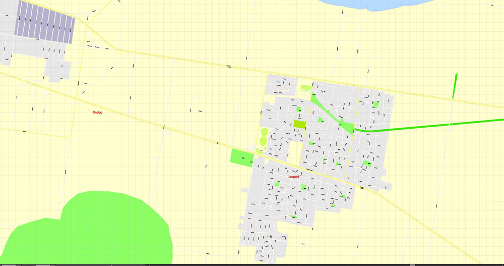
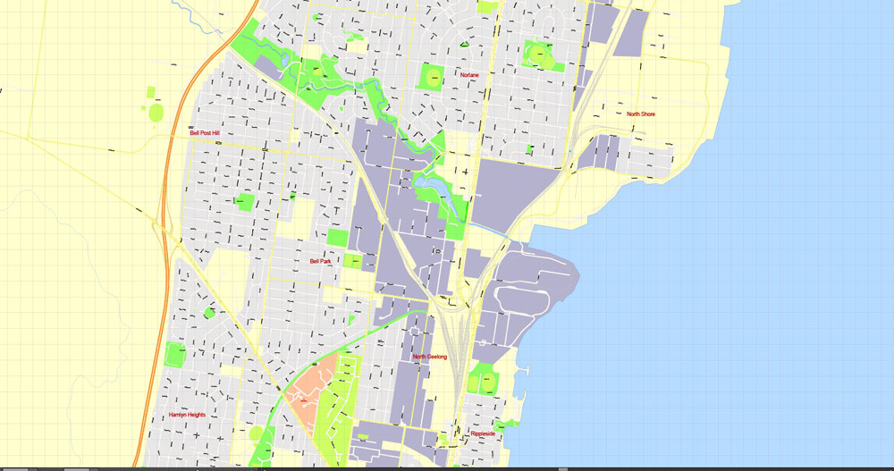
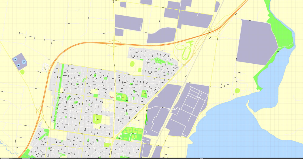
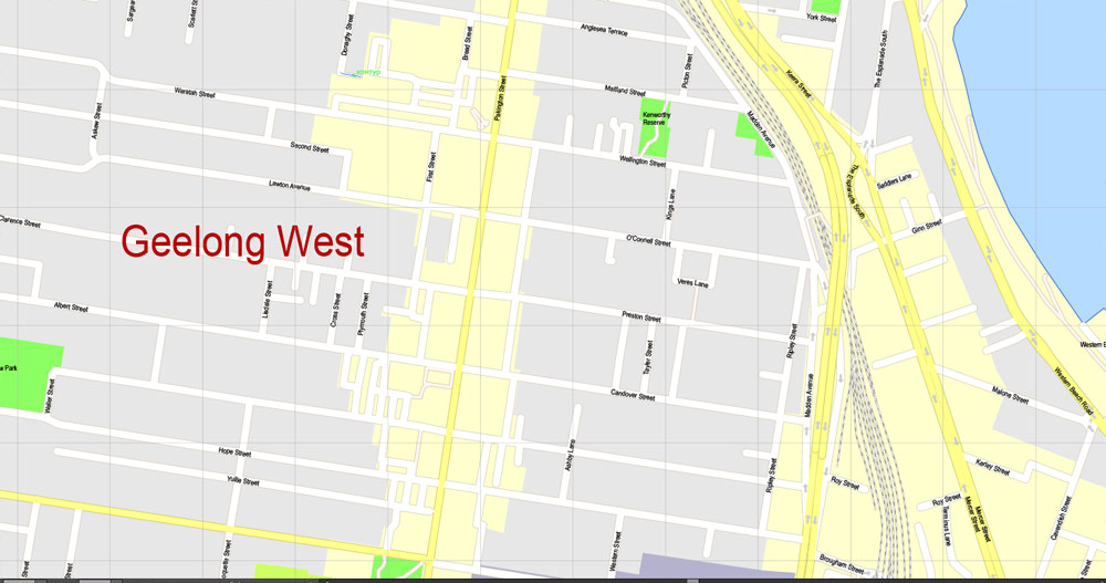
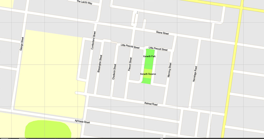
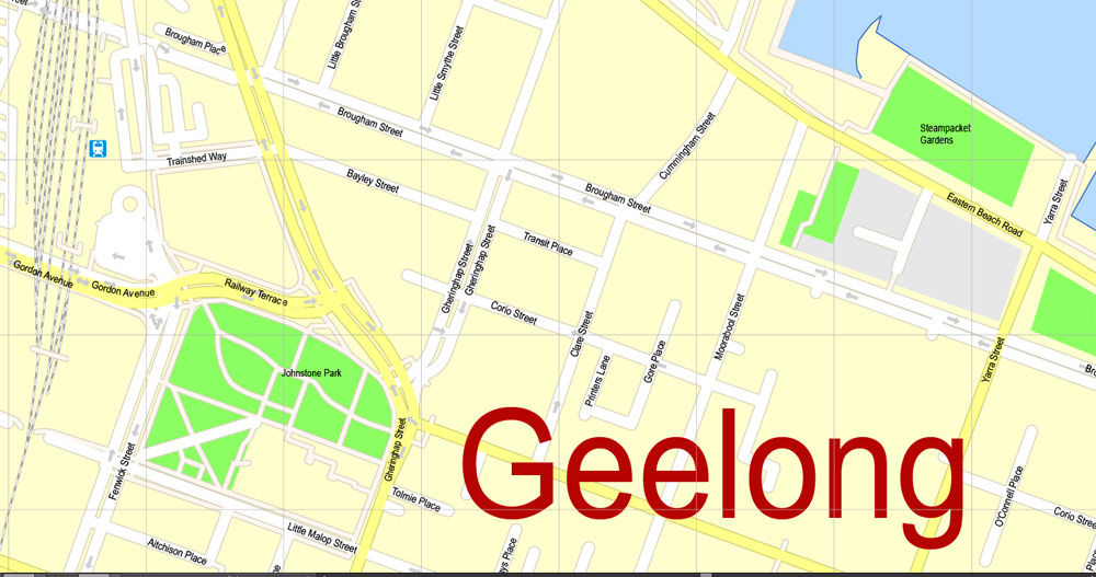
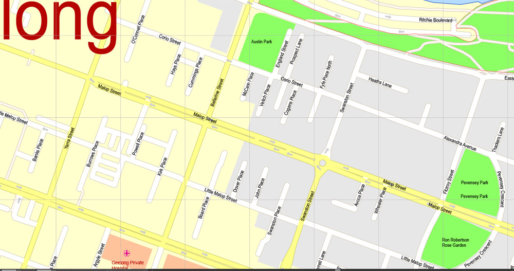
Geelong, Victoria, Australia.
This vector map of Geelong is used as a basis for design, editing, and further printing.
This is the most detailed, exact map of Geelong for high-quality printing and polygraphy. You can always clarify the map development date by contacting us.
For your convenience, all objects on Geelong vector map are divided into layers. And the editing is very easy – colors, lines, etc.
You can easily add any objects needed (e.g. shops, salons, sale points, gas station or attraction) on any layer of Geelong vector map.
Geelong is a port city located on Corio Bay and the Barwon River, in the state of Victoria, Australia. Geelong is 75 kilometres (47 mi) south-west of the state capital, Melbourne. It is the second largest Victorian city, with an estimated urban population of 192,393 as of June 2016.
One of the advantages of Geelong vector maps of our production is the relevance of cartographic data, we constantly update all our products.
This vector map of Geelong is used by:
designers, layout designers, printers, advertisers and architects. Our product – vector maps – is designed for further editing and printing in large formats – from @Wall format (a few meters) to A-0 and A-1, A-2, A-3.
Geelong map in vector format is used for design, urban planning, presentations and media visualizations.
Advertising and presentation map of Geelong (usually the final designer marks the routes, and puts the client’s objects (shops, saloons, gas stations etc.)
The undoubted advantage is that people will NEVER throw out this advertising product – the map. In fact, as an advertising medium, a map is the most “long-playing” of the well-known polygraphic advertising media, with the longest lifespan, and the maximum number of interactions with the customer.
For travelers, maps are sold at the airports and gas stations around the world. Often the source is our vector maps.
Take a look, who purchases our vector maps of Geelong in “Our Clients and Friends” page – these are large and small companies, from super-brands like Volvo and Starbucks, to small design studios and printing houses.
It’s very easy to work with vector maps of Geelong, even for a not very experienced designer who can turn on and off the map layers, add new objects, change the colors of fill and lines according to customer requirements.
Geelong runs from the plains of Lara in the north to the rolling hills of Waurn Ponds to the south, with Corio Bay to the east and hills to the west. Geelong is the administrative centre for the City of Greater Geelong municipality, which covers urban, rural and coastal areas surrounding the city, including the Bellarine Peninsula.
The undoubted advantage of Geelong vector maps in printing is an excellent and detailed visualization, when customer can expand a large paper map and instantly define his location, find a landmark, an object or address on map, unlike using the popular electronic formats of Google and Yandex maps for example.
Printable vector maps of Geelong are much more convenient and efficient than any electronic maps on your smartphone, because ALL DETAILS are displayed in the entire space of Geelong map.
Useful tips on working with vector maps of cities and countries in Adobe Illustrator.
«V» – launches the Selection tool (cursor, black arrow), which makes active any vector line.
«А» – launches the Direct Selection tool (white cursor), allows you to select curve elements and drag them to the desired place.
«R» – activates the Rotate tool, which helps you rotating selected objects around the center point by 360 degrees.
«E» – gives you the opportunity to use the Eraser tool and erase unnecessary parts.
«X» – switches between Fill and Stroke in the Tools section. Try to get used to this hot key and
you will quickly understand that you can’t live and work without it.
Guides are not limited to vertical and horizontal in Adobe Illustrator. You can also create a diagonal guide for example. Moreover, you can turn any contours into guides. Select the outline and go to View > Guides > Make Guides (Create Guides), or simply press Cmd/Ctrl + 5. You can also turn the guides back into an editable object. Go to menu, View > Guides > Unlock Guides (Release Guides), select the guide you want to edit and select View > Guides > Release Guides (Reset Guides), or just press Cmd/Ctrl + Option / Alt + 5).
You will probably want to change the color scheme used on our Geelong vector map.
To quickly and effectively play with colors.
Of course, you can do it manually, all objects in our Geelong vector map are divided according to types and layers, and you can easily change the color gamma of vector objects in groups and layers.
But there is more effective way of working with the whole VECTOR MAP of Geelong and all layers:
The overview dialog «Edit colors»/«Repaint Graphic Object» (this dialog box name can change depending on the context):
If you have selected a part or a layer of Geelong vector map and open the dialog box by clicking the icon in the Control panel, on the Samples palette or the Color Catalog, or if you choose Edit > Edit Colors> Repaint Graphic Object, then the «Repaint Graphic Object» dialog box appears, and you get access to «Assign» and «Edit» tabs.
If a picture or a map fragment is not selected, and you open the dialog box by clicking the icon in the Control panel, on the Samples palette or in the Color Catalog, the «Edit Colors» dialog box appears and you can only access the «Edit» tab.
Regardless of the name at the top of the dialog box, the right-hand side always displays the color group of the current document, as well as two default color groups: Print Color and Grayscale. These color groups can be selected and used any time.
Create and edit color groups of Geelong vector map, and also assign colors using the «Edit Colors»/ а «Repaint Graphic Object» dialog box.
A. Creating and editing of a color group on the «Edit» tab
B. Assigning colors on the «Assign» tab
C. Select a group of colors from the «Color groups» list
The option «Repaint a graphic object» in the lower part of the dialog box allows you to preview the colors on a selected layer of Vector map, or a group of elements, and specify whether its colors will be redefined when the dialog box is closed.
The main areas of the dialog box are:
«Edit»
The «Edit» tab is designed to create a new or edit the existing color groups.
The harmony rules Menu and the Color Wheel are used to conduct experiments with color harmonies. The color wheel shows how colors are related in color harmony, and the color bars allow you to view and manipulate an individual color values. In addition, you can adjust the brightness, add and remove colors, save color groups and view colors on the selected Vector Map of Geelong or a separated layers.
«Assign»
The «Assign» tab is used to view and control on how the original colors are replaced with colors from the color group like your corporate colors in the Vector Map of Geelong.
The assign color ability is provided only if the entire map, layer or fragment is selected in the document. You can specify which of new colors replace the current colors, whether the spot colors should be preserved and how colors are replaced (for example, you can replace colors completely or changing the color tone while maintaining the brightness). The «Assign» tab allows you to redefine colors in the Vector Map of Geelong, or in separate layers and fragments using the current color group or reducing the number of colors in the current Vector Map.
Color groups
Is a list of all saved color groups for current document (the same groups appear in the «Samples» palette). You can edit and delete the existing color groups, as well as creating a new ones using the list of “Color Groups” in the dialog box. All changes appear in the «Samples» palette.
The highlighted color group shows, which color group is currently edited.
Any color group can be selected and edited, or used to redefine the colors in the selected vector map of Geelong , its fragments or elements.
Saving a color group adds this group to the specified list.
Opening the «Edit Colors»/«Repaint Graphic Object» dialog box.
Open the «Edit Colors»/«Repaint Graphic Object» dialog box using one of the following methods:
«Edit»> «Edit Colors»> «Repaint Graphic object» or «Repaint With Style».
Use these commands if you need to edit the colors in the selected vector map of Geelong city.
«Repaint Graphic object» button on the «Control» panel.
Use this button if you need to adjust colors of Geelong vector map using the а «Repaint graphic object» dialog box.
The specified button is available if the selected vector map or its fragment contains two or more colors.
Note. This color editing method is convenient for global color adjustment in a vector map, if global colors were not used when creating a Map of Geelong.
The «Edit colors» button or «Edit or apply colors» on the «Color Catalog» palette
Click this button if you need to edit colors on the «Color Catalog» palette or edit and then apply them to the selected Vector Map of Geelong or its fragment.
The «Edit color group» button or «Edit or apply color group» on the «Samples» palette.
Click this button if you need to edit the colors in the specific color group or edit and apply them to the selected Vector Map of Geelong or a group of its elements, for example, the whole layer “Streets and lines”. You can also double-click the color group in the Samples panel to open the dialog box.
If the map file is too large and your computer freezes or even can’t open it quickly:
1. Try to reduce the color resolution of the video card (display) to 256 colors while working with a large map.
2. Using Windows Task Manager, select all the application you don’t need, while working with map, just turn them off.
3. Launch Adobe Illustrator. (DO NOT OPEN the vector map file)
4. Start the Windows Task Manager using administrator rights > Find the “Illustrator” process > set the «real time» priority,
5. Open the file. When you see the LEGACY FONT popup window – click “OK” (do not update). You can restore the TEXT later.
6. Can also be useful: When file is opened – Edit > Settings > Basic Settings > disable smoothing. /// It looks scary, but works quickly)))
We recommend saving the file in Adobe Illustrator 10 version. It’s much more stable when working with VERY BIG size files.
Geelong City is also known as the ‘Gateway City’ due to its central location to surrounding Victorian regional centres like Ballarat in the north west, Torquay, Great Ocean Road and Warrnambool in the southwest, Hamilton, Colac and Winchelsea to the west, and the state capital of Melbourne in the north east.
Geelong was named in 1827, with the name derived from the local Wathaurong Aboriginal name for the region, Djillong, thought to mean “land” or “cliffs” or “tongue of land or peninsula”.
The area was first surveyed in 1838, three weeks after Melbourne. The post office was open by June 1840 (the second to open in the Port Phillip District). The first woolstore was erected in this period and it became the port for the wool industry of the Western District. During the gold rush, Geelong experienced a brief boom as the main port to the rich goldfields of the Ballarat district. The city then diversified into manufacturing, and during the 1860s, it became one of the largest manufacturing centres in Australia with its wool mills, ropeworks, and paper mills.
It was proclaimed a city in 1910, with industrial growth from this time until the 1960s establishing the city as a manufacturing centre for the state, and the population grew to over 100,000 by the mid-1960s. During the city’s early years, an inhabitant of Geelong was often known as a Geelongite, or a Pivotonian, derived from the city’s nickname of “The Pivot”, referencing the city’s role as a shipping and rail hub for the area. Population increases over the last decade were due to growth in service industries, as the manufacturing sector has declined. Redevelopment of the inner city has occurred since the 1990s, as well as gentrification of inner suburbs, and currently has a population growth rate higher than the national average.
It is home to the Geelong Football Club, the second oldest club in the Australian Football League.
Today, Geelong stands as an emerging health, education and advanced manufacturing hub. The city’s economy is shifting quickly and despite experiencing the drawbacks of losing much of its heavy manufacturing, it is seeing much growth in other sectors, positioning itself as one of the leading non-capital Australian cities.
Geography
Geelong is located on the shores of Corio Bay, a south-western inlet bay of Port Phillip. During clear weather, the Melbourne skyline is visible from areas of Geelong when viewed across Port Phillip. The Barwon River flows through the city to the south before entering Lake Connewarre and the Barwon River estuary at Barwon Heads before going into Bass Strait.
Geologically, the oldest rocks in the area date back to the Cambrian period 500 million years ago, with volcanic activity occurring in the Devonian period 350 million years ago. In prehistoric times water covered much of the lowlands that are now Geelong, with the Barwon River estuary located at Belmont Common, the course of the river being changed when Mount Moriac erupted and lava was sent eastwards towards Geelong.
To the east of the city are the Bellarine Hills and the undulating plains of the Bellarine Peninsula. To the west are the sandstone-derived Barrabool Hills and basalt Mount Duneed, and the volcanic plains to the north of Geelong extend to the Brisbane Ranges and the You Yangs. Soils vary from sandy loam, basalt plains, and river loam to rich volcanic soils, suitable for intensive farming, grazing, forestry, and viticulture.
Many materials used to construct buildings were quarried from Geelong, such as bluestone from the You Yangs and sandstone from the Brisbane Ranges. A small number of brown coal deposits exist in the Geelong region, most notably at Anglesea, where it has been mined to fuel Alcoa’s Anglesea Power Station since 1969. Limestone has also been quarried for cement production at Fyansford since 1888, and Waurn Ponds since 1964.
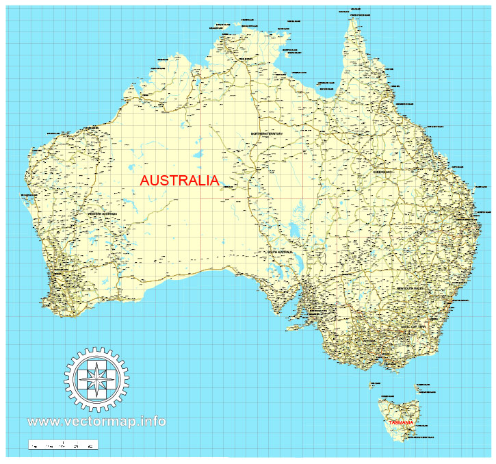
Free download vector map Australia, Adobe Illustrator, download now Free maps vector clipart >>>>>
Map for design, projects, presentation free to use as you like.
Share it!
Small guide: How to work with the vector map?
You can: Mass select objects by type and color – for example, the objects type “building” (they are usually dark gray) – and remove them from the map, if you do not need them in your print or design project. You can also easily change the thickness of lines (streets), just bulk selection the road by the line color.
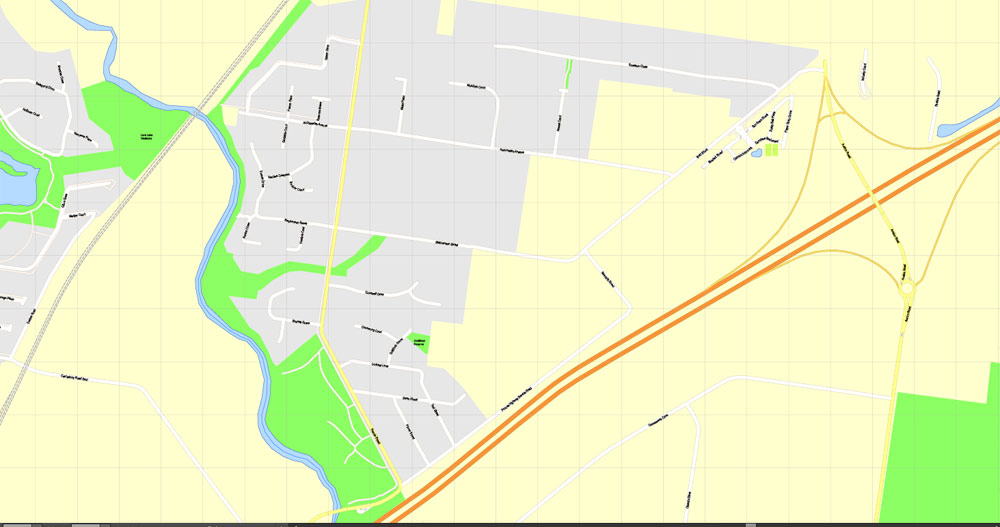
The streets are separated by type, for example, type “residential road” are usually white with a gray stroke. Highway usually orange with a brown or dark gray stroke.
It is easy to change the font of inscriptions, all or each individually. Also, just can be make and any other manipulation of objects on the vector map in Adobe illustrator format.
Important: All the proportions on the map are true, that is, the relative sizes of the objects are true, because Map is based on an accurate GPS projection, and It transated into the (usual for all) the Mercator projection.
You can easily change the color, stroke and fill of any object on the map, zoom without loss of quality Image Verification.
Select object

Bulk selection the same objects on the vector map

See the bulk selected objects on the vector map

Bulk delete buildungs from the vector map

Select residencial road (small street) on the vector map

Bulk selection the same lines (streets, roads) on the full map

Create fat lines of the streets on the vector maps (bulk action) 1

Create fat lines of the streets on the vector maps (bulk action) 2

Create fat lines of the streets on the vector maps (bulk action) 3

You can easily change the color, stroke and fill of any object on the map, zoom without loss of quality Image Verification.

 Author: Kirill Shrayber, Ph.D. FRGS
, full vector")