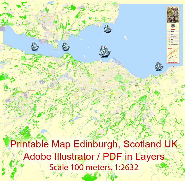
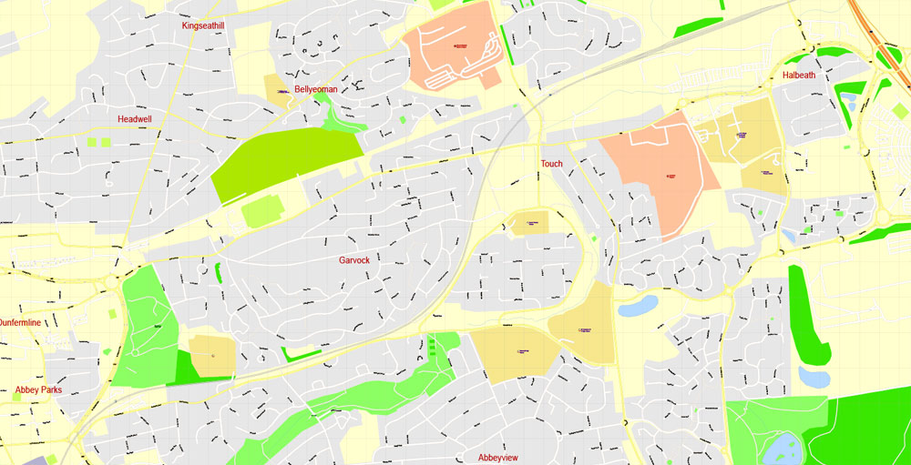
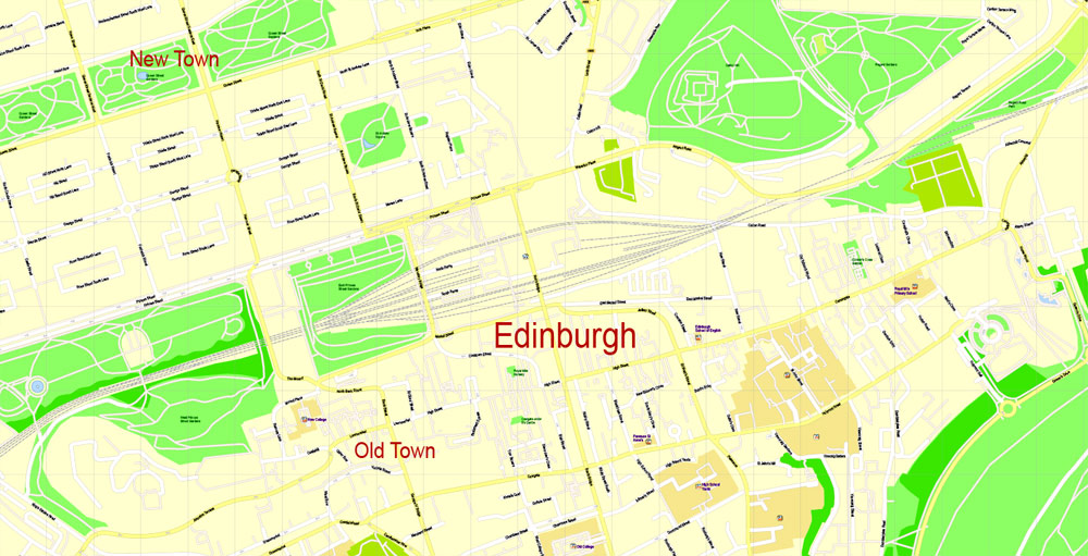
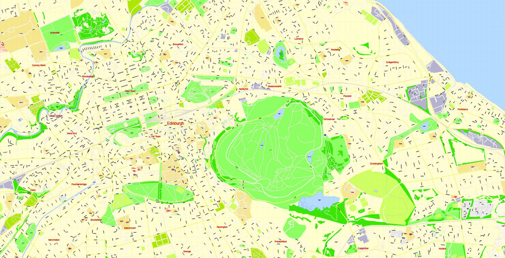
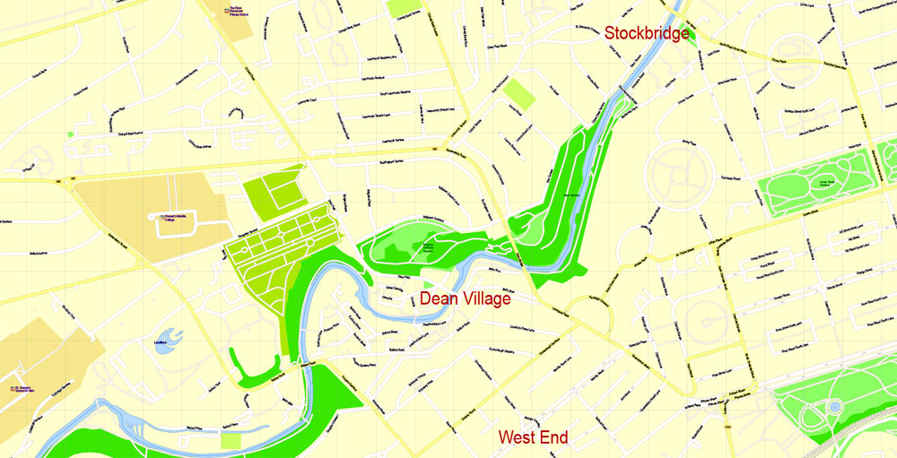
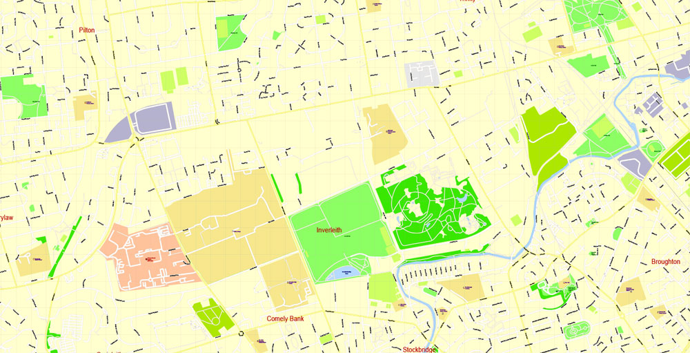
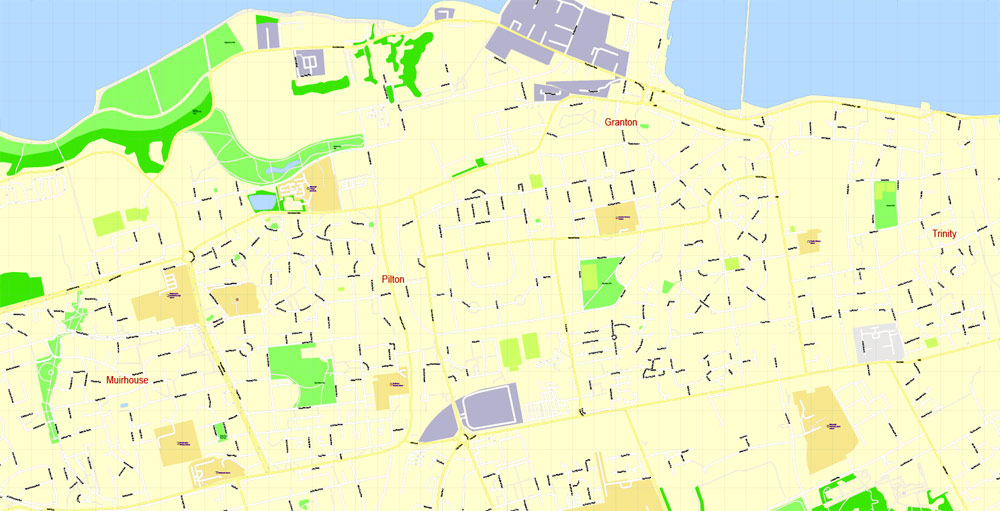
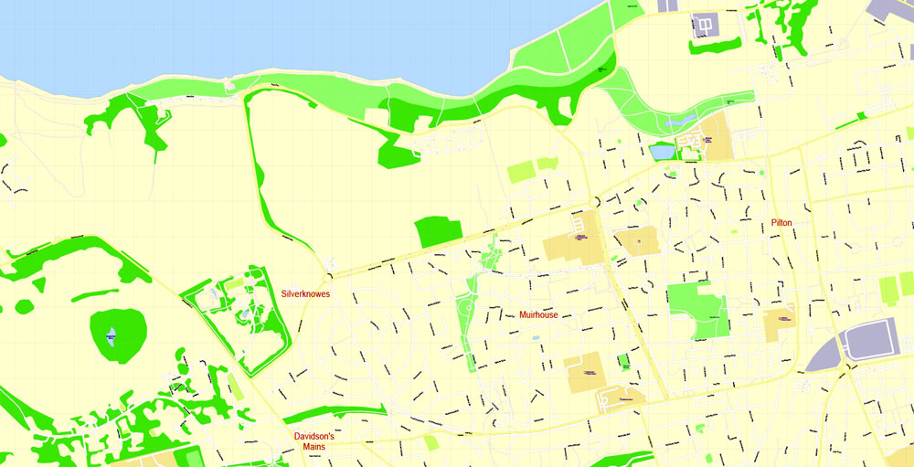
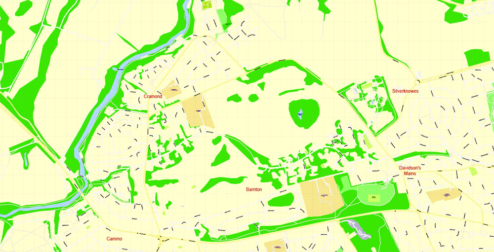
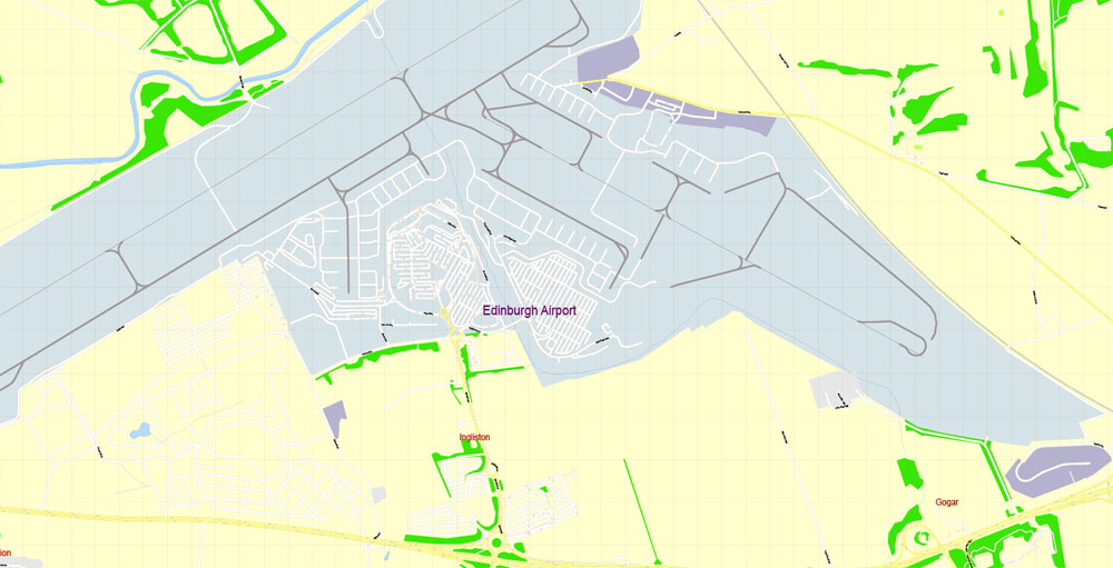
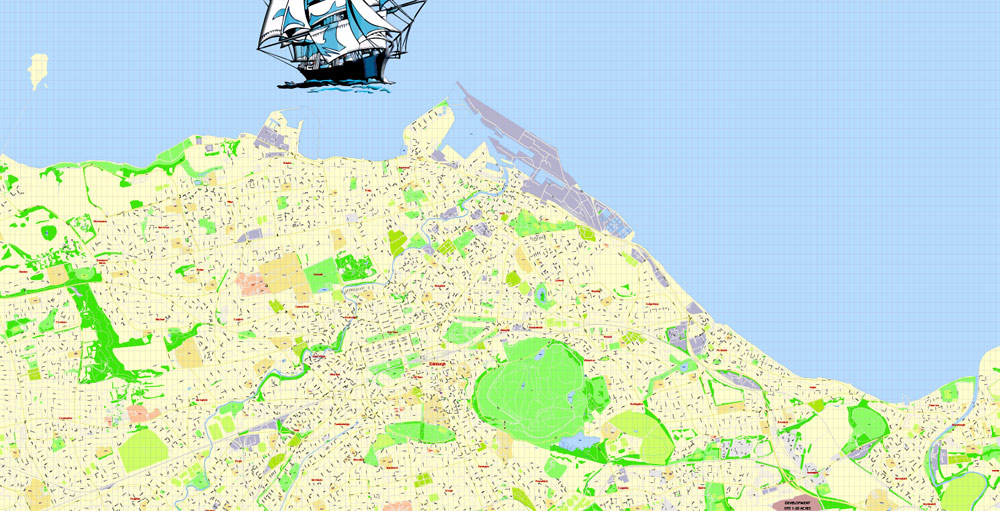
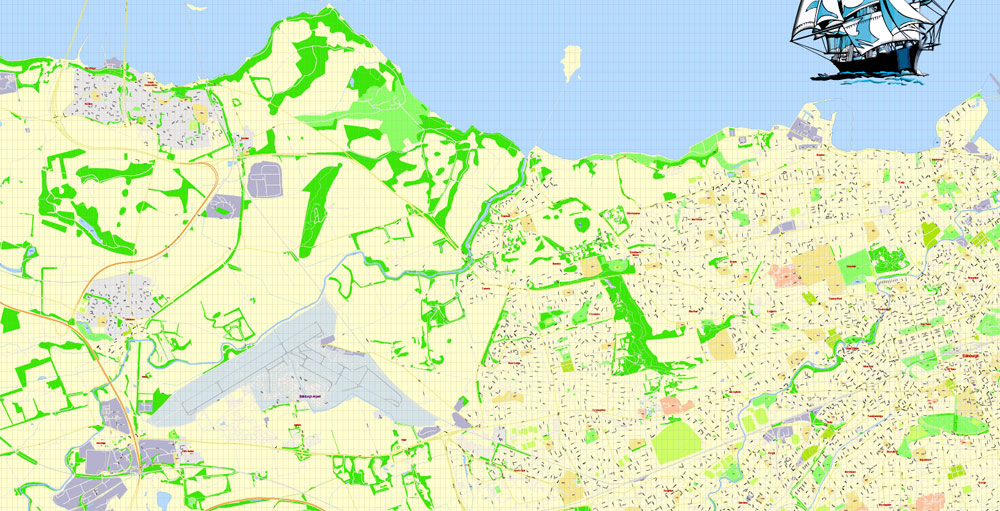
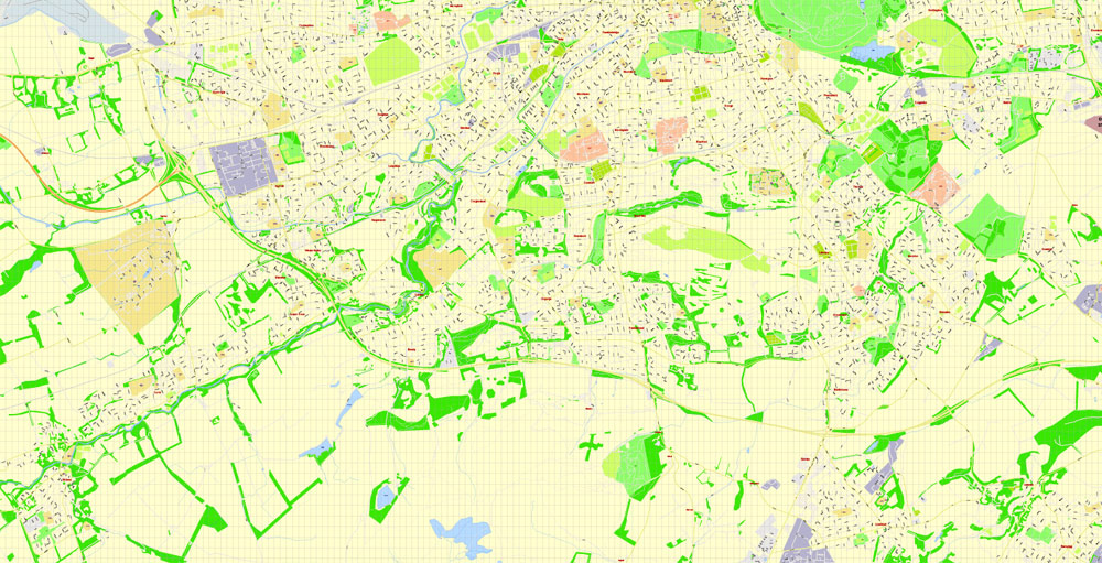
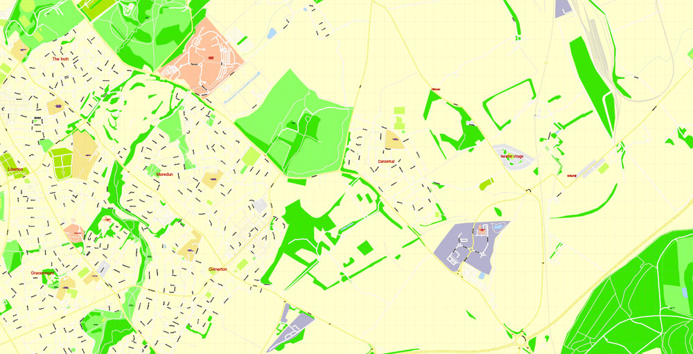
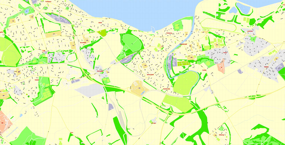
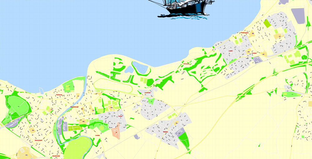
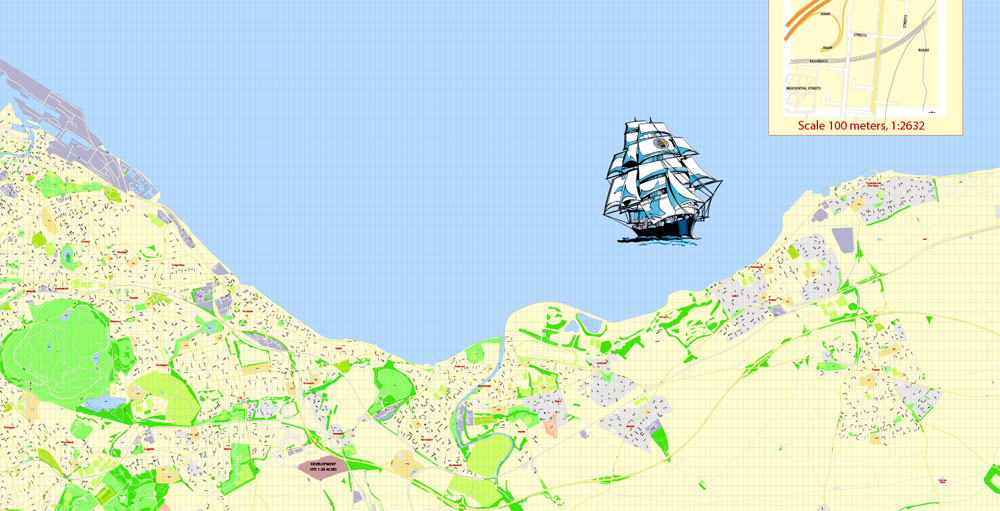
Printable PDF Vector Map Edinburgh Metropolitan Area, Scotland UK, exact detailed City Plan, 100 meters scale map 1:2632, editable Layered Adobe PDF, 51 Mb ZIP.
All streets named, main objects. Map for publishing, design, printing, publications, arts, projects, presentations, for architects, designers and builders, business, logistics. The most exact and detailed map of the city.
Layers: legend, grids, labels_roads, names_places, names_streets, names_objects, objects, arrows_streets, streets_roads, color_fills.
Text format street names
You can edit this file by Adobe Illustrator, Adobe Acrobat, Corel Draw.
DWG, DXF, CDR, ESRI Shapes, and other formats – by request, same price, please contact.
Edinburgh, Scotland.
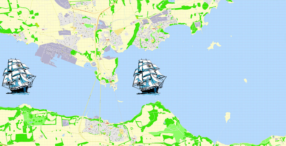
This vector map of Edinburgh city is used as a basis for design, editing, and further printing.
This is the most detailed, exact map of Edinburgh city for high-quality printing and polygraphy. You can always clarify the map development date by contacting us.
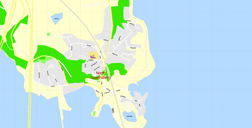
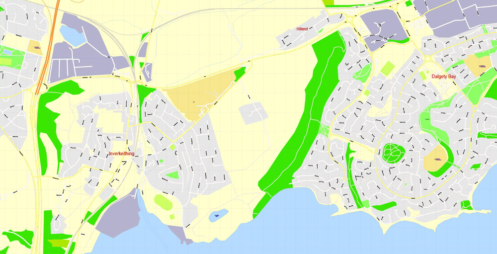
For your convenience, all objects on Edinburgh vector city map are divided into layers. And the editing is very easy – colors, lines, etc.
You can easily add any objects needed (e.g. shops, salons, sale points, gas station or attraction) on any layer of Edinburgh vector map.
Edinburgh is the capital city of Scotland and one of its 32 council areas. Historically part of the county of Midlothian (or Edinburghshire), it is located in Lothian on the Firth of Forth’s southern shore.
Recognised as the capital of Scotland since at least the 15th century, Edinburgh is the seat of the Scottish Government, the Scottish Parliament and the supreme courts of Scotland. The city’s Palace of Holyroodhouse is the official residence of the monarch in Scotland. The city has long been a centre of education, particularly in the fields of medicine, Scots law, literature, the sciences and engineering. It is the second largest financial centre in the United Kingdom (after London) and the city’s historical and cultural attractions have made it the United Kingdom’s second most popular tourist destination (likewise after London), attracting over one million overseas visitors each year.
One of the advantages of Edinburgh city vector maps of our production is the relevance of cartographic data, we constantly update all our products.
This vector map of Edinburgh city is used by:
designers, layout designers, printers, advertisers and architects. Our product – vector maps – is designed for further editing and printing in large formats – from @Wall format (a few meters) to A-0 and A-1, A-2, A-3.
The Edinburgh city map in vector format is used for design, urban planning, presentations and media visualizations.
The advertising and presentation map of Edinburgh city (usually the final designer marks the routes, and puts the client’s objects (shops, saloons, gas stations etc.)
The undoubted advantage is that people will NEVER throw out this advertising product – the map. In fact, as an advertising medium, a city map is the most “long-playing” of the well-known polygraphic advertising media, with the longest lifespan, and the maximum number of interactions with the customer.
Edinburgh is Scotland’s second most populous city and the seventh most populous in the United Kingdom. The official population estimates are 464,990 (2012) for the Locality of Edinburgh (Edinburgh pre 1975 regionalisation plus Currie and Balerno), 513,210 (2017) for the City of Edinburgh, and 1,339,380 (2014) for the city region. Edinburgh lies at the heart of the Edinburgh and South East Scotland city region comprising East Lothian, Edinburgh, Fife, Midlothian, Scottish Borders and West Lothian.
For travelers, maps are sold at the airports and gas stations around the world. Often the source is our vector maps.
Take a look, who purchases our vector maps of Edinburgh city in “Our Clients and Friends” page – these are large and small companies, from super-brands like Volvo and Starbucks, to small design studios and printing houses.
It’s very easy to work with vector maps of Edinburgh city, even for a not very experienced designer who can turn on and off the map layers, add new objects, change the colors of fill and lines according to customer requirements.
The undoubted advantage of Edinburgh city vector maps in printing is an excellent and detailed visualization, when customer can expand a large paper map and instantly define his location, find a landmark, an object or address on map, unlike using the popular electronic formats of Google and Yandex maps for example.
Printable vector maps of Edinburgh city are much more convenient and efficient than any electronic maps on your smartphone, because ALL DETAILS are displayed in the entire space of Edinburgh city map.
Useful tips on working with vector maps of cities and countries in Adobe Illustrator.
«V» – launches the Selection tool (cursor, black arrow), which makes active any vector line.
«А» – launches the Direct Selection tool (white cursor), allows you to select curve elements and drag them to the desired place.
«R» – activates the Rotate tool, which helps you rotating selected objects around the center point by 360 degrees.
«E» – gives you the opportunity to use the Eraser tool and erase unnecessary parts.
«X» – switches between Fill and Stroke in the Tools section. Try to get used to this hot key and
you will quickly understand that you can’t live and work without it.
Guides are not limited to vertical and horizontal in Adobe Illustrator. You can also create a diagonal guide for example. Moreover, you can turn any contours into guides. Select the outline and go to View > Guides > Make Guides (Create Guides), or simply press Cmd/Ctrl + 5. You can also turn the guides back into an editable object. Go to menu, View > Guides > Unlock Guides (Release Guides), select the guide you want to edit and select View > Guides > Release Guides (Reset Guides), or just press Cmd/Ctrl + Option / Alt + 5).
You will probably want to change the color scheme used on our Edinburgh vector city map.
To quickly and effectively play with colors.
Of course, you can do it manually, all objects in our Edinburgh city vector map are divided according to types and layers, and you can easily change the color gamma of vector objects in groups and layers.
The city is the annual venue of the General Assembly of the Church of Scotland. It is home to national institutions such as the National Museum of Scotland, the National Library of Scotland and the Scottish National Gallery. The University of Edinburgh, founded in 1582 and now one of four in the city, is placed 18th in the QS World University Rankings for 2019.
But there is more effective way of working with the whole VECTOR MAP of Edinburgh city and all layers:
The overview dialog «Edit colors»/«Repaint Graphic Object» (this dialog box name can change depending on the context):
If you have selected a part or a layer of Edinburgh city vector map and open the dialog box by clicking the icon in the Control panel, on the Samples palette or the Color Catalog, or if you choose Edit > Edit Colors> Repaint Graphic Object, then the «Repaint Graphic Object» dialog box appears, and you get access to «Assign» and «Edit» tabs.
If a picture or a map fragment is not selected, and you open the dialog box by clicking the icon in the Control panel, on the Samples palette or in the Color Catalog, the «Edit Colors» dialog box appears and you can only access the «Edit» tab.
Regardless of the name at the top of the dialog box, the right-hand side always displays the color group of the current document, as well as two default color groups: Print Color and Grayscale. These color groups can be selected and used any time.
Create and edit color groups of Edinburgh city vector map, and also assign colors using the «Edit Colors»/ а «Repaint Graphic Object» dialog box.
A. Creating and editing of a color group on the «Edit» tab
B. Assigning colors on the «Assign» tab
C. Select a group of colors from the «Color groups» list
The option «Repaint a graphic object» in the lower part of the dialog box allows you to preview the colors on a selected layer of Vector map, or a group of elements, and specify whether its colors will be redefined when the dialog box is closed.

The main areas of the dialog box are:
«Edit»
The «Edit» tab is designed to create a new or edit the existing color groups.
The harmony rules Menu and the Color Wheel are used to conduct experiments with color harmonies. The color wheel shows how colors are related in color harmony, and the color bars allow you to view and manipulate an individual color values. In addition, you can adjust the brightness, add and remove colors, save color groups and view colors on the selected Vector Map of Edinburgh city or a separated layers.
«Assign»
The «Assign» tab is used to view and control on how the original colors are replaced with colors from the color group like your corporate colors in the Vector Map of Edinburgh city.
The assign color ability is provided only if the entire map, layer or fragment is selected in the document. You can specify which of new colors replace the current colors, whether the spot colors should be preserved and how colors are replaced (for example, you can replace colors completely or changing the color tone while maintaining the brightness). The «Assign» tab allows you to redefine colors in the Vector Map of Edinburgh city, or in separate layers and fragments using the current color group or reducing the number of colors in the current Vector Map.
Color groups
Is a list of all saved color groups for current document (the same groups appear in the «Samples» palette). You can edit and delete the existing color groups, as well as creating a new ones using the list of “Color Groups” in the dialog box. All changes appear in the «Samples» palette.
The highlighted color group shows, which color group is currently edited.
Any color group can be selected and edited, or used to redefine the colors in the selected vector map of Edinburgh city, its fragments or elements.
Saving a color group adds this group to the specified list.
Opening the «Edit Colors»/«Repaint Graphic Object» dialog box.
Open the «Edit Colors»/«Repaint Graphic Object» dialog box using one of the following methods:
«Edit»> «Edit Colors»> «Repaint Graphic object» or «Repaint With Style».
Use these commands if you need to edit the colors in the selected vector map of Edinburgh city.
«Repaint Graphic object» button on the «Control» panel.
Use this button if you need to adjust colors of Edinburgh city vector map using the а «Repaint graphic object» dialog box.
The city is also famous for the Edinburgh International Festival and the Fringe, the latter being the world’s largest annual international arts festival. Historic sites in Edinburgh include Edinburgh Castle, the Palace of Holyroodhouse, the churches of St. Giles, Greyfriars and the Canongate, and the extensive Georgian New Town, built in the 18th/19th centuries. Edinburgh’s Old Town and New Town together are listed as a UNESCO World Heritage site, which has been managed by Edinburgh World Heritage since 1999.
The specified button is available if the selected vector map or its fragment contains two or more colors.
Note. This color editing method is convenient for global color adjustment in a vector map, if global colors were not used when creating a City Map of Edinburgh.
The «Edit colors» button or «Edit or apply colors» on the «Color Catalog» palette
Click this button if you need to edit colors on the «Color Catalog» palette or edit and then apply them to the selected Vector Map of Edinburgh city or its fragment.
The «Edit color group» button or «Edit or apply color group» on the «Samples» palette.
Click this button if you need to edit the colors in the specific color group or edit and apply them to the selected Vector Map of Edinburgh city or a group of its elements, for example, the whole layer “Streets and lines”. You can also double-click the color group in the Samples panel to open the dialog box.
If the map file is too large and your computer freezes or even can’t open it quickly:
1. Try to reduce the color resolution of the video card (display) to 256 colors while working with a large map.
2. Using Windows Task Manager, select all the application you don’t need, while working with map, just turn them off.
3. Launch Adobe Illustrator. (DO NOT OPEN the vector map file)
4. Start the Windows Task Manager using administrator rights > Find the “Illustrator” process > set the «real time» priority,
5. Open the file. When you see the LEGACY FONT popup window – click “OK” (do not update). You can restore the TEXT later.
6. Can also be useful: When file is opened – Edit > Settings > Basic Settings > disable smoothing. /// It looks scary, but works quickly)))
We recommend saving the file in Adobe Illustrator 10 version. It’s much more stable when working with VERY BIG size files.
Geography
Cityscape
Situated in Scotland’s Central Belt, Edinburgh lies on the Firth of Forth’s southern shore. The city centre is 2 1⁄2 miles (4.0 km) southwest of the shoreline of Leith and 26 miles (42 km) inland, as the crow flies, from the east coast of Scotland and the North Sea at Dunbar. While the early burgh grew up near the prominent Castle Rock, the modern city is often said to be built on seven hills, namely Calton Hill, Corstorphine Hill, Craiglockhart Hill, Braid Hill, Blackford Hill, Arthur’s Seat and the Castle Rock, giving rise to allusions to the seven hills of Rome.
Occupying a narrow gap between the Firth of Forth to the north and the Pentland Hills and their outrunners to the south, the city sprawls over a landscape which is the product of early volcanic activity and later periods of intensive glaciation. Igneous activity between 350 and 400 million years ago, coupled with faulting, led to the creation of tough basalt volcanic plugs, which predominate over much of the area. One such example is the Castle Rock which forced the advancing icesheet to divide, sheltering the softer rock and forming a 1-mile-long (1.6 km) tail of material to the east, thus creating a distinctive crag and tail formation.
Glacial erosion on the north side of the crag gouged a deep valley later filled by the now drained Nor Loch. These features, along with another hollow on the rock’s south side, formed an ideal natural strongpoint upon which Edinburgh Castle was built. Similarly, Arthur’s Seat is the remains of a volcano dating from the Carboniferous period, which was eroded by a glacier moving west to east during the ice age. Erosive action such as plucking and abrasion exposed the rocky crags to the west before leaving a tail of deposited glacial material swept to the east. This process formed the distinctive Salisbury Crags, a series of teschenite cliffs between Arthur’s Seat and the location of the early burgh. The residential areas of Marchmont and Bruntsfield are built along a series of drumlin ridges south of the city centre, which were deposited as the glacier receded.
Other prominent landforms such as Calton Hill and Corstorphine Hill are also products of glacial erosion. The Braid Hills and Blackford Hill are a series of small summits to the city’s south west that command expansive views looking northwards over the urban area to the Forth.

Edinburgh
Capital of Scotland
Edinburgh is Scotland’s compact, hilly capital. It has a medieval Old Town and elegant Georgian New Town with gardens and neoclassical buildings. Looming over the city is Edinburgh Castle, home to Scotland’s crown jewels and the Stone of Destiny, used in the coronation of Scottish rulers. Arthur’s Seat is an imposing peak in Holyrood Park with sweeping views, and Calton Hill is topped with monuments and memorials.
Area
• City and council area 264 km2 (102 sq mi)
Elevation 47 m (154 ft)
Population
• City and council area 464,990 – Locality 507,170 – Local Authority Area
• Density 1,828/km2 (4,730/sq mi)
• Metro 1,339,380 – Edinburgh & South East Scotland City Region
Free vector maps:

Free download printable map Europe vector Adobe Illustrator >>>
Free download printable PDF map Europe vector Adobe PDF >>>

 Author: Kirill Shrayber, Ph.D. FRGS


