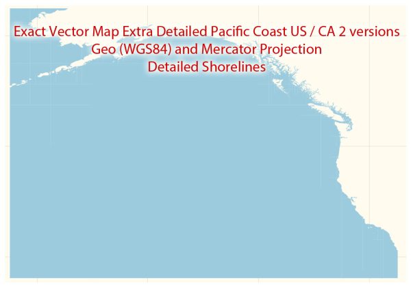
Extended Description of the Vector Map
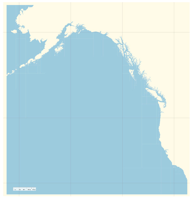
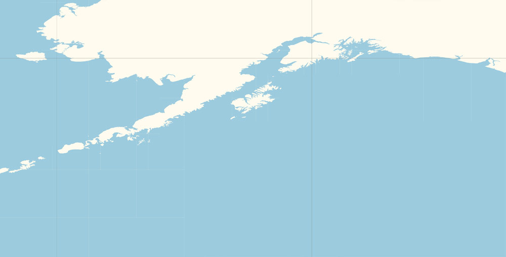
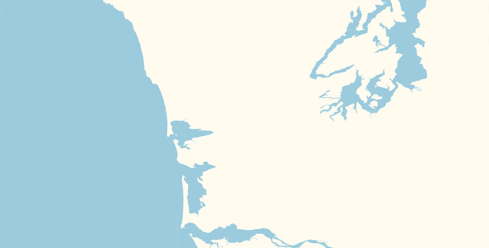
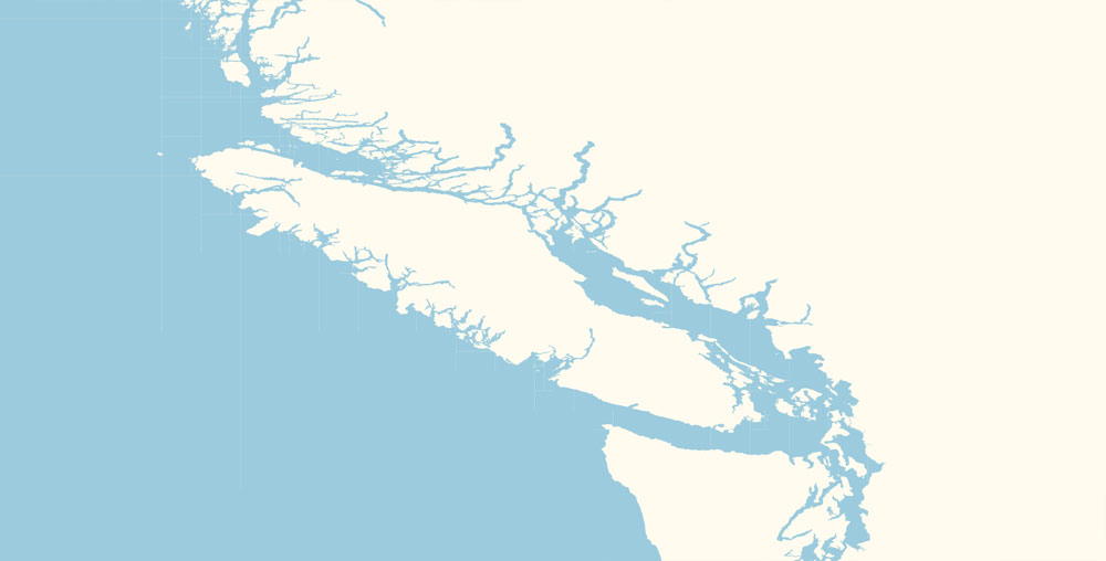
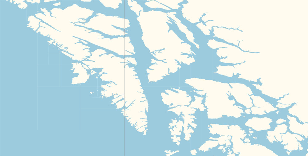
Printable Editable PDF Vector Map Pacific Coast US / CA Extra detailed Adobe PDF in layers , scalable, 51 mb ZIP
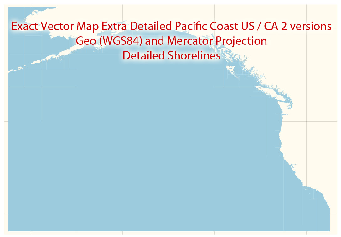
2 MAPS IN ONE ARCHIVE IN DIFFERENT PROJECTIONS – Mercator and GEO WGS84 Map for design, printing, arts, projects, presentations, for architects, designers and builders, business, logistics.
Layers: back, sea, grids
The most exact and detailed map coastlines US
For Editing and High Quality Printing
DWG, DXF and other formats – on request, same price, please, contact
Free US vector maps
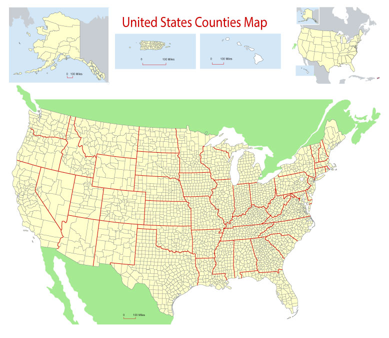
Free Download Vector Map US County and State Adobe Illustrator
Free_Vector_Map_US_States_County_Map.ai
Free Download Vector Map US County and State Adobe PDF
Free_Vector_Map_US_States_County_Map.pdf
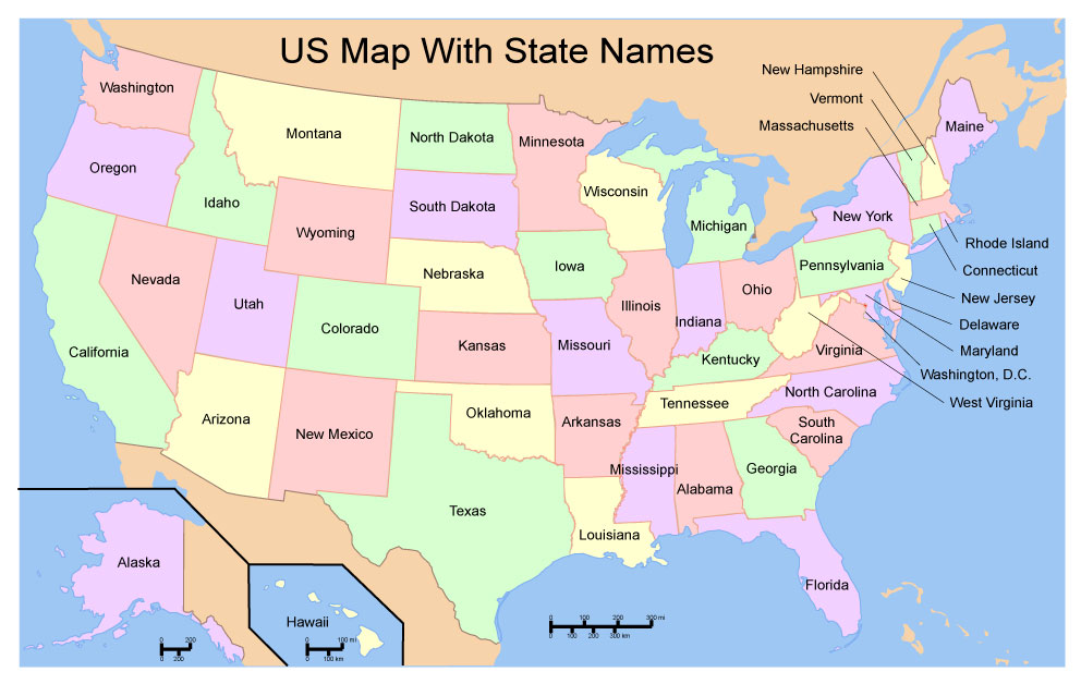
Free Download Vector Map US With States Names, Adobe Illustrator
Free_Map_of_USA_with_state_names_en.ai
Free Download Vector Map US With States Names, Adobe PDF
Free_Map_of_USA_with_state_names_en.pdf
From WIKI
Free vector map World, Adobe Illustrator, download now maps vector clipart
Map for design, projects, presentation free to use as you like.
See also: TERMS & CONDITIONS: SOFTWARE LICENSE AGREEMENT FOR DIGITAL CARTOGRAPHIC DATA.
Need more USA Vector Maps, printable and editable?
Author Rating
Aggregate Rating
no rating based on 0 votes
@vectormapper
Product Name Pacific Coast US / Ca PDF Map Extra detailed in layers Printable Editable Vector Adobe PDF
Price
USD 24
Product Availability
Available in Stock




 Author: Kirill Shrayber, Ph.D. FRGS