Extended Description of the Vector Map
Printable Vector Map of Ohrid North Macedonia + surrounds High detailed street map scale 1:3452 fully editable Layered Adobe Illustrator scalable, text format all names, 4 MB ZIP
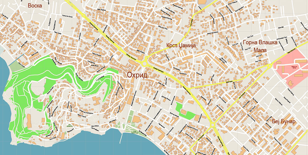
All street names, Main Objects, Buildings. Map for design, printing, arts, projects, presentations, for architects, designers, and builders, business, logistics.
Note: All layers in the preview are enabled and displayed, you may not need all layers – just disable the layers you don’t need.
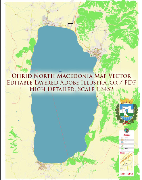
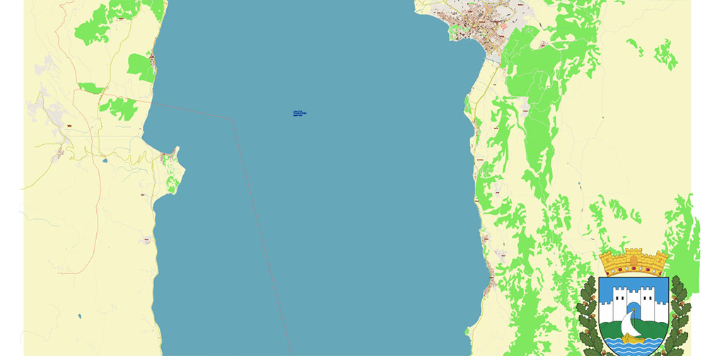
Ohrid North Macedonia Vector Map high detailed All Roads Streets map editable Layered Adobe Illustrator
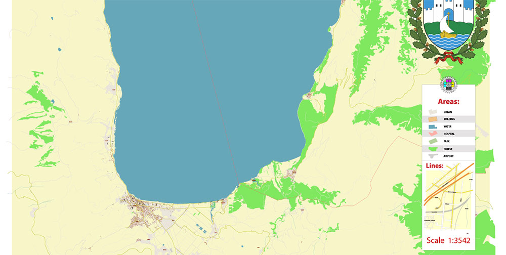
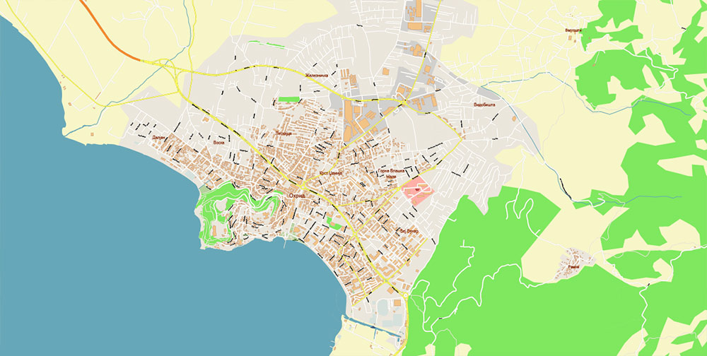
Layers list:
- Legend
- Labels of roads
- Names of places (city, hamlet, etc.)
- Names of objects (parks, hospitals, water)
- Names of main streets
- Names of civil streets
- Arrows of streets
- Main Streets, roads
- Residential streets
- Buildings
- Water objects (rivers, lakes, ponds)
- Waterways
- Color fills (parks, land use, etc.)
- Background
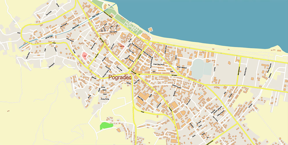
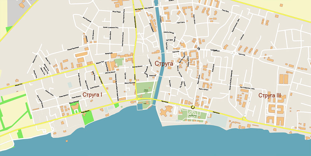
The most exact and detailed map of the city in scale.
For Editing and High-Quality Printing
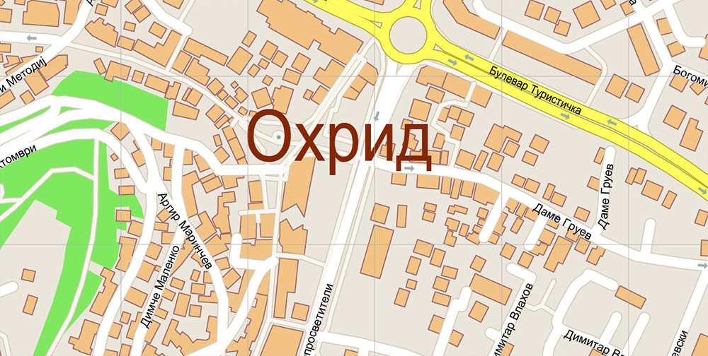
Ohrid North Macedonia Vector Map high detailed All Roads Streets map editable Layered Adobe Illustrator
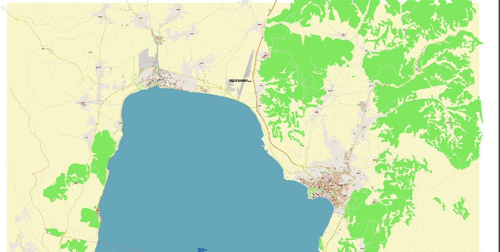
Ohrid North Macedonia Vector Map high detailed All Roads Streets map editable Layered Adobe Illustrator
Ohrid North Macedonia Vector Map high detailed All Roads Streets map editable Layered Adobe Illustrator
Ohrid North Macedonia Vector Map high detailed All Roads Streets map editable Layered Adobe Illustrator
Ohrid North Macedonia Vector Map high detailed All Roads Streets map editable Layered Adobe Illustrator
Ohrid North Macedonia Vector Map high detailed All Roads Streets map editable Layered Adobe Illustrator
Ohrid North Macedonia Vector Map high detailed All Roads Streets map editable Layered Adobe Illustrator
Ohrid North Macedonia Vector Map high detailed All Roads Streets map editable Layered Adobe Illustrator

 Author: Kirill Shrayber, Ph.D. FRGS