North Dakota – a state where buffaloes and bison still roam, is located in the north-central part of the United States. The word “Dakota” recalls the native Americans, the first settlers, and the Wild West – wild and romantic. And for good reason – the word Indian, translated from the language of the Sioux tribe, who lived in this territory before the arrival of Europeans, means “friend”. So the unofficial name of North Dakota is “Sioux State”. However, there is another nickname — “The State of the ground squirrel”.
North Dakota is home to about 680,000 people (most of whom are from Germany and Norway) on 183,000 square kilometers. That is, the population density is just over 3 people per square kilometer — which is quite sparsely populated, the state is sparsely populated.
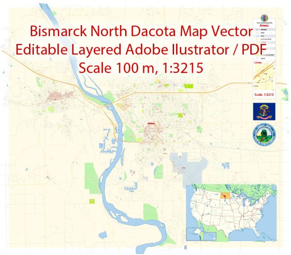
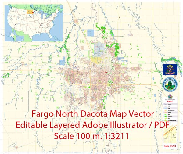
The capital is Bismarck, with more people living in Fargo than in the capital. The other two major cities in North Dakota are Grand Forks and Minot.
The climate of North Dakota is sharply continental, anyone who has been to Siberia will understand. This means that in summer it is hot (+49 °C-absolute maximum), in winter it is cold (-51.1 °C — absolute minimum). But that’s the beauty of this state — pronounced seasons can be used to the fullest. In winter — you can go skiing, dog sledding, ice skating, snowshoeing, ice fishing, and snowmobiling. In summer-hunting, fishing (for example, perch, walleye, and pike), mountain biking, camping, hiking, and walking in forests and nature reserves. In the off-season, there is also something to do, for example, to study the history of the West in museums and national parks.
Another feature of the North Dakota climate is flooding, in the spring the Red River Valley, which separates North Dakota from Minnesota, often floods. By the way, this valley, Red River Valley, is the heroine of the eponymous folk cowboy song.
Theodore Roosevelt National Park
The magnificent Theodore Roosevelt National Park (the 26th President of the United States) is located in southwestern North Dakota. The park is so large that there are two time zones running through its territory: in the southern part, the time is an hour behind the northern one.
A small digression into history — in 1884, Theodore Roosevelt had a misfortune, he buried his wife and mother (who died in different places, but on the same day). The way he recovered from this blow was to retire from politics to live the quiet life of a farmer on the remote Elkhorn Ranch in North Dakota. He lived there for two years, recovered from the loss, returned to politics (and even remarried), drawing life force from the vast plains of the west. After his death, in the 30-40s, the US authorities began to develop the territory of North Dakota to create a reserve.
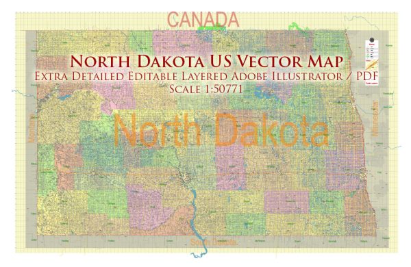
Printable PDF Vector Map of North Dakota Full State US: All Streets and Roads + counties areas + zip-codes areas + all airports and heliports, fully editable Adobe PDF Map in layers, scalable, 190 MB ZIP
Scale: 1:50771
All streets and roads, Names of Principal streets, All Cities and Towns, Counties, All Geonames, airports, and heliports. Map for design, printing, arts, projects, presentations, for architects, designers, and builders, business, logistics.
NOTE! All objects are located on separate layers by type. The preview shows all layers together. When you work with this map, just turn off or delete those layers that are not needed for your project.
For Editing and High-Quality Printing, Royalty free
Need AutoCAD DWG / DXF, CDR, or any other format? Please, contact us!
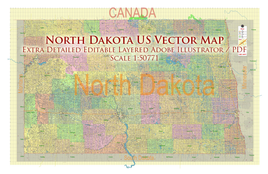
North Dakota US PDF Vector Map: Exact State Plan High Detailed Road Map + Counties + Zipcodes + Airports editable Adobe PDF in layers
Layers list:
- Legend
- Grids
- Labels of roads (numbers) – highways, interstate
- All Geonames (cities, towns, villages, hamlets, islands)
- Points of the Geonames (cities, towns, villages, hamlets, islands)
- Names places: Names of all Cities, towns, villages and hamlets
- Names of the Airports and Heliports
- Points of the Airports and Heliports
- Numbers of ZIP codes
- Names of objects (water, park, hospital)
- Names of States
- Names of Counties
- Names of the Main Streets
- Major Roads and Streets – Highways
- Minor Roads and residential streets
- Railroads
- State boundaries
- Water objects (rivers, lakes, ponds, swamps, reefs)
- Waterways
- Ground objects (urban areas, parks, hospitals, etc.)
- ZIP-codes areas
- Counties areas (colored)
- States areas
- Background
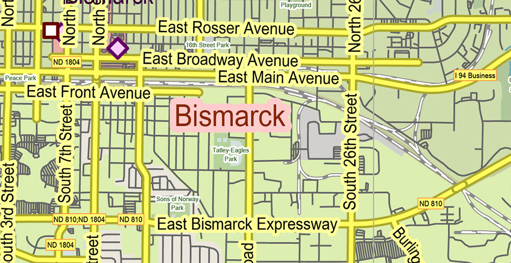
North Dakota US PDF Vector Map: Exact State Plan High Detailed Road Map + Counties + Zipcodes + Airports editable Adobe PDF in layers
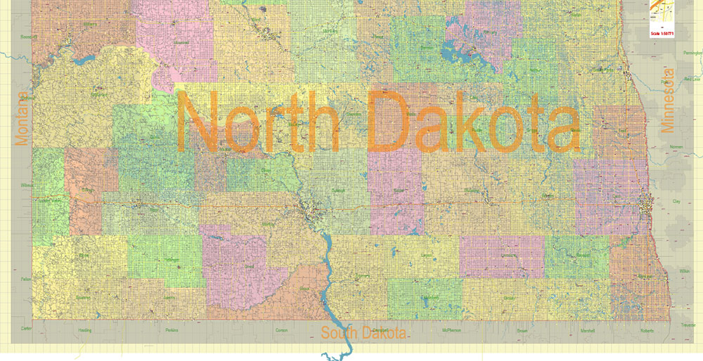
North Dakota US PDF Vector Map: Exact State Plan High Detailed Road Map + Counties + Zipcodes + Airports editable Adobe PDF in layers
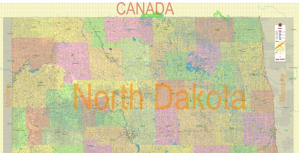
North Dakota US PDF Vector Map: Exact State Plan High Detailed Road Map + Counties + Zipcodes + Airports editable Adobe PDF in layers
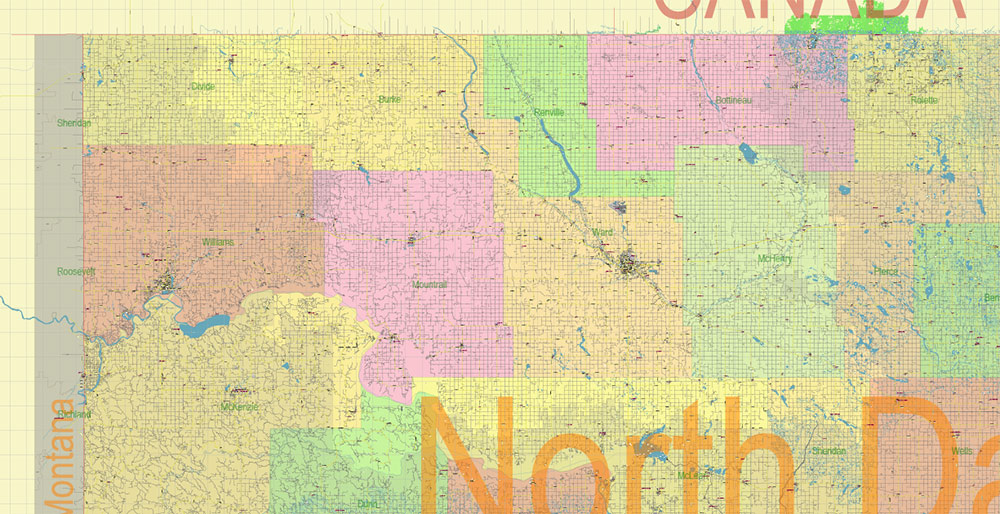
North Dakota US PDF Vector Map: Exact State Plan High Detailed Road Map + Counties + Zipcodes + Airports editable Adobe PDF in layers

North Dakota US PDF Vector Map: Exact State Plan High Detailed Road Map + Counties + Zipcodes + Airports editable Adobe PDF in layers
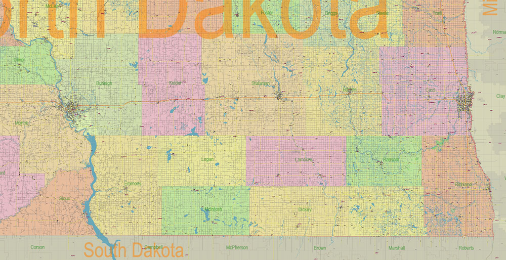
North Dakota US PDF Vector Map: Exact State Plan High Detailed Road Map + Counties + Zipcodes + Airports editable Adobe PDF in layers
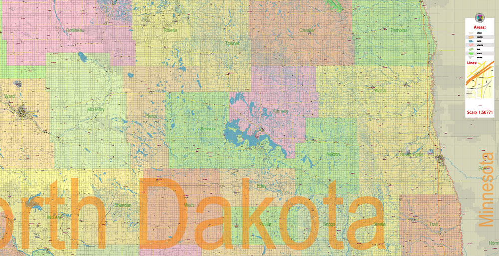
North Dakota US PDF Vector Map: Exact State Plan High Detailed Road Map + Counties + Zipcodes + Airports editable Adobe PDF in layers
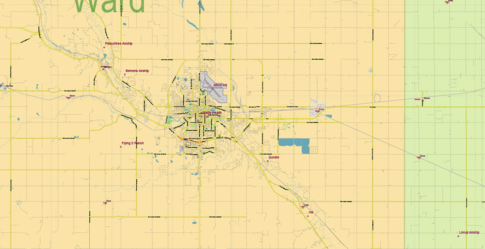
North Dakota US PDF Vector Map: Exact State Plan High Detailed Road Map + Counties + Zipcodes + Airports editable Adobe PDF in layers
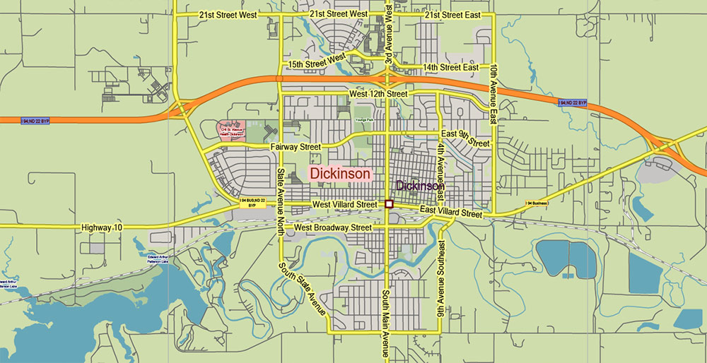
North Dakota US PDF Vector Map: Exact State Plan High Detailed Road Map + Counties + Zipcodes + Airports editable Adobe PDF in layers
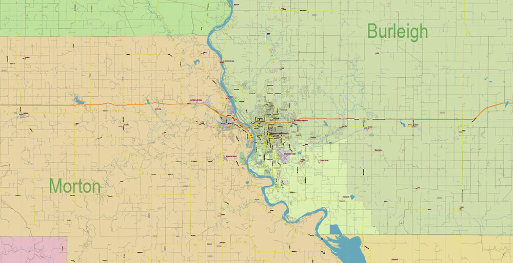
North Dakota US PDF Vector Map: Exact State Plan High Detailed Road Map + Counties + Zipcodes + Airports editable Adobe PDF in layers
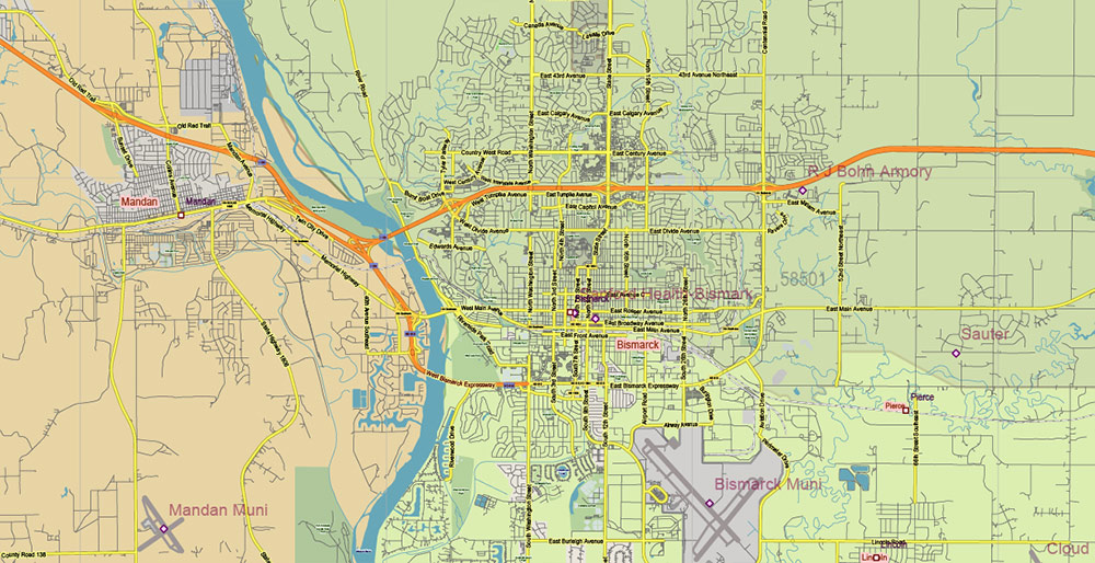
North Dakota US PDF Vector Map: Exact State Plan High Detailed Road Map + Counties + Zipcodes + Airports editable Adobe PDF in layers
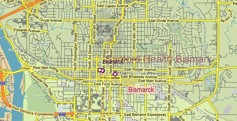
North Dakota US PDF Vector Map: Exact State Plan High Detailed Road Map + Counties + Zipcodes + Airports editable Adobe PDF in layers
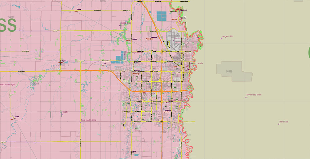
North Dakota US PDF Vector Map: Exact State Plan High Detailed Road Map + Counties + Zipcodes + Airports editable Adobe PDF in layers
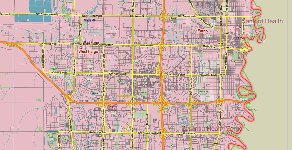
North Dakota US PDF Vector Map: Exact State Plan High Detailed Road Map + Counties + Zipcodes + Airports editable Adobe PDF in layers
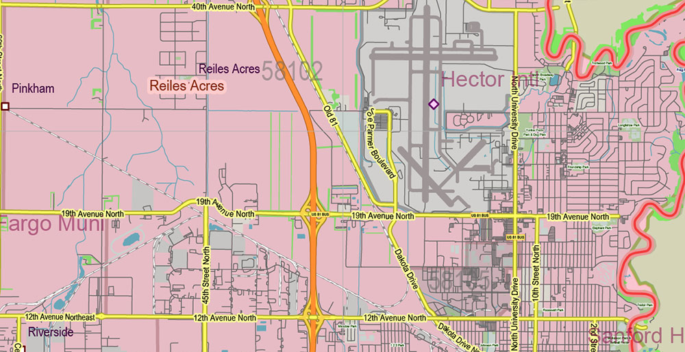
North Dakota US PDF Vector Map: Exact State Plan High Detailed Road Map + Counties + Zipcodes + Airports editable Adobe PDF in layers
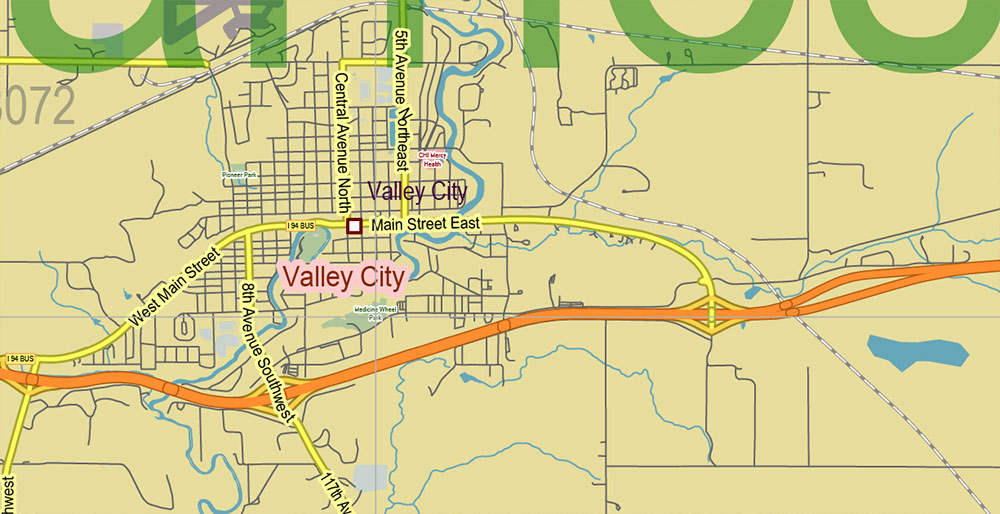
North Dakota US PDF Vector Map: Exact State Plan High Detailed Road Map + Counties + Zipcodes + Airports editable Adobe PDF in layers
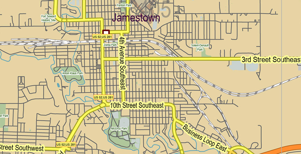
North Dakota US PDF Vector Map: Exact State Plan High Detailed Road Map + Counties + Zipcodes + Airports editable Adobe PDF in layers
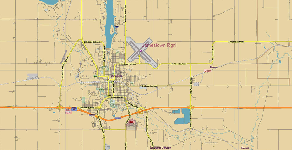
North Dakota US PDF Vector Map: Exact State Plan High Detailed Road Map + Counties + Zipcodes + Airports editable Adobe PDF in layers


 Author: Kirill Shrayber, Ph.D. FRGS