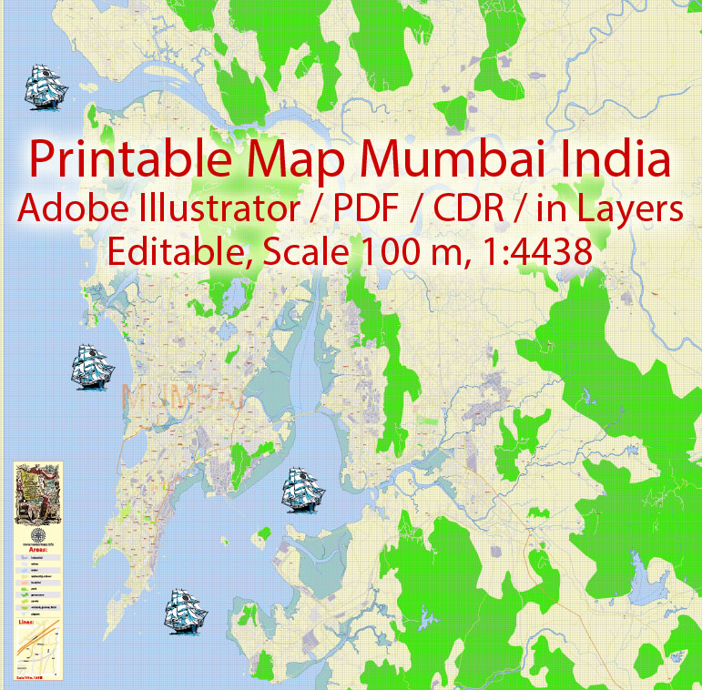
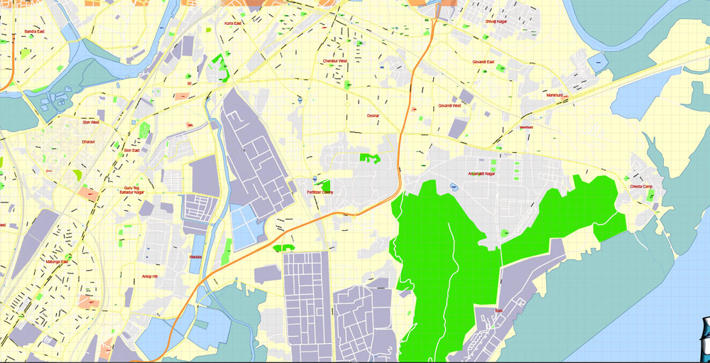
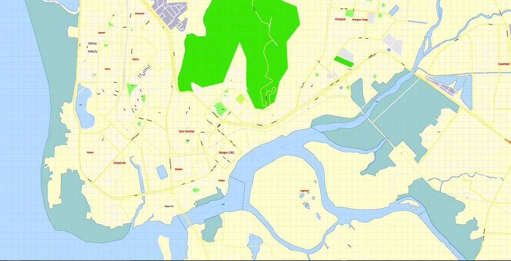
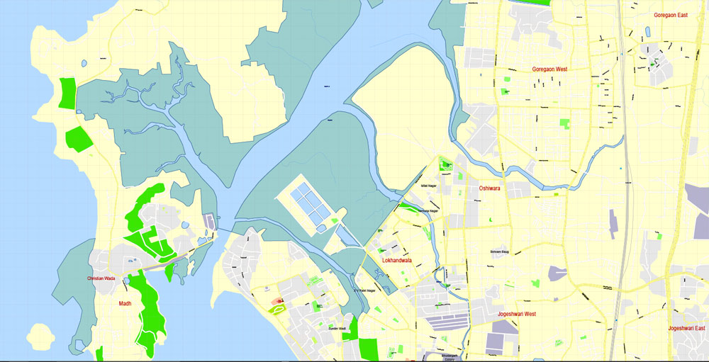
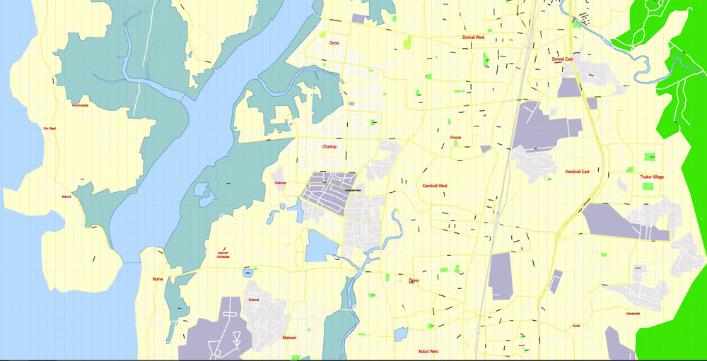
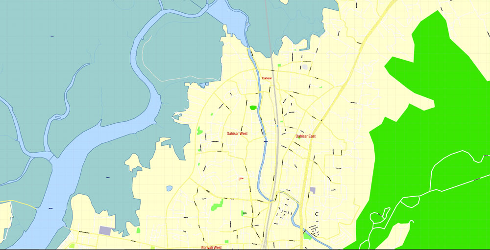
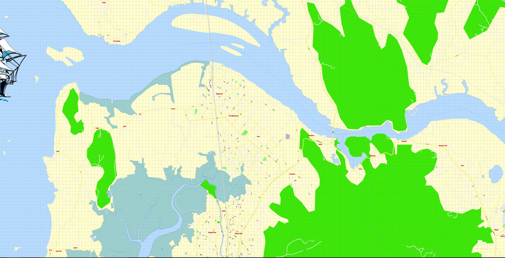
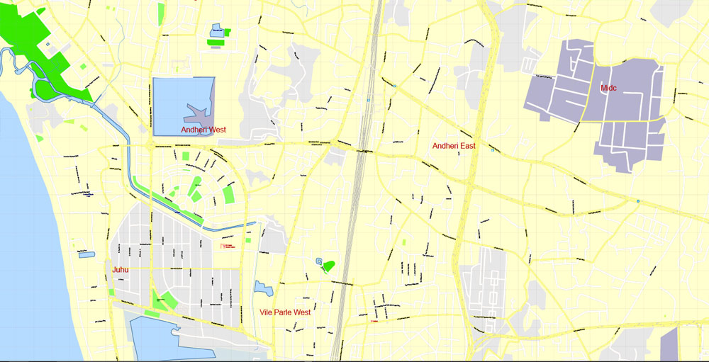
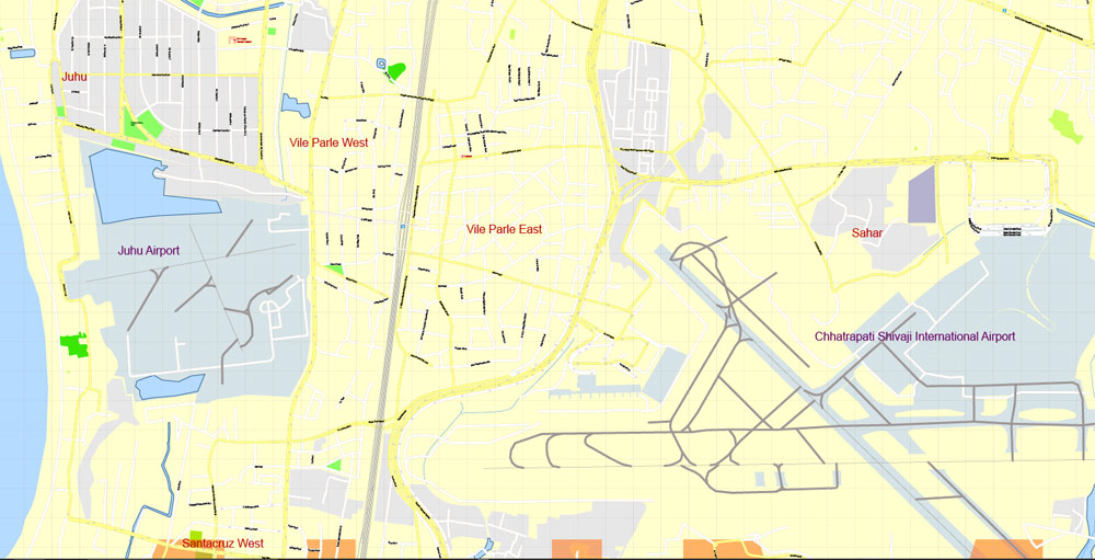
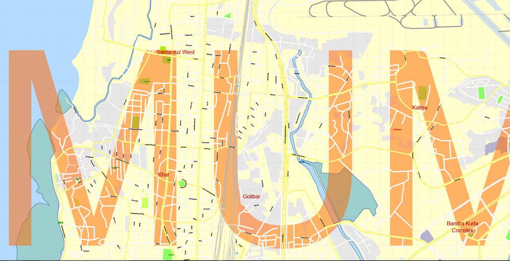
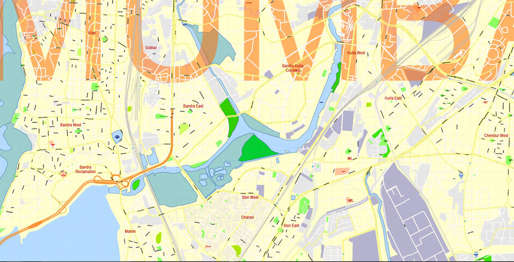
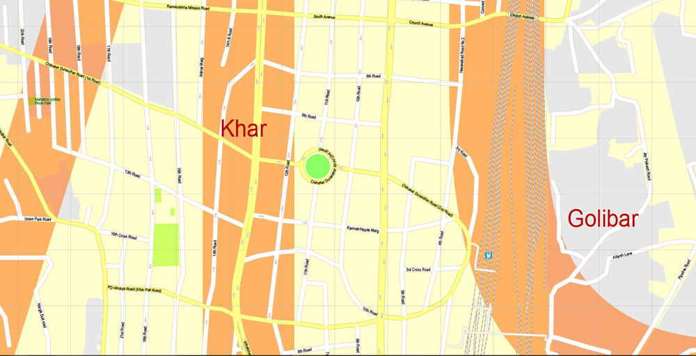
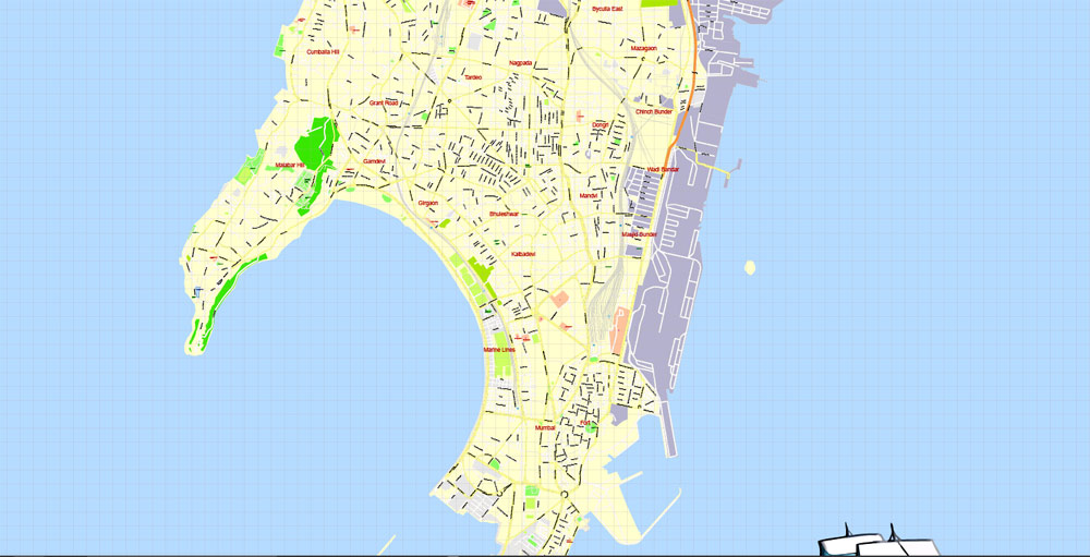
Printable PDF Vector Map Mumbai India, exact detailed City Plan, Scale 1:4438, editable Layered Adobe PDF Street Map, 34 Mb ZIP.
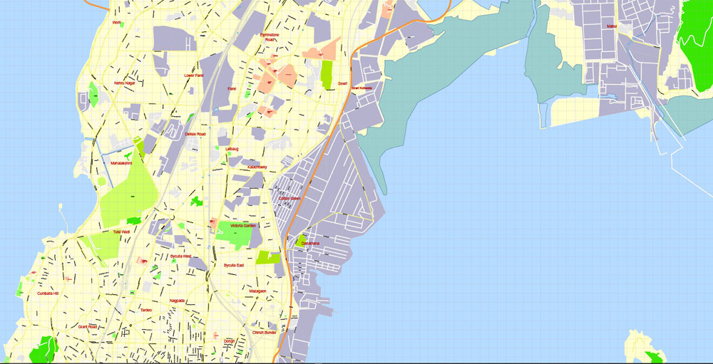
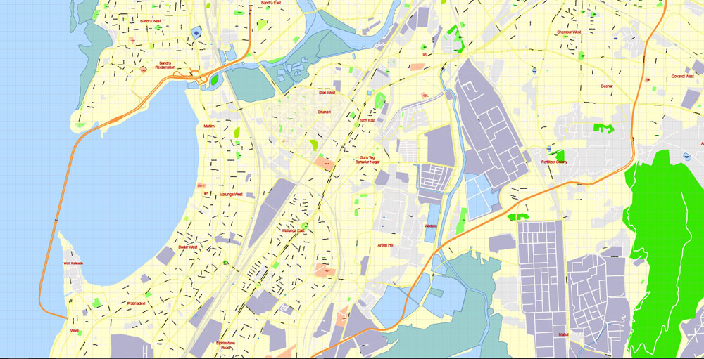
All streets named, main objects. Map for publishing, design, printing, publications, arts, projects, presentations, for architects, designers and builders, business, logistics. The most exact and detailed map of the city.
Layers: legend, grids, labels_roads, names_places, names_streets, names_objects, objects, arrows_streets, streets_roads, color_fills, etc.
Text format all names, For High Quality Printing
DWG, DXF, CDR, ESRI Shapes, and other formats – by request, same price, please contact.
Mumbai, India.
This vector map of Mumbai city is used as a basis for design, editing, and further printing.
This is the most detailed, exact map of Mumbai city for high-quality printing and polygraphy. You can always clarify the map development date by contacting us.
For your convenience, all objects on Mumbai vector city map are divided into layers. And the editing is very easy – colors, lines, etc.
You can easily add any objects needed (e.g. shops, salons, sale points, gas station or attraction) on any layer of Mumbai vector map.
Mumbai is the capital city of the Indian state of Maharashtra. It is the most populous city in India with an estimated city proper population of 12.4 million as of 2011. Along with the neighbouring regions of the Mumbai Metropolitan Region, it is the second most populous metropolitan area in India, with a population of 21.3 million as of 2016.
One of the advantages of Mumbai city vector maps of our production is the relevance of cartographic data, we constantly update all our products.
This vector map of Mumbai city is used by:
designers, layout designers, printers, advertisers and architects. Our product – vector maps – is designed for further editing and printing in large formats – from @Wall format (a few meters) to A-0 and A-1, A-2, A-3.
The Mumbai city map in vector format is used for design, urban planning, presentations and media visualizations.
The advertising and presentation map of Mumbai city (usually the final designer marks the routes, and puts the client’s objects (shops, saloons, gas stations etc.)
The undoubted advantage is that people will NEVER throw out this advertising product – the map. In fact, as an advertising medium, a city map is the most “long-playing” of the well-known polygraphic advertising media, with the longest lifespan, and the maximum number of interactions with the customer.
For travelers, maps are sold at the airports and gas stations around the world. Often the source is our vector maps.
Take a look, who purchases our vector maps of Mumbai city in “Our Clients and Friends” page – these are large and small companies, from super-brands like Volvo and Starbucks, to small design studios and printing houses.
It’s very easy to work with vector maps of Mumbai city, even for a not very experienced designer who can turn on and off the map layers, add new objects, change the colors of fill and lines according to customer requirements.
The undoubted advantage of Mumbai city vector maps in printing is an excellent and detailed visualization, when customer can expand a large paper map and instantly define his location, find a landmark, an object or address on map, unlike using the popular electronic formats of Google and Yandex maps for example.
Mumbai lies on the Konkan coast on the west coast of India and has a deep natural harbour. In 2008, Mumbai was named an alpha world city. It is also the wealthiest city in India, and has the highest number of millionaires and billionaires among all cities in India. Mumbai is home to three UNESCO World Heritage Sites: the Elephanta Caves, Chhatrapati Shivaji Maharaj Terminus, and the city’s distinctive ensemble of Victorian and Art Deco buildings.
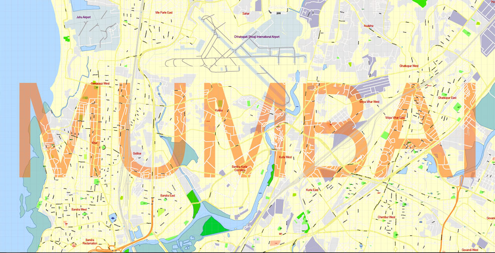
Printable vector maps of Mumbai city are much more convenient and efficient than any electronic maps on your smartphone, because ALL DETAILS are displayed in the entire space of Mumbai city map.
Useful tips on working with vector maps of cities and countries in Adobe Illustrator.
«V» – launches the Selection tool (cursor, black arrow), which makes active any vector line.
«А» – launches the Direct Selection tool (white cursor), allows you to select curve elements and drag them to the desired place.
«R» – activates the Rotate tool, which helps you rotating selected objects around the center point by 360 degrees.
«E» – gives you the opportunity to use the Eraser tool and erase unnecessary parts.
«X» – switches between Fill and Stroke in the Tools section. Try to get used to this hot key and
you will quickly understand that you can’t live and work without it.
The seven islands that constitute Mumbai were originally home to communities of Koli people, who originated in Gujarat in prehistoric times. For centuries, the islands were under the control of successive indigenous empires before being ceded to the Portuguese Empire and subsequently to the East India Company when in 1661 Charles II of England married Catherine of Braganza and as part of her dowry Charles received the ports of Tangier and Seven Islands of Bombay. During the mid-18th century, Bombay was reshaped by the Hornby Vellard project, which undertook reclamation of the area between the seven islands from the sea.
Guides are not limited to vertical and horizontal in Adobe Illustrator. You can also create a diagonal guide for example. Moreover, you can turn any contours into guides. Select the outline and go to View > Guides > Make Guides (Create Guides), or simply press Cmd/Ctrl + 5. You can also turn the guides back into an editable object. Go to menu, View > Guides > Unlock Guides (Release Guides), select the guide you want to edit and select View > Guides > Release Guides (Reset Guides), or just press Cmd/Ctrl + Option / Alt + 5).
You will probably want to change the color scheme used on our Mumbai vector city map.
To quickly and effectively play with colors.
Of course, you can do it manually, all objects in our Mumbai city vector map are divided according to types and layers, and you can easily change the color gamma of vector objects in groups and layers.
But there is more effective way of working with the whole VECTOR MAP of Mumbai city and all layers:
The overview dialog «Edit colors»/«Repaint Graphic Object» (this dialog box name can change depending on the context):
If you have selected a part or a layer of Mumbai city vector map and open the dialog box by clicking the icon in the Control panel, on the Samples palette or the Color Catalog, or if you choose Edit > Edit Colors> Repaint Graphic Object, then the «Repaint Graphic Object» dialog box appears, and you get access to «Assign» and «Edit» tabs.
If a picture or a map fragment is not selected, and you open the dialog box by clicking the icon in the Control panel, on the Samples palette or in the Color Catalog, the «Edit Colors» dialog box appears and you can only access the «Edit» tab.
Regardless of the name at the top of the dialog box, the right-hand side always displays the color group of the current document, as well as two default color groups: Print Color and Grayscale. These color groups can be selected and used any time.
Create and edit color groups of Mumbai city vector map, and also assign colors using the «Edit Colors»/ а «Repaint Graphic Object» dialog box.
A. Creating and editing of a color group on the «Edit» tab
B. Assigning colors on the «Assign» tab
C. Select a group of colors from the «Color groups» list
The option «Repaint a graphic object» in the lower part of the dialog box allows you to preview the colors on a selected layer of Vector map, or a group of elements, and specify whether its colors will be redefined when the dialog box is closed.
Along with construction of major roads and railways, the reclamation project, completed in 1845, transformed Bombay into a major seaport on the Arabian Sea. Bombay in the 19th century was characterised by economic and educational development. During the early 20th century it became a strong base for the Indian independence movement. Upon India’s independence in 1947 the city was incorporated into Bombay State. In 1960, following the Samyukta Maharashtra Movement, a new state of Maharashtra was created with Bombay as the capital.

The main areas of the dialog box are:
«Edit»
The «Edit» tab is designed to create a new or edit the existing color groups.
The harmony rules Menu and the Color Wheel are used to conduct experiments with color harmonies. The color wheel shows how colors are related in color harmony, and the color bars allow you to view and manipulate an individual color values. In addition, you can adjust the brightness, add and remove colors, save color groups and view colors on the selected Vector Map of Mumbai city or a separated layers.
«Assign»
The «Assign» tab is used to view and control on how the original colors are replaced with colors from the color group like your corporate colors in the Vector Map of Mumbai city.
The assign color ability is provided only if the entire map, layer or fragment is selected in the document. You can specify which of new colors replace the current colors, whether the spot colors should be preserved and how colors are replaced (for example, you can replace colors completely or changing the color tone while maintaining the brightness). The «Assign» tab allows you to redefine colors in the Vector Map of Mumbai city, or in separate layers and fragments using the current color group or reducing the number of colors in the current Vector Map.
Color groups
Is a list of all saved color groups for current document (the same groups appear in the «Samples» palette). You can edit and delete the existing color groups, as well as creating a new ones using the list of “Color Groups” in the dialog box. All changes appear in the «Samples» palette.
The highlighted color group shows, which color group is currently edited.
Any color group can be selected and edited, or used to redefine the colors in the selected vector map of Mumbai city, its fragments or elements.
Saving a color group adds this group to the specified list.
Opening the «Edit Colors»/«Repaint Graphic Object» dialog box.
Open the «Edit Colors»/«Repaint Graphic Object» dialog box using one of the following methods:
«Edit»> «Edit Colors»> «Repaint Graphic object» or «Repaint With Style».
Use these commands if you need to edit the colors in the selected vector map of Mumbai city.
«Repaint Graphic object» button on the «Control» panel.
Use this button if you need to adjust colors of Mumbai city vector map using the а «Repaint graphic object» dialog box.
Mumbai is the financial, commercial and entertainment capital of India. It is also one of the world’s top ten centres of commerce in terms of global financial flow, generating 6.16% of India’s GDP and accounting for 25% of industrial output, 70% of maritime trade in India (Mumbai Port Trust and JNPT), and 70% of capital transactions to India’s economy.
The specified button is available if the selected vector map or its fragment contains two or more colors.
Note. This color editing method is convenient for global color adjustment in a vector map, if global colors were not used when creating a City Map of Mumbai.
The «Edit colors» button or «Edit or apply colors» on the «Color Catalog» palette
Click this button if you need to edit colors on the «Color Catalog» palette or edit and then apply them to the selected Vector Map of Mumbai city or its fragment.
The «Edit color group» button or «Edit or apply color group» on the «Samples» palette.
The city houses important financial institutions such as the Reserve Bank of India, the Bombay Stock Exchange, the National Stock Exchange of India, the SEBI and the corporate headquarters of numerous Indian companies and multinational corporations. It is also home to some of India’s premier scientific and nuclear institutes like Bhabha Atomic Research Centre, Nuclear Power Corporation of India, Indian Rare Earths, Tata Institute of Fundamental Research, Atomic Energy Regulatory Board, Atomic Energy Commission of India, and the Department of Atomic Energy. The city also houses India’s Hindi (Bollywood) and Marathi cinema industries. Mumbai’s business opportunities, as well as its potential to offer a higher standard of living, attract migrants from all over India, making the city a melting pot of many communities and cultures.

Click this button if you need to edit the colors in the specific color group or edit and apply them to the selected Vector Map of Mumbai city or a group of its elements, for example, the whole layer “Streets and lines”. You can also double-click the color group in the Samples panel to open the dialog box.
If the map file is too large and your computer freezes or even can’t open it quickly:
1. Try to reduce the color resolution of the video card (display) to 256 colors while working with a large map.
2. Using Windows Task Manager, select all the application you don’t need, while working with map, just turn them off.
3. Launch Adobe Illustrator. (DO NOT OPEN the vector map file)
4. Start the Windows Task Manager using administrator rights > Find the “Illustrator” process > set the «real time» priority,
5. Open the file. When you see the LEGACY FONT popup window – click “OK” (do not update). You can restore the TEXT later.
6. Can also be useful: When file is opened – Edit > Settings > Basic Settings > disable smoothing. /// It looks scary, but works quickly)))
We recommend saving the file in Adobe Illustrator 10 version. It’s much more stable when working with VERY BIG size files.
Geography
Main article: Geography of Mumbai
See also: South Mumbai, Western Suburbs (Mumbai), Eastern Suburbs (Mumbai), and List of neighbourhoods in Mumbai
Mumbai is on a narrow peninsula on the southwest of Salsette Island, which lies between the Arabian Sea to the west, Thane Creek to the east, and Vasai Creek to the north. Mumbai’s suburban district occupies most of the island. Navi Mumbai is east of Thane Creek, and the Thane District is north of Vasai Creek.
Mumbai consists of two distinct regions: Mumbai City district and Mumbai Suburban district, which form two separate revenue districts of Maharashtra. The city district region is also commonly referred to as the Island City or South Mumbai. The total area of Mumbai is 603.4 km2 (233 sq mi). Of this, the island city spans 67.79 km2 (26 sq mi), while the suburban district spans 370 km2 (143 sq mi), together accounting for 437.71 km2 (169 sq mi) under the administration of Municipal Corporation of Greater Mumbai (MCGM). The remaining areas belong to various Defence establishments, the Mumbai Port Trust, the Atomic Energy Commission and the Borivali National Park, which are out of the jurisdiction of the MCGM. The Mumbai Metropolitan Region which includes portions of Thane, Palghar and Raigad districts in addition to Greater Mumbai, covers an area of 4,355 km2 (1681.5 sq mi).
Mumbai lies at the mouth of the Ulhas River on the western coast of India, in the coastal region known as the Konkan. It sits on Salsette Island (Sashti Island), which it partially shares with the Thane district. Mumbai is bounded by the Arabian Sea to the west. Many parts of the city lie just above sea level, with elevations ranging from 10 m (33 ft) to 15 m (49 ft); the city has an average elevation of 14 m (46 ft). Northern Mumbai (Salsette) is hilly, and the highest point in the city is 450 m (1,476 ft) at Salsette in the Powai–Kanheri ranges. The Sanjay Gandhi National Park (Borivali National Park) is located partly in the Mumbai suburban district, and partly in the Thane district, and it extends over an area of 103.09 km2 (39.80 sq mi).
Apart from the Bhatsa Dam, there are six major lakes that supply water to the city: Vihar, Lower Vaitarna, Upper Vaitarna, Tulsi, Tansa and Powai. Tulsi Lake and Vihar Lake are located in Borivili National Park, within the city’s limits. The supply from Powai lake, also within the city limits, is used only for agricultural and industrial purposes. Three small rivers, the Dahisar River, Poinsar (or Poisar) and Ohiwara (or Oshiwara) originate within the park, while the polluted Mithi River originates from Tulsi Lake and gathers water overflowing from Vihar and Powai Lakes. The coastline of the city is indented with numerous creeks and bays, stretching from the Thane creek on the eastern to Madh Marve on the western front. The eastern coast of Salsette Island is covered with large mangrove swamps, rich in biodiversity, while the western coast is mostly sandy and rocky.
Soil cover in the city region is predominantly sandy due to its proximity to the sea. In the suburbs, the soil cover is largely alluvial and loamy. The underlying rock of the region is composed of black Deccan basalt flows, and their acidic and basic variants dating back to the late Cretaceous and early Eocene eras. Mumbai sits on a seismically active zone owing to the presence of 23 fault lines in the vicinity. The area is classified as a Seismic Zone III region, which means an earthquake of up to magnitude 6.5 on the Richter magnitude scale may be expected.
Geography of Mumbai
Hills
The original seven islands of Bombay consisted of 22 hills. Most of them were razed to fill in the shallows to connect the islands. The hills still standing today are:
Malabar Hill — the highest point in the city area
Cumbala Hill
Antop Hill
Sewri Hill
Gilbert Hill
Worli Hill
Pali Hill
Mazgaon Hill
Sion Hill
Mahakali Hill
Golanji Hill
Pulshachi Dongri
Salamati Hill
There are three hill ranges with the city limits. The Ghatkopar Hills are present near the station of Ghatkopar. The hill range runs parallel to the Central Railway track and is inhabited by slums. During the monsoon season, landslides are common. The Trombay Hills occupy a large portion of Trombay on the eastern part of the city. The highest hill is about 302 metres (991 ft) above sea level.
The Powai Hills are present north of the city. The Borivali National Park occupies most of the region. The Vihar and Tulsi Lakes are present within the hills. The highest point of the metropolis, at 450 metres (1,480 ft), is located in this region.
Lakes
There are three lakes in the city. The aryan Lake and the Tulsi Lake are present within the National Park and supply part of the city’s drinking water. The Powai Lake is immediately south of these two.
Bays
Back Bay is the largest bay in the city. The coastline of Back Bay is an inverted C-shaped region 4 kilometres in length, and Marine Drive is located along this stretch. North of Marine Drive is Worli Bay. In the centre of the bay is the tomb of Haji Ali, a 13th-century Muslim saint. The bay perimeter is about two kilometres in length.
Mahim Bay is the second largest bay in the city. The Mithi River empties into the Mahim Creek which drains into the bay. The border between the city and its suburbs bisects the bay. To the north lies Bandra and to the south, Mahim.
Creeks
Bombay has numerous creeks with close to 71 km2 of creeks and mangroves along its coastline. The Vasai Creek to the north and Thane Creek to the east separates Salsette Island from the mainland. Within the city the Malad (or Marve) Creek and the Gorai (or Manori) Creek inundate the suburban region. The Mahim Creek forms the border between the two districts. There are also the Mahul Creek and the Mahim Creek.
Although the islands were merged in the 18th century, islands still dot Thane Creek. Elephanta Island, Butcher Island, Oyster Rock, Cross Island and Middle Ground are scattered across the Creek. The latter three are uninhabited islets owned by the Indian Navy.
Rivers
Dahisar River
Mithi River
Oshiwara River
Poisar River
Ulhas River
Mumbai
City in India
Mumbai (formerly called Bombay) is a densely populated city on India’s west coast. A financial center, it’s India’s largest city. On the Mumbai Harbour waterfront stands the iconic Gateway of India stone arch, built by the British Raj in 1924. Offshore, nearby Elephanta Island holds ancient cave temples dedicated to the Hindu god Shiva. The city’s also famous as the heart of the Bollywood film industry.
Area: 603.4 km²
Elevation: 14 m
Free vector maps:

Free download printable map Europe vector Adobe Illustrator >>>
Free download printable PDF map Europe vector Adobe PDF >>>

 Author: Kirill Shrayber, Ph.D. FRGS
