Extended Description of the Vector Map
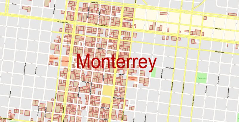
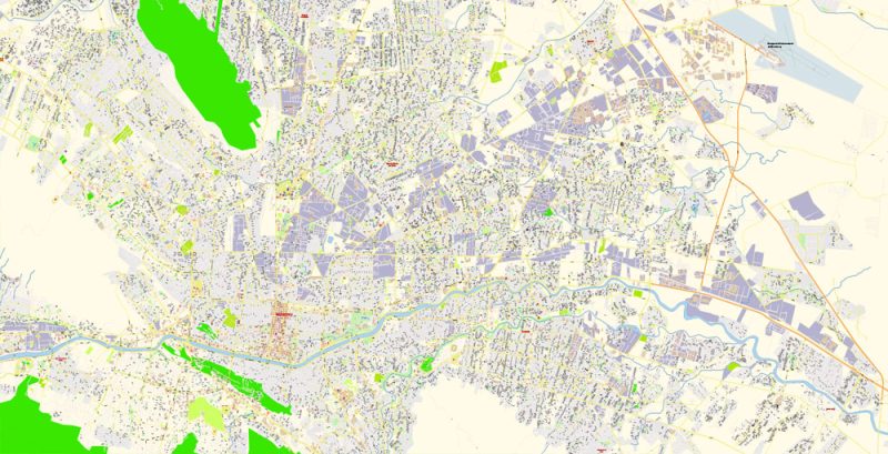
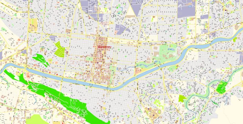
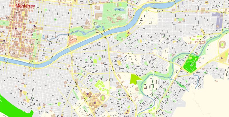
Printable Vector Map of Monterrey Mexico detailed City Plan Metro Area scale 100 m 1:4232 full editable Adobe Illustrator Street Map in layers, scalable, text format all names, 23 MB ZIP
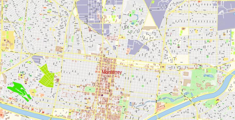
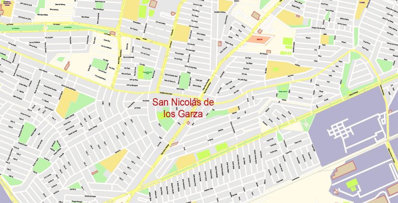
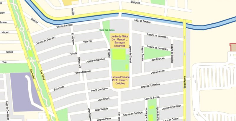
All street names, Main Objects, Buildings. Map for design, printing, arts, projects, presentations, for architects, designers, and builders, business, logistics.
Layers: color_fills, water, streets_roads, labels_roads, names_objects, names_streets, names_places, arrows_streets, buildings, legend, etc.
The most exact and detailed map of the city in scale.
For Editing and High-Quality Printing
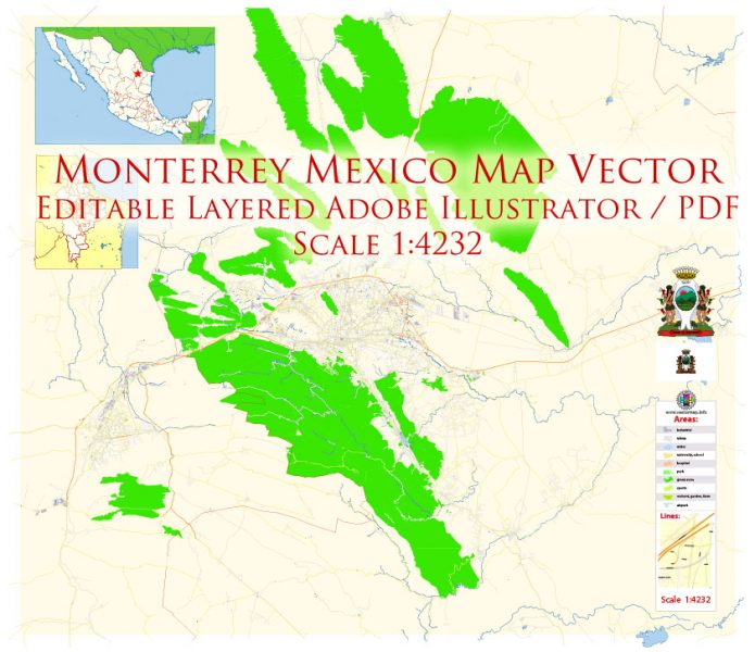
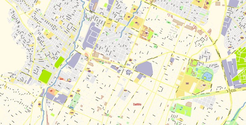
Monterrey Mexico Map Vector Exact City Plan Metro Area High Detailed Street Map editable Adobe Illustrator in layers
Monterrey
Useful information for tourists about Monterrey in Mexico – geographical location, tourist infrastructure, map, architectural features, and attractions.
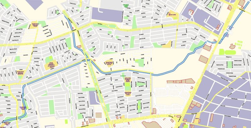
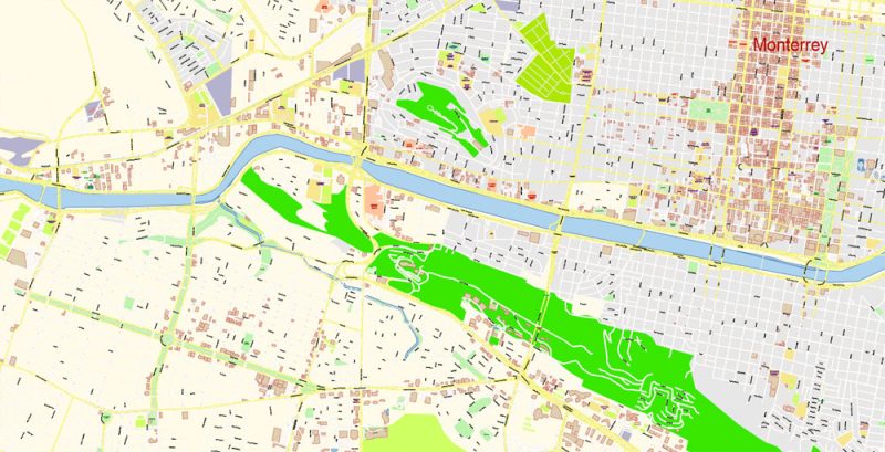
Monterrey Mexico Map Vector Exact City Plan Metro Area High Detailed Street Map editable Adobe Illustrator in layers
Monterrey, better known as the “Sultan of the North”, is the capital of one of the most prosperous Mexican States of Nuevo Leon. It is located in the North-Eastern part of the country, in the foothills of the Sierra Madre Ridge. The city’s total area of 860 square kilometers is home to more than 1130 thousand inhabitants.
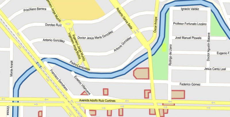
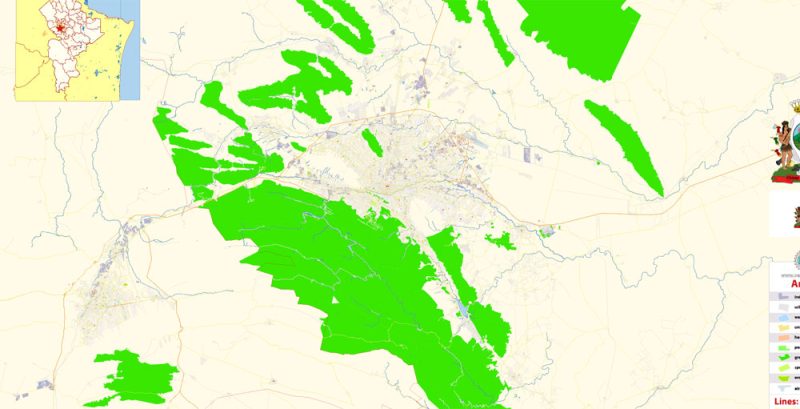
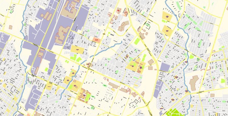
Monterrey Mexico Map Vector Exact City Plan Metro Area High Detailed Street Map editable Adobe Illustrator in layers
Before there were white people on the territory of modern Monterrey, the local lands were inhabited by Indians-Coahuiltecan, who were engaged in gathering and hunting. In the XVI century the valley where today is the town called the valley of Extremadura.
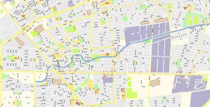
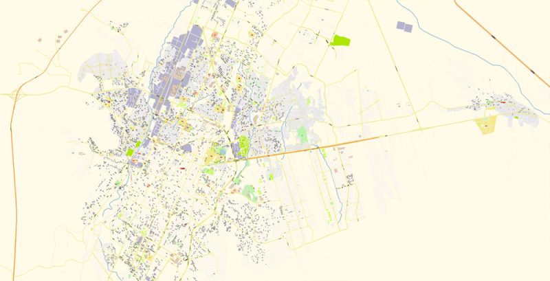
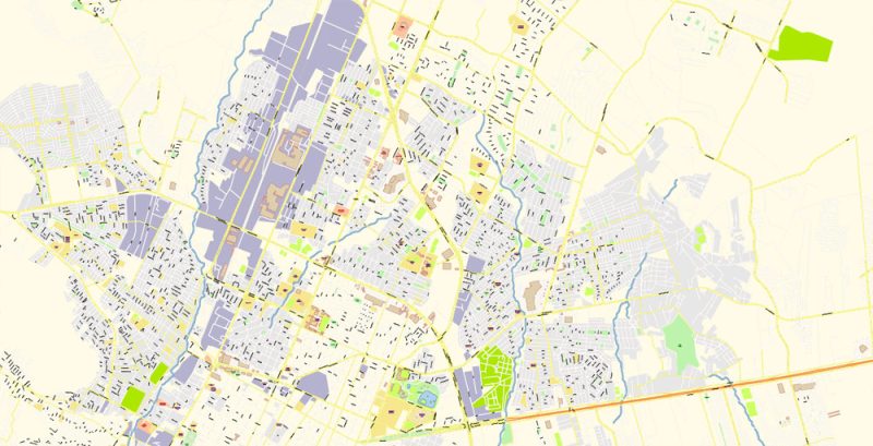
Monterrey Mexico Map Vector Exact City Plan Metro Area High Detailed Street Map editable Adobe Illustrator in layers
King Philip II of Spain agreed with the Spanish discoverer Louis Carvajal to establish in the North of New Spain territory, which would be called Nuevo Leon, which translated from Spanish means “New Kingdom of Leon”. The Carvajal arrived on granted land in 1580, however, the settlement called San Luis Rey de Francia, it was only founded in 1582 Soon due to the frequent raids of the Indians, the colony went into decline. Before the arrival of the third expedition, led by Diego de Montemayor, who brought here several families of Spanish immigrants, Nuevo Leon was in an abandoned state. During the Spanish rule, the settlement was a lively but small town, with a population of several hundred people.
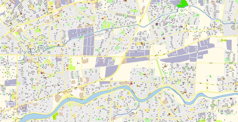
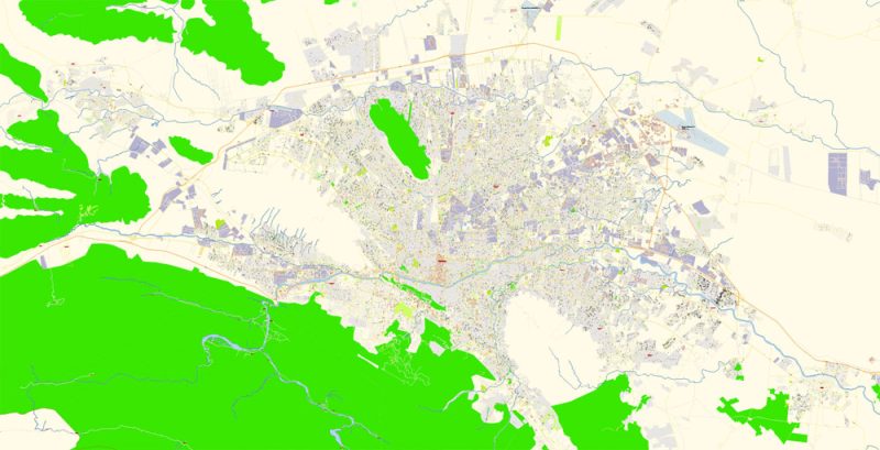
Monterrey Mexico Map Vector Exact City Plan Metro Area High Detailed Street Map editable Adobe Illustrator in layers
In XIX art. Monterrey became the main economic center of the newly formed state. During the last decade of the XIX art. in the city was laid a network of Railways, which had a positive impact on the industry. In 1900 the first factories in Latin America were launched. Today Monterrey is considered to be an important industrial, financial and educational center of the whole of Mexico. Here are the largest enterprises of ferrous and nonferrous metallurgy, as well as food, Metalworking, and electrical industries. In addition to all this, Monterrey is an interesting tourist center, there is a huge number of attractions.
Monterrey Mexico Map Vector Exact City Plan Metro Area High Detailed Street Map editable Adobe Illustrator in layers
The Mexican-American border near Monterrey has had a positive impact on the economy and the life of the city as a whole. The city is very closely connected to the United States of America. There is almost no Mexican flavor, but you can see a lot of features of the American metropolis.
Monterrey Mexico Map Vector Exact City Plan Metro Area High Detailed Street Map editable Adobe Illustrator in layers
Monterrey is an amazing Mexican city with many interesting sights. The most famous place in the city is the Central square of Marco Plaza. It is here that the monument to Faro del Comercio (Lighthouse of Commerce). Marco Plaza square is a complex of squares connected by beautiful parks and shady alleys. On the square, you can see beautiful fountains, and around it – several theaters and the majestic Cathedral.
Monterrey Mexico Map Vector Exact City Plan Metro Area High Detailed Street Map editable Adobe Illustrator in layers
One of the main attractions of Monterrey is known throughout the city artificial canal, Santa Lucia. The most elite restaurants, hotel complexes, shops, and luxury mansions are located in the “Pink Zone”. This is a real Paradise for lovers of modern architectural art.
Monterrey Mexico Map Vector Exact City Plan Metro Area High Detailed Street Map editable Adobe Illustrator in layers
You can learn about the history and culture of Monterrey at the Museum of modern art, the Museum of Mexican history, and the Museum and puppet Theater.
Monterrey Mexico Map Vector Exact City Plan Metro Area High Detailed Street Map editable Adobe Illustrator in layers
Monterrey Mexico Map Vector Exact City Plan Metro Area High Detailed Street Map editable Adobe Illustrator in layers
Monterrey Mexico Map Vector Exact City Plan Metro Area High Detailed Street Map editable Adobe Illustrator in layers
Monterrey Mexico Map Vector Exact City Plan Metro Area High Detailed Street Map editable Adobe Illustrator in layers
Monterrey Mexico Map Vector Exact City Plan Metro Area High Detailed Street Map editable Adobe Illustrator in layers
Monterrey Mexico Map Vector Exact City Plan Metro Area High Detailed Street Map editable Adobe Illustrator in layers
Monterrey Mexico Map Vector Exact City Plan Metro Area High Detailed Street Map editable Adobe Illustrator in layers
Monterrey Mexico Map Vector Exact City Plan Metro Area High Detailed Street Map editable Adobe Illustrator in layers
Monterrey Mexico Map Vector Exact City Plan Metro Area High Detailed Street Map editable Adobe Illustrator in layers
Monterrey Mexico Map Vector Exact City Plan Metro Area High Detailed Street Map editable Adobe Illustrator in layers


 Author: Kirill Shrayber, Ph.D. FRGS