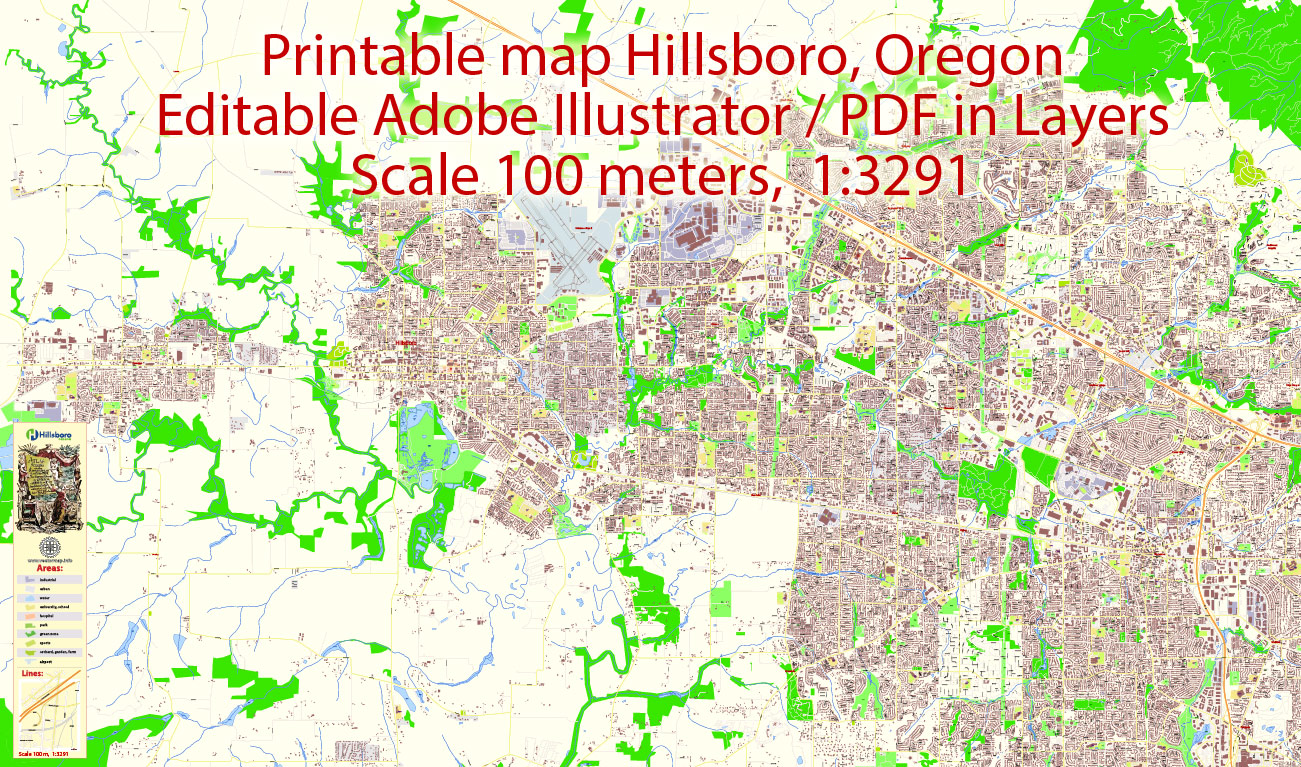
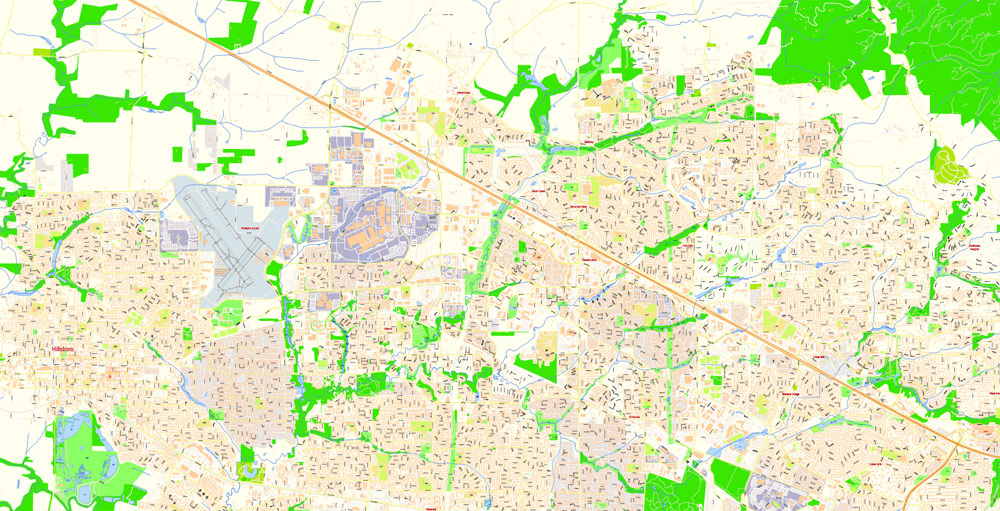
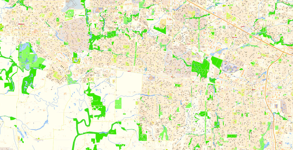
Printable Map Hillsboro Oregon US, exact vector City Plan all Buildings scale 1:3291 full editable Adobe Illustrator Street Map, scalable, editable text format street names, 25 mb ZIP
All streets named, Main Objects, all Builadings. Map for design, printing, arts, projects, presentations, for architects, designers and builders, business, logistics.
Layers: color fills, streets_roads, arrows_streets, labels_roads, objects, buildings, names_objects, names_streets, names_places, grids, legend.
The most exact and detailed map of the city.
For High Quality Printing.
DWG, DXF and other formats – on request, same price, please, contact
Hillsboro, Oregon, USA.
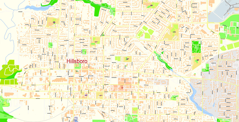
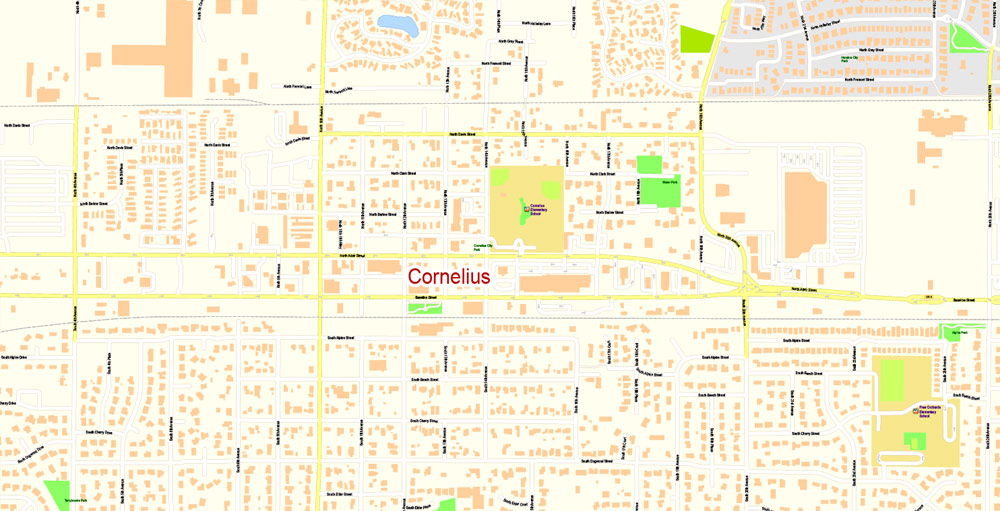
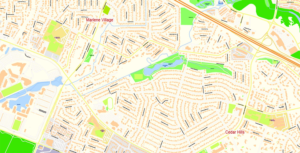
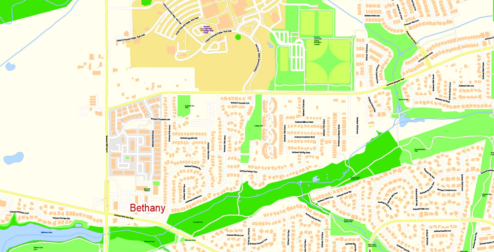
This vector map of Hillsboro city is used as a basis for design, editing, and further printing.
This is the most detailed, exact map of Hillsboro city for high-quality printing and polygraphy. You can always clarify the map development date by contacting us.
For your convenience, all objects on Hillsboro vector city map are divided into layers. And the editing is very easy – colors, lines, etc.
You can easily add any objects needed (e.g. shops, salons, sale points, gas station or attraction) on any layer of Hillsboro vector map.
Hillsboro is the fifth-largest city in the State of Oregon and is the county seat of Washington County. Lying in the Tualatin Valley on the west side of the Portland metropolitan area, the city hosts many high-technology companies, such as Intel, that comprise what has become known as the Silicon Forest. At the 2010 Census, the city’s population was 91,611.
One of the advantages of Hillsboro city vector maps of our production is the relevance of cartographic data, we constantly update all our products.
This vector map of Hillsboro city is used by:
designers, layout designers, printers, advertisers and architects. Our product – vector maps – is designed for further editing and printing in large formats – from @Wall format (a few meters) to A-0 and A-1, A-2, A-3.
The Hillsboro city map in vector format is used for design, urban planning, presentations and media visualizations.
The advertising and presentation map of Hillsboro city (usually the final designer marks the routes, and puts the client’s objects (shops, saloons, gas stations etc.)
The undoubted advantage is that people will NEVER throw out this advertising product – the map. In fact, as an advertising medium, a city map is the most “long-playing” of the well-known polygraphic advertising media, with the longest lifespan, and the maximum number of interactions with the customer.
For travelers, maps are sold at the airports and gas stations around the world. Often the source is our vector maps.
Take a look, who purchases our vector maps of Hillsboro city in “Our Clients and Friends” page – these are large and small companies, from super-brands like Volvo and Starbucks, to small design studios and printing houses.
It’s very easy to work with vector maps of Hillsboro city, even for a not very experienced designer who can turn on and off the map layers, add new objects, change the colors of fill and lines according to customer requirements.
The undoubted advantage of Hillsboro city vector maps in printing is an excellent and detailed visualization, when customer can expand a large paper map and instantly define his location, find a landmark, an object or address on map, unlike using the popular electronic formats of Google and Yandex maps for example.
For thousands of years before the arrival of European-American settlers, the Atfalati tribe of the Kalapuya lived in the Tualatin Valley near the later site of Hillsboro. The climate, moderated by the Pacific Ocean, helped make the region suitable for fishing, hunting, food gathering, and agriculture. Settlers founded a community here in 1842, later named after David Hill, an Oregon politician. Transportation by riverboat on the Tualatin River was part of Hillsboro’s settler economy. A railroad reached the area in the early 1870s and an interurban electric railway about four decades later. These railways, as well as highways, aided the slow growth of the city to about 2,000 people by 1910 and about 5,000 by 1950, before the arrival of high-tech companies in the 1980s.
Printable vector maps of Hillsboro city are much more convenient and efficient than any electronic maps on your smartphone, because ALL DETAILS are displayed in the entire space of Hillsboro city map.
Useful tips on working with vector maps of cities and countries in Adobe Illustrator.
«V» – launches the Selection tool (cursor, black arrow), which makes active any vector line.
«А» – launches the Direct Selection tool (white cursor), allows you to select curve elements and drag them to the desired place.
«R» – activates the Rotate tool, which helps you rotating selected objects around the center point by 360 degrees.
«E» – gives you the opportunity to use the Eraser tool and erase unnecessary parts.
«X» – switches between Fill and Stroke in the Tools section. Try to get used to this hot key and
you will quickly understand that you can’t live and work without it.
Hillsboro has a council–manager government consisting of a city manager and a city council headed by a mayor. In addition to high-tech industry, sectors important to Hillsboro’s economy are health care, retail sales, and agriculture, including grapes and wineries. The city operates more than twenty parks and the mixed-use Hillsboro Stadium, and ten sites in the city are listed on the National Register of Historic Places (NRHP).
Guides are not limited to vertical and horizontal in Adobe Illustrator. You can also create a diagonal guide for example. Moreover, you can turn any contours into guides. Select the outline and go to View > Guides > Make Guides (Create Guides), or simply press Cmd/Ctrl + 5. You can also turn the guides back into an editable object. Go to menu, View > Guides > Unlock Guides (Release Guides), select the guide you want to edit and select View > Guides > Release Guides (Reset Guides), or just press Cmd/Ctrl + Option / Alt + 5).
You will probably want to change the color scheme used on our Hillsboro vector city map.
To quickly and effectively play with colors.
Of course, you can do it manually, all objects in our Hillsboro city vector map are divided according to types and layers, and you can easily change the color gamma of vector objects in groups and layers.
But there is more effective way of working with the whole VECTOR MAP of Hillsboro city and all layers:
The overview dialog «Edit colors»/«Repaint Graphic Object» (this dialog box name can change depending on the context):
If you have selected a part or a layer of Hillsboro city vector map and open the dialog box by clicking the icon in the Control panel, on the Samples palette or the Color Catalog, or if you choose Edit > Edit Colors> Repaint Graphic Object, then the «Repaint Graphic Object» dialog box appears, and you get access to «Assign» and «Edit» tabs.
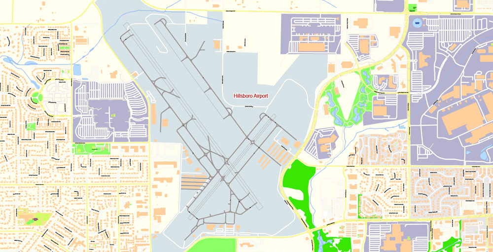
Modes of transportation include private vehicles, public buses and light rail, and aircraft using the Hillsboro Airport. The city is home to Pacific University’s Health Professions Campus. Notable residents include two Oregon governors.
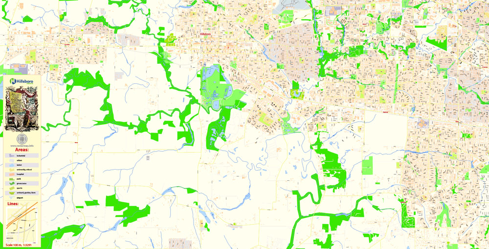
Geography
Map of Hillsboro with eight planning areas designated in different colors. Includes major roadways and locations of schools.
If a picture or a map fragment is not selected, and you open the dialog box by clicking the icon in the Control panel, on the Samples palette or in the Color Catalog, the «Edit Colors» dialog box appears and you can only access the «Edit» tab.
Regardless of the name at the top of the dialog box, the right-hand side always displays the color group of the current document, as well as two default color groups: Print Color and Grayscale. These color groups can be selected and used any time.
Create and edit color groups of Hillsboro city vector map, and also assign colors using the «Edit Colors»/ а «Repaint Graphic Object» dialog box.
A. Creating and editing of a color group on the «Edit» tab
B. Assigning colors on the «Assign» tab
C. Select a group of colors from the «Color groups» list
The option «Repaint a graphic object» in the lower part of the dialog box allows you to preview the colors on a selected layer of Vector map, or a group of elements, and specify whether its colors will be redefined when the dialog box is closed.
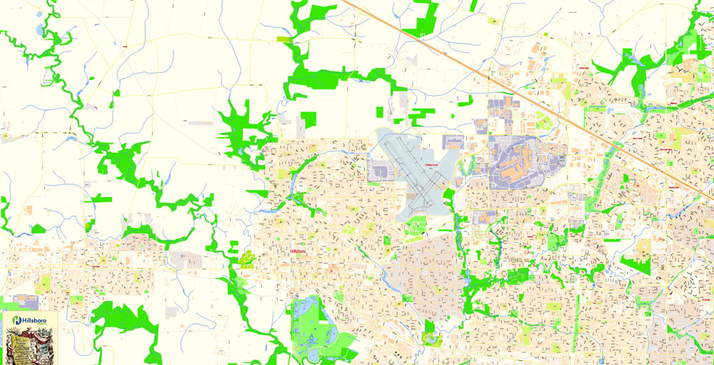
Hillsboro is located at 45°31′N 122°59′W. The United States Census Bureau reports the city has a total area of 21.6 square miles (55.9 km2), all of which is land. In 2013, Hillsboro itself reported an area of 23.88 square miles (61.8 km2), equivalent to 15,283 acres (61.8 km2). The city is located in the Tualatin Valley, and the Tualatin River forms part of the southern city limits. The city’s terrain is fairly level, consistent with an agricultural past and the farms still in operation.
The main areas of the dialog box are:
«Edit»
The «Edit» tab is designed to create a new or edit the existing color groups.
The harmony rules Menu and the Color Wheel are used to conduct experiments with color harmonies. The color wheel shows how colors are related in color harmony, and the color bars allow you to view and manipulate an individual color values. In addition, you can adjust the brightness, add and remove colors, save color groups and view colors on the selected Vector Map of Hillsboro city or a separated layers.
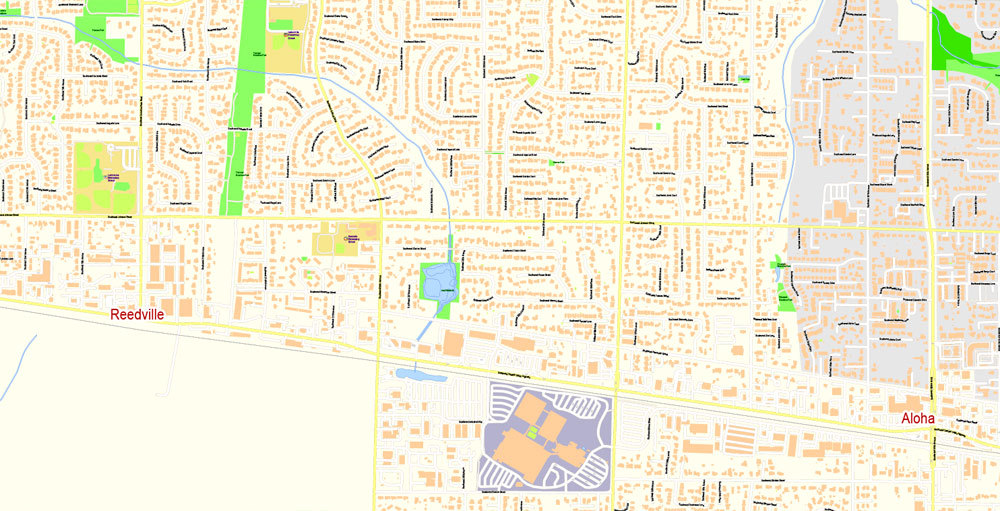
Hillsboro is about 17 miles (27 km) west of Portland and immediately west of Beaverton, at an elevation of 194 feet (59 m) above sea level. In addition to the Tualatin River, streams include Dairy Creek, McKay Creek, Rock Creek, Dawson Creek, and Turner Creek. Neighboring communities in addition to Beaverton are Aloha, Cornelius, North Plains, Reedville, Scholls, and West Union.
«Assign»
The «Assign» tab is used to view and control on how the original colors are replaced with colors from the color group like your corporate colors in the Vector Map of Hillsboro city.
The assign color ability is provided only if the entire map, layer or fragment is selected in the document. You can specify which of new colors replace the current colors, whether the spot colors should be preserved and how colors are replaced (for example, you can replace colors completely or changing the color tone while maintaining the brightness). The «Assign» tab allows you to redefine colors in the Vector Map of Hillsboro city, or in separate layers and fragments using the current color group or reducing the number of colors in the current Vector Map.
Color groups
Is a list of all saved color groups for current document (the same groups appear in the «Samples» palette). You can edit and delete the existing color groups, as well as creating a new ones using the list of “Color Groups” in the dialog box. All changes appear in the «Samples» palette.
The highlighted color group shows, which color group is currently edited.
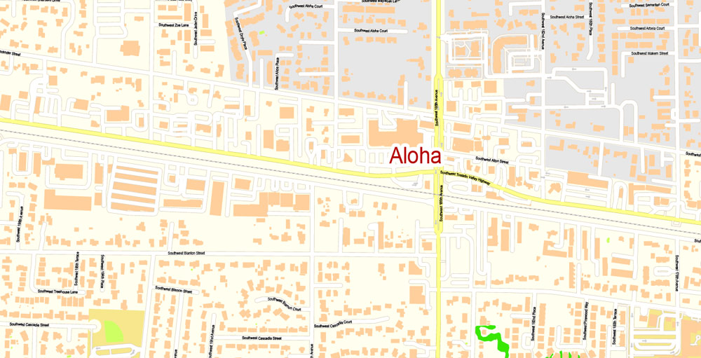
Hillsboro’s street system differs from many others in the county. Most cities in Washington County use a numbering system and cardinal direction orientation based on a grid that begins at the Willamette River in downtown Portland, which was originally part of Washington County. For example, the street names in Beaverton generally include Southwest (SW) prefixes because Beaverton lies in the southwest quadrant of the Portland grid. In Hillsboro, some county road names and addresses conform to the Portland grid instead of Hillsboro’s internal cardinal direction grid, and the city has been working to make addresses and streets within Hillsboro conform to the internal grid.
Any color group can be selected and edited, or used to redefine the colors in the selected vector map of Hillsboro city, its fragments or elements.
Saving a color group adds this group to the specified list.
Opening the «Edit Colors»/«Repaint Graphic Object» dialog box.
Open the «Edit Colors»/«Repaint Graphic Object» dialog box using one of the following methods:
«Edit»> «Edit Colors»> «Repaint Graphic object» or «Repaint With Style».
Use these commands if you need to edit the colors in the selected vector map of Hillsboro city.
«Repaint Graphic object» button on the «Control» panel.
Use this button if you need to adjust colors of Hillsboro city vector map using the а «Repaint graphic object» dialog box.
The specified button is available if the selected vector map or its fragment contains two or more colors.
Note. This color editing method is convenient for global color adjustment in a vector map, if global colors were not used when creating a City Map of Hillsboro.
The «Edit colors» button or «Edit or apply colors» on the «Color Catalog» palette
Click this button if you need to edit colors on the «Color Catalog» palette or edit and then apply them to the selected Vector Map of Hillsboro city or its fragment.
The «Edit color group» button or «Edit or apply color group» on the «Samples» palette.
Click this button if you need to edit the colors in the specific color group or edit and apply them to the selected Vector Map of Hillsboro city or a group of its elements, for example, the whole layer “Streets and lines”. You can also double-click the color group in the Samples panel to open the dialog box.
The internal grid in Hillsboro centers on the downtown intersection of Main Street, which runs east–west, and First Avenue, which runs north–south. Most addresses within the city include a quadrant prefix: NW, NE, SW, or SE. Main Street is simply designated as East Main or West Main, and First Avenue is only North First or South First. Addresses on the streets’ south side and the avenues’ east side have even numbers, while odd numbers are on the opposite side. Hillsboro’s street system contains 20 blocks per mile (12.5 blocks per kilometer).
If the map file is too large and your computer freezes or even can’t open it quickly:
1. Try to reduce the color resolution of the video card (display) to 256 colors while working with a large map.
2. Using Windows Task Manager, select all the application you don’t need, while working with map, just turn them off.
3. Launch Adobe Illustrator. (DO NOT OPEN the vector map file)
4. Start the Windows Task Manager using administrator rights > Find the “Illustrator” process > set the «real time» priority,
5. Open the file. When you see the LEGACY FONT popup window – click “OK” (do not update). You can restore the TEXT later.
6. Can also be useful: When file is opened – Edit > Settings > Basic Settings > disable smoothing. /// It looks scary, but works quickly)))
We recommend saving the file in Adobe Illustrator 10 version. It’s much more stable when working with VERY BIG size files.
North–south through roadways are called avenues, while east–west roadways are called streets. All cul-de-sacs are named as either places or courts. Roads that curve can be named drives. Non-city streets may not conform to these naming conventions.
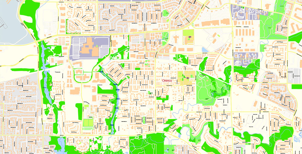
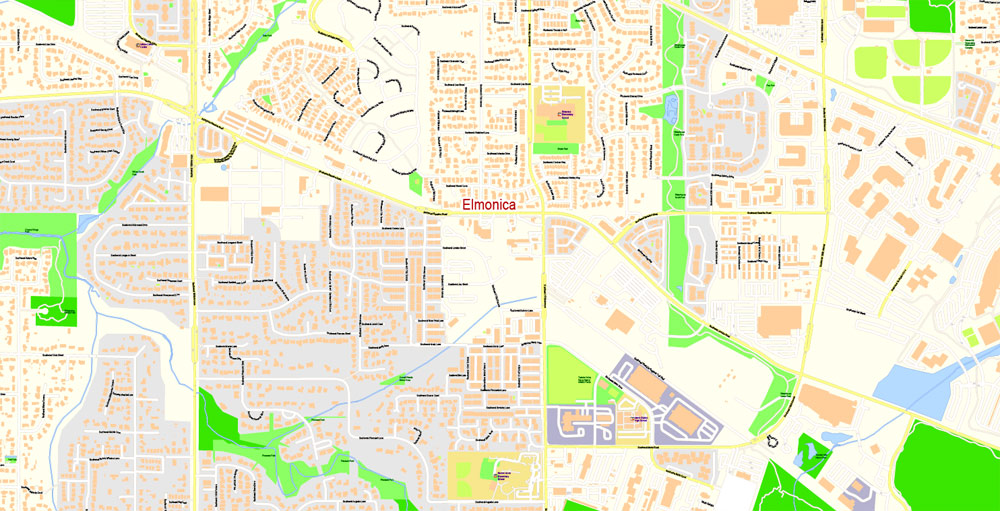
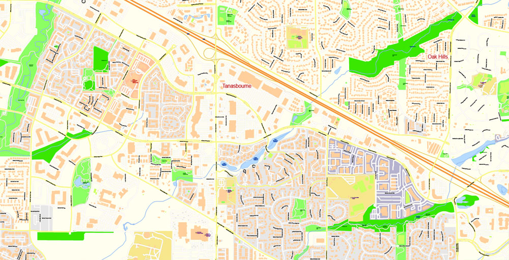
The city is divided into eight planning areas, each of which contains several neighborhoods. The east planning area contains the Tanasbourne neighborhood and Oregon Health & Science University’s West Campus. The northeast planning area includes the Orenco, Orenco Station, Airport, and West Union neighborhoods. Jackson School, Sunrise, and Glencoe neighborhoods lie in the northwest area, and the Dennis, Garibaldi, and Connell neighborhoods are in the west area. The central area includes the Downtown, Jackson Bottom, Henry, and Eastwood neighborhoods. Blocks in the downtown core are 400 feet (120 m) long on each side. The Minter Bridge, Rood Bridge, and River Road neighborhoods are in the south planning area; the southeast area consists of the Reedville and Witch Hazel neighborhoods, and the Brookwood planning area in the center of the city contains the Cedar, Bentley, and Brogden neighborhoods.
Landmarks in Hillsboro include the Washington County Courthouse, the seat of county government. Along the western edge of the city is Hillsboro Pioneer Cemetery, established in 1870, which serves as the final resting place of city pioneers and politicians. Next to the airport is the Washington County Fair Complex, home to the annual county fair. Located at Shute Park is the 25-foot (7.6 m) tall wood sculpture Chief Kno-Tah, donated to Hillsboro and dedicated in 1987 as part of Peter Wolf Toth’s Trail of the Whispering Giants.
Hillsboro
City in Oregon
Hillsboro is the fifth-largest city in the State of Oregon and is the county seat of Washington County.Lying in the Tualatin Valley on the west side of the Portland metropolitan area, the city hosts many high-technology companies, such as Intel, that comprise what has become known as the Silicon Forest.
For thousands of years before the arrival of European-American settlers, the Atfalati tribe of the Kalapuya lived in the Tualatin Valley near the later site of Hillsboro. The climate, moderated by the Pacific Ocean, helped make the region suitable for fishing, hunting, food gathering, and agriculture. Settlers founded a community here in 1842, later named after David Hill, an Oregon politician. Transportation by riverboat on the Tualatin River was part of Hillsboro’s settler economy. A railroad reached the area in the early 1870s and an interurban electric railway about four decades later. These railways, as well as highways, aided the slow growth of the city to about 2,000 people by 1910 and about 5,000 by 1950, before the arrival of high-tech companies in the 1980s.
Hillsboro has a council–manager government consisting of a city manager and a city council headed by a mayor. In addition to high-tech industry, sectors important to Hillsboro’s economy are health care, retail sales, and agriculture, including grapes and wineries. The city operates more than twenty parks and the mixed-use Hillsboro Stadium, and ten sites in the city are listed on the National Register of Historic Places (NRHP). Modes of transportation include private vehicles, public buses and light rail, and aircraft using the Hillsboro Airport. The city is home to Pacific University’s Health Professions Campus. Notable residents include two Oregon governors.
Elevation: 59 m
ZIP codes: 97123, 97124, 97006
Population: 105,164
Free US vector maps

Free Download Vector Map US County and State Adobe Illustrator
Free_Vector_Map_US_States_County_Map.ai
Free Download Vector Map US County and State Adobe PDF
Free_Vector_Map_US_States_County_Map.pdf

Free Download Vector Map US With States Names, Adobe Illustrator
Free_Map_of_USA_with_state_names_en.ai
Free Download Vector Map US With States Names, Adobe PDF
Free_Map_of_USA_with_state_names_en.pdf
From WIKI
Free vector map World, Adobe Illustrator, download now maps vector clipart
Map for design, projects, presentation free to use as you like.
See also: TERMS & CONDITIONS: SOFTWARE LICENSE AGREEMENT FOR DIGITAL CARTOGRAPHIC DATA.
Need more USA Vector Maps, printable and editable?


 Author: Kirill Shrayber, Ph.D. FRGS
