Extended Description of the Vector Map
Printable Vector Map Mahoning + Portage + Trumbull counties Ohio USA, exact high detailed editable layered Adobe Illustrator scalable, editable, text format all names, 52 MB ZIP
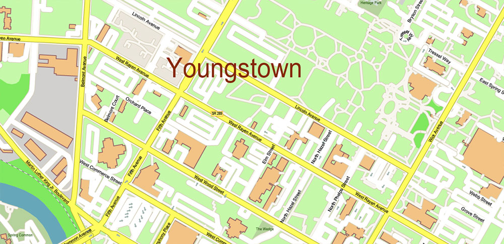
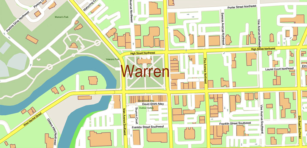
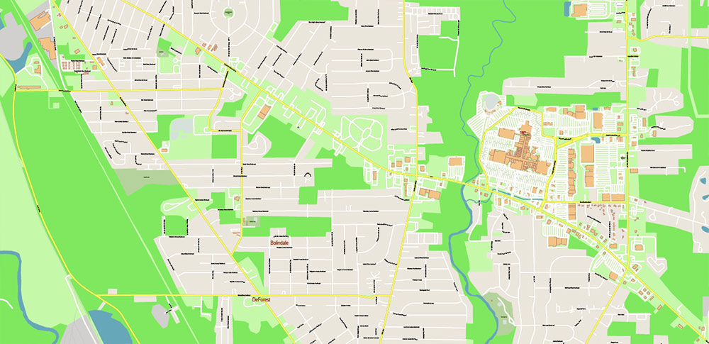
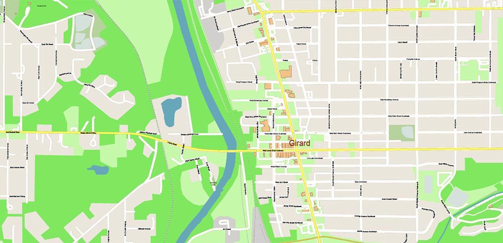
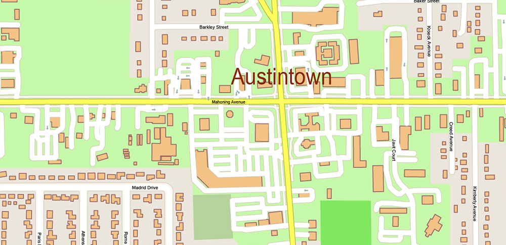
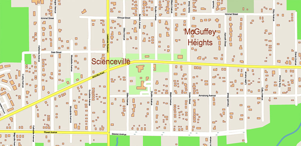
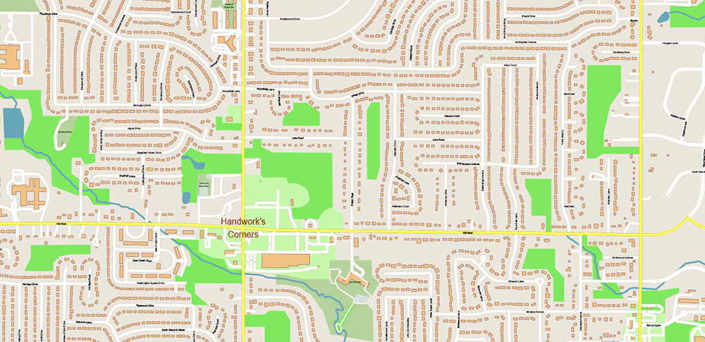
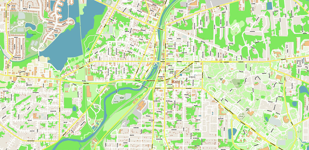
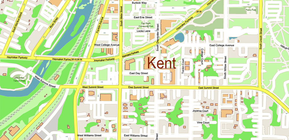
Names all streets, buildings
Map for design, printing, arts, projects, presentations, for architects, designers, and builders, business, logistics.
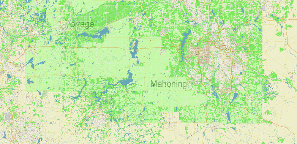
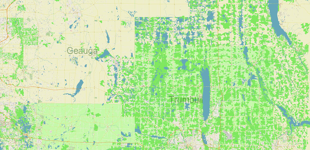
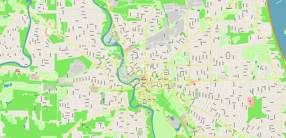
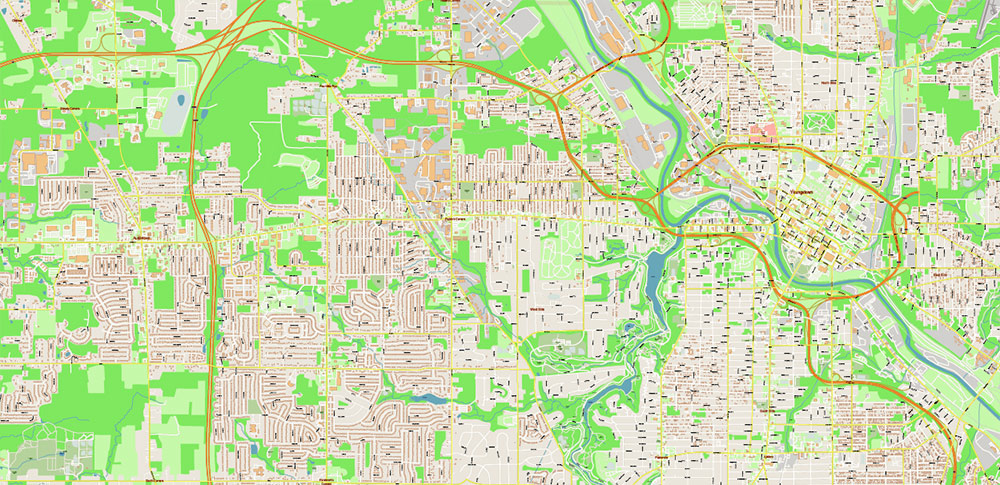
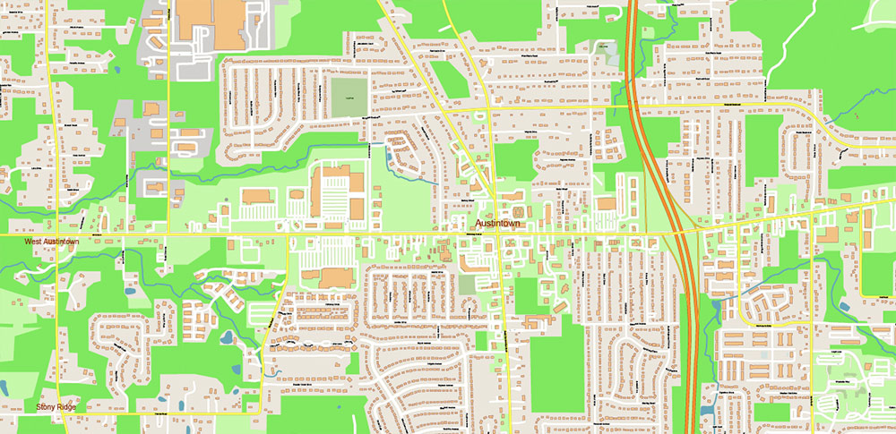
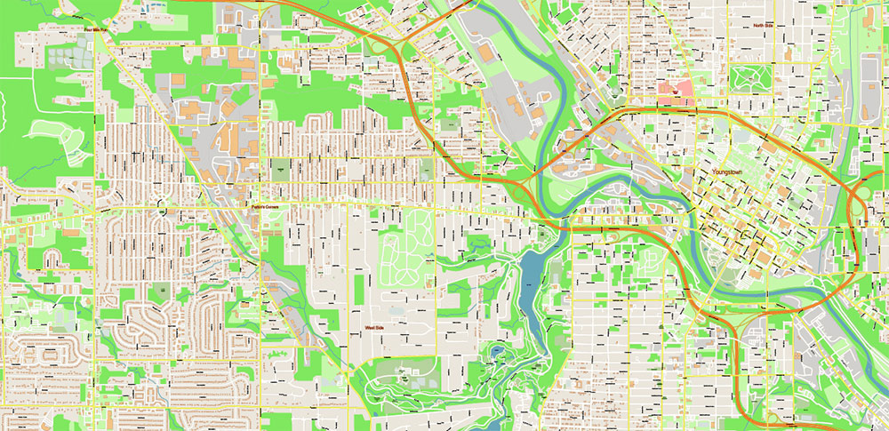
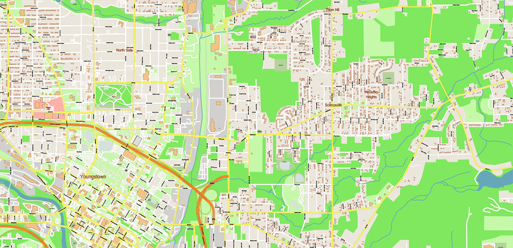
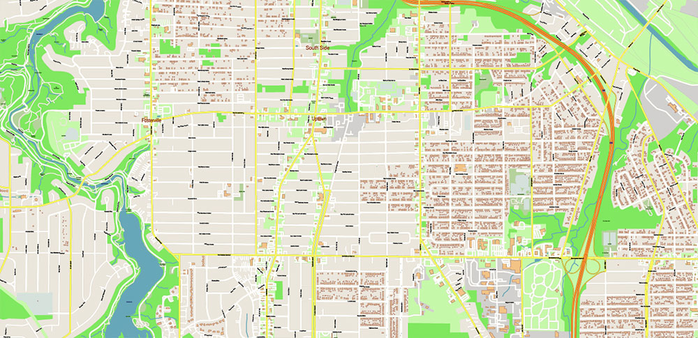
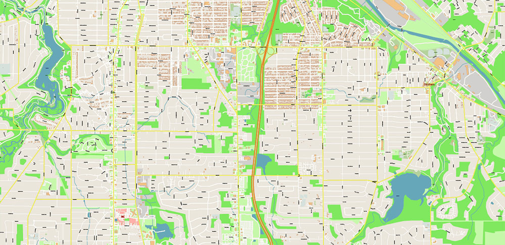
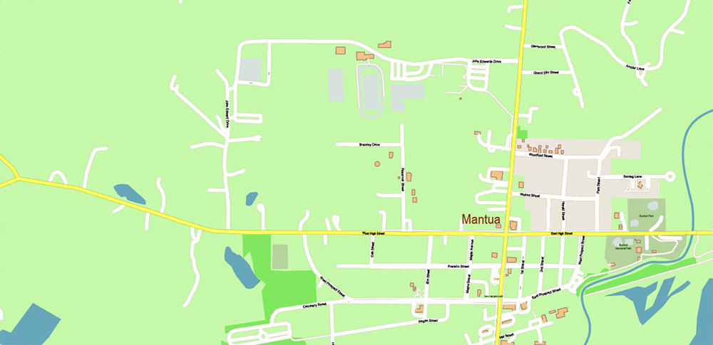
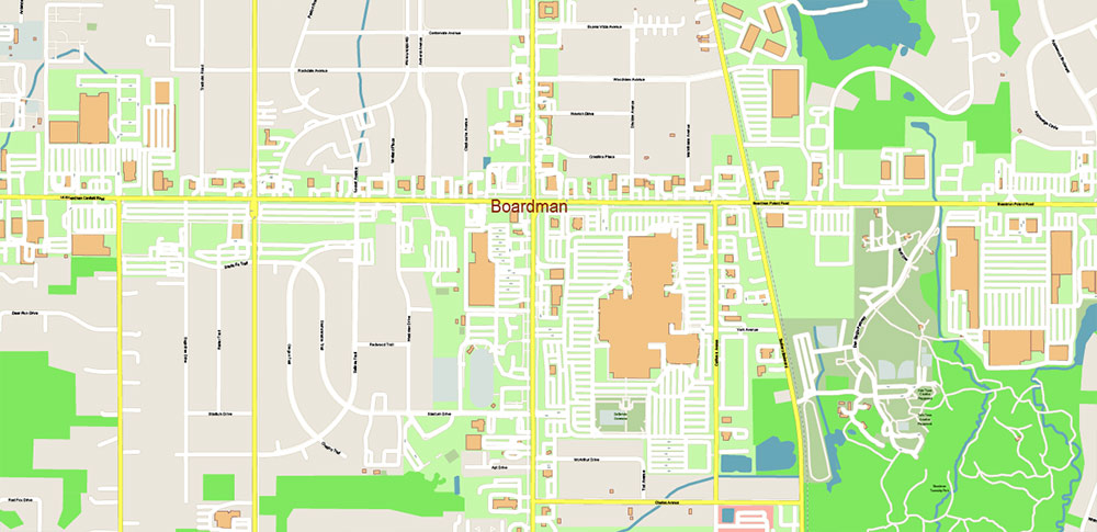
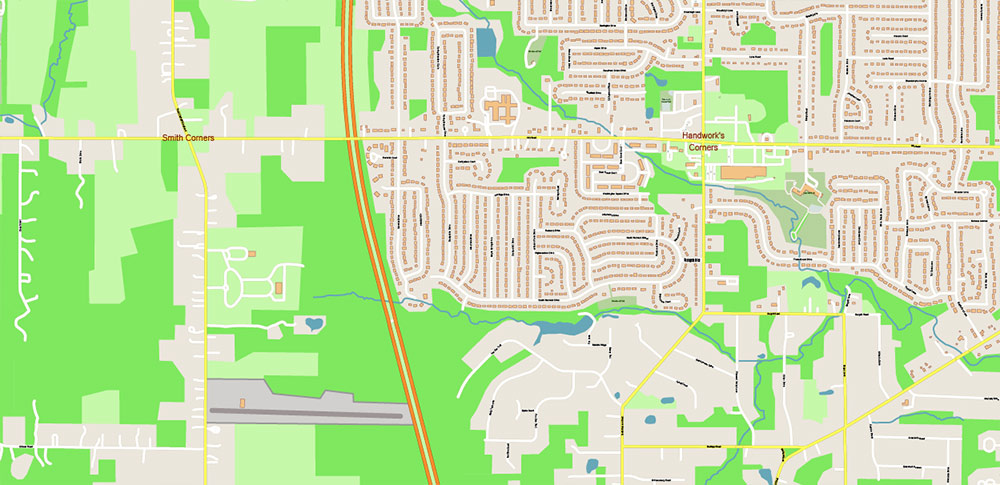
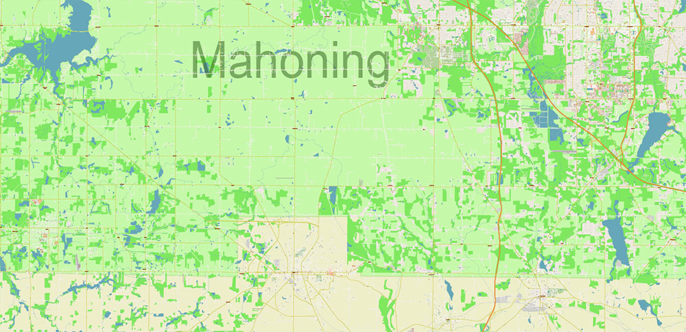
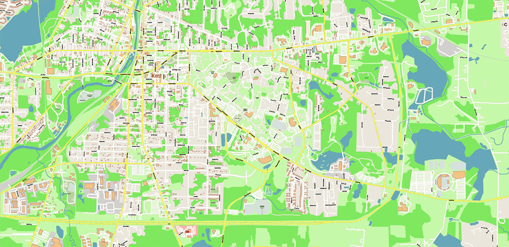
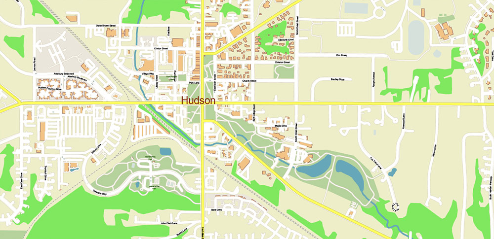
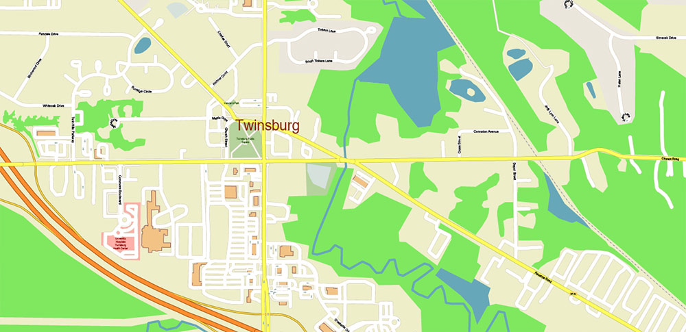
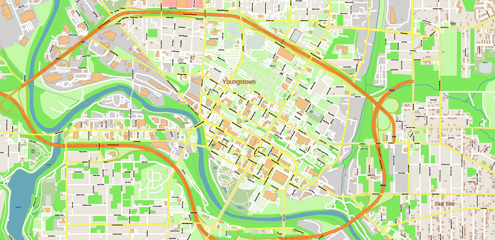
The most exact and detailed map of Mahoning + Portage + Trumbull counties Ohio USA
Map for editing and High-Quality Printing
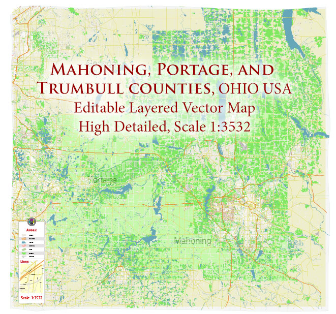
Mahoning + Portage + Trumbull counties Ohio USA High Detailed Vector Map Editable Layered Adobe Illustrator Scale 1:3532
Layers list:
- Legend
- Grids
- Labels of Roads
- Names Main Streets
- Names Residential streets
- Names Objects
- Names Places
- Names Counties
- Arrows of the street directions
- Main Streets and Roads
- Residential roads and streets
- Buildings
- Railroads
- Airports and Heliports
- Landuse areas
- Water objects (areas)
- Waterways
- Counties areas
- Background
Mahoning + Portage + Trumbull counties Ohio USA High Detailed Vector Map Editable Layered Adobe Illustrator Scale 1:3532
Mahoning + Portage + Trumbull counties Ohio USA High Detailed Vector Map Editable Layered Adobe Illustrator Scale 1:3532
Mahoning + Portage + Trumbull counties Ohio USA High Detailed Vector Map Editable Layered Adobe Illustrator Scale 1:3532
Mahoning + Portage + Trumbull counties Ohio USA High Detailed Vector Map Editable Layered Adobe Illustrator Scale 1:3532
Mahoning + Portage + Trumbull counties Ohio USA High Detailed Vector Map Editable Layered Adobe Illustrator Scale 1:3532
Mahoning + Portage + Trumbull counties Ohio USA High Detailed Vector Map Editable Layered Adobe Illustrator Scale 1:3532
Mahoning + Portage + Trumbull counties Ohio USA High Detailed Vector Map Editable Layered Adobe Illustrator Scale 1:3532
Mahoning + Portage + Trumbull counties Ohio USA High Detailed Vector Map Editable Layered Adobe Illustrator Scale 1:3532
Mahoning + Portage + Trumbull counties Ohio USA High Detailed Vector Map Editable Layered Adobe Illustrator Scale 1:3532
Mahoning + Portage + Trumbull counties Ohio USA High Detailed Vector Map Editable Layered Adobe Illustrator Scale 1:3532
Mahoning + Portage + Trumbull counties Ohio USA High Detailed Vector Map Editable Layered Adobe Illustrator Scale 1:3532
Mahoning + Portage + Trumbull counties Ohio USA High Detailed Vector Map Editable Layered Adobe Illustrator Scale 1:3532
Mahoning + Portage + Trumbull counties Ohio USA High Detailed Vector Map Editable Layered Adobe Illustrator Scale 1:3532
Mahoning + Portage + Trumbull counties Ohio USA High Detailed Vector Map Editable Layered Adobe Illustrator Scale 1:3532
Mahoning + Portage + Trumbull counties Ohio USA High Detailed Vector Map Editable Layered Adobe Illustrator Scale 1:3532
Mahoning + Portage + Trumbull counties Ohio USA High Detailed Vector Map Editable Layered Adobe Illustrator Scale 1:3532
Mahoning + Portage + Trumbull counties Ohio USA High Detailed Vector Map Editable Layered Adobe Illustrator Scale 1:3532
Mahoning + Portage + Trumbull counties Ohio USA High Detailed Vector Map Editable Layered Adobe Illustrator Scale 1:3532
Mahoning + Portage + Trumbull counties Ohio USA High Detailed Vector Map Editable Layered Adobe Illustrator Scale 1:3532
Mahoning + Portage + Trumbull counties Ohio USA High Detailed Vector Map Editable Layered Adobe Illustrator Scale 1:3532
Mahoning + Portage + Trumbull counties Ohio USA High Detailed Vector Map Editable Layered Adobe Illustrator Scale 1:3532
Mahoning + Portage + Trumbull counties Ohio USA High Detailed Vector Map Editable Layered Adobe Illustrator Scale 1:3532
Mahoning + Portage + Trumbull counties Ohio USA High Detailed Vector Map Editable Layered Adobe Illustrator Scale 1:3532
Mahoning + Portage + Trumbull counties Ohio USA High Detailed Vector Map Editable Layered Adobe Illustrator Scale 1:3532
Mahoning + Portage + Trumbull counties Ohio USA High Detailed Vector Map Editable Layered Adobe Illustrator Scale 1:3532
Mahoning + Portage + Trumbull counties Ohio USA High Detailed Vector Map Editable Layered Adobe Illustrator Scale 1:3532

 Author: Kirill Shrayber, Ph.D. FRGS

 City Plan + ZIPcodes + Counties editable Adobe Illustrator Street Map in layers")
