Extended Description of the Vector Map
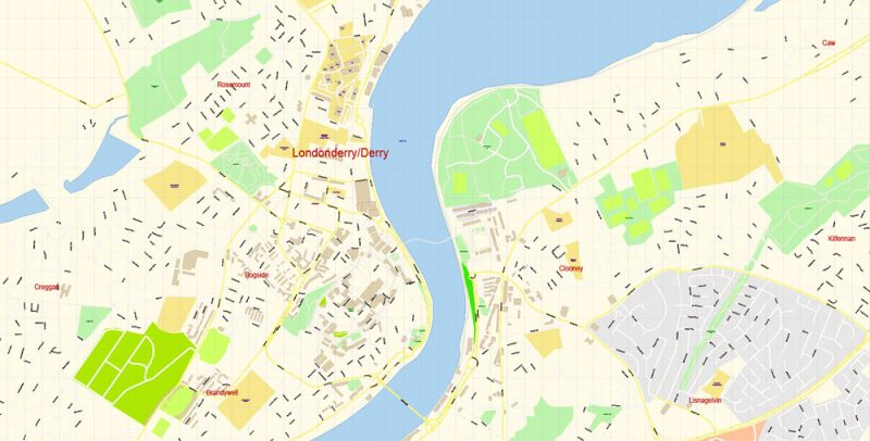
Printable Vector Map of Londonderry Derry area UK detailed City Plan scale 100 m 1:2694 full editable Adobe Illustrator Street Map in layers, scalable, text format all names, 22 MB ZIP
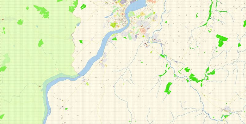
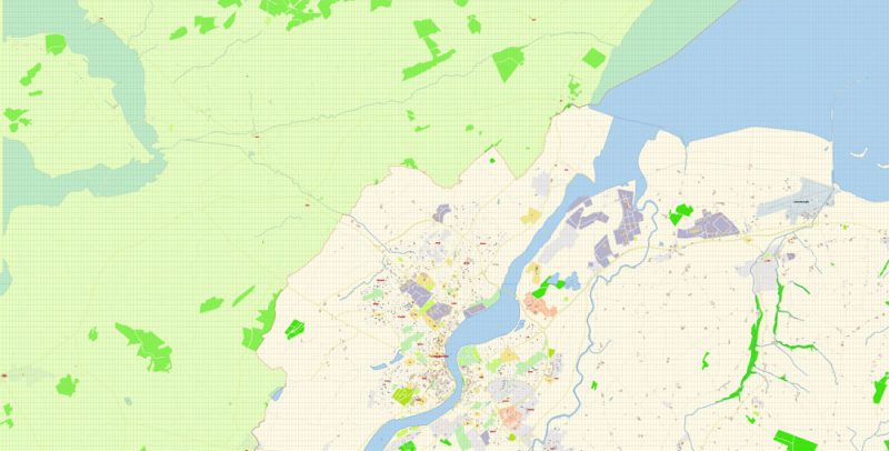
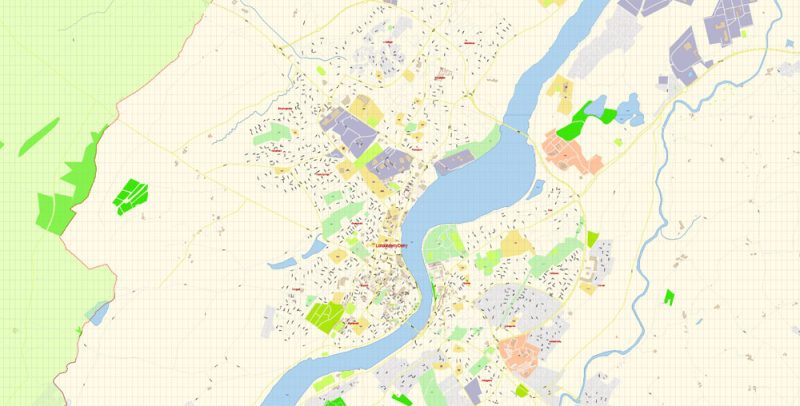
All street names, Main Objects, Buildings. Map for design, printing, arts, projects, presentations, for architects, designers, and builders, business, logistics.
Layers: color_fills, water, streets_roads, labels_roads, names_objects, names_streets, names_places, arrows_streets, buildings, legend, etc.
Included: Admin map UK, Admin map Ireland
The most exact and detailed map of the city in scale.
For Editing and High-Quality Printing
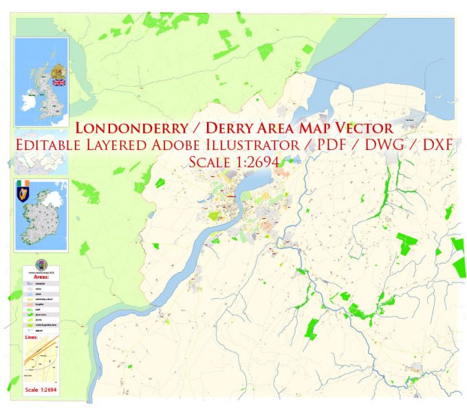
Londonderry Derry area UK Map Vector Exact City Plan High Detailed Street Map editable Adobe Illustrator in layers
Londonderry
City in Northern Ireland
Derry, also known as Londonderry, is a city on the River Foyle in Northern Ireland. It’s known for the intact 17th-century Derry’s Walls with 7 gates. Within the walls, spired St. Columb’s Cathedral displays artifacts from the 1688–9 Siege of Derry. Near the Peace Bridge, the Tower Museum has city views and historical exhibits. Huge stained-glass windows adorn the neo-Gothic red sandstone Guildhall.
Population: Derry: 85,016; Urban: 93,512; Metro: 237,000;

Londonderry Derry area UK Map Vector Exact City Plan High Detailed Street Map editable Adobe Illustrator in layers
Londonderry Derry area UK Map Vector Exact City Plan High Detailed Street Map editable Adobe Illustrator in layers
Londonderry Derry area UK Map Vector Exact City Plan High Detailed Street Map editable Adobe Illustrator in layers
Londonderry Derry area UK Map Vector Exact City Plan High Detailed Street Map editable Adobe Illustrator in layers
Londonderry Derry area UK Map Vector Exact City Plan High Detailed Street Map editable Adobe Illustrator in layers


 Author: Kirill Shrayber, Ph.D. FRGS
