Extended Description of the Vector Map
Printable Vector Map of Lago de Chapala Area Jalisco Mexico High Detailed scale 1:4406 fully editable Adobe Illustrator Street Map in layers, scalable, text/curves format all names, 7 MB ZIP
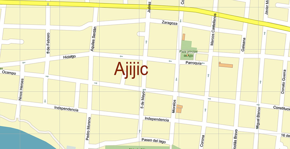
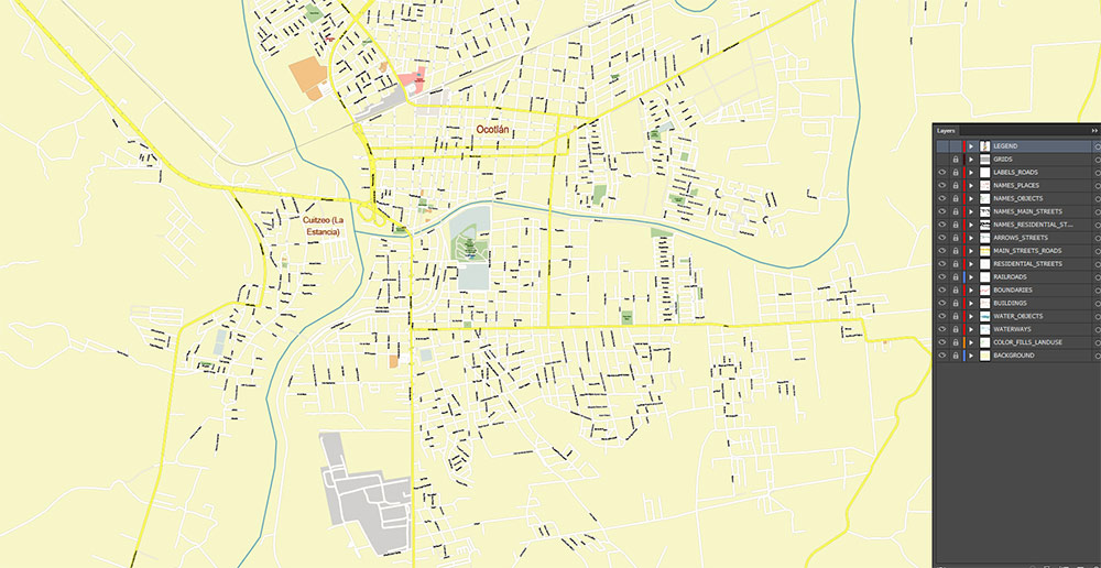
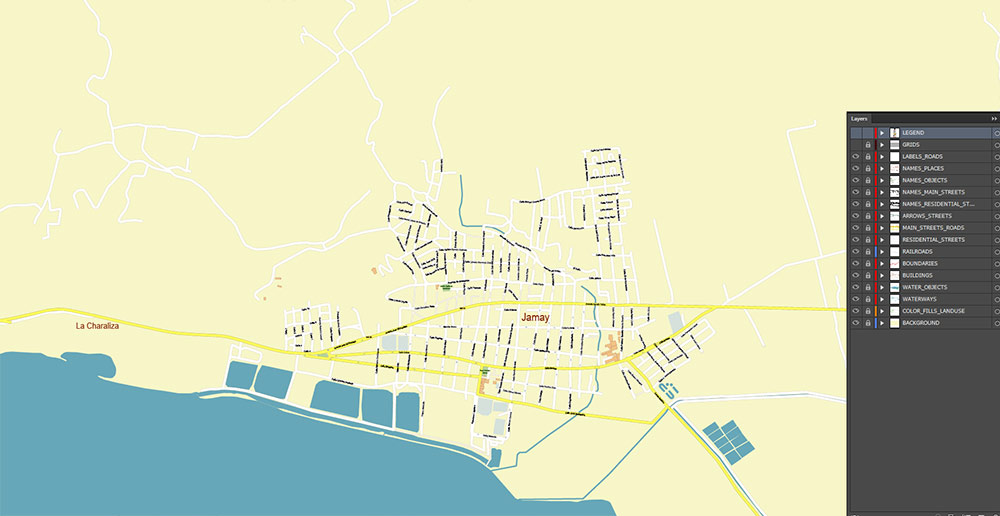
All street names, Main Objects, includes nearby towns and villages. Map for design, printing, arts, projects, presentations, for architects, designers, and builders, business, logistics.
Also: We can add (additional layer for this map), any other objects for you. It’s free for our customers.
If you need any OTHER format – or something else – please, email us
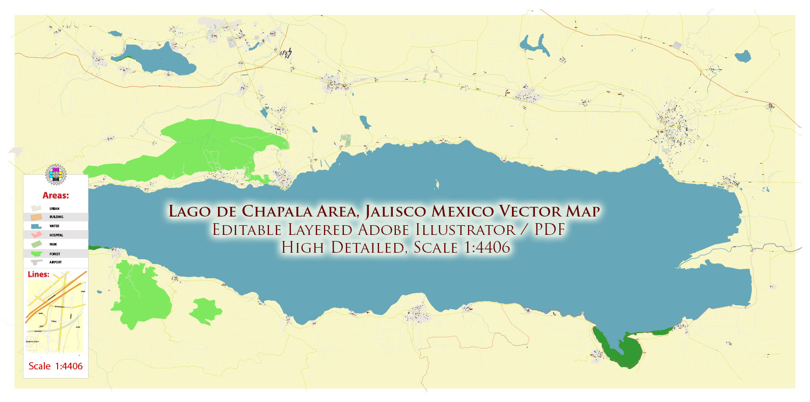
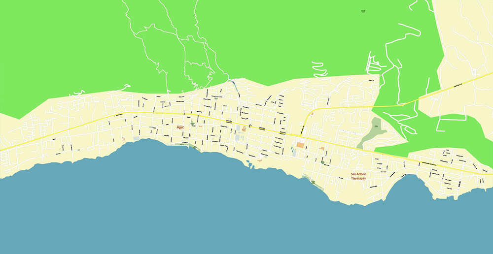
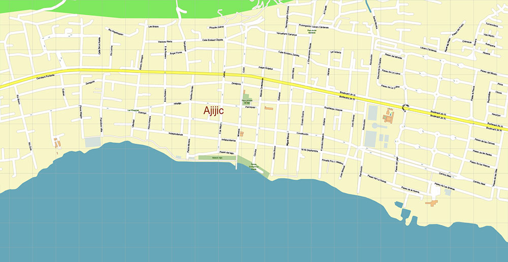
Lago de Chapala Area Jalisco Mexico Map Vector High Detailed Street Map editable Adobe Illustrator in layers
Layers list:
- Legend
- Grids
- Labels of roads
- Names of places
- Names of objects (hospitals, parks, water)
- Names main streets
- Names local streets
- Arrows of street directions
- Main streets and roads
- Local streets and roads
- Boundaries
- Railroads
- Buildings
- Waterways
- Water and wetland areas
- Land use areas
- Background
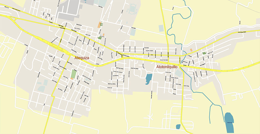
Lago de Chapala Area Jalisco Mexico Map Vector High Detailed Street Map editable Adobe Illustrator in layers
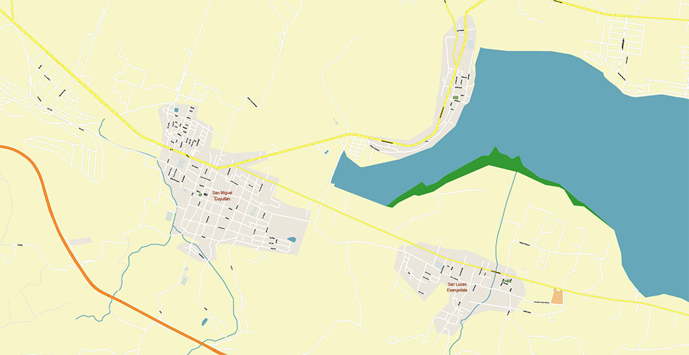
Lago de Chapala Area Jalisco Mexico Map Vector High Detailed Street Map editable Adobe Illustrator in layers
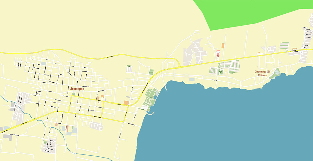
Lago de Chapala Area Jalisco Mexico Map Vector High Detailed Street Map editable Adobe Illustrator in layers
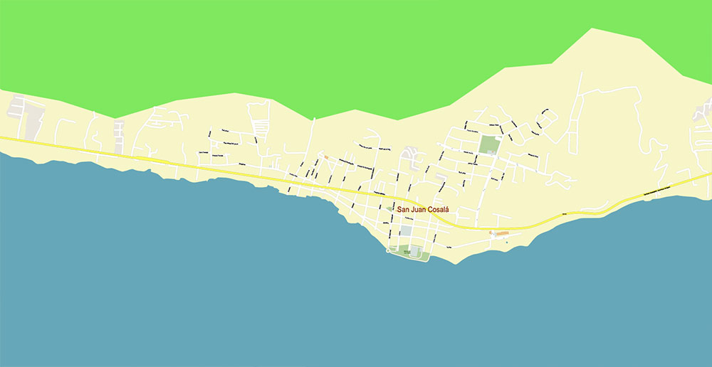
Lago de Chapala Area Jalisco Mexico Map Vector High Detailed Street Map editable Adobe Illustrator in layers
Lago de Chapala Area Jalisco Mexico Map Vector High Detailed Street Map editable Adobe Illustrator in layers
Lago de Chapala Area Jalisco Mexico Map Vector High Detailed Street Map editable Adobe Illustrator in layers
Lago de Chapala Area Jalisco Mexico Map Vector High Detailed Street Map editable Adobe Illustrator in layers
Lago de Chapala Area Jalisco Mexico Map Vector High Detailed Street Map editable Adobe Illustrator in layers
Lago de Chapala Area Jalisco Mexico Map Vector High Detailed Street Map editable Adobe Illustrator in layers

 Author: Kirill Shrayber, Ph.D. FRGS