Extended Description of the Vector Map
Printable Vector Map of Krasnoyarsk area USSR 1980 Military / KGB edition detailed fully editable Adobe Illustrator Street Map in layers, scalable, text / curves format all names in Russian, 9 MB ZIP
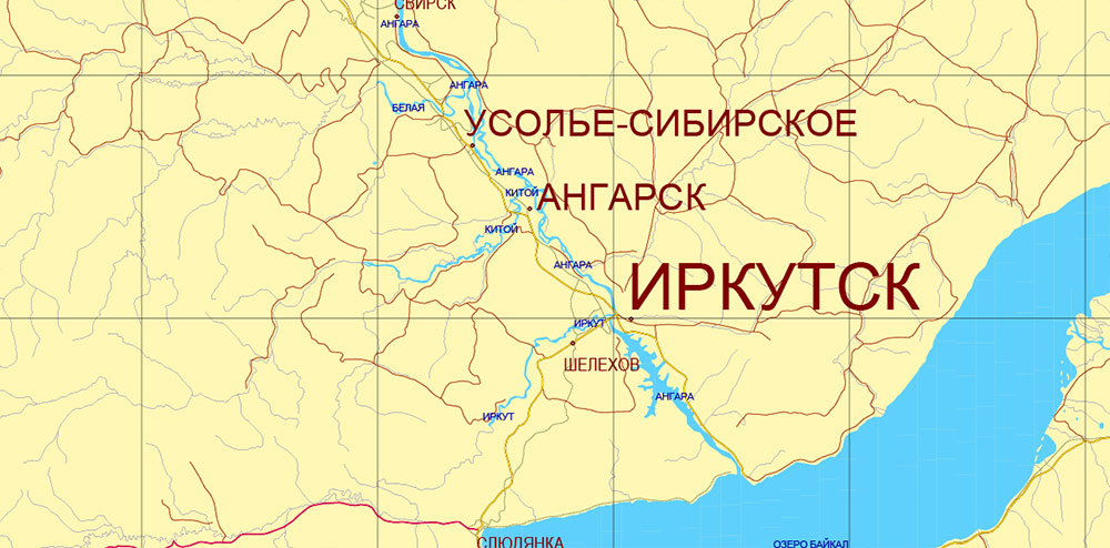
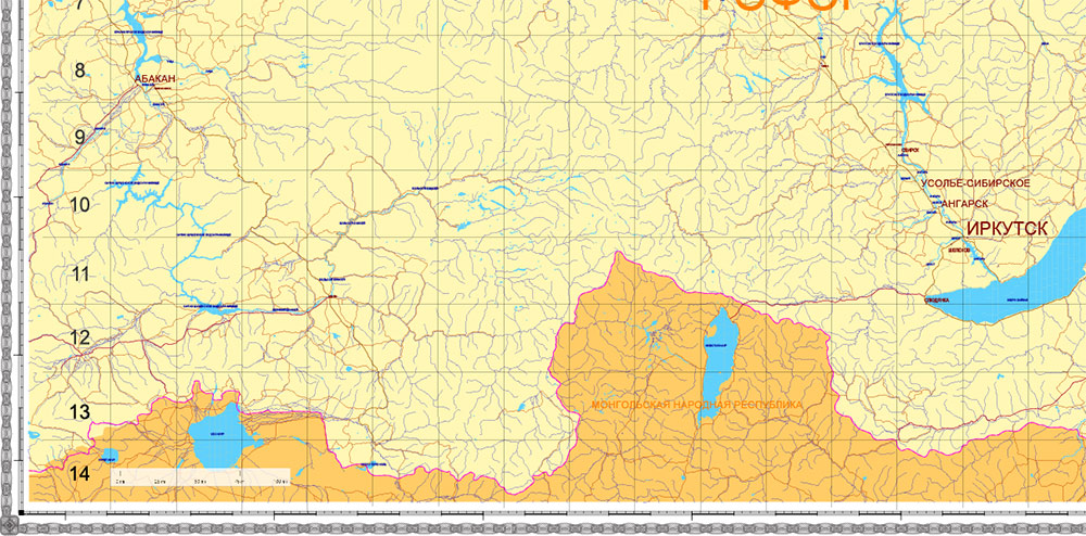
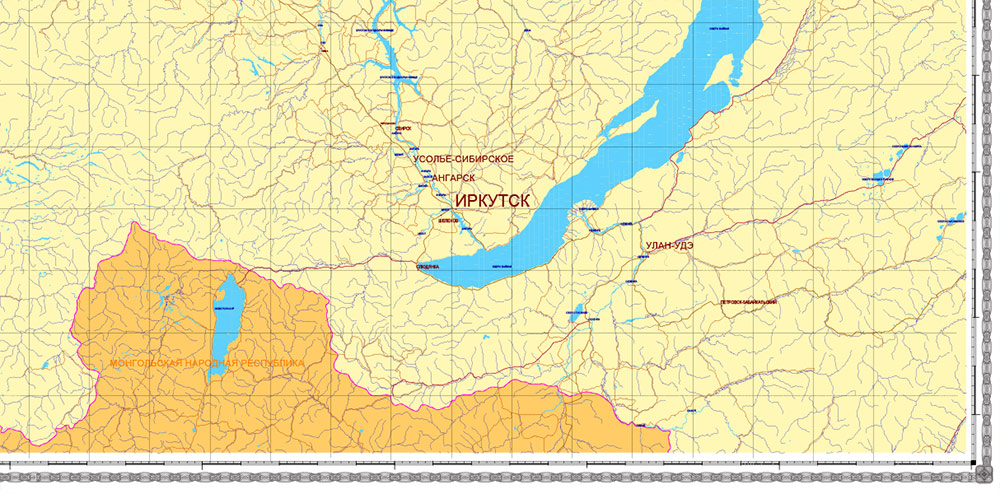
City names, water names. Map for design, printing, arts, projects, presentations, for architects, designers, and builders, business, logistics.
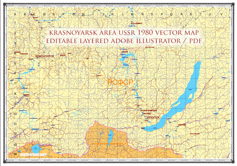
Krasnoyarsk area USSR 1980 vector map military edition (RUSSIAN NAMES) editable layered Adobe Illustrator
Layers list:
- Grids
- Names of places
- points places
- Names water objects
- Main Streets, roads
- Boundaries
- Railroads
- Waterways
- Water objects (rivers, lakes, ponds)
- Background
Exact and detailed map of the region in scale.
For Editing and High-Quality Printing
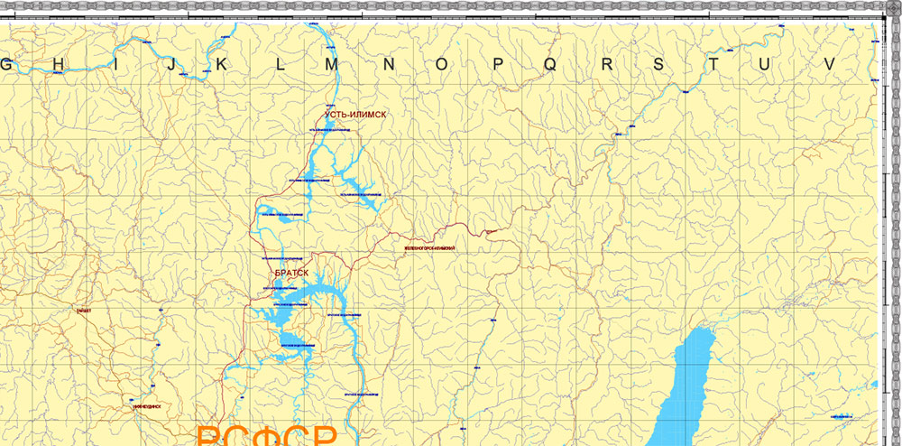
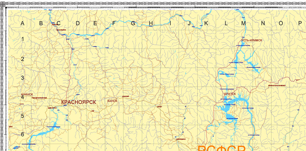
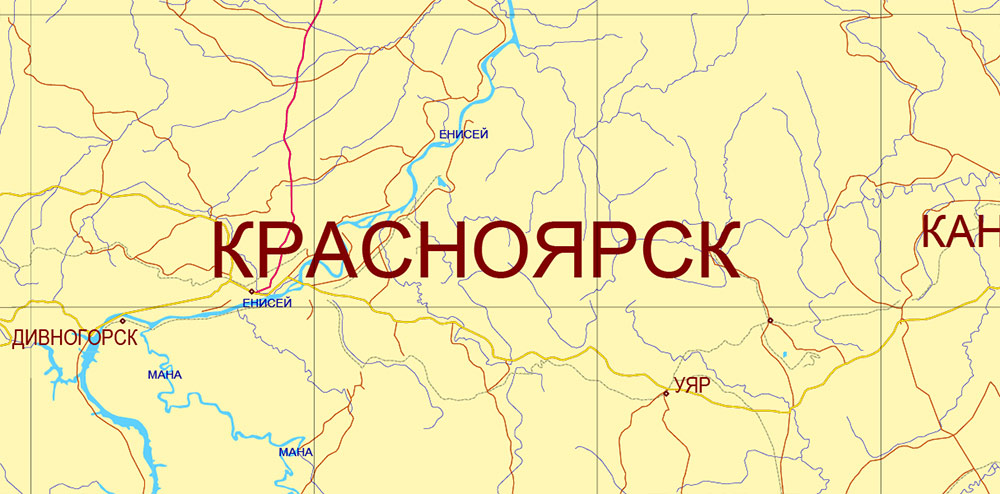
Krasnoyarsk area USSR 1980 vector map military edition (RUSSIAN NAMES) editable layered Adobe Illustrator
Krasnoyarsk area USSR 1980 vector map military edition (RUSSIAN NAMES) editable layered Adobe Illustrator
Krasnoyarsk area USSR 1980 vector map military edition (RUSSIAN NAMES) editable layered Adobe Illustrator
Krasnoyarsk area USSR 1980 vector map military edition (RUSSIAN NAMES) editable layered Adobe Illustrator
Krasnoyarsk area USSR 1980 vector map military edition (RUSSIAN NAMES) editable layered Adobe Illustrator
Krasnoyarsk area USSR 1980 vector map military edition (RUSSIAN NAMES) editable layered Adobe Illustrator

 Author: Kirill Shrayber, Ph.D. FRGS
 editable layered Adobe Illustrator")
 editable layered Adobe Illustrator")

