Extended Description of the Vector Map
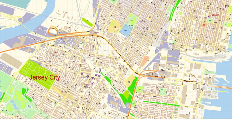
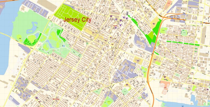
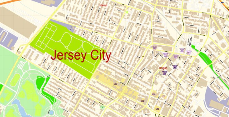
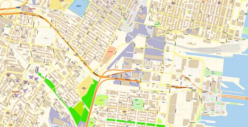
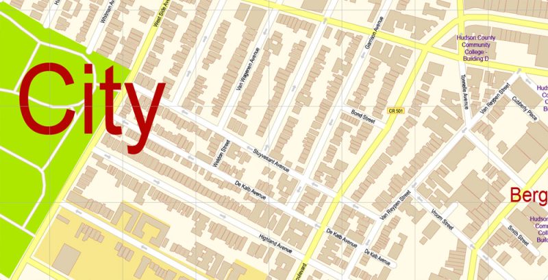
Printable Vector Map of Jersey City New Jersey US detailed City Plan scale 100 m 1:3560 full editable Adobe Illustrator Street Map in layers, scalable, text format all names, 9 MB ZIP
All street names, Main Objects, Buildings. Map for design, printing, arts, projects, presentations, for architects, designers, and builders, business, logistics.
Layers: color_fills, water, streets_roads, labels_roads, names_objects, names_streets, names_places, arrows_streets, buildings, grids, legend, etc.
The most exact and detailed map of the city in scale.
For Editing and High-Quality Printing
Jersey City
City in New Jersey
Jersey City is in northeastern New Jersey. Its eastern waterfront faces the Hudson River where it meets Upper New York Bay. Liberty State Park has panoramic views of the Manhattan skyline, the Statue of Liberty and Ellis Island, the former immigrant gateway. The park’s Liberty Science Center features interactive exhibits, live animals and an IMAX Dome theater. Bars and ethnic eateries line downtown’s Grove Street.
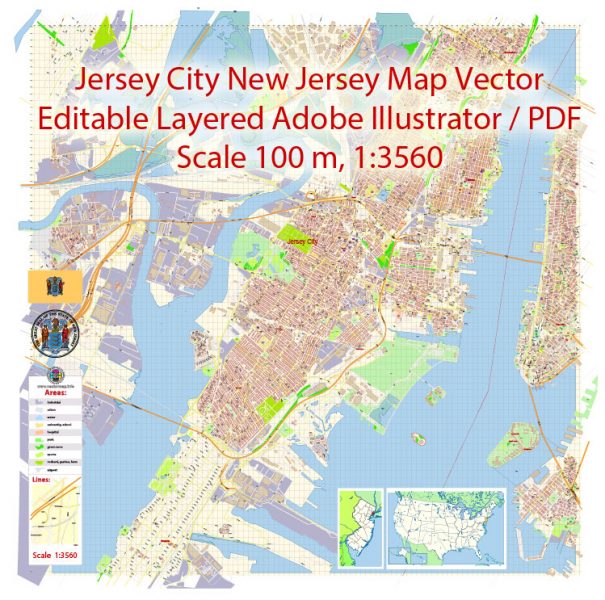
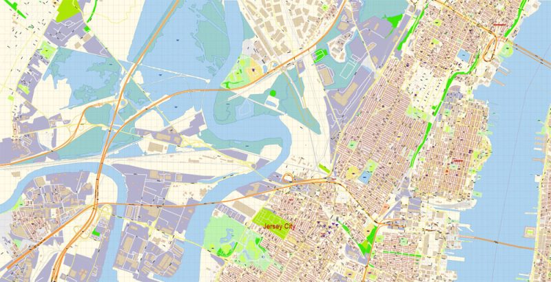
Jersey City New Jersey Map Vector Exact City Plan detailed Street Map editable Adobe Illustrator in layers
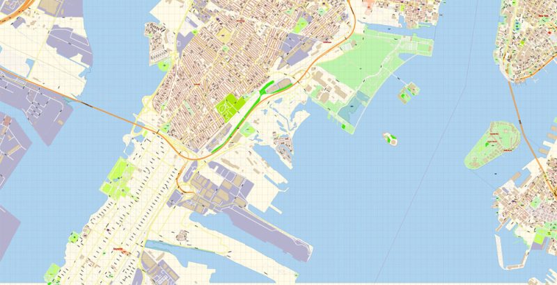
Jersey City New Jersey Map Vector Exact City Plan detailed Street Map editable Adobe Illustrator in layers
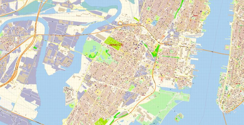
Jersey City New Jersey Map Vector Exact City Plan detailed Street Map editable Adobe Illustrator in layers
Jersey City New Jersey Map Vector Exact City Plan detailed Street Map editable Adobe Illustrator in layers
Jersey City New Jersey Map Vector Exact City Plan detailed Street Map editable Adobe Illustrator in layers
Jersey City New Jersey Map Vector Exact City Plan detailed Street Map editable Adobe Illustrator in layers
Jersey City New Jersey Map Vector Exact City Plan detailed Street Map editable Adobe Illustrator in layers
Jersey City New Jersey Map Vector Exact City Plan detailed Street Map editable Adobe Illustrator in layers
Jersey City New Jersey Map Vector Exact City Plan detailed Street Map editable Adobe Illustrator in layers


 Author: Kirill Shrayber, Ph.D. FRGS

