Extended Description of the Vector Map
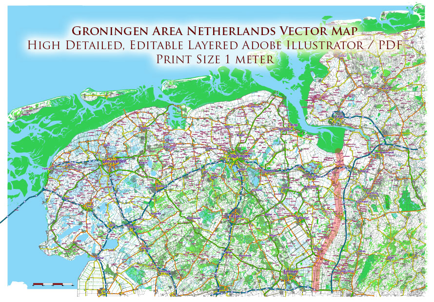
Printable Vector Map of Groningen Netherlands Area High detailed road map fully editable Layered Adobe Illustrator scalable, curves\text format all names, 56 MB ZIP
Large Area: Includes Northern part of Netherlands and the North-West part of Germany. Road shields and numbers.
All street and roads, Water Objects, Railroads, Urban areas, Green zones, Main cities and towns. Map for design, printing, arts, projects, presentations, for architects, designers, and builders, business, logistics.
Printing size: 1 meter
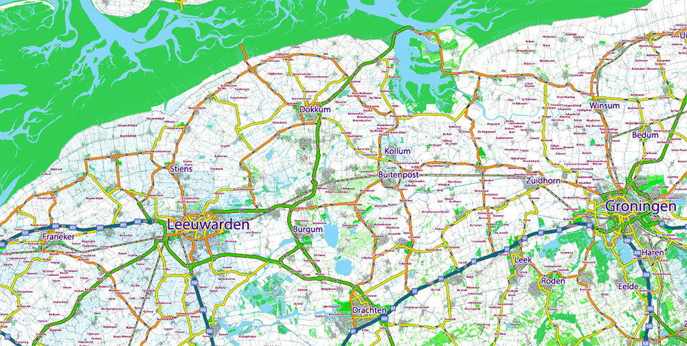
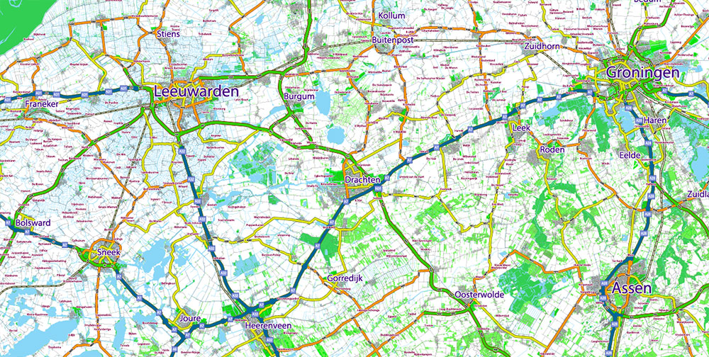
Groningen Netherlands Area Large Map Vector Exact City Plan High Detailed Road Map editable Adobe Illustrator in layers
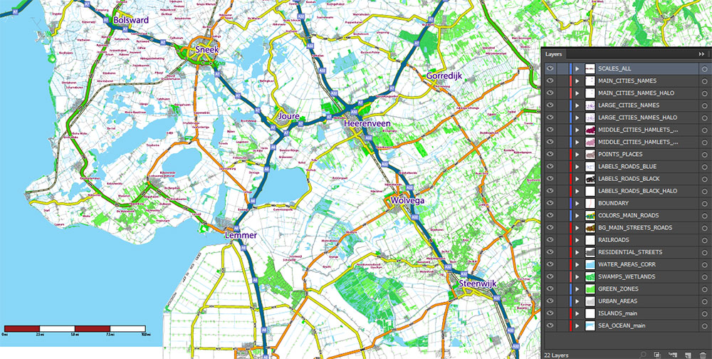
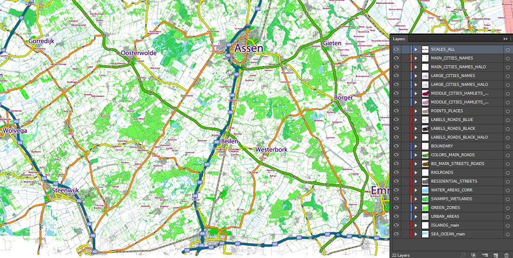
Layers list:
- Scale.
- Names of places (city, town, etc.)
- Numbers of roads
- Main Streets, roads
- Residential streets
- Railroads
- Green zones (forest, park)
- Urban areas
- Water objects (rivers, lakes, ponds, channels)
- Wetlands and swamps
- Islands
- Background and Sea
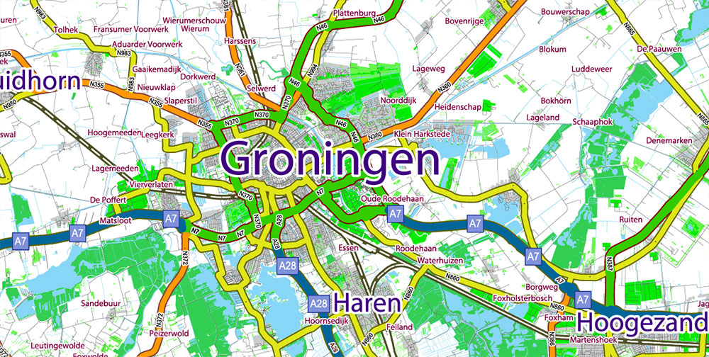
The most exact and detailed map of the city in scale.
For Editing and High-Quality Printing
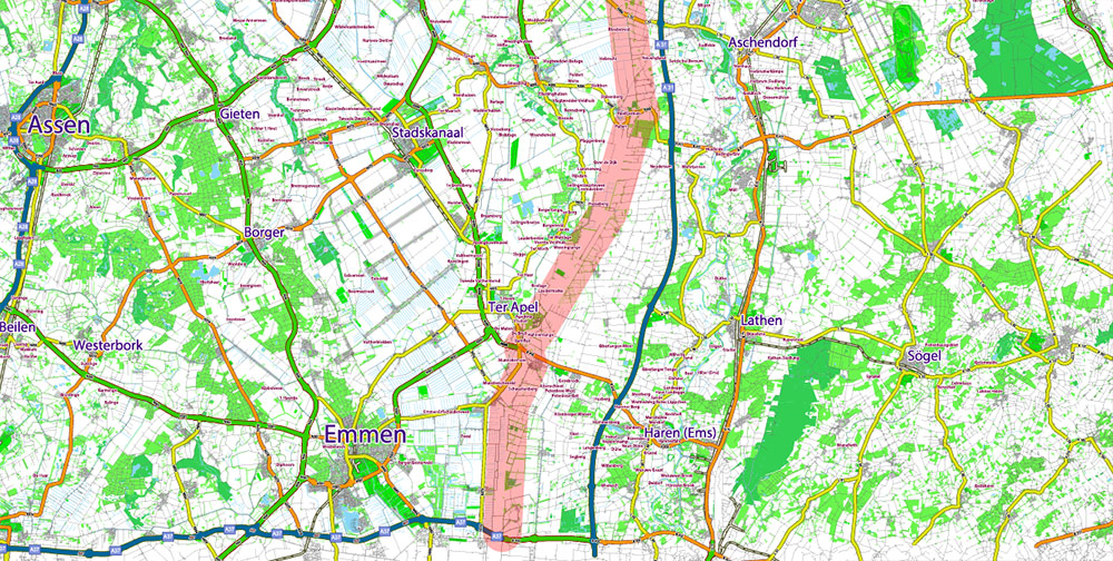
Groningen Netherlands Area Large Map Vector Exact City Plan High Detailed Road Map editable Adobe Illustrator in layers
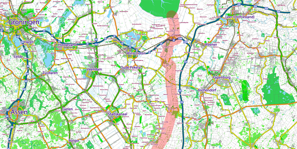
Groningen Netherlands Area Large Map Vector Exact City Plan High Detailed Road Map editable Adobe Illustrator in layers
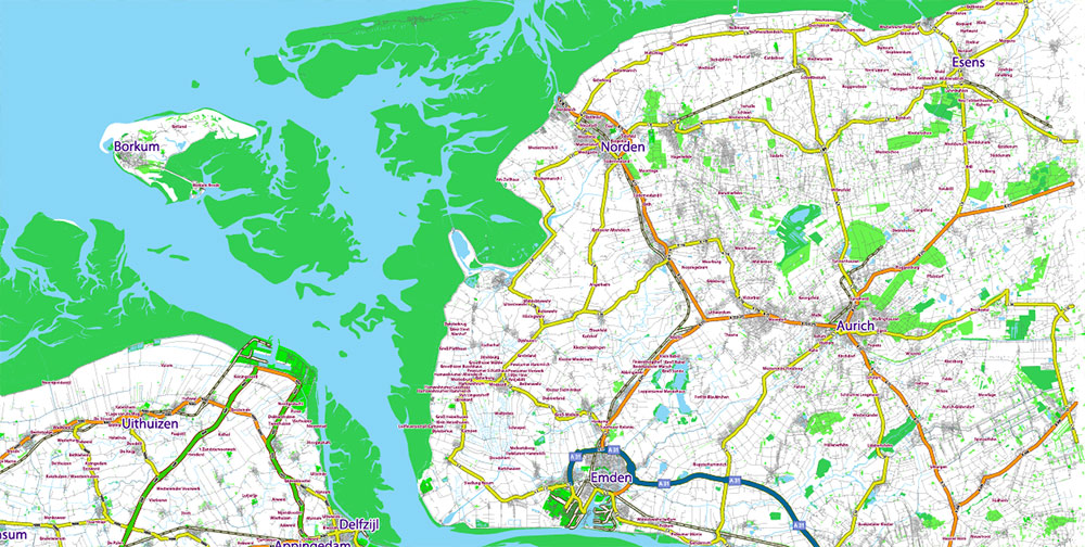
Groningen Netherlands Area Large Map Vector Exact City Plan High Detailed Road Map editable Adobe Illustrator in layers
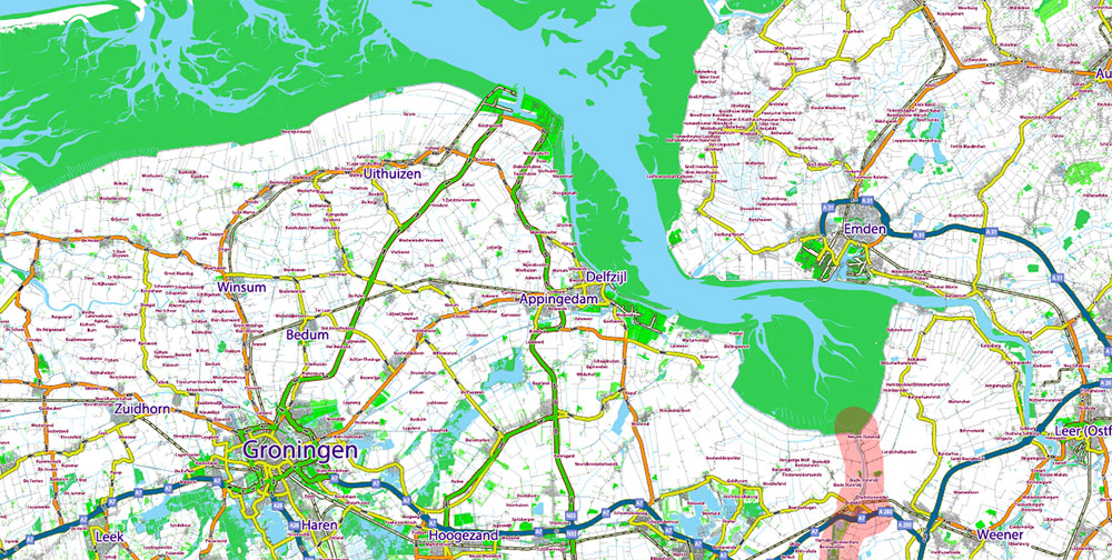
Groningen Netherlands Area Large Map Vector Exact City Plan High Detailed Road Map editable Adobe Illustrator in layers
Groningen Netherlands Area Large Map Vector Exact City Plan High Detailed Road Map editable Adobe Illustrator in layers
Groningen Netherlands Area Large Map Vector Exact City Plan High Detailed Road Map editable Adobe Illustrator in layers
Groningen Netherlands Area Large Map Vector Exact City Plan High Detailed Road Map editable Adobe Illustrator in layers
Groningen Netherlands Area Large Map Vector Exact City Plan High Detailed Road Map editable Adobe Illustrator in layers
Groningen Netherlands Area Large Map Vector Exact City Plan High Detailed Road Map editable Adobe Illustrator in layers

 Author: Kirill Shrayber, Ph.D. FRGS