Extended Description of the Vector Map
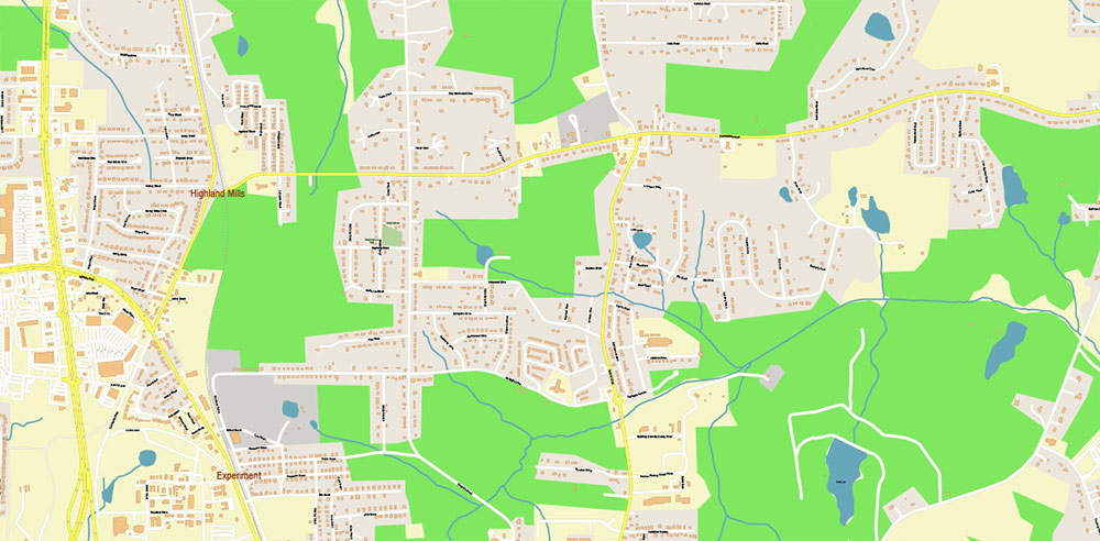
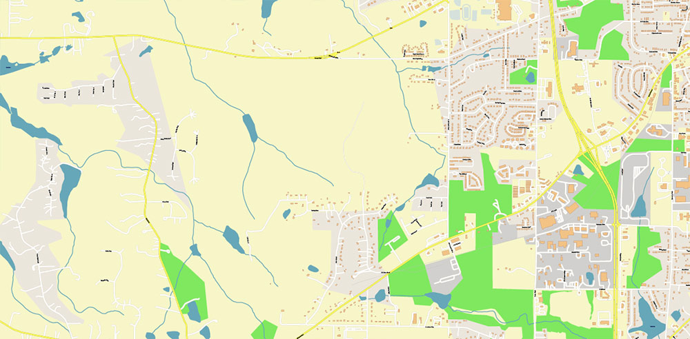
Printable PDF Vector Map of Griffin Georgia USA detailed street map scale 1:3928 full editable Adobe PDF scalable, text / curves format all names, 7 MB ZIP
All street names, Main Objects, Buildings. Map for design, printing, arts, projects, presentations, for architects, designers, and builders, business, logistics.

Griffin Georgia USA PDF Map Vector Exact City Plan High Detailed Street Map editable Adobe PDF in layers
Layers list:
- Legend
- Grids
- Labels of roads
- Names of places (city, hamlet, etc.)
- Names of objects (hospitals, parks, water)
- Names of main streets
- Names of civil streets
- Arrows of streets
- Main Streets, roads
- Civil streets
- Railroads
- Buildings
- Water objects (rivers, lakes, ponds)
- Waterways
- Color fills (parks, hospital areas, land use, etc.)
- Background
The most exact and detailed map of the city in scale.
For Editing and High-Quality Printing
Geographical Overview of Griffin, Georgia
Griffin is situated in the central portion of the state of Georgia, United States, and serves as the county seat of Spalding County. The city is part of the Atlanta metropolitan area, located approximately 35 miles south of downtown Atlanta. Its geographic coordinates are approximately 33.2468° N latitude and 84.2641° W longitude.
Area and Topography
Griffin covers a total area of about 14.1 to 14.6 square miles (36.5 to 38 km²), with the vast majority being land-around 13.9 to 14.5 square miles (36.2 to 38 km²). Water bodies make up a small fraction of the city’s area, accounting for only about 0.1 to 0.14 square miles (0.26 to 0.35 km²), or roughly 0.55% of the total area. The city sits at an elevation of approximately 978 feet (298 meters) above sea level.
Physical Features and Landscape
Griffin’s landscape is typical of the Piedmont region of Georgia, characterized by gently rolling hills and a mix of urban development and green spaces. The city is home to several parks, including Griffin City Park and Airport Road Park, and features recreational amenities such as the Griffin Golf Course and the Spalding County Pickleball Complex. The area is interspersed with small creeks and is not dominated by large bodies of water.
Climate
Griffin experiences a humid subtropical climate, with hot, humid summers and mild winters. This climate supports a variety of vegetation, including the iris flower, which has earned Griffin the nickname “The Iris City”.
Transportation and Accessibility
The city benefits from its proximity to major transportation routes. U.S. Routes 19 and 41 run through Griffin, providing direct access to Atlanta and other regional destinations. The Griffin-Spalding County Airport serves the area, and Hartsfield-Jackson Atlanta International Airport is about 57 km (35 miles) to the north, making air travel convenient for residents and businesses.
Urban Structure and Landmarks
Griffin’s urban core includes the Griffin Commercial Historic District, which is listed on the National Register of Historic Places and features historic buildings and landmarks such as the International Order of Odd Fellows Building and the Griffin Regional Welcome Center. The city’s layout combines residential neighborhoods, commercial districts, and educational institutions, including a branch of Southern Crescent Technical College and a University of Georgia campus.
Summary Table: Key Geographical Facts
Feature Description
Location Central Georgia, Spalding County
Coordinates 33.2468° N, 84.2641° W
Area 14.1–14.6 sq mi (36.5–38 km²)
Land Area 13.9–14.5 sq mi (36.2–38 km²)
Water Area 0.1–0.14 sq mi (0.26–0.35 km²)
Elevation 978 ft (298 m)
Climate Humid subtropical
Major Roads U.S. Routes 19 & 41
Nearest Major Airport Hartsfield-Jackson Atlanta Intl. (57 km)
Notable Features Historic district, parks, educational centers
Nickname The Iris City
Griffin’s geography, with its strategic location near Atlanta, modest size, and blend of urban and green spaces, makes it a distinctive city in central Georgia

Griffin Georgia USA PDF Map Vector Exact City Plan High Detailed Street Map editable Adobe PDF in layers

Griffin Georgia USA PDF Map Vector Exact City Plan High Detailed Street Map editable Adobe PDF in layers

Griffin Georgia USA PDF Map Vector Exact City Plan High Detailed Street Map editable Adobe PDF in layers

Griffin Georgia USA PDF Map Vector Exact City Plan High Detailed Street Map editable Adobe PDF in layersGriffin Georgia USA PDF Map Vector Exact City Plan High Detailed Street Map editable Adobe PDF in layers

Griffin Georgia USA PDF Map Vector Exact City Plan High Detailed Street Map editable Adobe PDF in layers
Griffin Georgia USA PDF Map Vector Exact City Plan High Detailed Street Map editable Adobe PDF in layers

Griffin Georgia USA PDF Map Vector Exact City Plan High Detailed Street Map editable Adobe PDF in layers

Griffin Georgia USA PDF Map Vector Exact City Plan High Detailed Street Map editable Adobe PDF in layers

Griffin Georgia USA PDF Map Vector Exact City Plan High Detailed Street Map editable Adobe PDF in layers
Griffin Georgia USA PDF Map Vector Exact City Plan High Detailed Street Map editable Adobe PDF in layers

Griffin Georgia USA PDF Map Vector Exact City Plan High Detailed Street Map editable Adobe PDF in layers

 Author: Kirill Shrayber, Ph.D. FRGS

