Extended Description of the Vector Map
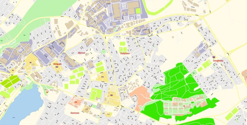
Printable PDF Vector Map of Galway Ireland detailed City Plan scale 1:2809 full editable Adobe PDF Street Map in layers, scalable, text format all names, 10 MB ZIP
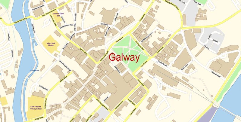
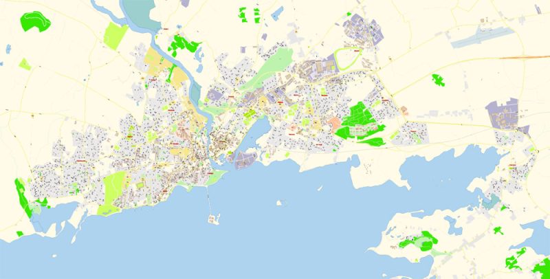
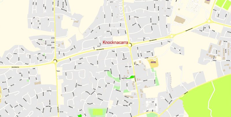
All street names, Main Objects, Buildings. Map for design, printing, arts, projects, presentations, for architects, designers, and builders, business, logistics.
Layers: color_fills, water, streets_roads, labels_roads, names_objects, names_streets, names_places, arrows_streets, buildings, grids, legend, etc.
The most exact and detailed map of the city in scale.
For Editing and High-Quality Printing
Galway
City in the Republic of Ireland
Galway, a harbor city on Ireland’s west coast, sits where the River Corrib meets the Atlantic Ocean. The city’s hub is 18th-century Eyre Square, a popular meeting spot surrounded by shops and traditional pubs that often offer live Irish folk music. Nearby, stone-clad cafes, boutiques, and art galleries line the winding lanes of the Latin Quarter, which retains portions of the medieval city walls.
Area: 54.2 km²
Elevation: 25 m
Population: 79,934 (2016)
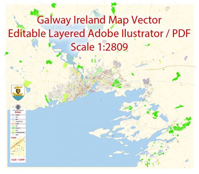
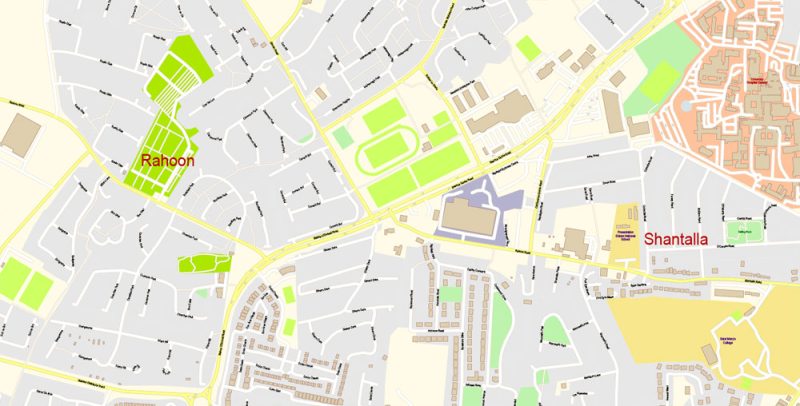
Galway Map Vector Ireland Exact City Plan detailed Street Map editable Adobe Illustrator in layers
Galway Map Vector Ireland Exact City Plan detailed Street Map editable Adobe Illustrator in layers
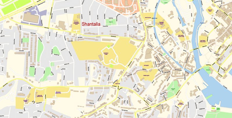
Galway Map Vector Ireland Exact City Plan detailed Street Map editable Adobe Illustrator in layers
Galway Map Vector Ireland Exact City Plan detailed Street Map editable Adobe Illustrator in layers
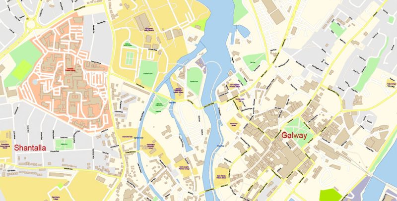
Galway Map Vector Ireland Exact City Plan detailed Street Map editable Adobe Illustrator in layers
Galway Map Vector Ireland Exact City Plan detailed Street Map editable Adobe Illustrator in layers
Galway Map Vector Ireland Exact City Plan detailed Street Map editable Adobe Illustrator in layers
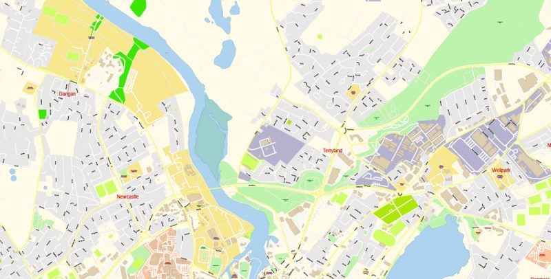
Galway Map Vector Ireland Exact City Plan detailed Street Map editable Adobe Illustrator in layers
Galway Map Vector Ireland Exact City Plan detailed Street Map editable Adobe Illustrator in layers


 Author: Kirill Shrayber, Ph.D. FRGS
