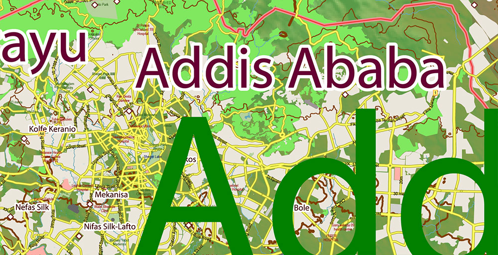
Ethiopia PDF Vector Map high detailed road map + admin areas + Relief + cities and water objects editable Layered Adobe PDF

$ 87
  • Instant download after payment
  • Commercial use license included (full)
  • Operated by SolCity Nav LLC (DE, USA)

You can use this map in commercial projects, prints, media, and client work.

SKU: 2026.15.11.ETH.REL.ISO.GVL13.PDF

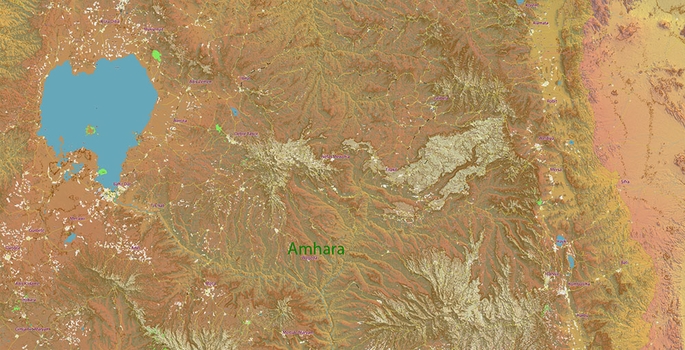
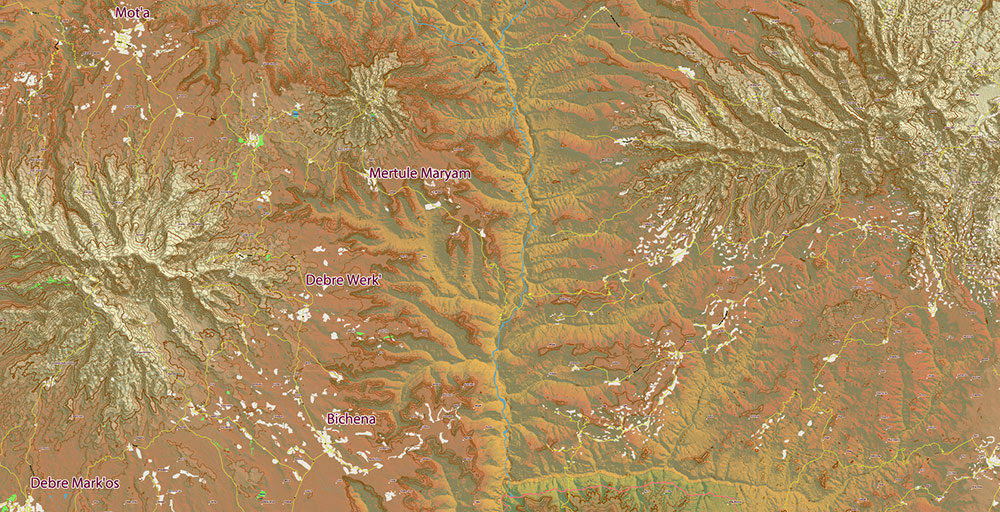
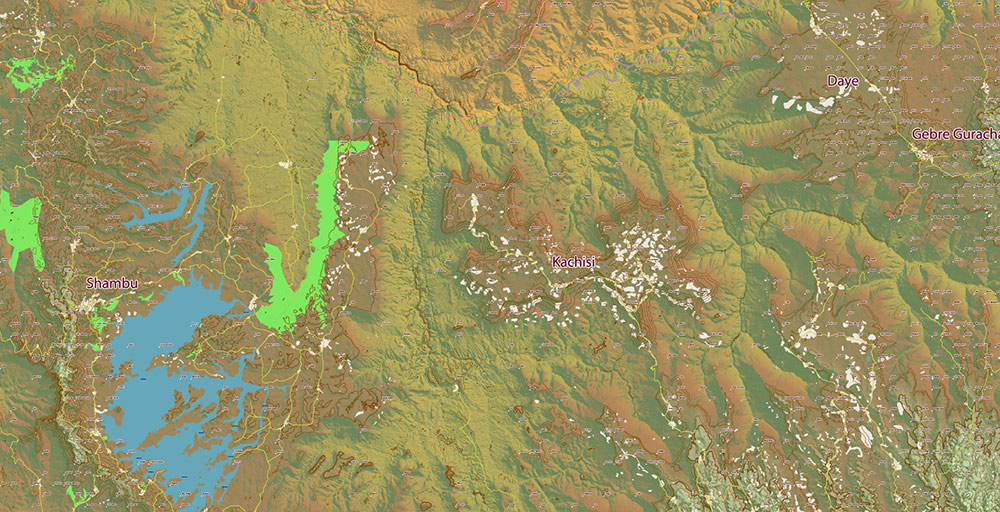
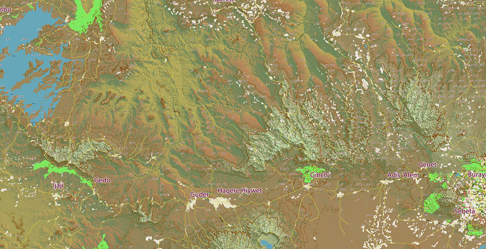
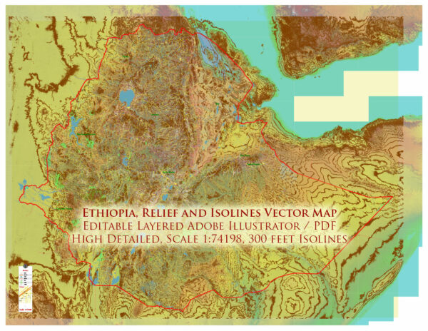
Printable PDF Vector Map Ethiopia high detailed road map + admin areas + cities + Relief + isolines 300 feet and water objects editable Layered Adobe PDF, scalable, editable text format of all names, 2,588.000 Mb ZIP.
Layered exact editable map:  Map for publishing, design, printing, publications, arts, projects, presentations, for architects, designers, and builders, business, logistics. The most exact and detailed map. GPS correct Mercator Projection.
For printing any format.

Please note:This country map is compiled from multiple, unrelated geodata sources. The state border line (according to the UN data) DOES NOT COINCIDE with the boundaries of the administrative territories of the country (according to the national geo-statistical bureau).
Please note:
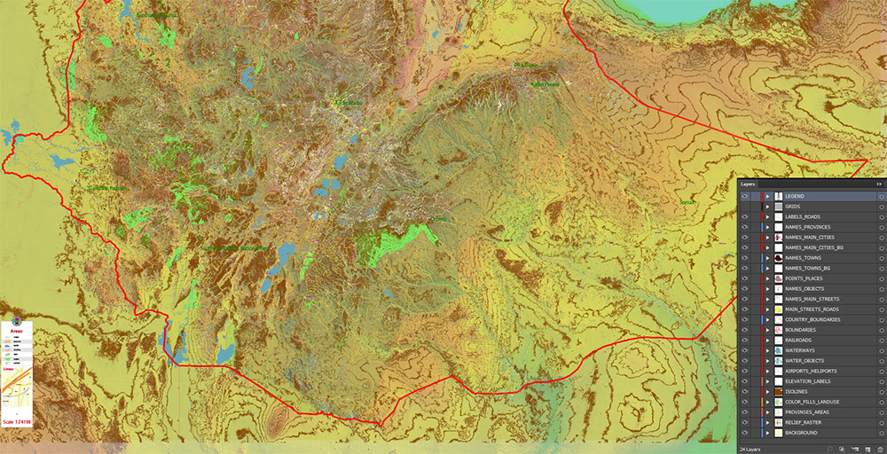
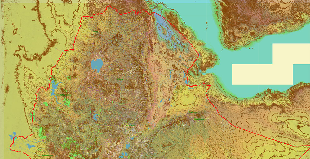
in the preview, ALL LAYERS are enabled and visible. Of course, you can easily turn off the layers you don’t need and the map will become much simpler.
DWG, DXF, CDR, ESRI Shapes, and other formats – by request, the same price, please contact. 
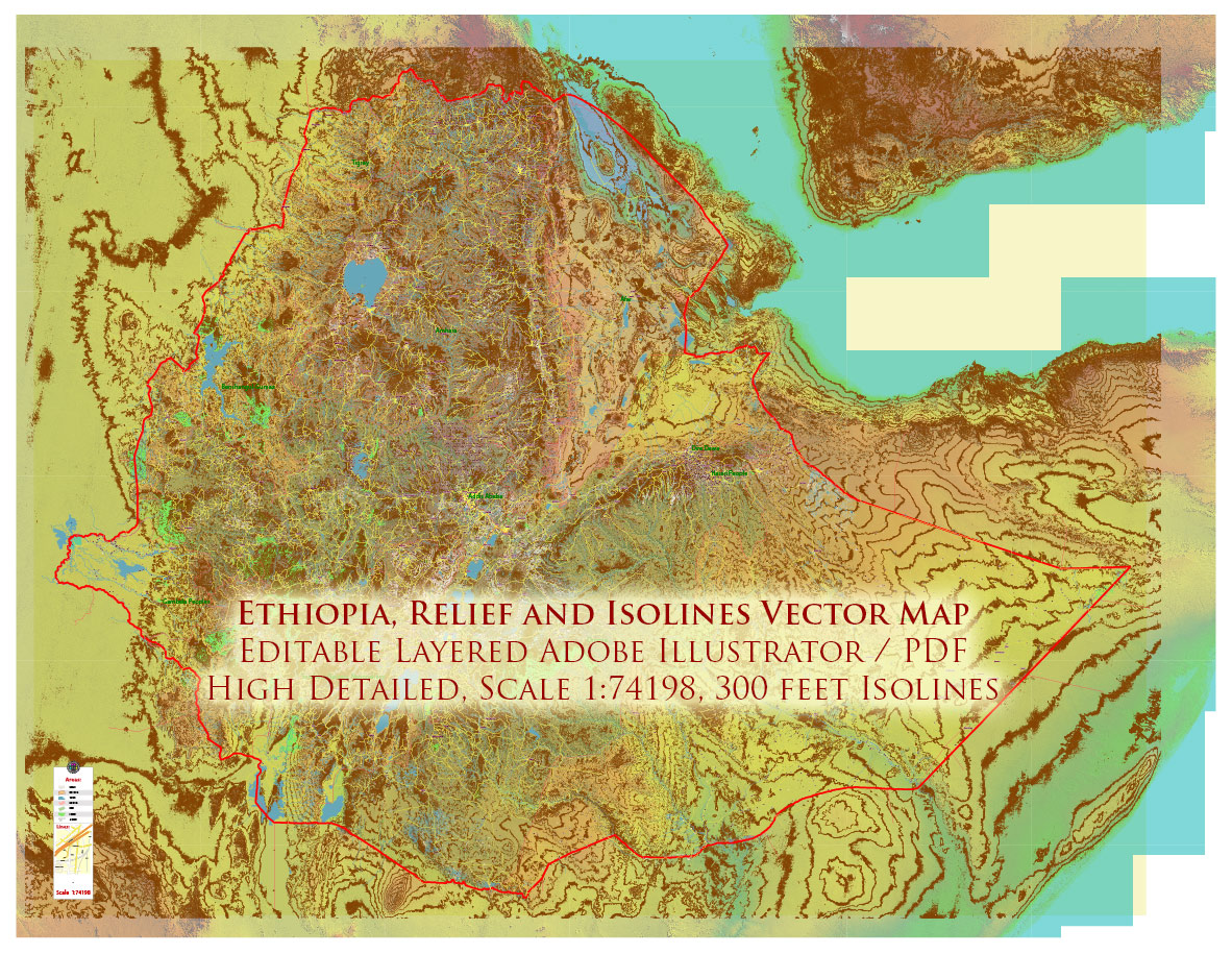
Separated layers:

  1. Legend
  2. Grids
  3. Names Geopoints (all known places)
  4. Names principal roads (some)
  5. Names Provinces
  6. Names main roads
  7. Main roads and streets
  8. Country boundaries
  9. Waterways
  10. Water areas
  11. Provinces areas
  12. Isolines 300 feet
  13. Land use areas
  14. Relief Raster HD 50% trans
  15. Background
We accept all  Debit or Credit Cards,
PayPal.  Instantly Download Your Map after payment. Verified Seller 15+ years.
  1. Home
  2. Africa maps
  3. Ethiopia Vector Maps
  4. Ethiopia PDF Vector Map high detailed road map + admin areas + Relief + cities and water objects editable Layered Adobe PDF
Precision Level (VPL):
VPL-13
Edition:
2026
Data Class:
Human-verified cartographic dataset
Street Coverage:
Major and secondary road
Building Footprints:
Not included
Attribute Data:
Street names included
Relief Data:
Included
Projection Handling:
Mercator projection, print-optimized output
Version Control:
Dataset version archived and traceable
Processing Pipeline:
Structured internal SKY classification system
Cartographic Control:
Manual validation and topology refinement

Map Data Specification

  • Data type: Vector cartographic dataset

  • Geometry: Polylines and polygons

  • Coordinate system: WGS84 geographic coordinates

  • Editing compatibility: Adobe Illustrator, vector graphic editors

  • Layer structure includes:

    • Road network (classified)

    • Hydrography (rivers, lakes, coastline)

    • Administrative boundaries

    • Landmass / coastline polygons

    • Optional relief or terrain lines (if included)

Cartographic Production Method

Vector Map Production Process

  1. Source Data Acquisition
    Open geographic datasets are collected and validated.

  2. Topology Cleaning
    Broken geometries, overlaps, and gaps are corrected.

  3. Layer Classification
    Roads, hydrography, boundaries, landmasses are separated into structured layers.

  4. Projection Handling
    Data is prepared in geographic coordinates suitable for design software.

  5. Cartographic Generalization
    Excess detail is reduced to improve readability at print scale.

  6. Manual Editing in Illustrator
    Final map is optimized for graphic design workflows.

Learn about the cartographic production process → Cartographic Technology

Extended Description of the Vector Map

Printable PDF Vector Map Ethiopia high detailed road map + admin areas + cities + Relief + isolines 300 feet and water objects editable Layered Adobe PDF, scalable, editable text format of all names, 2,588.000 Mb ZIP.
Layered exact editable map:  Map for publishing, design, printing, publications, arts, projects, presentations, for architects, designers, and builders, business, logistics. The most exact and detailed map. GPS correct Mercator Projection.
For printing any format.

Please note:This country map is compiled from multiple, unrelated geodata sources. The state border line (according to the UN data) DOES NOT COINCIDE with the boundaries of the administrative territories of the country (according to the national geo-statistical bureau).
Please note:
in the preview, ALL LAYERS are enabled and visible. Of course, you can easily turn off the layers you don’t need and the map will become much simpler.
DWG, DXF, CDR, ESRI Shapes, and other formats – by request, the same price, please contact. 

Ethiopia Vector Map Adobe Illustrator and PDF

Ethiopia PDF Vector Map high detailed road map + admin areas + Relief + cities and water objects editable Layered Adobe PDF
Separated layers:

  1. Legend
  2. Grids
  3. Names Geopoints (all known places)
  4. Names principal roads (some)
  5. Names Provinces
  6. Names main roads
  7. Main roads and streets
  8. Country boundaries
  9. Waterways
  10. Water areas
  11. Provinces areas
  12. Isolines 300 feet
  13. Land use areas
  14. Relief Raster HD 50% trans
  15. Background
Ethiopia Vector Map high detailed road map + admin areas + Relief + cities and water objects editable Layered Adobe Illustrator

Ethiopia PDF Vector Map high detailed road map + admin areas + Relief + cities and water objects editable Layered Adobe PDF
Ethiopia Vector Map high detailed road map + admin areas + Relief + cities and water objects editable Layered Adobe Illustrator

Ethiopia PDF Vector Map high detailed road map + admin areas + Relief + cities and water objects editable Layered Adobe PDF
Ethiopia Vector Map high detailed road map + admin areas + Relief + cities and water objects editable Layered Adobe Illustrator

Ethiopia PDF Vector Map high detailed road map + admin areas + Relief + cities and water objects editable Layered Adobe PDF
Ethiopia Vector Map high detailed road map + admin areas + Relief + cities and water objects editable Layered Adobe Illustrator

Ethiopia PDF Vector Map high detailed road map + admin areas + Relief + cities and water objects editable Layered Adobe PDF
Ethiopia Vector Map high detailed road map + admin areas + Relief + cities and water objects editable Layered Adobe Illustrator

Ethiopia PDF Vector Map high detailed road map + admin areas + Relief + cities and water objects editable Layered Adobe PDF
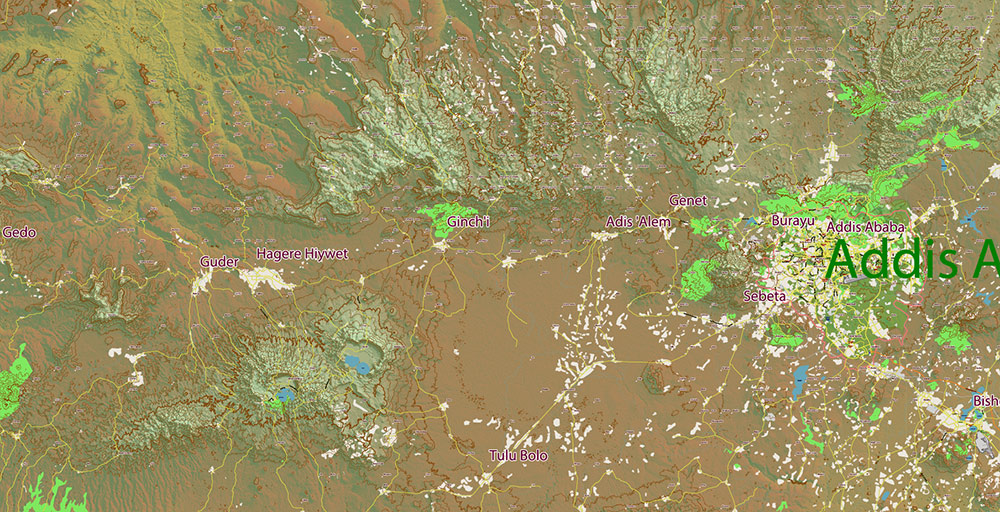
Ethiopia Vector Map high detailed road map + admin areas + Relief + cities and water objects editable Layered Adobe Illustrator

Ethiopia PDF Vector Map high detailed road map + admin areas + Relief + cities and water objects editable Layered Adobe PDF
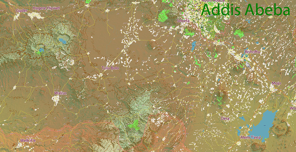
Ethiopia Vector Map high detailed road map + admin areas + Relief + cities and water objects editable Layered Adobe Illustrator

Ethiopia PDF Vector Map high detailed road map + admin areas + Relief + cities and water objects editable Layered Adobe PDF
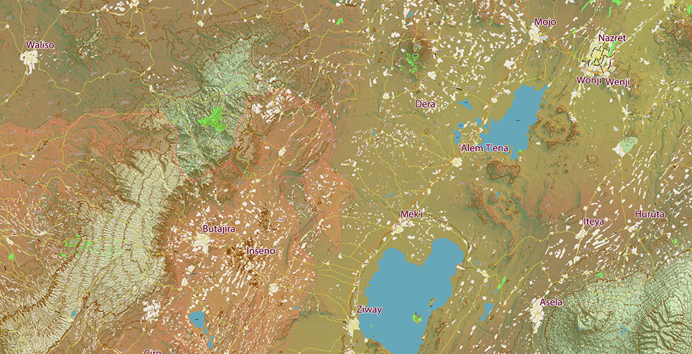
Ethiopia Vector Map high detailed road map + admin areas + Relief + cities and water objects editable Layered Adobe Illustrator

Ethiopia PDF Vector Map high detailed road map + admin areas + Relief + cities and water objects editable Layered Adobe PDF
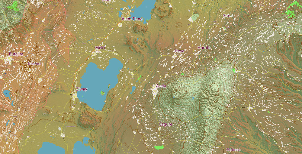
Ethiopia Vector Map high detailed road map + admin areas + Relief + cities and water objects editable Layered Adobe Illustrator

Ethiopia PDF Vector Map high detailed road map + admin areas + Relief + cities and water objects editable Layered Adobe PDF
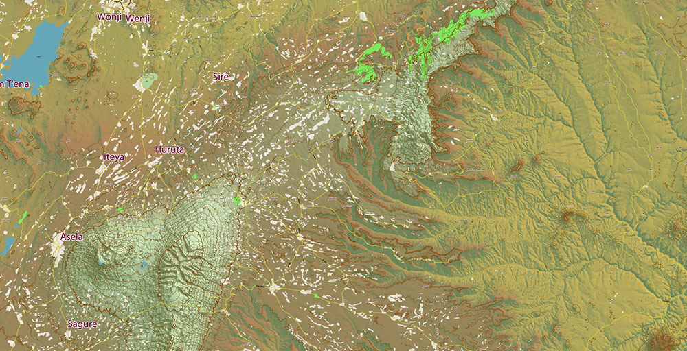
Ethiopia Vector Map high detailed road map + admin areas + Relief + cities and water objects editable Layered Adobe Illustrator

Ethiopia PDF Vector Map high detailed road map + admin areas + Relief + cities and water objects editable Layered Adobe PDF
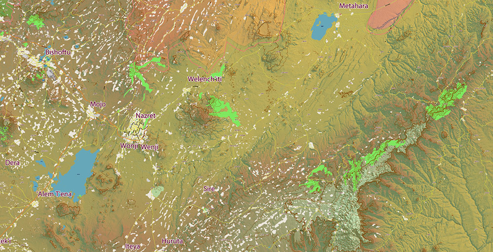
Ethiopia Vector Map high detailed road map + admin areas + Relief + cities and water objects editable Layered Adobe Illustrator

Ethiopia PDF Vector Map high detailed road map + admin areas + Relief + cities and water objects editable Layered Adobe PDF
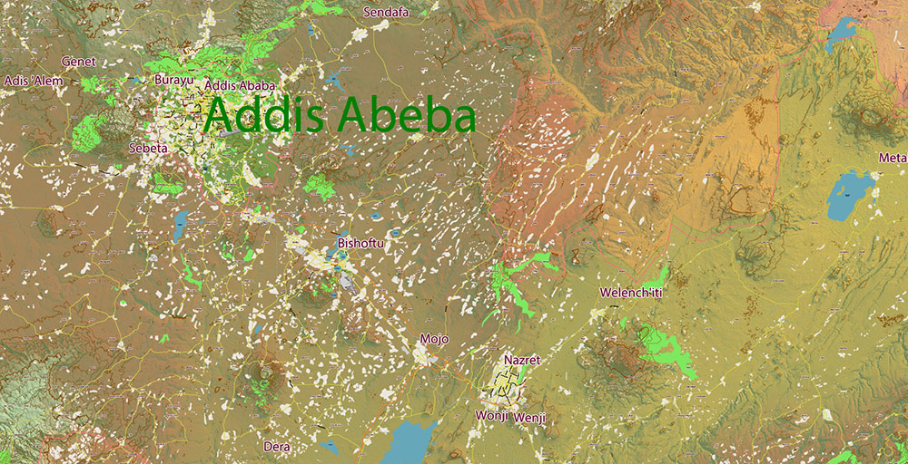
Ethiopia Vector Map high detailed road map + admin areas + Relief + cities and water objects editable Layered Adobe Illustrator

Ethiopia PDF Vector Map high detailed road map + admin areas + Relief + cities and water objects editable Layered Adobe PDF
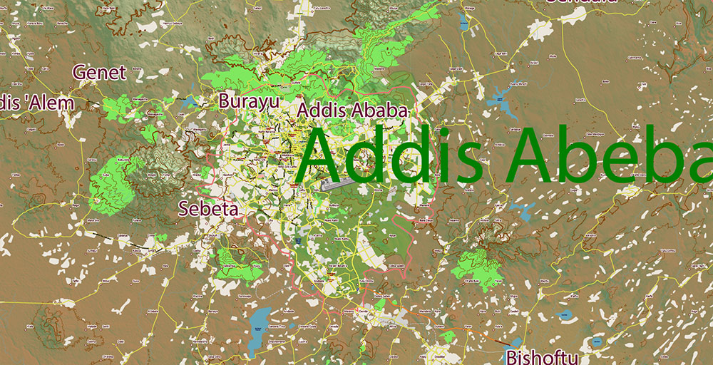
Ethiopia Vector Map high detailed road map + admin areas + Relief + cities and water objects editable Layered Adobe Illustrator

Ethiopia PDF Vector Map high detailed road map + admin areas + Relief + cities and water objects editable Layered Adobe PDF
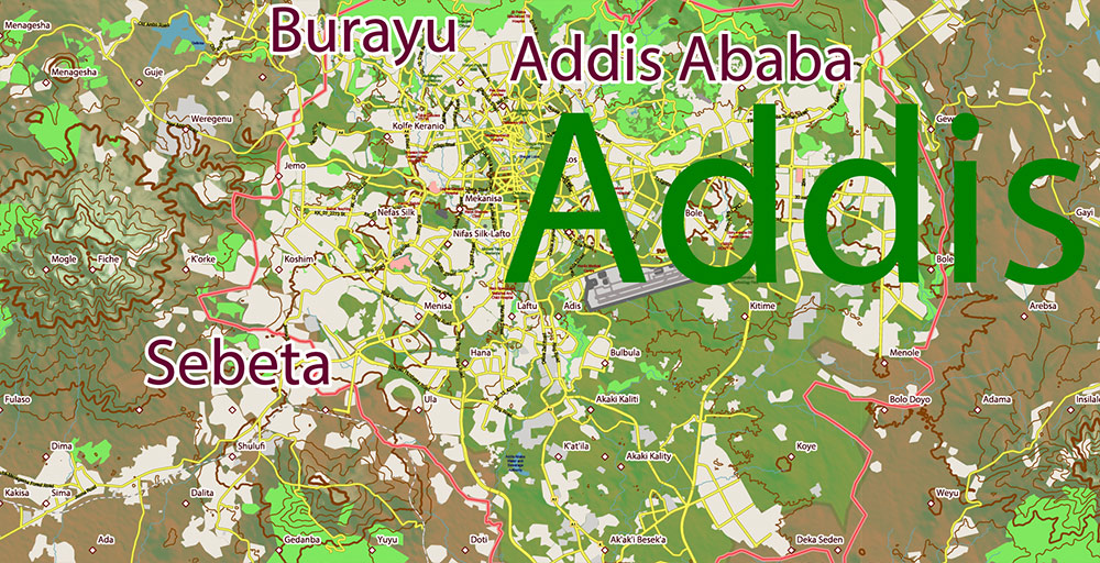
Ethiopia Vector Map high detailed road map + admin areas + Relief + cities and water objects editable Layered Adobe Illustrator

Ethiopia PDF Vector Map high detailed road map + admin areas + Relief + cities and water objects editable Layered Adobe PDF
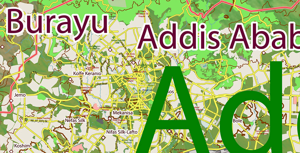
Ethiopia Vector Map high detailed road map + admin areas + Relief + cities and water objects editable Layered Adobe Illustrator

Ethiopia PDF Vector Map high detailed road map + admin areas + Relief + cities and water objects editable Layered Adobe PDF


Ethiopia Vector Map high detailed road map + admin areas + Relief + cities and water objects editable Layered Adobe Illustrator

Ethiopia PDF Vector Map high detailed road map + admin areas + Relief + cities and water objects editable Layered Adobe PDF

Ethiopia Vector Map high detailed road map + admin areas + Relief + cities and water objects editable Layered Adobe Illustrator

Ethiopia PDF Vector Map high detailed road map + admin areas + Relief + cities and water objects editable Layered Adobe PDF

WhatsApp us! If you have any questions, please, feel free to contact us via WhatsApp +1.809.8462286
We reply within a 2 hours (UTC-4)
AutoCAD Map Ethiopia, City Map Ethiopia, City Plan Ethiopia, CorelDraw Map Ethiopia, DWG Map Ethiopia, DXF Map Ethiopia, Editable Map Ethiopia, Ethiopia City Vector Map: PDF and Adobe Illustrator, Ethiopia Map, Illustrator Map Ethiopia, Map Ethiopia for Printing, PDF Map Ethiopia, printable map Ethiopia, Road Map Ethiopia, Street Map Ethiopia, Tourist Map Ethiopia, Urban Plan Ethiopia
Africa maps, Ethiopia Vector Maps
Author: Kirill Shrayber, Ph.D. FRGS
I have been working with vector cartography for over 25 years, including GPS, GIS, Adobe Illustrator and other professional cartographic software.
Linkedin: https://www.linkedin.com/in/kirill-shrayber-0b839325/
Twitter: https://twitter.com/vectormapper
Wikipedia: https://meta.wikimedia.org/wiki/User:Vectormapper

See more maps of this city / area / state / country

Menu
NEED HELP? WE ARE ONLINE