Extended Description of the Vector Map
Printable PDF Map Edmonton, Canada, exact vector City Plan full editable, Adobe PDF scalable editable text format all names 59 mb ZIP
All streets names, Main Objects. Map for design, printing, arts, projects, presentations, for architects, designers and builders, business, logistics.
Layers: color_fills , streets_roads, objects (parks, water objects, hospitals, schools), names_streets2, arrows_streets, legend, grids etc..
The most exact and detailed map of the city.
For print LARGE (WALL) format.
DWG, DXF, CDR and other formats – on request, same price, please, contact
Edmonton
City in Alberta, Canada
Edmonton, capital of Canada’s Alberta province, sits on the North Saskatchewan River. Its past is recreated at Fort Edmonton Park, a living history museum with an 1846 fort and streets from 1885, 1905 and 1920. The city’s contemporary landmarks include the Royal Alberta Museum, with aboriginal-culture and natural-history galleries, and the futuristic-looking Art Gallery of Alberta, known for its First Nations art.
Area
• Land 685.25 km2 (264.58 sq mi)
• Urban 572.69 km2 (221.12 sq mi)
• Metro 9,438.86 km2 (3,644.36 sq mi)
Elevation 645 m (2,116 ft)
Population
• City 932,546
• Density 1,360.9/km2 (3,525/sq mi)
• Urban 1,062,643
• Urban density 1,855.5/km2 (4,806/sq mi)
• Metro 1,321,426 (6th)
• Metro density 140.0/km2 (363/sq mi)
• Municipal census 899,447[9]
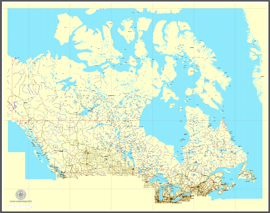
Download Free vector Map Canada, mainroads, cities, borders, province borders, Adobe Illustrator Text format street names, full editable, Layers: grownd, nombres, borders, symbols, halo
vector_map_canada_mainroads_mercator_projection_ai-ai
Download Free PDF Map Canada, mainroads, cities, borders, province borders, Adobe PDF Text format street names, full editable, Layers: grownd, nombres, borders, symbols, halo
vector_map_canada_mainroads_mercator_projection_pdf-pdf
Free vector map World, Adobe Illustrator, download now maps vector clipart
Map for design, projects, presentation free to use as you like.
See also: TERMS & CONDITIONS: SOFTWARE LICENSE AGREEMENT FOR DIGITAL CARTOGRAPHIC DATA.
Need more USA Vector Maps, printable and editable?


 Author: Kirill Shrayber, Ph.D. FRGS

 Street Map editable Adobe Illustrator in layers")
 Street Map editable Adobe Illustrator in layers")