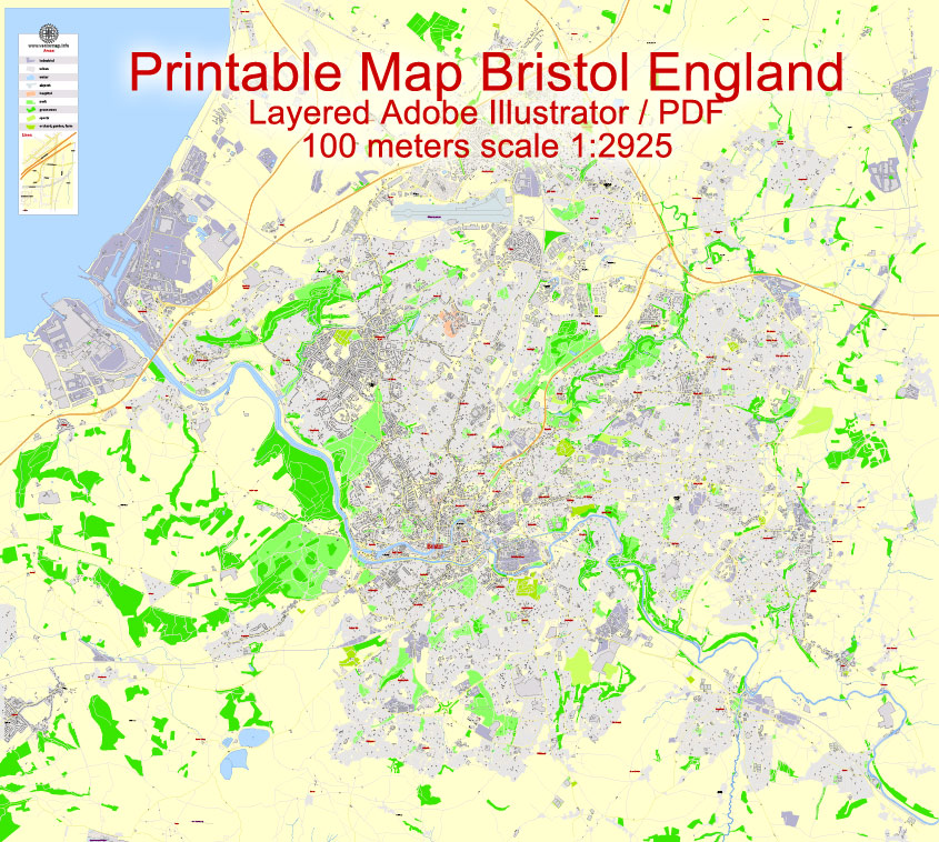
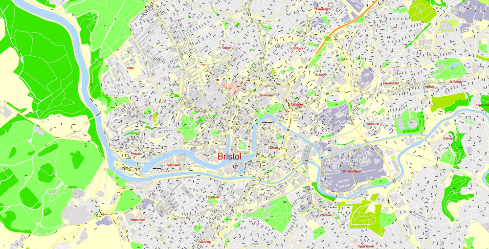
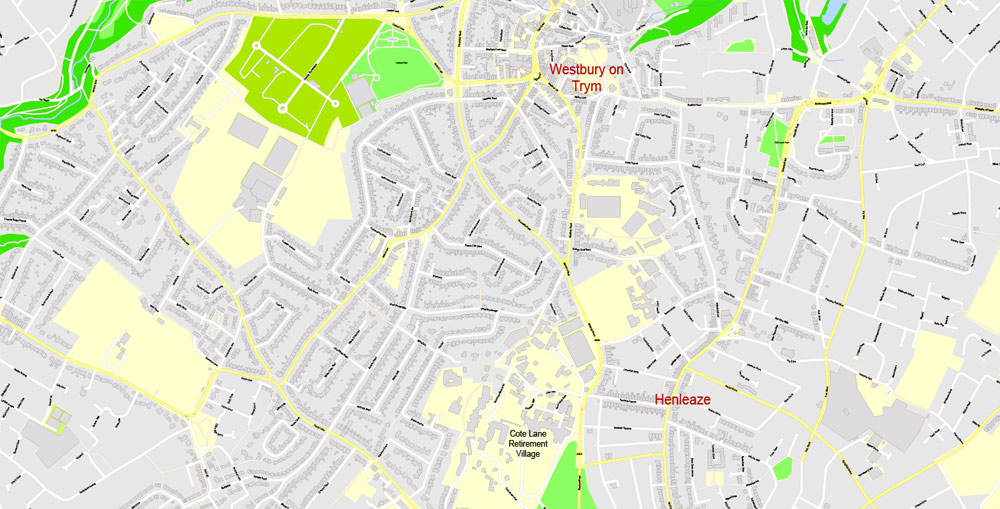
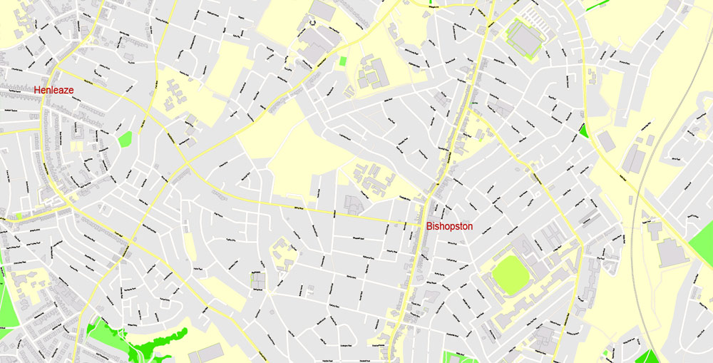
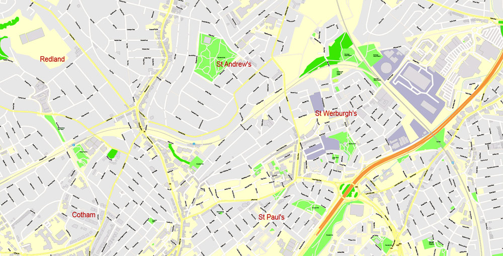
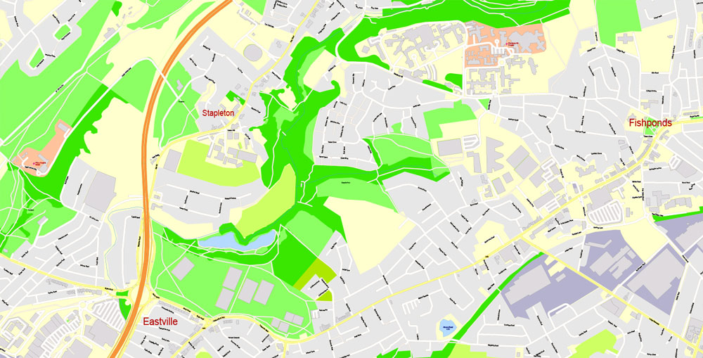
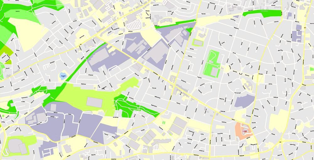
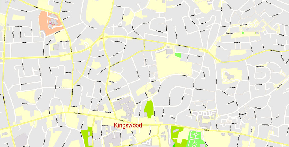
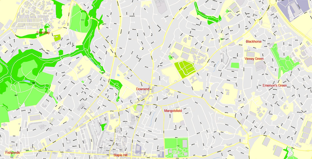
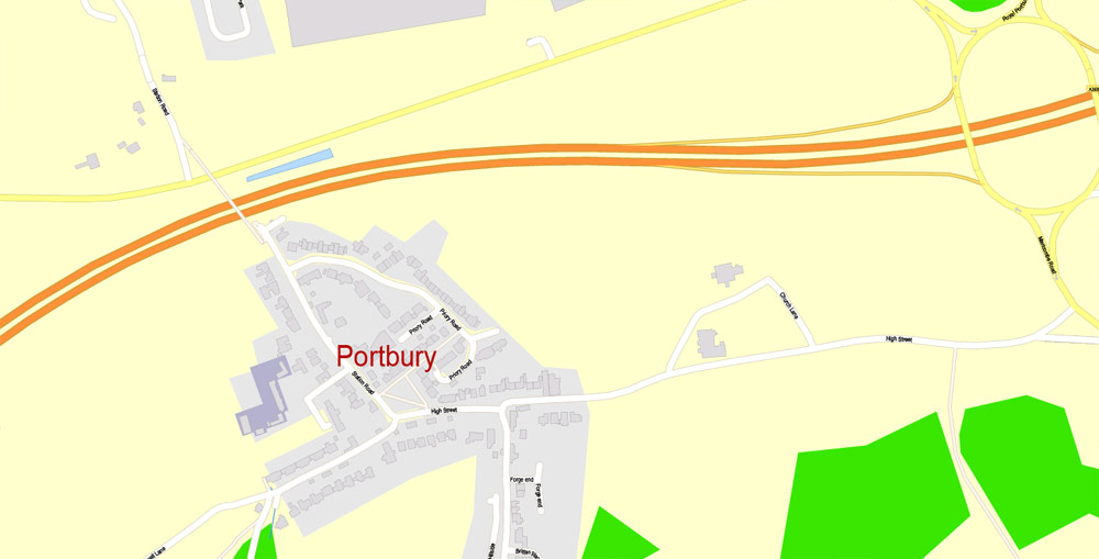
Editable PDF Map Map Bristol Urban Area, England, exact vector street map City Plan G-View Level 17 (100 m scale), fully editable, Adobe PDF, full vector, scalable, editable text format of street names, 28 Mb ZIP.
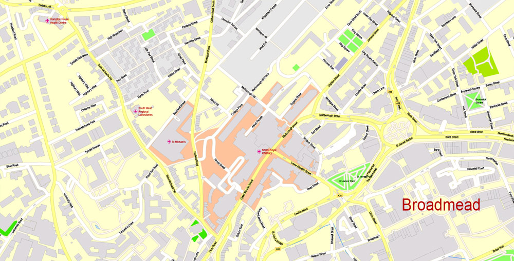
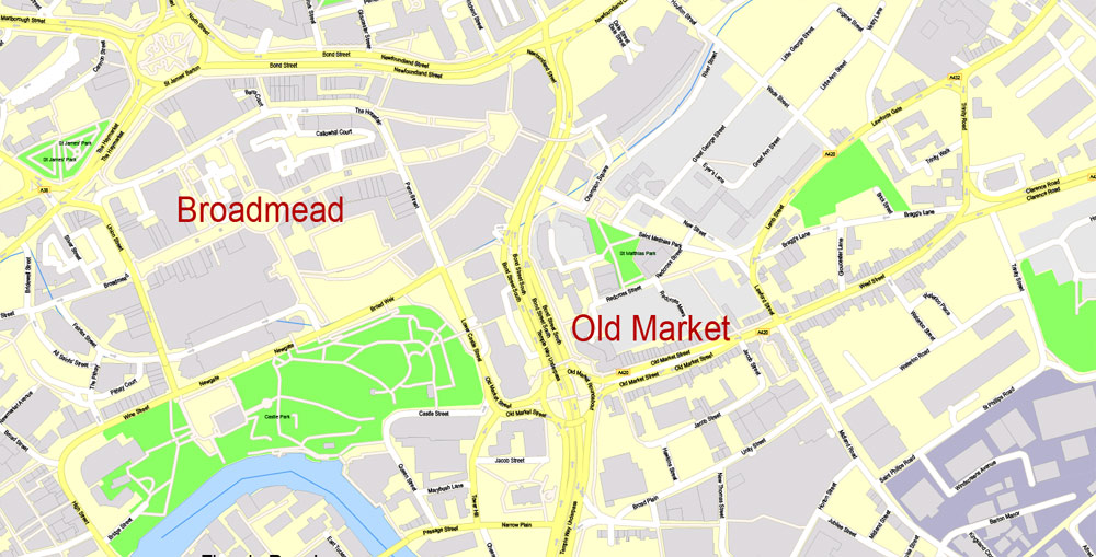
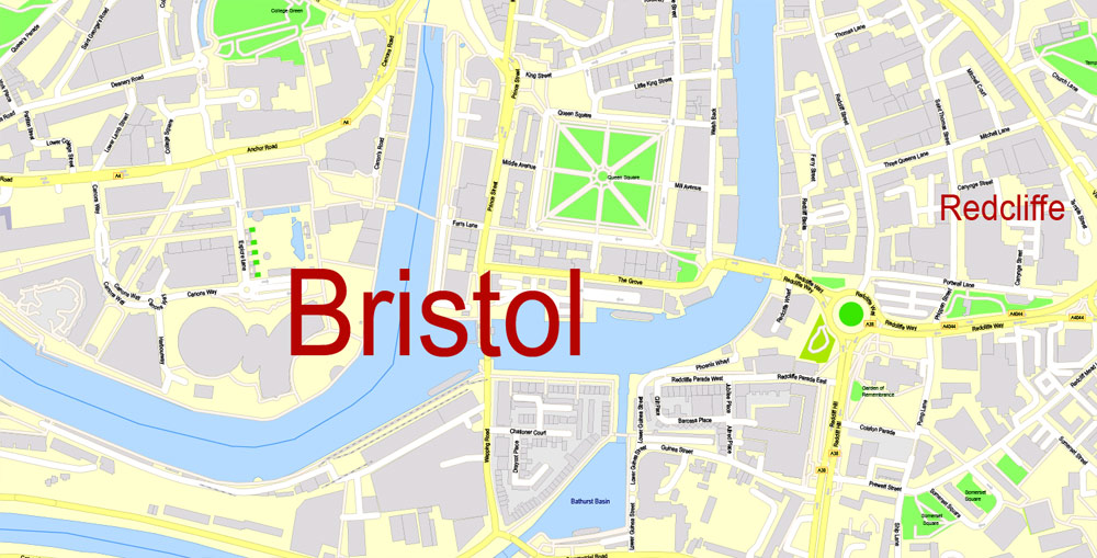
All streets named, main objects, ALL buildings. Map for publishing, design, printing, publications, arts, projects, presentations, for architects, designers and builders, business, logistics. The most exact and detailed map of the city.
Layers: color fills, streets_roads, arrows_streets, labels_roads, objects, names objects, names_streets, names_places, grids, legend.
You can edit this file by Adobe Illustrator, Adobe Acrobat, Corel Draw.
For printing LARGE (WALL) format
DWG, DXF, CDR, ESRI Shapes, and other formats – by request, same price, please contact.
Bristol, England.
This vector map of Bristol city is used as a basis for design, editing, and further printing.
This is the most detailed, exact map of Bristol city for high-quality printing and polygraphy. You can always clarify the map development date by contacting us.
For your convenience, all objects on Bristol vector city map are divided into layers. And the editing is very easy – colors, lines, etc.
You can easily add any objects needed (e.g. shops, salons, sale points, gas station or attraction) on any layer of Bristol vector map.
Bristol is a city and county in South West England with a population of 459,300. The wider district has the 10th-largest population in England. The urban area population of 724,000 is the 8th-largest in the UK. The city borders North Somerset and South Gloucestershire, with the cities of Bath and Gloucester to the south-east and north-east, respectively. South Wales lies across the Severn estuary.
One of the advantages of Bristol city vector maps of our production is the relevance of cartographic data, we constantly update all our products.
This vector map of Bristol city is used by:
designers, layout designers, printers, advertisers and architects. Our product – vector maps – is designed for further editing and printing in large formats – from @Wall format (a few meters) to A-0 and A-1, A-2, A-3.
The Bristol city map in vector format is used for design, urban planning, presentations and media visualizations.
The advertising and presentation map of Bristol city (usually the final designer marks the routes, and puts the client’s objects (shops, saloons, gas stations etc.)
The undoubted advantage is that people will NEVER throw out this advertising product – the map. In fact, as an advertising medium, a city map is the most “long-playing” of the well-known polygraphic advertising media, with the longest lifespan, and the maximum number of interactions with the customer.
For travelers, maps are sold at the airports and gas stations around the world. Often the source is our vector maps.
Take a look, who purchases our vector maps of Bristol city in “Our Clients and Friends” page – these are large and small companies, from super-brands like Volvo and Starbucks, to small design studios and printing houses.
It’s very easy to work with vector maps of Bristol city, even for a not very experienced designer who can turn on and off the map layers, add new objects, change the colors of fill and lines according to customer requirements.
The undoubted advantage of Bristol city vector maps in printing is an excellent and detailed visualization, when customer can expand a large paper map and instantly define his location, find a landmark, an object or address on map, unlike using the popular electronic formats of Google and Yandex maps for example.
Printable vector maps of Bristol city are much more convenient and efficient than any electronic maps on your smartphone, because ALL DETAILS are displayed in the entire space of Bristol city map.
Useful tips on working with vector maps of cities and countries in Adobe Illustrator.
«V» – launches the Selection tool (cursor, black arrow), which makes active any vector line.
«А» – launches the Direct Selection tool (white cursor), allows you to select curve elements and drag them to the desired place.
«R» – activates the Rotate tool, which helps you rotating selected objects around the center point by 360 degrees.
«E» – gives you the opportunity to use the Eraser tool and erase unnecessary parts.
«X» – switches between Fill and Stroke in the Tools section. Try to get used to this hot key and
you will quickly understand that you can’t live and work without it.
Iron Age hill forts and Roman villas were built near the confluence of the rivers Frome and Avon, and around the beginning of the 11th century the settlement was known as Brycgstow (Old English “the place at the bridge”). Bristol received a royal charter in 1155 and was historically divided between Gloucestershire and Somerset until 1373, when it became a county of itself. From the 13th to the 18th century, Bristol was among the top three English cities after London in tax receipts. Bristol was surpassed by the rapid rise of Birmingham, Manchester and Liverpool in the Industrial Revolution.
Guides are not limited to vertical and horizontal in Adobe Illustrator. You can also create a diagonal guide for example. Moreover, you can turn any contours into guides. Select the outline and go to View > Guides > Make Guides (Create Guides), or simply press Cmd/Ctrl + 5. You can also turn the guides back into an editable object. Go to menu, View > Guides > Unlock Guides (Release Guides), select the guide you want to edit and select View > Guides > Release Guides (Reset Guides), or just press Cmd/Ctrl + Option / Alt + 5).
You will probably want to change the color scheme used on our Bristol vector city map.
To quickly and effectively play with colors.
Of course, you can do it manually, all objects in our Bristol city vector map are divided according to types and layers, and you can easily change the color gamma of vector objects in groups and layers.
But there is more effective way of working with the whole VECTOR MAP of Bristol city and all layers:
The overview dialog «Edit colors»/«Repaint Graphic Object» (this dialog box name can change depending on the context):
If you have selected a part or a layer of Bristol city vector map and open the dialog box by clicking the icon in the Control panel, on the Samples palette or the Color Catalog, or if you choose Edit > Edit Colors> Repaint Graphic Object, then the «Repaint Graphic Object» dialog box appears, and you get access to «Assign» and «Edit» tabs.
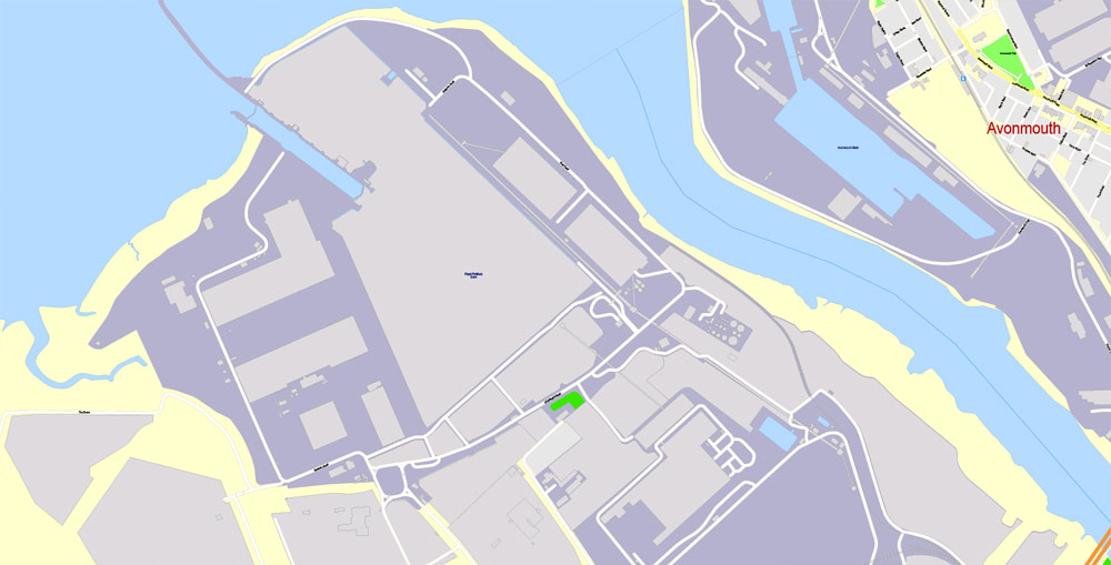
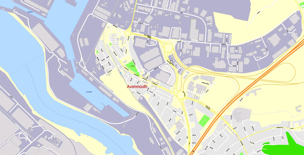
Bristol was a starting place for early voyages of exploration to the New World. On a ship out of Bristol in 1497 John Cabot, a Venetian, became the first European since the Vikings to land on mainland North America. In 1499 William Weston, a Bristol merchant, was the first Englishman to lead an exploration to North America. At the height of the Bristol slave trade, from 1700 to 1807, more than 2,000 slave ships carried an estimated 500,000 people from Africa to slavery in the Americas. The Port of Bristol has since moved from Bristol Harbour in the city centre to the Severn Estuary at Avonmouth and Royal Portbury Dock.
If a picture or a map fragment is not selected, and you open the dialog box by clicking the icon in the Control panel, on the Samples palette or in the Color Catalog, the «Edit Colors» dialog box appears and you can only access the «Edit» tab.
Regardless of the name at the top of the dialog box, the right-hand side always displays the color group of the current document, as well as two default color groups: Print Color and Grayscale. These color groups can be selected and used any time.
Create and edit color groups of Bristol city vector map, and also assign colors using the «Edit Colors»/ а «Repaint Graphic Object» dialog box.
A. Creating and editing of a color group on the «Edit» tab
B. Assigning colors on the «Assign» tab
C. Select a group of colors from the «Color groups» list
The option «Repaint a graphic object» in the lower part of the dialog box allows you to preview the colors on a selected layer of Vector map, or a group of elements, and specify whether its colors will be redefined when the dialog box is closed.
The main areas of the dialog box are:
«Edit»
The «Edit» tab is designed to create a new or edit the existing color groups.
The harmony rules Menu and the Color Wheel are used to conduct experiments with color harmonies. The color wheel shows how colors are related in color harmony, and the color bars allow you to view and manipulate an individual color values. In addition, you can adjust the brightness, add and remove colors, save color groups and view colors on the selected Vector Map of Bristol city or a separated layers.
«Assign»
The «Assign» tab is used to view and control on how the original colors are replaced with colors from the color group like your corporate colors in the Vector Map of Bristol city.
The assign color ability is provided only if the entire map, layer or fragment is selected in the document. You can specify which of new colors replace the current colors, whether the spot colors should be preserved and how colors are replaced (for example, you can replace colors completely or changing the color tone while maintaining the brightness). The «Assign» tab allows you to redefine colors in the Vector Map of Bristol city, or in separate layers and fragments using the current color group or reducing the number of colors in the current Vector Map.
Color groups
Is a list of all saved color groups for current document (the same groups appear in the «Samples» palette). You can edit and delete the existing color groups, as well as creating a new ones using the list of “Color Groups” in the dialog box. All changes appear in the «Samples» palette.
The highlighted color group shows, which color group is currently edited.
Any color group can be selected and edited, or used to redefine the colors in the selected vector map of Bristol city, its fragments or elements.
Saving a color group adds this group to the specified list.
Opening the «Edit Colors»/«Repaint Graphic Object» dialog box.
Open the «Edit Colors»/«Repaint Graphic Object» dialog box using one of the following methods:
«Edit»> «Edit Colors»> «Repaint Graphic object» or «Repaint With Style».
Use these commands if you need to edit the colors in the selected vector map of Bristol city.
«Repaint Graphic object» button on the «Control» panel.
Use this button if you need to adjust colors of Bristol city vector map using the а «Repaint graphic object» dialog box.
The specified button is available if the selected vector map or its fragment contains two or more colors.
Note. This color editing method is convenient for global color adjustment in a vector map, if global colors were not used when creating a City Map of Bristol.
The «Edit colors» button or «Edit or apply colors» on the «Color Catalog» palette
Click this button if you need to edit colors on the «Color Catalog» palette or edit and then apply them to the selected Vector Map of Bristol city or its fragment.
The «Edit color group» button or «Edit or apply color group» on the «Samples» palette.

Click this button if you need to edit the colors in the specific color group or edit and apply them to the selected Vector Map of Bristol city or a group of its elements, for example, the whole layer “Streets and lines”. You can also double-click the color group in the Samples panel to open the dialog box.
If the map file is too large and your computer freezes or even can’t open it quickly:
1. Try to reduce the color resolution of the video card (display) to 256 colors while working with a large map.
2. Using Windows Task Manager, select all the application you don’t need, while working with map, just turn them off.
3. Launch Adobe Illustrator. (DO NOT OPEN the vector map file)
4. Start the Windows Task Manager using administrator rights > Find the “Illustrator” process > set the «real time» priority,
5. Open the file. When you see the LEGACY FONT popup window – click “OK” (do not update). You can restore the TEXT later.
6. Can also be useful: When file is opened – Edit > Settings > Basic Settings > disable smoothing. /// It looks scary, but works quickly)))
We recommend saving the file in Adobe Illustrator 10 version. It’s much more stable when working with VERY BIG size files.
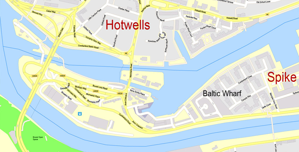
Bristol’s modern economy is built on the creative media, electronics and aerospace industries, and the city-centre docks have been redeveloped as centres of heritage and culture. The city has the largest circulating community currency in the U.K.—the Bristol pound, which is pegged to the Pound sterling. The city has two universities, the University of Bristol and the University of the West of England, and a variety of artistic and sporting organisations and venues including the Royal West of England Academy, the Arnolfini, Spike Island, Ashton Gate and the Memorial Stadium. It is connected to London and other major UK cities by road and rail, and to the world by sea and air: road, by the M5 and M4 (which connect to the city centre by the Portway and M32); rail, via Bristol Temple Meads and Bristol Parkway mainline rail stations; and Bristol Airport.
One of the UK’s most popular tourist destinations, Bristol was selected in 2009 as one of the world’s top ten cities by international travel publishers Dorling Kindersley in their Eyewitness series of travel guides. The Sunday Times named it as the best city in Britain in which to live in 2014 and 2017, and Bristol also won the EU’s European Green Capital Award in 2015.
Geography and environment
Boundaries
Bristol’s boundaries are defined in several ways, depending on whether they are those of the city, the developed area, or Greater Bristol. The narrowest definition of the city is the city council boundary, which includes a large section of the western Severn Estuary up to (but not including) the islands of Steep Holm and Flat Holm.
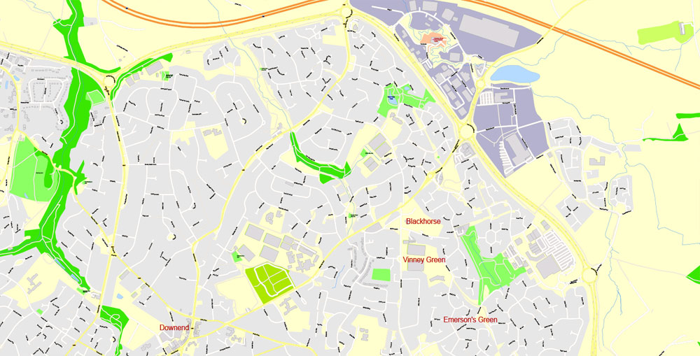
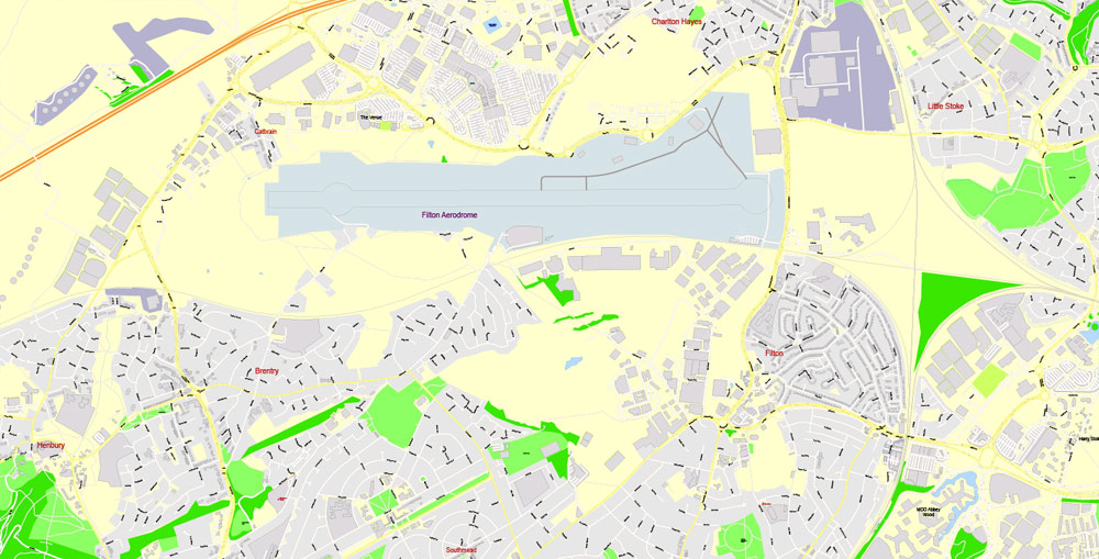
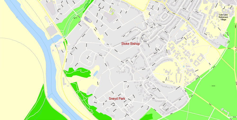
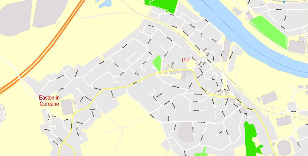
The Office for National Statistics (ONS) has defined a Bristol Urban Area, which includes developed areas adjoining Bristol but outside the city-council boundary, such as Kingswood, Mangotsfield, Stoke Gifford, Winterbourne, Almondsbury, Easton in Gordano, Whitchurch village, Filton, Patchway and Bradley Stoke, but excludes undeveloped areas within that boundary.
Rocky side to a gorge with a platform in front of a cave halfway up. To the right are a road and river. In the distance are a suspension bridge and buildings.
Avon Gorge and Clifton Suspension Bridge, looking towards the city of Bristol.
Geography
Bristol is part of a limestone area running from the Mendip Hills in the south to the Cotswolds in the northeast. The rivers Avon and Frome cut through the limestone to the underlying clay, creating Bristol’s characteristically hilly landscape. The Avon flows from Bath in the east, through flood plains and areas which were marshes before the city’s growth. To the west the Avon cuts through the limestone to form the Avon Gorge, aided by glacial meltwater after the last ice age.
The gorge, which helped protect Bristol Harbour, has been quarried for stone to build the city, and its surrounding land has been protected from development as The Downs and Leigh Woods. The Avon estuary and the gorge are the county boundary with North Somerset, and the river flows into the Severn Estuary at Avonmouth. Another gorge, cut by the Hazel Brook (which flows into the River Trym), crosses the Blaise Castle estate in northern Bristol.
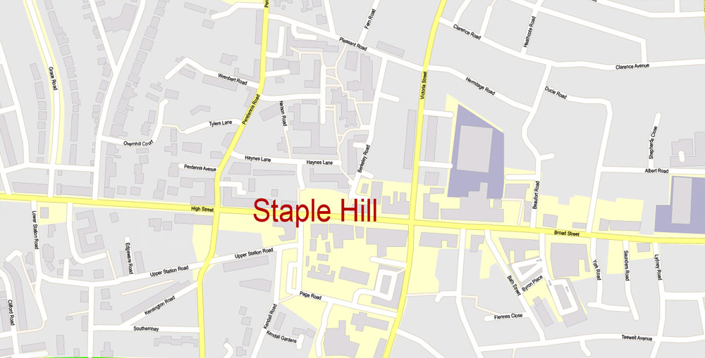
Bristol is often described, by its inhabitants, as being built on seven hills. Given the local geography of Bristol this is easily the case. To name but a few, Red Lion Hill, Barton Hill, Lawrence Hill, St. Michaels Hill, Black Boy Hill, Constitution Hill, Staple Hill, Brandon Hill, Windmill Hill, Malborough Hill, Nine Tree Hill, Talbot, Brook Hill and Granby Hill.
Bristol is 106 miles (171 km) west of London and 77 miles (124 km) south-southwest of Birmingham and 26 miles (42 km) east of the Welsh Capital Cardiff.
Bristol
City in England
Bristol is a city straddling the River Avon in the southwest of England with a prosperous maritime history. Its former city-centre port is now a cultural hub, the Harbourside, where the M Shed museum explores local social and industrial heritage. The harbour’s 19th-century warehouses now contain restaurants, shops and cultural institutions such as contemporary art gallery The Arnolfini.
Area
• City and county 40 sq mi (110 km2)
Elevation 36 ft (11 m)
Population
• City and county 449,300 (Ranked 10th district and 43rd ceremonial county)
• Density 10,080/sq mi (3,892/km2)
• Urban 617,000 (2,011 ONS estimate[3])
• Metro 1,006,600 (LUZ 2,009)
• Ethnicity
84.0% white (77.9% white British)
6.0% black
5.5% Asian
3.6% mixed-race
0.3% Arab
0.6% other
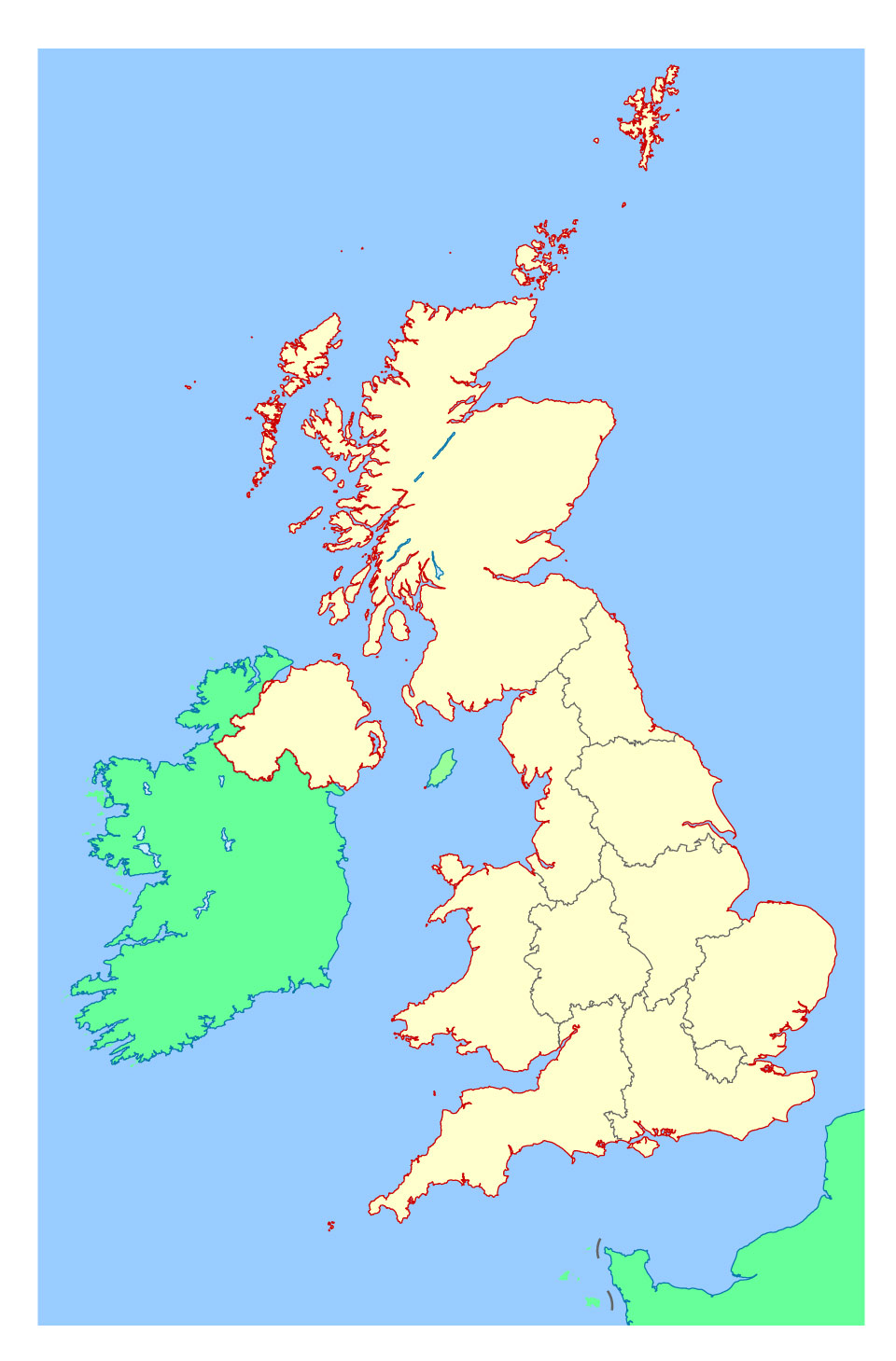
See also: Other printable maps England and Scotland
Free Vector maps downloads:
free_vector_map_england_scotland_ireland_ai free_vector_map_england_scotland_ireland_pdf
Small guide: How to work with the vector map?
You can: Mass select objects by type and color – for example, the objects type “building” (they are usually dark gray) – and remove them from the map, if you do not need them in your print or design project. You can also easily change the thickness of lines (streets), just bulk selection the road by the line color.
The streets are separated by type, for example, type “residential road” are usually white with a gray stroke. Highway usually orange with a brown or dark gray stroke.
It is easy to change the font of inscriptions, all or each individually. Also, just can be make and any other manipulation of objects on the vector map in Adobe illustrator format.
Important: All the proportions on the map are true, that is, the relative sizes of the objects are true, because Map is based on an accurate GPS projection, and It transated into the (usual for all) the Mercator projection.
You can easily change the color, stroke and fill of any object on the map, zoom without loss of quality Image Verification.
Select object

Bulk selection the same objects on the vector map

See the bulk selected objects on the vector map

Bulk delete buildungs from the vector map

Select residencial road (small street) on the vector map

Bulk selection the same lines (streets, roads) on the full map

Create fat lines of the streets on the vector maps (bulk action) 1

Create fat lines of the streets on the vector maps (bulk action) 2

Create fat lines of the streets on the vector maps (bulk action) 3

You can easily change the color, stroke and fill of any object on the map, zoom without loss of quality Image Verification.

 Author: Kirill Shrayber, Ph.D. FRGS
, fully editable, Adobe Illustrator")


