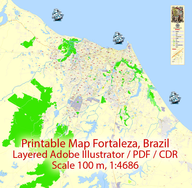
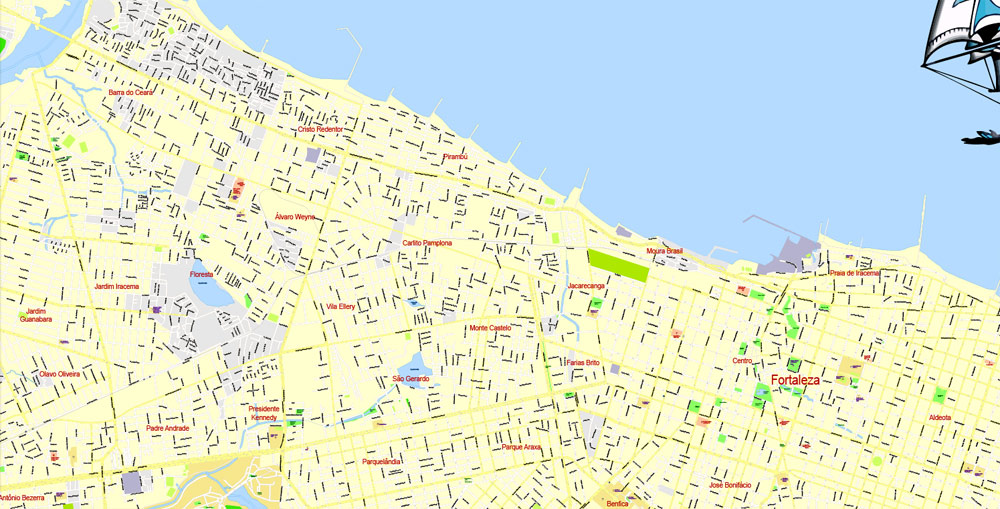
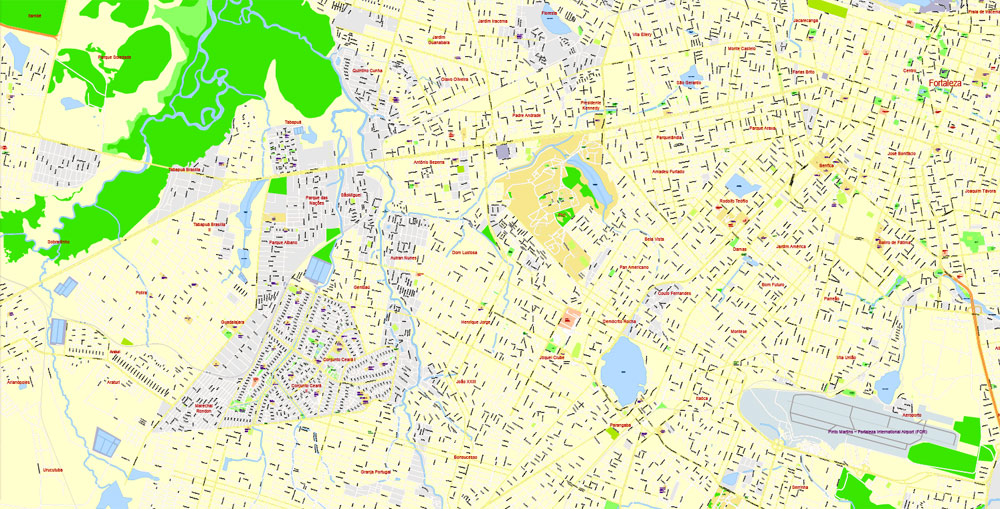
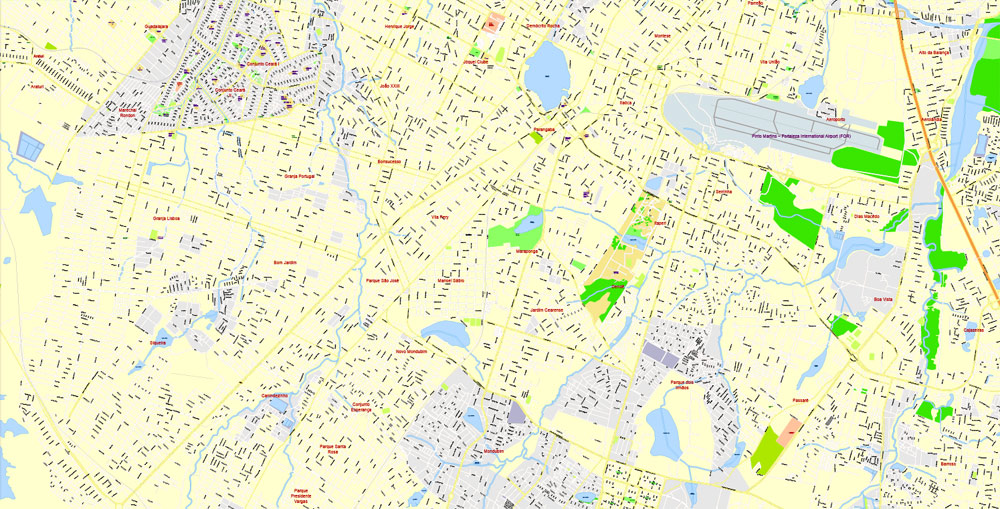
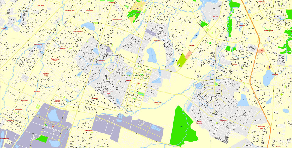
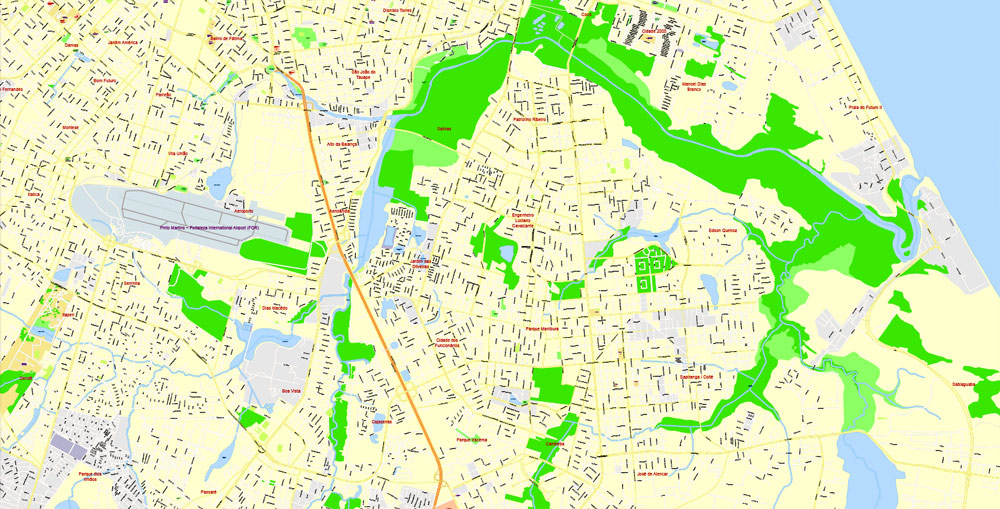
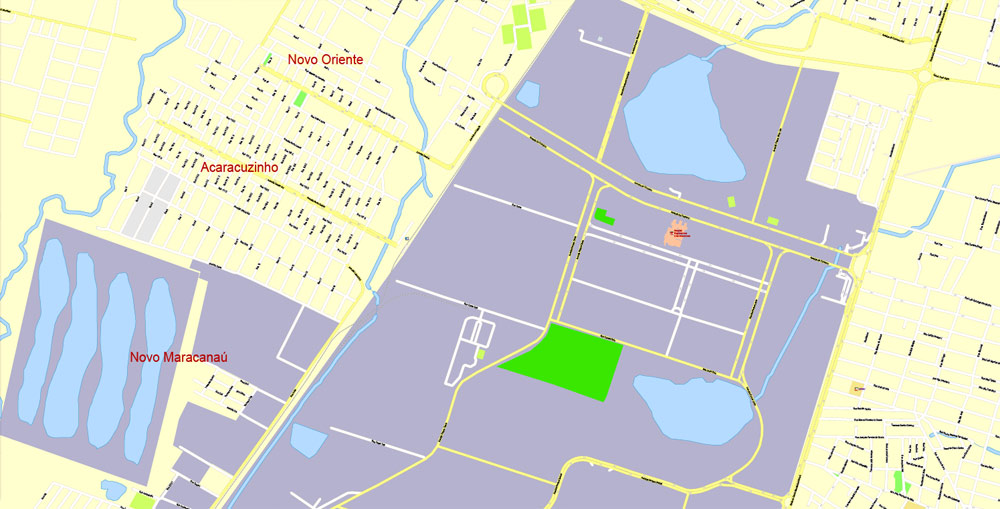
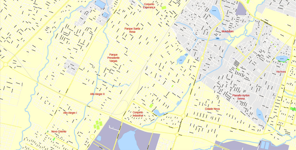
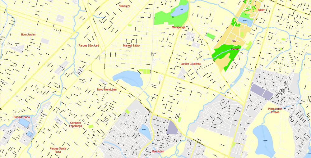
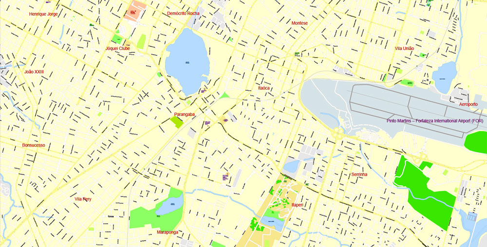
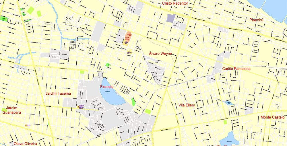
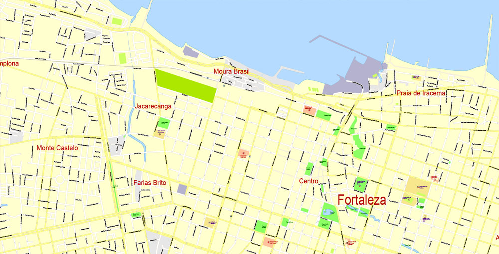
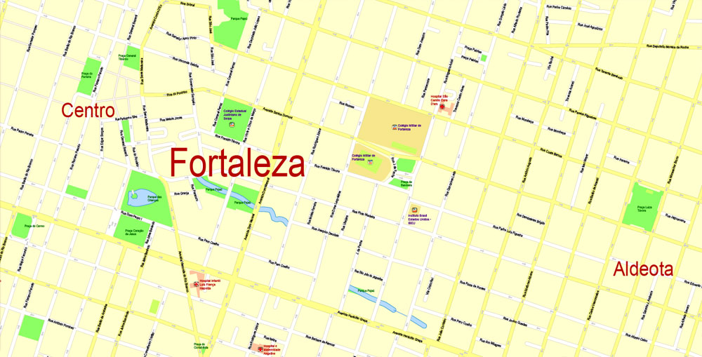
Editable PDF Map Fortaleza Brazil, exact vector City Plan Map street G-View Level 17 (100 meters scale 1:4686) full editable, Adobe PDF, full vector, scalable, editable text format street names, 36 mb ZIP
All streets named, Main Objects, no buildings. Map for design, printing, arts, projects, presentations, for architects, designers and builders, business, logistics.
Layers: color fills, streets_roads, arrows_streets, labels_roads, objects, names_objects, names_streets, names_places, grids, legend.
The most exact and detailed map of the city.
You can edit this file by Adobe Illustrator, Adobe Acrobat, Corel Draw.
DWG, DXF, CDR and other formats – on request, same price, please, contact
Fortaleza, Brazil.
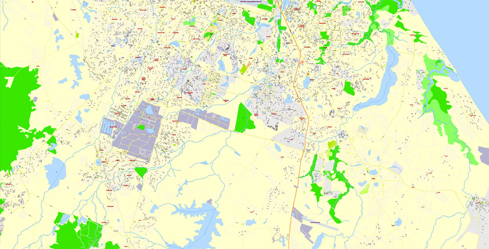
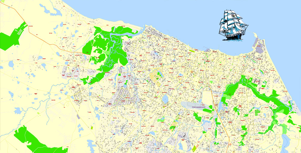
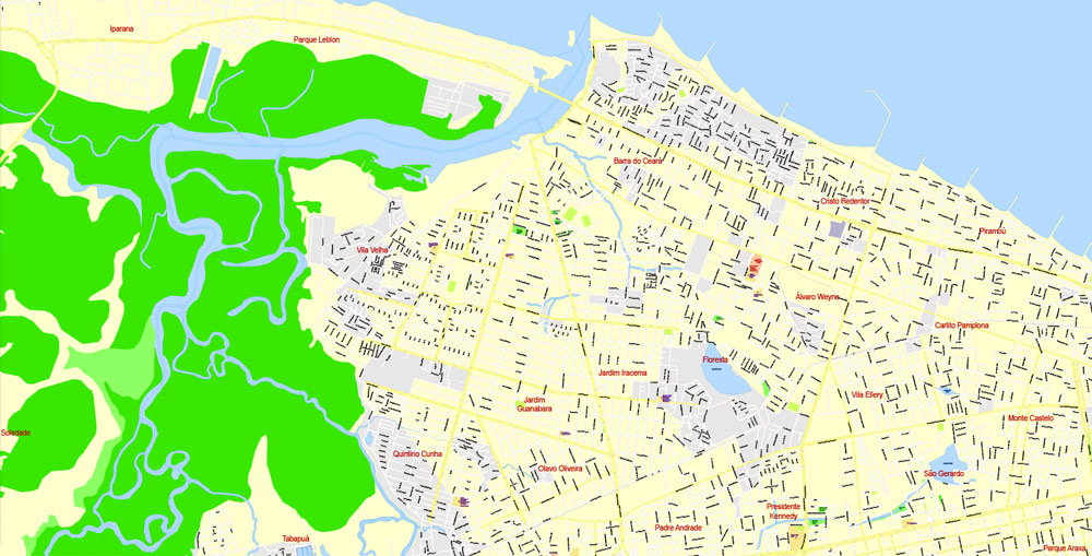
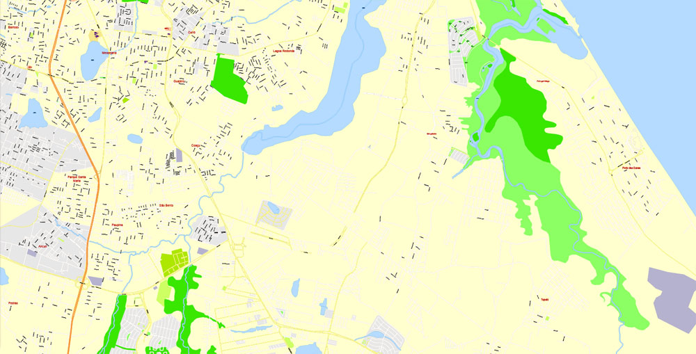
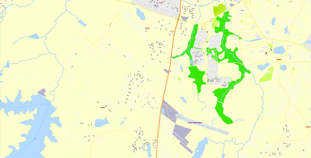
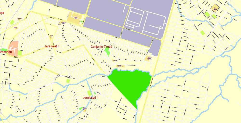
This vector map of Fortaleza city is used as a basis for design, editing, and further printing.
This is the most detailed, exact map of Fortaleza city for high-quality printing and polygraphy. You can always clarify the map development date by contacting us.
For your convenience, all objects on Fortaleza vector city map are divided into layers. And the editing is very easy – colors, lines, etc.
You can easily add any objects needed (e.g. shops, salons, sale points, gas station or attraction) on any layer of Fortaleza vector map.
Fortaleza is the state capital of Ceará, located in Northeastern Brazil. It belongs to the Metropolitan mesoregion of Fortaleza and microregion of Fortaleza. Located 2285 km (1420 miles) from Brasilia, the federal capital, the city has developed on the banks of the creek Pajeú, and its name is an allusion to Fort Schoonenborch, which gave rise to the city, built by the Dutch during their second stay in the area between 1649 and 1654. The motto of Fortaleza, present in its coat of arms is the Latin word Fortitudine, which means “with strength/courage”.
One of the advantages of Fortaleza city vector maps of our production is the relevance of cartographic data, we constantly update all our products.
This vector map of Fortaleza city is used by:
designers, layout designers, printers, advertisers and architects. Our product – vector maps – is designed for further editing and printing in large formats – from @Wall format (a few meters) to A-0 and A-1, A-2, A-3.
The Fortaleza city map in vector format is used for design, urban planning, presentations and media visualizations.
The advertising and presentation map of Fortaleza city (usually the final designer marks the routes, and puts the client’s objects (shops, saloons, gas stations etc.)
The undoubted advantage is that people will NEVER throw out this advertising product – the map. In fact, as an advertising medium, a city map is the most “long-playing” of the well-known polygraphic advertising media, with the longest lifespan, and the maximum number of interactions with the customer.
For travelers, maps are sold at the airports and gas stations around the world. Often the source is our vector maps.
Take a look, who purchases our vector maps of Fortaleza city in “Our Clients and Friends” page – these are large and small companies, from super-brands like Volvo and Starbucks, to small design studios and printing houses.
It’s very easy to work with vector maps of Fortaleza city, even for a not very experienced designer who can turn on and off the map layers, add new objects, change the colors of fill and lines according to customer requirements.
The undoubted advantage of Fortaleza city vector maps in printing is an excellent and detailed visualization, when customer can expand a large paper map and instantly define his location, find a landmark, an object or address on map, unlike using the popular electronic formats of Google and Yandex maps for example.
Printable vector maps of Fortaleza city are much more convenient and efficient than any electronic maps on your smartphone, because ALL DETAILS are displayed in the entire space of Fortaleza city map.
Useful tips on working with vector maps of cities and countries in Adobe Illustrator.
«V» – launches the Selection tool (cursor, black arrow), which makes active any vector line.
«А» – launches the Direct Selection tool (white cursor), allows you to select curve elements and drag them to the desired place.
«R» – activates the Rotate tool, which helps you rotating selected objects around the center point by 360 degrees.
«E» – gives you the opportunity to use the Eraser tool and erase unnecessary parts.
«X» – switches between Fill and Stroke in the Tools section. Try to get used to this hot key and
you will quickly understand that you can’t live and work without it.
Guides are not limited to vertical and horizontal in Adobe Illustrator. You can also create a diagonal guide for example. Moreover, you can turn any contours into guides. Select the outline and go to View > Guides > Make Guides (Create Guides), or simply press Cmd/Ctrl + 5. You can also turn the guides back into an editable object. Go to menu, View > Guides > Unlock Guides (Release Guides), select the guide you want to edit and select View > Guides > Release Guides (Reset Guides), or just press Cmd/Ctrl + Option / Alt + 5).
In 2013, Fortaleza was the twelfth richest city in the country in GDP and second in the Northeast, with 49 billion reais (US$21 billion). It also has the third richest metropolitan area in the North and Northeast regions. It is an important industrial and commercial center of Brazil, the eighth nation’s largest municipal purchasing power. According to the Ministry of Tourism, the city reached the marks of second most desired destination of Brazil and fourth Brazilian city that receives more tourists. The BR-116, the most important highway of the country, starts in Fortaleza. The municipality is part of the Common Market of Mercosur Cities, and also the Brazilian capital which is closest to Europe, 5608 km (3484 miles) from Lisbon, Portugal.
You will probably want to change the color scheme used on our Fortaleza vector city map.
To quickly and effectively play with colors.
Of course, you can do it manually, all objects in our Fortaleza city vector map are divided according to types and layers, and you can easily change the color gamma of vector objects in groups and layers.
But there is more effective way of working with the whole VECTOR MAP of Fortaleza city and all layers:
The overview dialog «Edit colors»/«Repaint Graphic Object» (this dialog box name can change depending on the context):
If you have selected a part or a layer of Fortaleza city vector map and open the dialog box by clicking the icon in the Control panel, on the Samples palette or the Color Catalog, or if you choose Edit > Edit Colors> Repaint Graphic Object, then the «Repaint Graphic Object» dialog box appears, and you get access to «Assign» and «Edit» tabs.
If a picture or a map fragment is not selected, and you open the dialog box by clicking the icon in the Control panel, on the Samples palette or in the Color Catalog, the «Edit Colors» dialog box appears and you can only access the «Edit» tab.
Regardless of the name at the top of the dialog box, the right-hand side always displays the color group of the current document, as well as two default color groups: Print Color and Grayscale. These color groups can be selected and used any time.
Create and edit color groups of Fortaleza city vector map, and also assign colors using the «Edit Colors»/ а «Repaint Graphic Object» dialog box.
A. Creating and editing of a color group on the «Edit» tab
B. Assigning colors on the «Assign» tab
C. Select a group of colors from the «Color groups» list
The option «Repaint a graphic object» in the lower part of the dialog box allows you to preview the colors on a selected layer of Vector map, or a group of elements, and specify whether its colors will be redefined when the dialog box is closed.
The main areas of the dialog box are:
«Edit»
The «Edit» tab is designed to create a new or edit the existing color groups.
The harmony rules Menu and the Color Wheel are used to conduct experiments with color harmonies. The color wheel shows how colors are related in color harmony, and the color bars allow you to view and manipulate an individual color values. In addition, you can adjust the brightness, add and remove colors, save color groups and view colors on the selected Vector Map of Fortaleza city or a separated layers.
«Assign»
The «Assign» tab is used to view and control on how the original colors are replaced with colors from the color group like your corporate colors in the Vector Map of Fortaleza city.
The assign color ability is provided only if the entire map, layer or fragment is selected in the document. You can specify which of new colors replace the current colors, whether the spot colors should be preserved and how colors are replaced (for example, you can replace colors completely or changing the color tone while maintaining the brightness). The «Assign» tab allows you to redefine colors in the Vector Map of Fortaleza city, or in separate layers and fragments using the current color group or reducing the number of colors in the current Vector Map.
Color groups
Is a list of all saved color groups for current document (the same groups appear in the «Samples» palette). You can edit and delete the existing color groups, as well as creating a new ones using the list of “Color Groups” in the dialog box. All changes appear in the «Samples» palette.
The highlighted color group shows, which color group is currently edited.
Any color group can be selected and edited, or used to redefine the colors in the selected vector map of Fortaleza city, its fragments or elements.
Saving a color group adds this group to the specified list.
Opening the «Edit Colors»/«Repaint Graphic Object» dialog box.
Open the «Edit Colors»/«Repaint Graphic Object» dialog box using one of the following methods:
«Edit»> «Edit Colors»> «Repaint Graphic object» or «Repaint With Style».
Use these commands if you need to edit the colors in the selected vector map of Fortaleza city.
«Repaint Graphic object» button on the «Control» panel.
Use this button if you need to adjust colors of Fortaleza city vector map using the а «Repaint graphic object» dialog box.
The specified button is available if the selected vector map or its fragment contains two or more colors.
Note. This color editing method is convenient for global color adjustment in a vector map, if global colors were not used when creating a City Map of Fortaleza.
The «Edit colors» button or «Edit or apply colors» on the «Color Catalog» palette
Click this button if you need to edit colors on the «Color Catalog» palette or edit and then apply them to the selected Vector Map of Fortaleza city or its fragment.
The «Edit color group» button or «Edit or apply color group» on the «Samples» palette.
Click this button if you need to edit the colors in the specific color group or edit and apply them to the selected Vector Map of Fortaleza city or a group of its elements, for example, the whole layer “Streets and lines”. You can also double-click the color group in the Samples panel to open the dialog box.

If the map file is too large and your computer freezes or even can’t open it quickly:
1. Try to reduce the color resolution of the video card (display) to 256 colors while working with a large map.
2. Using Windows Task Manager, select all the application you don’t need, while working with map, just turn them off.
3. Launch Adobe Illustrator. (DO NOT OPEN the vector map file)
4. Start the Windows Task Manager using administrator rights > Find the “Illustrator” process > set the «real time» priority,
5. Open the file. When you see the LEGACY FONT popup window – click “OK” (do not update). You can restore the TEXT later.
6. Can also be useful: When file is opened – Edit > Settings > Basic Settings > disable smoothing. /// It looks scary, but works quickly)))
We recommend saving the file in Adobe Illustrator 10 version. It’s much more stable when working with VERY BIG size files.
To the north of the city lies the Atlantic Ocean; to the south are the municipalities of Pacatuba, Eusébio, Maracanaú and Itaitinga; to the east is the municipality of Aquiraz and the Atlantic Ocean; and to the west is the municipality of Caucaia. Residents of the city are known as Fortalezenses. Fortaleza is one of the three leading cities in the Northeast region together with Recife and Salvador.
The city was one of the host cities of the 2014 FIFA World Cup.
Mapa Imprimível Fortaleza Brasil PDF, vetor exato Plano da Cidade Mapa da rua G-View Nível 17 (escala de 100 metros 1: 4686) editável, Adobe PDF, vetor completo, formato de texto editável, escalável e editável, 36 mb ZIP
Todas as ruas nomeadas, Objetos Principais, sem edifícios. Mapa para design, impressão, artes, projetos, apresentações, para arquitetos, designers e construtores, negócios, logística.
Camadas: preenchimentos de cores, streets_roads, arrows_streets, labels_roads, objects, names_objects, names_streets, names_places, grids, legenda.
O mapa mais exato e detalhado da cidade.
Você pode editar este arquivo por Adobe Illustrator, Adobe Acrobat, Corel Draw.
DWG, DXF, CDR e outros formatos – a pedido, mesmo preço, por favor, entre em contato
Fortaleza
City in Brazil
Fortaleza is the capital of the northeastern Brazilian state of Ceará. It’s known for its beaches, which are punctuated by red cliffs, palm trees, dunes and lagoons. Fortaleza’s long-standing folkloric traditions are presented in dance performances at the art nouveau José de Alencar theater, open since 1910. Another architectural highlight is the neo-Gothic Catedral Metropolitana.
Area
• Municipality 314.93 km2 (121.60 sq mi)
• Metro 7.440,053 km2 (2.872621 sq mi)
Elevation 21 m (69 ft)
Population
• Municipality 2,609,716
• Rank 5th
• Metro 4,019,213
• Metro density 540.21/km2 (1,399.1/sq mi)
Free vector map World, Adobe Illustrator, download now maps vector clipart
Map for design, projects, presentation free to use as you like.
See also: TERMS & CONDITIONS: SOFTWARE LICENSE AGREEMENT FOR DIGITAL CARTOGRAPHIC DATA.
Need more USA Vector Maps, printable and editable?

 Author: Kirill Shrayber, Ph.D. FRGS