Extended Description of the Vector Map
Printable Vector Map Dothan Alabama US 150 miles radius area (included parts of Alabama, Georgia, Florida States) detailed editable layered Adobe Illustrator scalable, editable text format all names, 130 MB ZIP
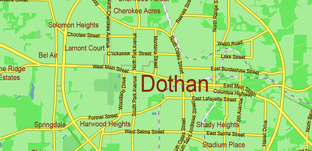
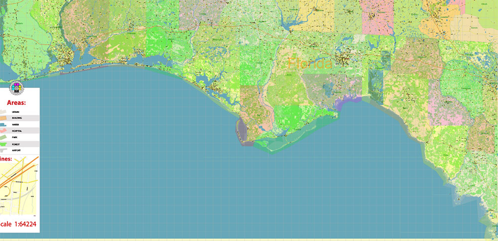
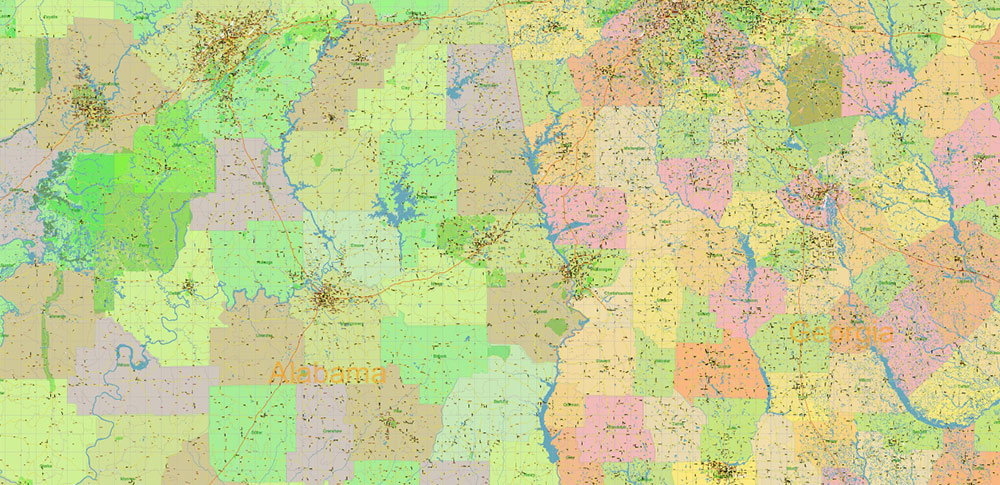
Names Principal streets, states, counties, zipcodes areas and numbers
Map for design, printing, arts, projects, presentations, for architects, designers, and builders, business, logistics.
The most exact and detailed map of Dothan Alabama US 150 miles radius area
Map for editing and High-Quality Printing
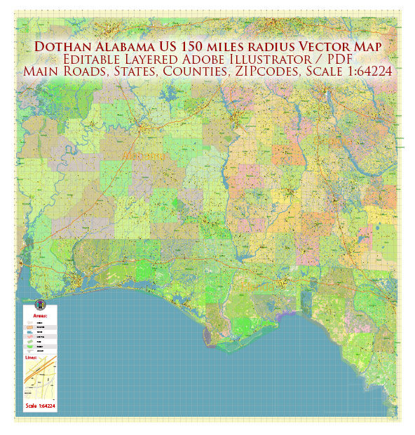
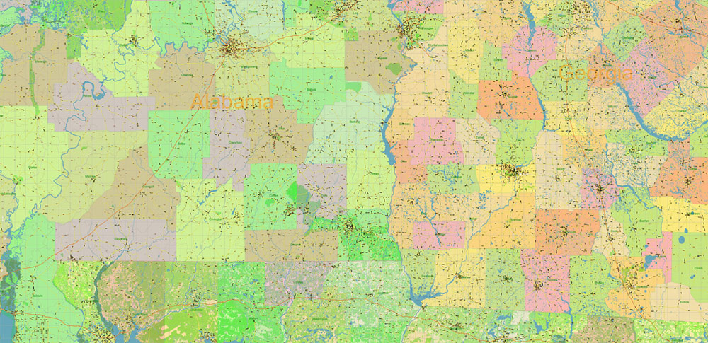
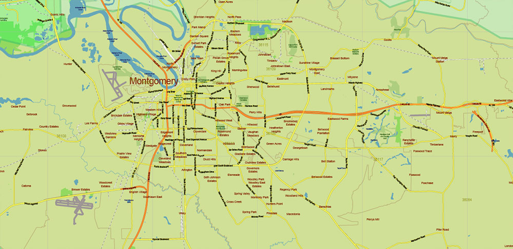
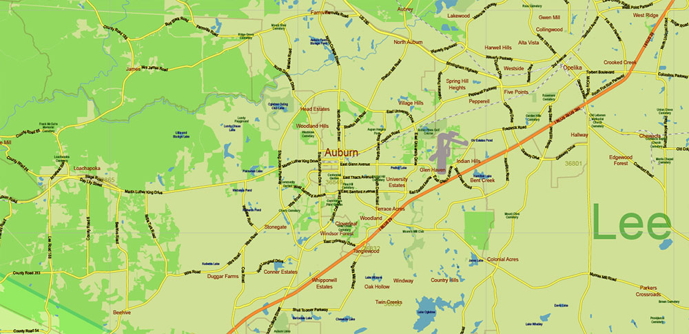
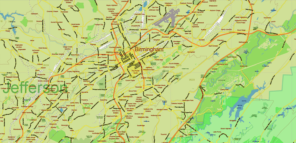
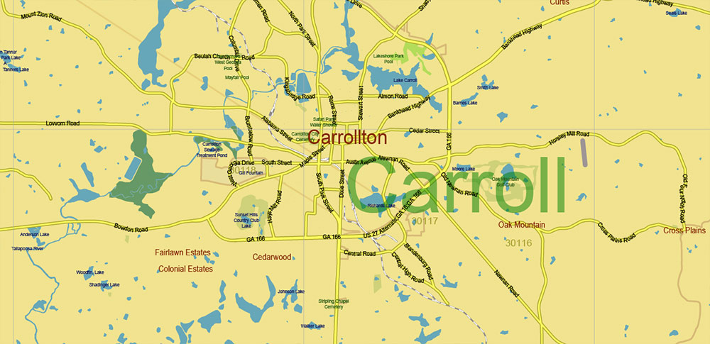
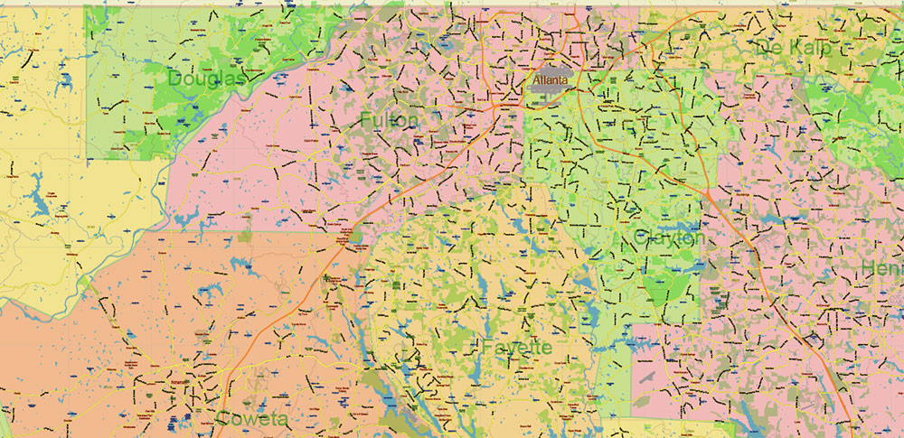
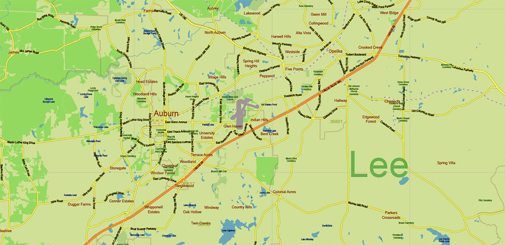
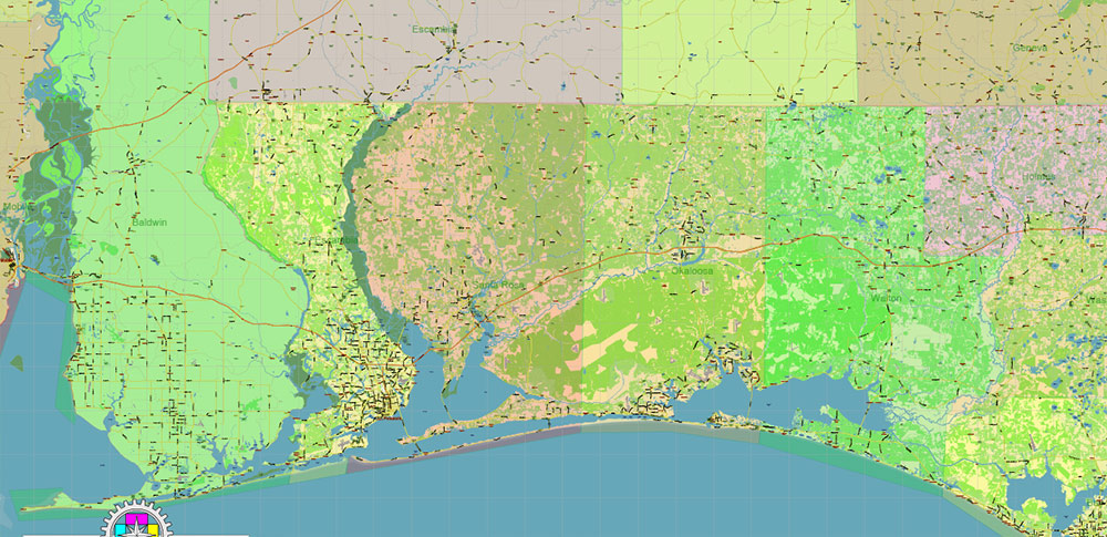
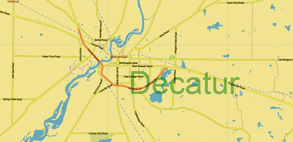
Dothan Alabama US 150 miles radius area Vector Map high detailed All Roads Streets Cities Towns map editable Layered Adobe Illustrator
Layers list:
- Legend
- Grids
- Names Counties
- Names Main Streets
- Names States
- Names Objects
- Names Places
- Numbers zipcodes
- Main Streets and Roads
- Railroads
- Airports and Heliports
- Landuse areas
- Water objects (areas)
- Waterways
- Counties Areas
- States Areas
- Background
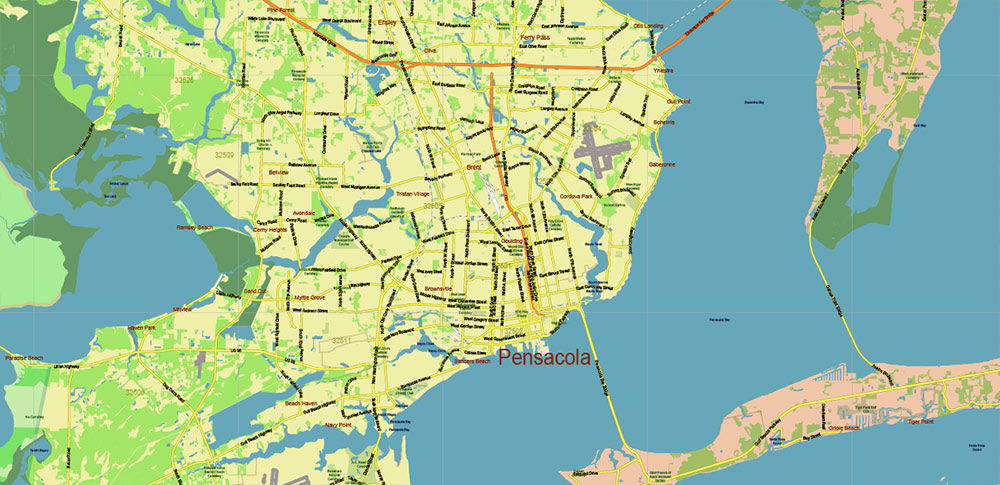
Dothan Alabama US 150 miles radius area Vector Map high detailed All Roads Streets Cities Towns map editable Layered Adobe Illustrator
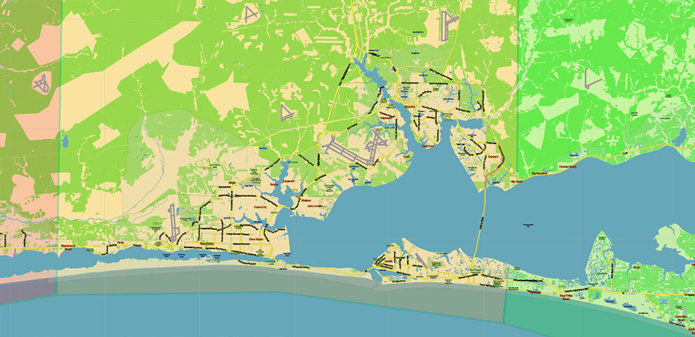
Dothan Alabama US 150 miles radius area Vector Map high detailed All Roads Streets Cities Towns map editable Layered Adobe Illustrator
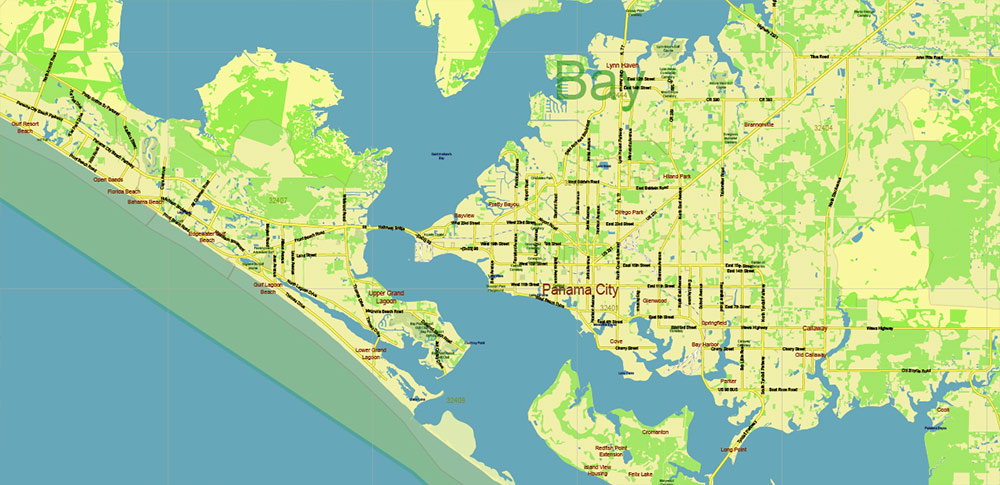
Dothan Alabama US 150 miles radius area Vector Map high detailed All Roads Streets Cities Towns map editable Layered Adobe Illustrator
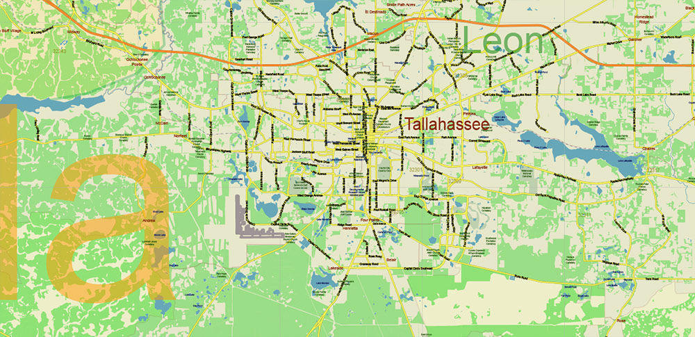
Dothan Alabama US 150 miles radius area Vector Map high detailed All Roads Streets Cities Towns map editable Layered Adobe Illustrator
Dothan Alabama US 150 miles radius area Vector Map high detailed All Roads Streets Cities Towns map editable Layered Adobe Illustrator
Dothan Alabama US 150 miles radius area Vector Map high detailed All Roads Streets Cities Towns map editable Layered Adobe Illustrator
Dothan Alabama US 150 miles radius area Vector Map high detailed All Roads Streets Cities Towns map editable Layered Adobe Illustrator

Dothan Alabama US 150 miles radius area Vector Map high detailed All Roads Streets Cities Towns map editable Layered Adobe Illustrator
Dothan Alabama US 150 miles radius area Vector Map high detailed All Roads Streets Cities Towns map editable Layered Adobe Illustrator
Dothan Alabama US 150 miles radius area Vector Map high detailed All Roads Streets Cities Towns map editable Layered Adobe Illustrator
Dothan Alabama US 150 miles radius area Vector Map high detailed All Roads Streets Cities Towns map editable Layered Adobe Illustrator
Dothan Alabama US 150 miles radius area Vector Map high detailed All Roads Streets Cities Towns map editable Layered Adobe Illustrator
Dothan Alabama US 150 miles radius area Vector Map high detailed All Roads Streets Cities Towns map editable Layered Adobe Illustrator
Dothan Alabama US 150 miles radius area Vector Map high detailed All Roads Streets Cities Towns map editable Layered Adobe Illustrator
Dothan Alabama US 150 miles radius area Vector Map high detailed All Roads Streets Cities Towns map editable Layered Adobe Illustrator
Dothan Alabama US 150 miles radius area Vector Map high detailed All Roads Streets Cities Towns map editable Layered Adobe Illustrator
Dothan Alabama US 150 miles radius area Vector Map high detailed All Roads Streets Cities Towns map editable Layered Adobe Illustrator

 Author: Kirill Shrayber, Ph.D. FRGS


