Extended Description of the Vector Map
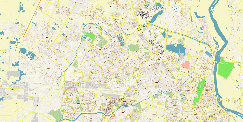
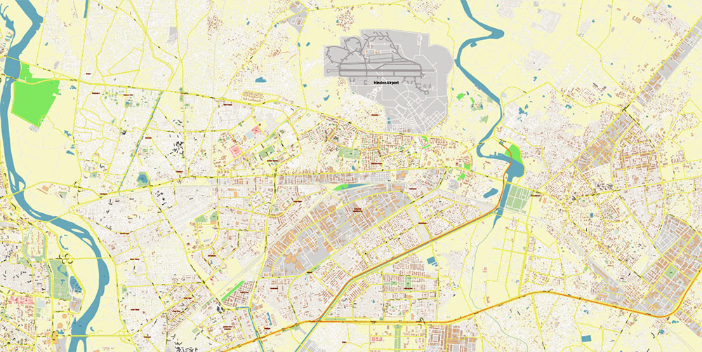
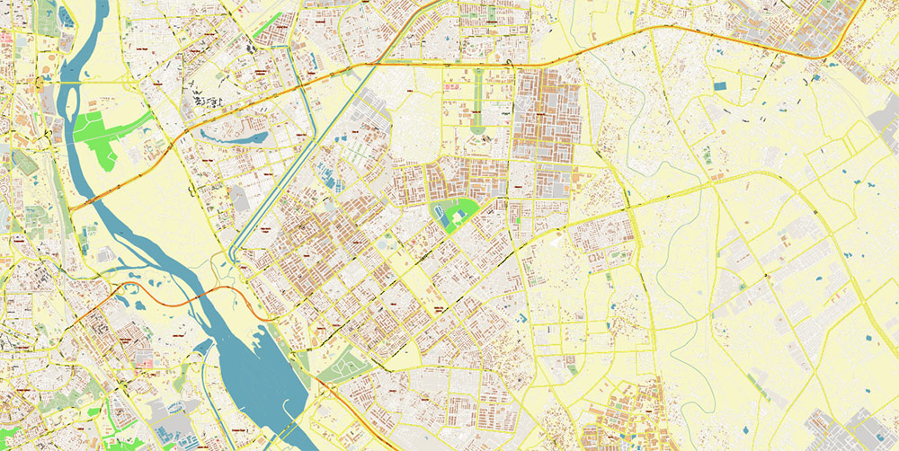
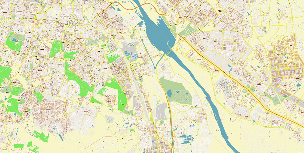
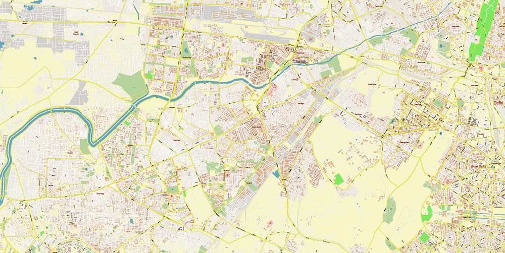
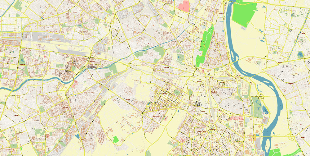
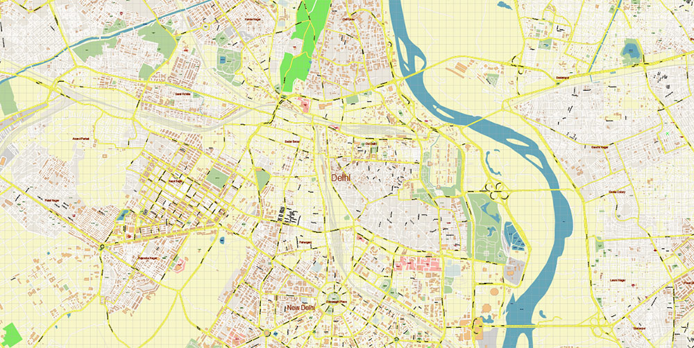
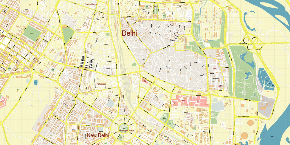
Printable Vector Map of Delhi and New Delhi India (metro area) detailed City Plan scale 1:4123 full editable Adobe Illustrator Street Map in layers, scalable, text format all names, 57 MB ZIP
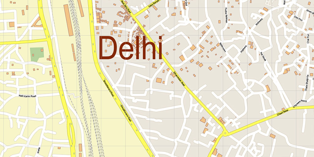
All street names, Main Objects, Buildings. Map for design, printing, arts, projects, presentations, for architects, designers, and builders, business, logistics.
Delhi and New Delhi India Map Vector Exact City Plan High Detailed Street Map editable Adobe Illustrator in layers
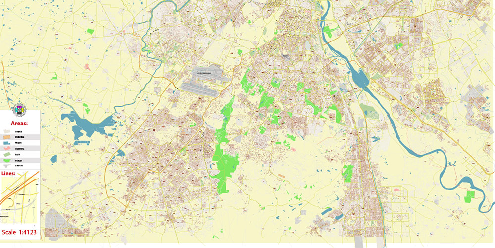
Layers list:
- Legend
- Grids
- Labels of roads
- Names of places (city, hamlet, etc.)
- Names of objects (hospitals, schools, parks, water)
- Names of main streets
- Names of civil streets
- Arrows of streets
- Main Streets, roads, railroads, lines
- Civil streets
- Railroads
- Buildings
- Airports and heliports
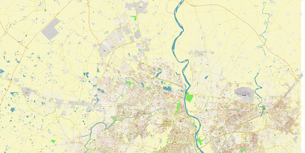
- Water objects (rivers, lakes, ponds)
- Waterways
- Color fills (parks, hospital areas, school areas, land use, etc.)
- Background
IF YOU NEED: We can add the layers with admin areas (counties) and zip codes areas and numbers to this map. It’s free for our customers.
Delhi and New Delhi India Map Vector Exact City Plan High Detailed Street Map editable Adobe Illustrator in layers
Delhi and New Delhi India Map Vector Exact City Plan High Detailed Street Map editable Adobe Illustrator in layers
Delhi and New Delhi India Map Vector Exact City Plan High Detailed Street Map editable Adobe Illustrator in layers
Delhi and New Delhi India Map Vector Exact City Plan High Detailed Street Map editable Adobe Illustrator in layers
Delhi and New Delhi India Map Vector Exact City Plan High Detailed Street Map editable Adobe Illustrator in layers
Delhi and New Delhi India Map Vector Exact City Plan High Detailed Street Map editable Adobe Illustrator in layers
Delhi and New Delhi India Map Vector Exact City Plan High Detailed Street Map editable Adobe Illustrator in layers
Delhi and New Delhi India Map Vector Exact City Plan High Detailed Street Map editable Adobe Illustrator in layers
Delhi and New Delhi India Map Vector Exact City Plan High Detailed Street Map editable Adobe Illustrator in layers
Delhi and New Delhi India Map Vector Exact City Plan High Detailed Street Map editable Adobe Illustrator in layers
Delhi and New Delhi India Map Vector Exact City Plan High Detailed Street Map editable Adobe Illustrator in layers

 Author: Kirill Shrayber, Ph.D. FRGS
