Extended Description of the Vector Map
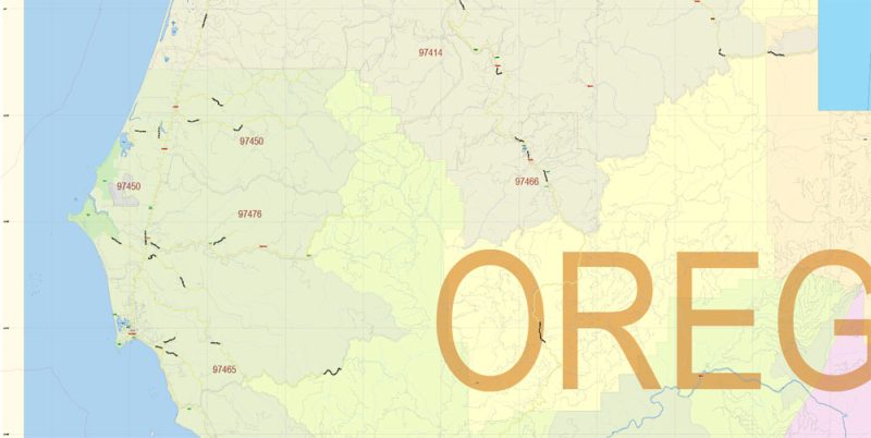
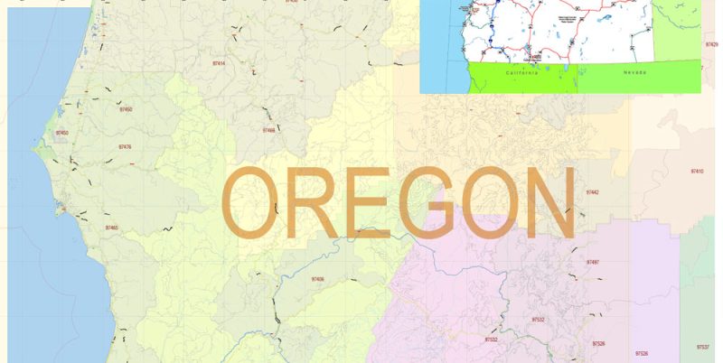
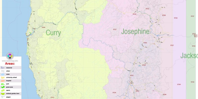
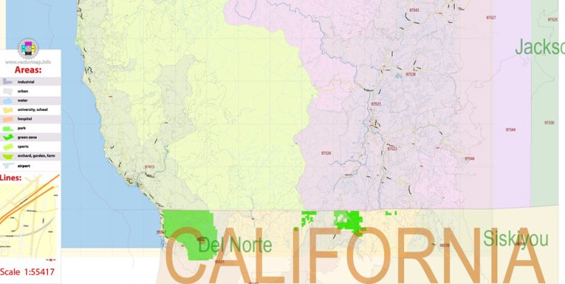
Printable Vector Map of Curry County Oregon US detailed County Plan Road Admin Zipcodes Map scale 1:55417 full editable Adobe Illustrator in layers, scalable, text format all names, 7 MB ZIP
All street names, Main Objects, Buildings, Counties, Zipcodes. Map for design, printing, arts, projects, presentations, for architects, designers, and builders, business, logistics.
Layers: color_fills, water, streets_roads, labels_roads, names_objects, names_streets, names_places, zipcodes_areas, county_areas, buildings, legend, etc.
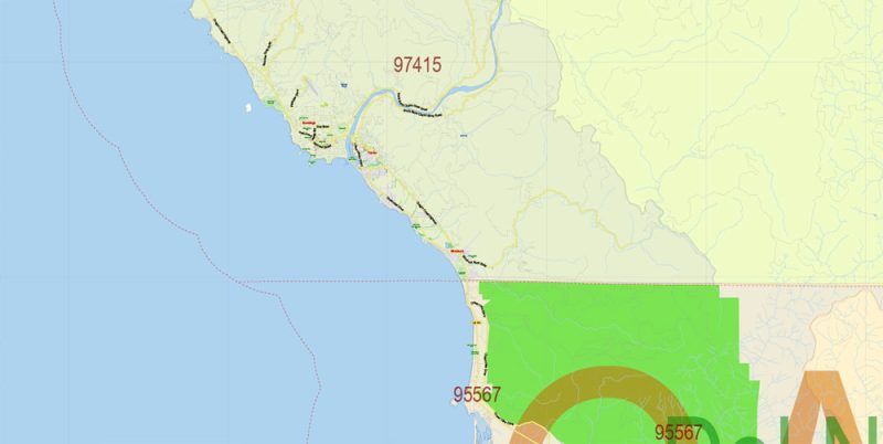
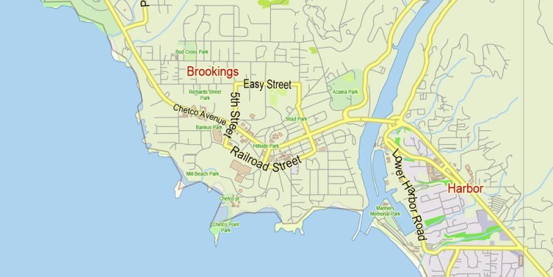
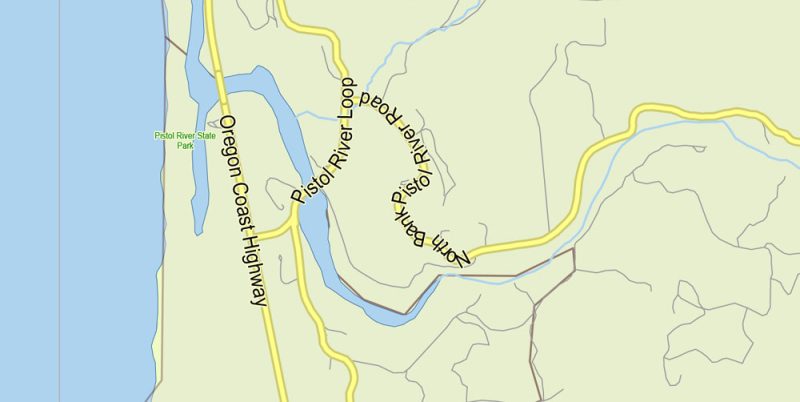
The most exact and detailed map of the county in scale.
For Editing and High-Quality Printing
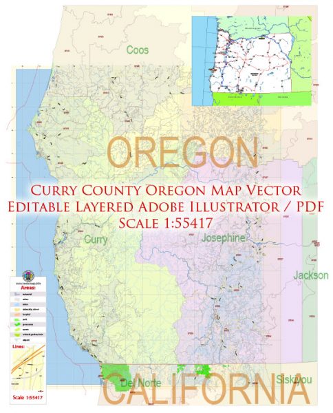
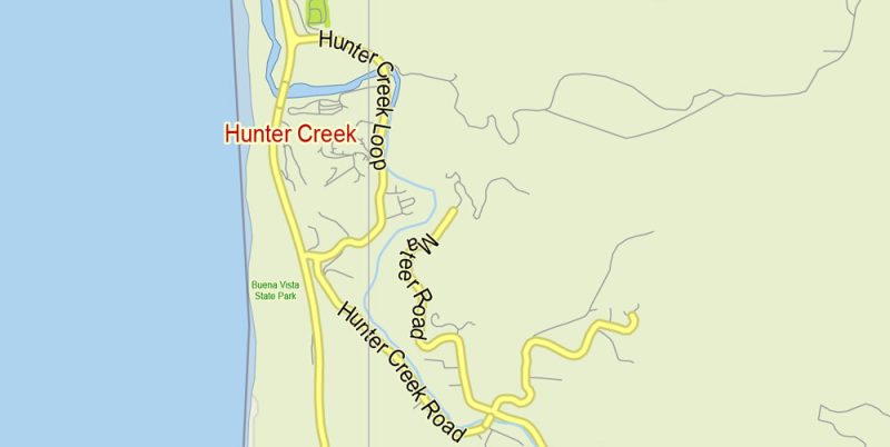
Curry County Oregon Map Vector Exact County Plan Detailed Road Admin Zipcodes Map editable Adobe Illustrator in layers
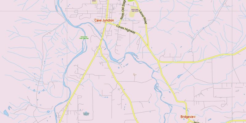
Curry County Oregon Map Vector Exact County Plan Detailed Road Admin Zipcodes Map editable Adobe Illustrator in layers
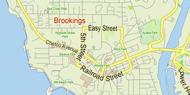
Curry County Oregon Map Vector Exact County Plan Detailed Road Admin Zipcodes Map editable Adobe Illustrator in layers
Curry County Oregon Map Vector Exact County Plan Detailed Road Admin Zipcodes Map editable Adobe Illustrator in layers
Curry County Oregon Map Vector Exact County Plan Detailed Road Admin Zipcodes Map editable Adobe Illustrator in layers
Curry County Oregon Map Vector Exact County Plan Detailed Road Admin Zipcodes Map editable Adobe Illustrator in layers
Curry County Oregon Map Vector Exact County Plan Detailed Road Admin Zipcodes Map editable Adobe Illustrator in layers
Curry County Oregon Map Vector Exact County Plan Detailed Road Admin Zipcodes Map editable Adobe Illustrator in layers
Curry County Oregon Map Vector Exact County Plan Detailed Road Admin Zipcodes Map editable Adobe Illustrator in layers
Curry County Oregon Map Vector Exact County Plan Detailed Road Admin Zipcodes Map editable Adobe Illustrator in layers
Curry County Oregon Map Vector Exact County Plan Detailed Road Admin Zipcodes Map editable Adobe Illustrator in layers


 Author: Kirill Shrayber, Ph.D. FRGS
