Extended Description of the Vector Map
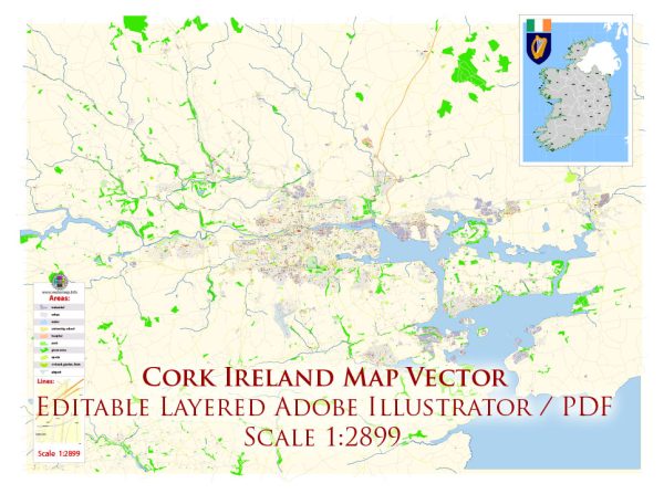
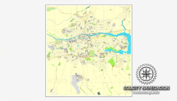
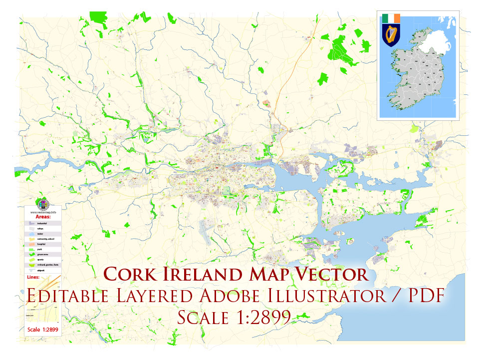
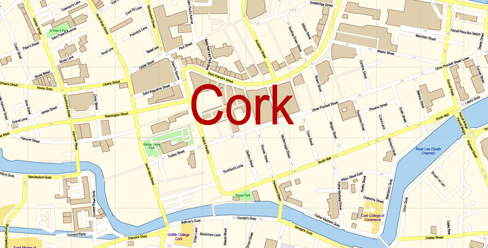
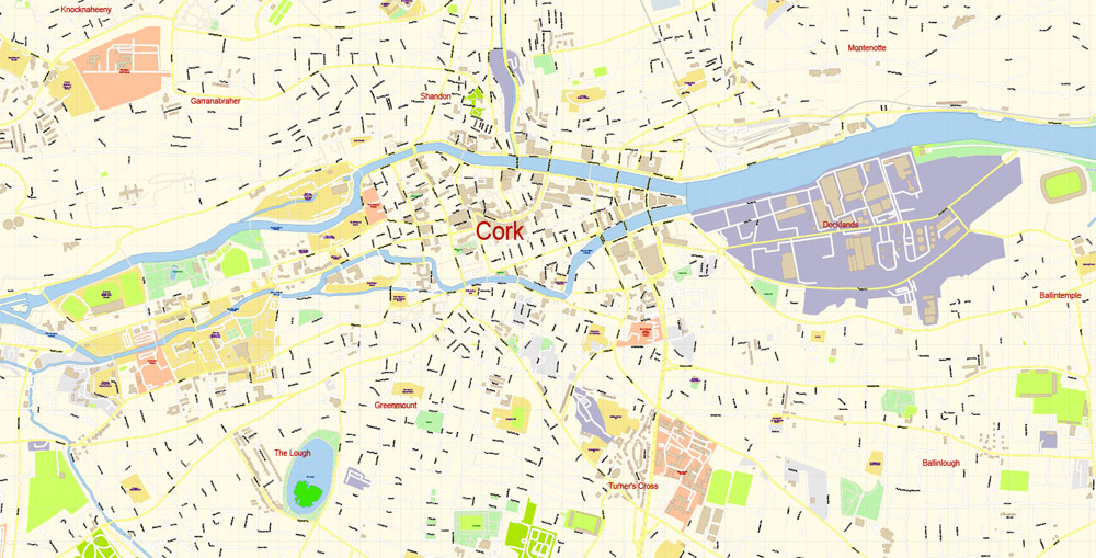
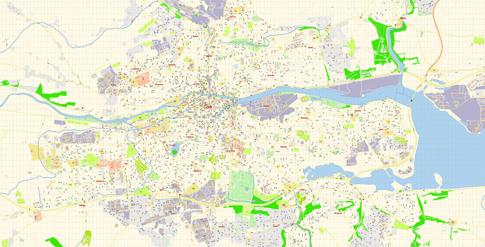
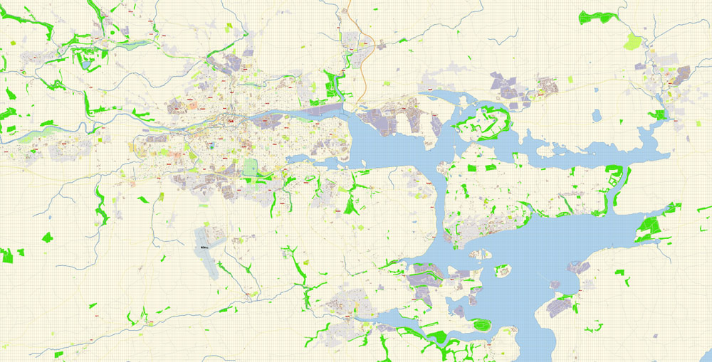
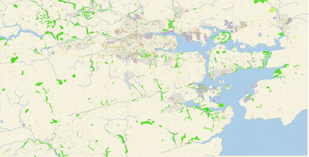
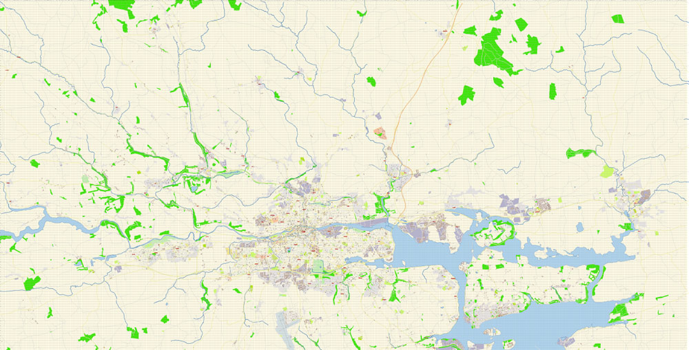
Printable DXF Vector Map of Cork Ireland detailed City Plan scale 100 m 1:2899 full editable Street Map AutoCAD DXF file in layers, scalable, text format all names, 45 MB ZIP
All street names, Main Objects, Buildings. Map for design, printing, arts, projects, presentations, for architects, designers, and builders, business, logistics.
Included: Admin map Ireland
Layers list:
- Legend
- Grids
- Labels of roads
- Names of places (city, hamlet, etc.)
- Names of objects (hospitals, schools, parks)
- Water objects (rivers, lakes)
- Names of streets
- Objects (icons)
- Arrows of streets
- Streets, roads, railroads, lines
- Buildings
- Color fills (parks, hospital areas, school areas, etc.)
- Back
The most exact and detailed map of the city in scale.
For Editing and High-Quality Printing
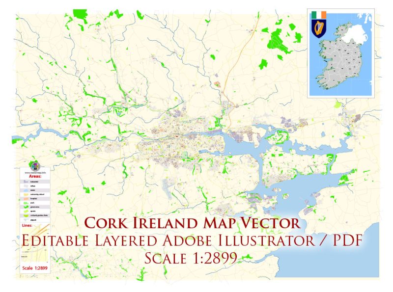
Cork Ireland DXF Map Vector Exact City Plan High Detailed Street Map editable AutoCAD DXF file in layers
Cork
City in the Republic of Ireland
Cork, just inland from Ireland’s southwest coast, is a university city with its center on an island in the River Lee, connected to the sea by Cork Harbour. The castlelike 1824 Cork City Gaol once held prisoners bound for Australia, and exhibitions relay the building’s history. The hilltop steeple of 18th-century Shandon Church (officially the Church of Saint Anne) is a symbol of the city.
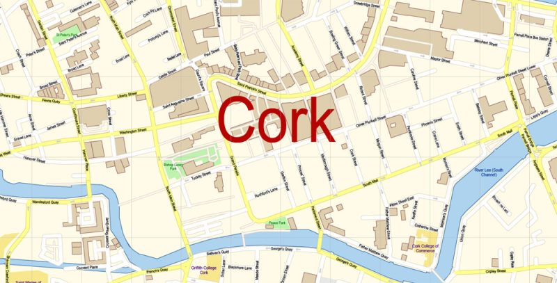
Cork Ireland DXF Map Vector Exact City Plan High Detailed Street Map editable AutoCAD DXF file in layers
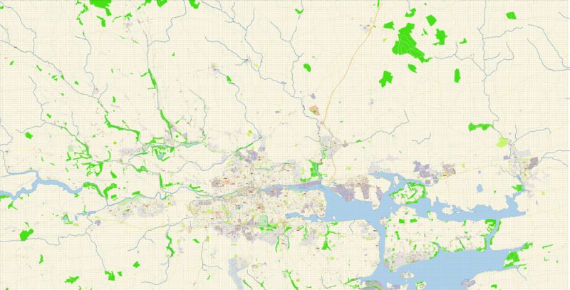
Cork Ireland DXF Map Vector Exact City Plan High Detailed Street Map editable AutoCAD DXF file in layers
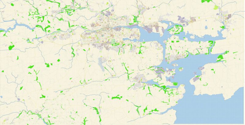
Cork Ireland DXF Map Vector Exact City Plan High Detailed Street Map editable AutoCAD DXF file in layers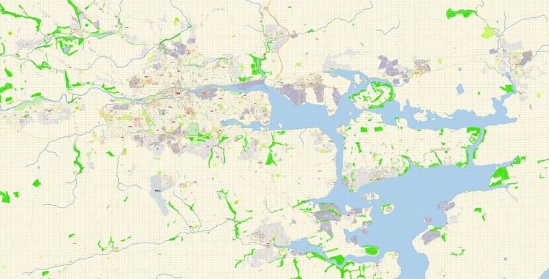
Cork Ireland DXF Map Vector Exact City Plan High Detailed Street Map editable AutoCAD DXF file in layers
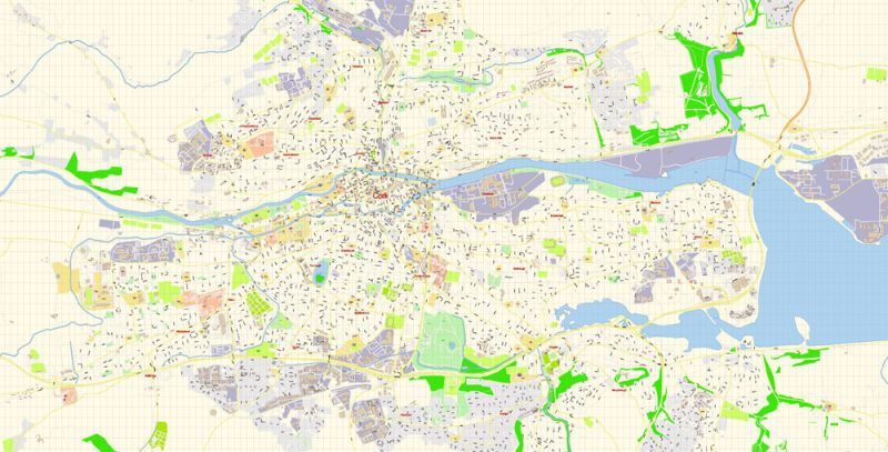
Cork Ireland DXF Map Vector Exact City Plan High Detailed Street Map editable AutoCAD DXF file in layers
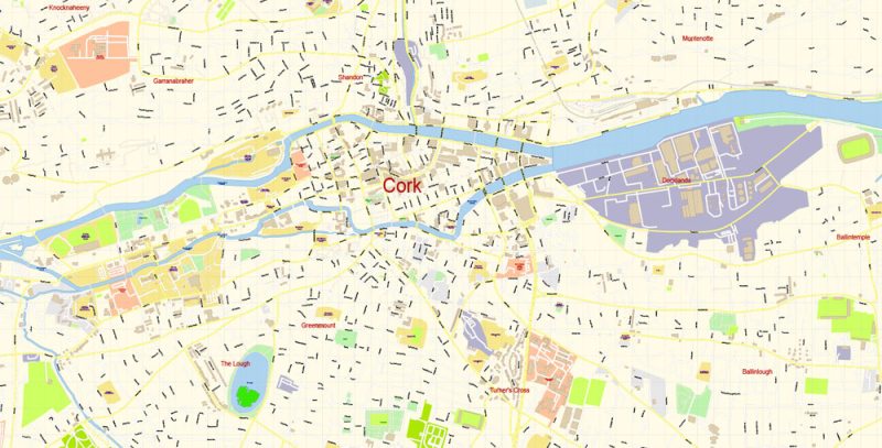
Cork Ireland DXF Map Vector Exact City Plan High Detailed Street Map editable AutoCAD DXF file in layers
Author Rating
Aggregate Rating
no rating based on 0 votes
@vectormapper
Product Name Cork Ireland DXF Map Vector Exact City Plan High Detailed Street Map editable AutoCAD DXF file in layers
Price
USD 33
Product Availability
Available in Stock



 Author: Kirill Shrayber, Ph.D. FRGS