Extended Description of the Vector Map
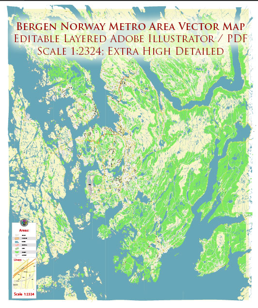
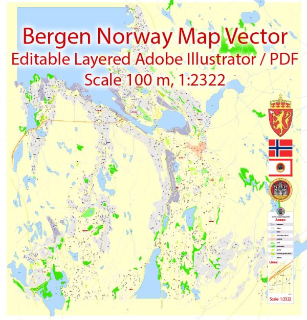
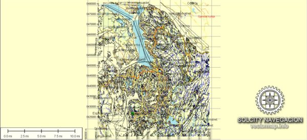
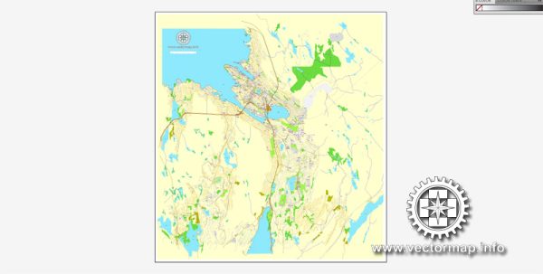
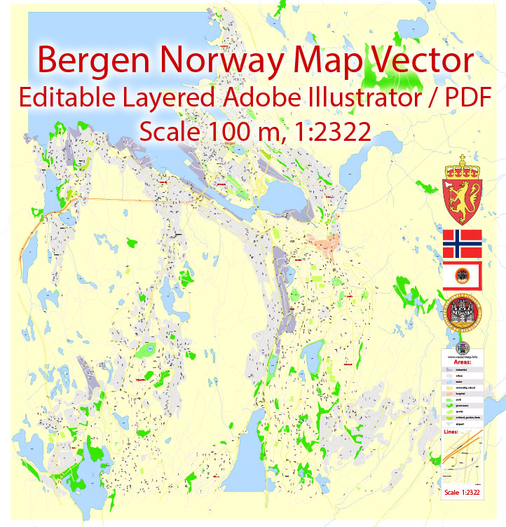
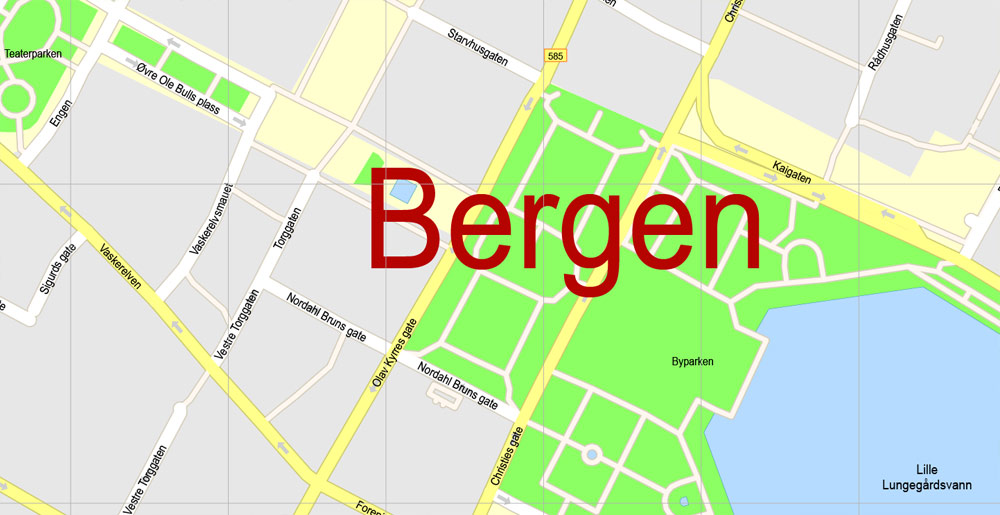
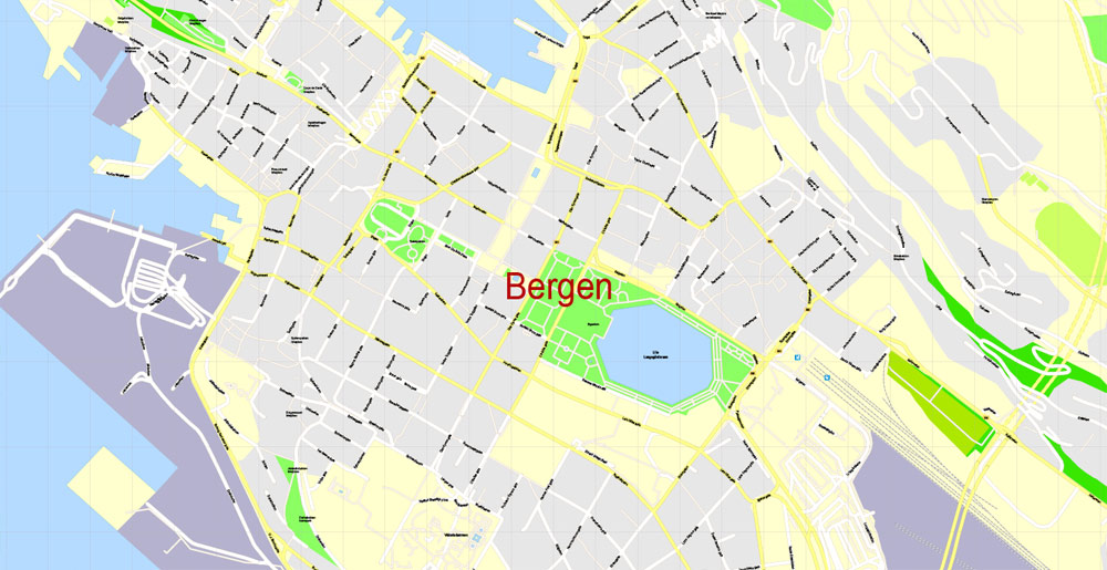
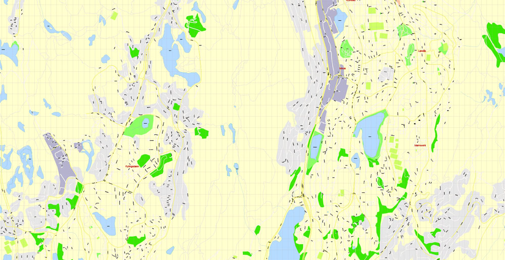
Printable Vector Map of Bergen Norway detailed City Plan scale 100 m 1:2322 full editable Adobe Illustrator Street Map in layers, scalable, text format all names, 3 MB ZIP
All street names, Main Objects. Map for design, printing, arts, projects, presentations, for architects, designers, and builders, business, logistics.
Layers: color_fills, water, streets_roads, labels_roads, names_objects, names_streets, names_places, arrows_streets, grids, legend, etc.
The most exact and detailed map of the city in scale.
For Editing and High-Quality Printing
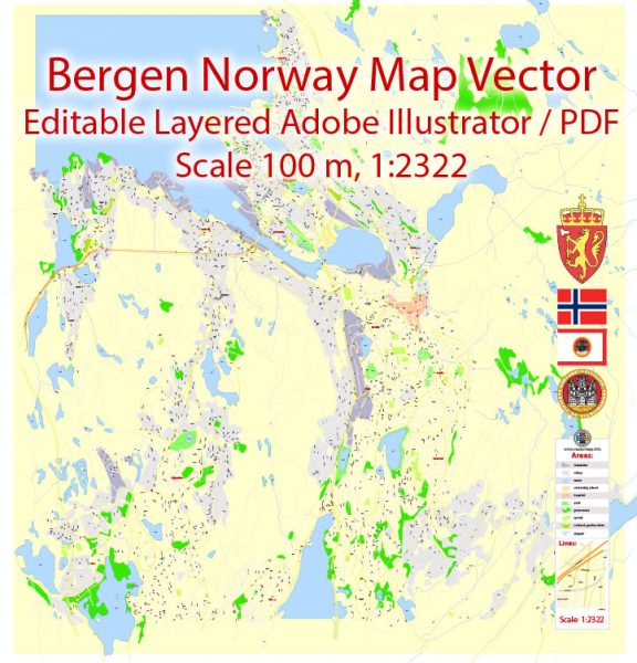
Bergen Norway Map Vector Grande Exact City Plan detailed Street Map editable Adobe Illustrator in layers
Bergen
Bergen is located on the banks of the horseshoe-shaped Wagen harbor, on seven hills. The city is called the capital of the Kingdom of the fjords or the gates to the fjords because it is from this city that all routes to the natural beauty of Norway begin. Bergen’s reputation is slightly tarnished by the rainy weather. They say it rains 300 days a year. Nevertheless, Bergen leaves unforgettable impressions in any weather.
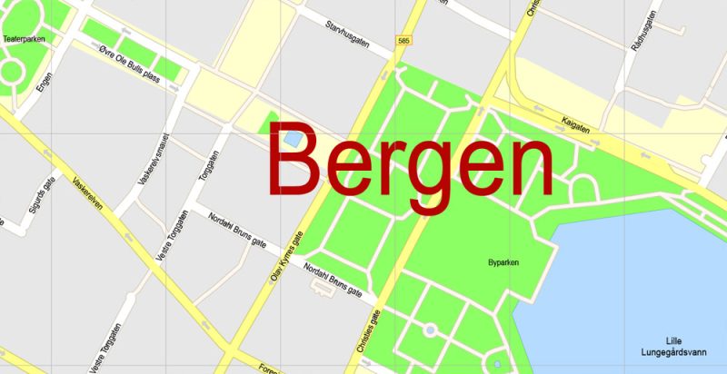
Bergen Norway Map Vector Grande Exact City Plan detailed Street Map editable Adobe Illustrator in layers
Bergen, the second largest city in Norway, was founded at the end of the XI century. In the XIII century, Bergen became the capital of the Norwegian Kingdom and the largest religious center, the Episcopal residence. A century later the title of capital passes to Oslo, and Bergen turns into one of the Central Hanseatic cities. The twentieth century caused terrible damage to the architecture of the city – in 1916 a terrible fire destroyed many wooden buildings, and in 1944 from the explosion of a Nazi ship in the Harbor was destroyed many city buildings.
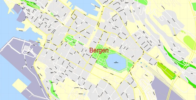
Bergen Norway Map Vector Grande Exact City Plan detailed Street Map editable Adobe Illustrator in layers
Bergen is surrounded on one side by the sea and on the other by high hills, one of which can be reached by the funicular Floibanen. The climb will take only 8 minutes, and from the height of the hill will have a beautiful view of the neatly tiled roofs of Bergen and the silver shimmering waters of the setting sun of the North Sea.
In the heart of the city is a favorite tourist colorful fish market, and near the waterfront Hanseatic merchants Bruggen, included in the UNESCO List of world cultural and natural heritage.
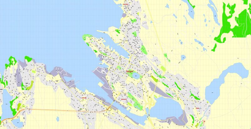
Bergen Norway Map Vector Grande Exact City Plan detailed Street Map editable Adobe Illustrator in layers
Bergen’s restaurants can satisfy most tastes and pockets. You can choose both exotic and more traditional dishes.
Bergen hosts an international music festival and a night jazz festival every year. No wonder in 2000 the city was chosen as one of the cultural cities of Europe.
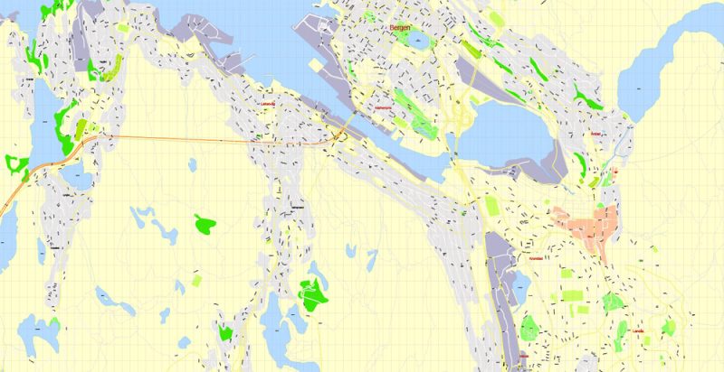
Bergen Norway Map Vector Grande Exact City Plan detailed Street Map editable Adobe Illustrator in layers
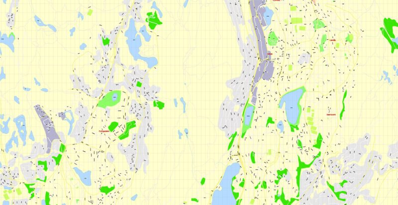
Bergen Norway Map Vector Grande Exact City Plan detailed Street Map editable Adobe Illustrator in layers
Author Rating
Aggregate Rating
no rating based on 0 votes
@vectormapper
Product Name Bergen Norway Map Vector Grande Exact City Plan detailed Street Map editable Adobe Illustrator in layers
Price
USD 29
Product Availability
Available in Stock





 Author: Kirill Shrayber, Ph.D. FRGS