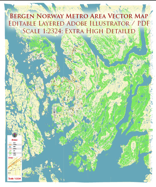
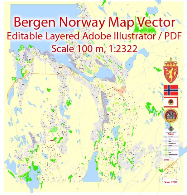
Bergen, Norway, have a well-developed and efficient transportation infrastructure.
Vectormap.Net provide you with the most accurate and up-to-date vector maps in Adobe Illustrator, PDF and other formats, designed for editing and printing. Please read the vector map descriptions carefully.
- Public Transportation:
- Buses: Bergen has an extensive network of buses operated by Skyss, the local public transportation company. These buses cover the city and its suburbs, providing a reliable means of transportation for residents and visitors.
- Light Rail (Bybanen): Bybanen is Bergen’s light rail system, connecting the city center with the southern suburbs. It’s a modern and environmentally friendly mode of transport, providing efficient service.
- Trains:
- Bergen Railway Station (Bergen Stasjon): The city is a major hub for the Norwegian railway network. The Bergen Railway connects Bergen with Oslo, providing a scenic journey through picturesque landscapes. The station itself is centrally located, making it easy for passengers to access other parts of the city.
- Airport:
- Bergen Airport, Flesland (Bergen lufthavn, Flesland): Located about 18 kilometers southwest of the city center, Bergen’s main airport provides domestic and international flights. It is the second-busiest airport in Norway and offers various transportation options to and from the city, including buses, taxis, and the airport shuttle service.
- Road Network:
- Highways and Roads: Bergen is well-connected by a network of highways and roads, facilitating smooth transportation within the city and to nearby regions. The road system includes tunnels and bridges that traverse the challenging terrain of the western part of Norway.
- Cycling and Pedestrian Infrastructure:
- Bergen has been working on enhancing its cycling infrastructure and promoting sustainable transportation. There are dedicated bike lanes and pedestrian-friendly areas in the city, encouraging non-motorized modes of transportation.
- Ferries:
- Harbor: Bergen’s harbor is a key element of its transportation infrastructure. Ferries and boats connect Bergen to nearby islands and coastal areas. The city’s maritime connections contribute to its historical significance and cultural identity.
- Taxis and Ridesharing:
- Taxis are readily available in Bergen, offering an additional mode of transportation for residents and visitors. Ridesharing services may also operate in the city, providing convenient alternatives.
- Car Rentals:
- Various car rental agencies operate in Bergen, providing options for those who prefer to explore the region by car.
It’s advisable to check for any updates or changes in the transportation infrastructure of Bergen, as developments and improvements may have occurred.


 Author: Kirill Shrayber, Ph.D.