Extended Description of the Vector Map
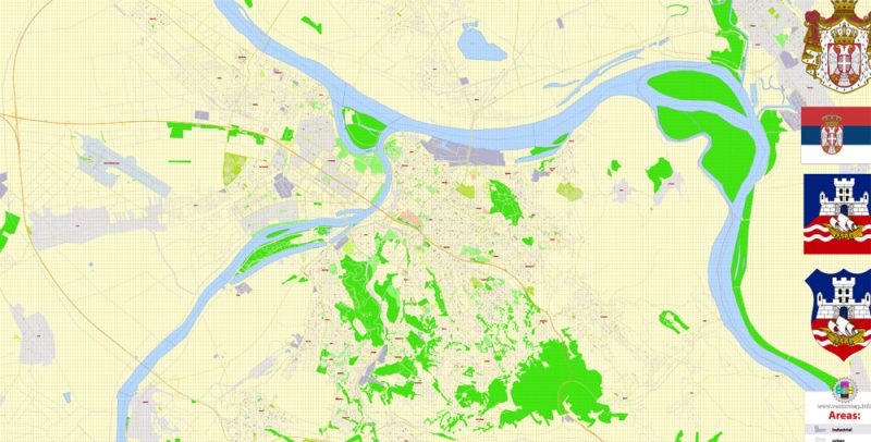
Printable Vector PDF Map of Belgrade Serbia detailed City Plan scale 100 m 1:3333 full editable Adobe PDF Street Map in layers, scalable, text format all names, 18 MB ZIP
All street names, Main Objects. Map for design, printing, arts, projects, presentations, for architects, designers, and builders, business, logistics.
Layers: color_fills, water, streets_roads, labels_roads, names_objects, names_streets, names_places, arrows_streets, grids, legend, etc.
The most exact and detailed map of the city in scale.
For Editing and High-Quality Printing
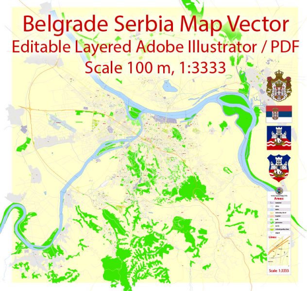
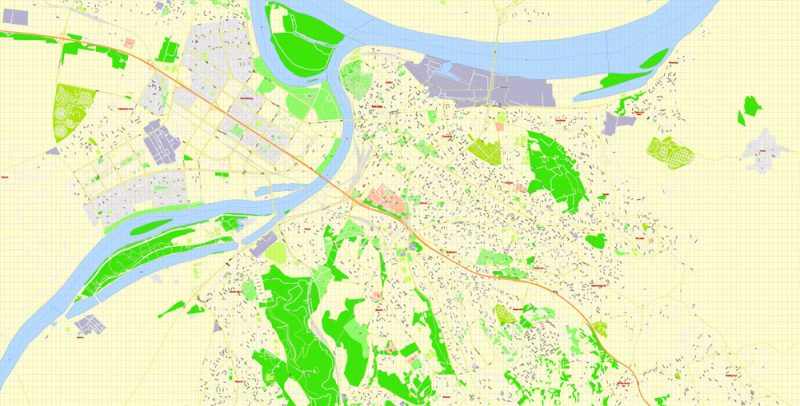
Belgrade Serbia PDF Map Vector Grande Exact City Plan detailed Street Map editable Adobe PDF in layers
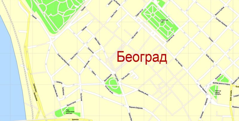
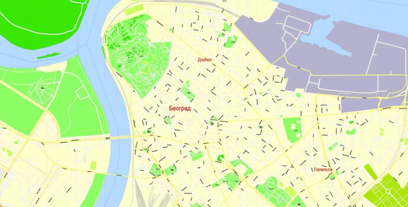
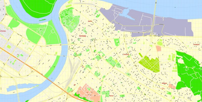
Belgrade
Belgrade is the capital and the largest city of Serbia, located in the Central part of the country, at the confluence of the rivers Sava and Danube. The origins of the city date back to the era of the Celts, who founded at the confluence of the rivers the Sava and the Danube their settlement Singidunum. In the turbulent past, Belgrade was conquered by 40 armies, and 38 times it was rebuilt from the ashes. The ancient walls of the city have seen the Celts and Romans, Goths and Franks, Slavs and Ottomans. For centuries, Belgrade was captured by Austrians, Turks, and Germans.
Belgrade Serbia PDF Map Vector Grande Exact City Plan detailed Street Map editable Adobe PDF in layers
Turbulent and bloody historical events destroyed in Belgrade almost everything that could testify to its distant past. Only the walls of the ancient Kalemegdan fortress and a few buildings of the XIX century in the Turkish–Serbian style reminiscent of bygone times.
Belgrade Serbia PDF Map Vector Grande Exact City Plan detailed Street Map editable Adobe PDF in layers
Kalemegdan fortress is located in the North of the city, where the Sava flows into the Danube, at an altitude of 110 m above sea level and dominates the surrounding plains. From the walls of the fortress offers a picturesque landscape. Now there is a Military Museum with an outdoor exhibition. On the terraces of the Park, there is a Zoological garden.
Belgrade Serbia PDF Map Vector Grande Exact City Plan detailed Street Map editable Adobe PDF in layers
Next to the fortress is the Old Town — the oldest part of Belgrade. Now among its winding streets are concentrated most of the museums of the capital, here are the most expensive restaurants and carefully restored in the days of Yugoslavia palaces.
Belgrade Serbia PDF Map Vector Grande Exact City Plan detailed Street Map editable Adobe PDF in layers
The new town grew to the South of the Belgrade fortress, its bright and spacious quarters built with the latest architecture, with many parks, alleys, and boulevards framed by modern buildings.
The National Museum contains finds of the prehistoric period and the ancient era, the works of medieval masters. There is a Department of numismatics and manuscripts, a rich library. Of particular interest is the Gallery of fine arts, which presents a rich collection, ranging from frescoes of the XII century., historical paintings by Paia Jovanovic to works by contemporary artists. Widely presents the work of sculptor Yvonne Meštrović — masters on a global scale. The gallery displays world masterpieces by artists such as van Dyck, Sisley, Corot, Renoir, van Gogh, Gauguin.
Belgrade Serbia PDF Map Vector Grande Exact City Plan detailed Street Map editable Adobe PDF in layers
The Ethnographic Museum, one of the best in the world, is housed in the former exchange building on Student square. It presents all the richness and diversity of folk costumes of Yugoslavia, samples of folk rural architecture, Handicrafts and household items of different eras. Interesting exhibitions devoted to folklore, folk music, and dance, musical instruments.


 Author: Kirill Shrayber, Ph.D. FRGS
