Extended Description of the Vector Map
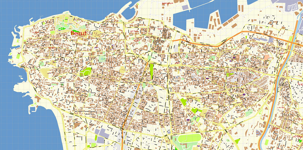
Printable Beirut Lebanon Vector Map 1971 high detailed layered Adobe Illustrator, All streets and roads, Water objects, in Mercator Projection fully editable, Adobe Illustrator in layers, full vector, scalable, text / curves format names, 7 mb ZIP
All street and roads with names (latin), Water areas, Buildings. Map for design, printing, arts, projects, presentations, for architects, designers and builders, business, logistics, education.
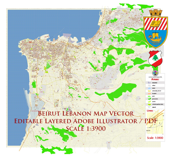
Beirut Lebanon Vector Map 1971 high detailed layered Adobe Illustrator
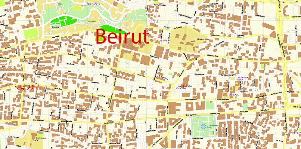
Layers:
- Legend
- Grids
- Road labels
- Names Places
- Names objects
- Names main streets
- Names residencial streets
- Arrows of the street directions
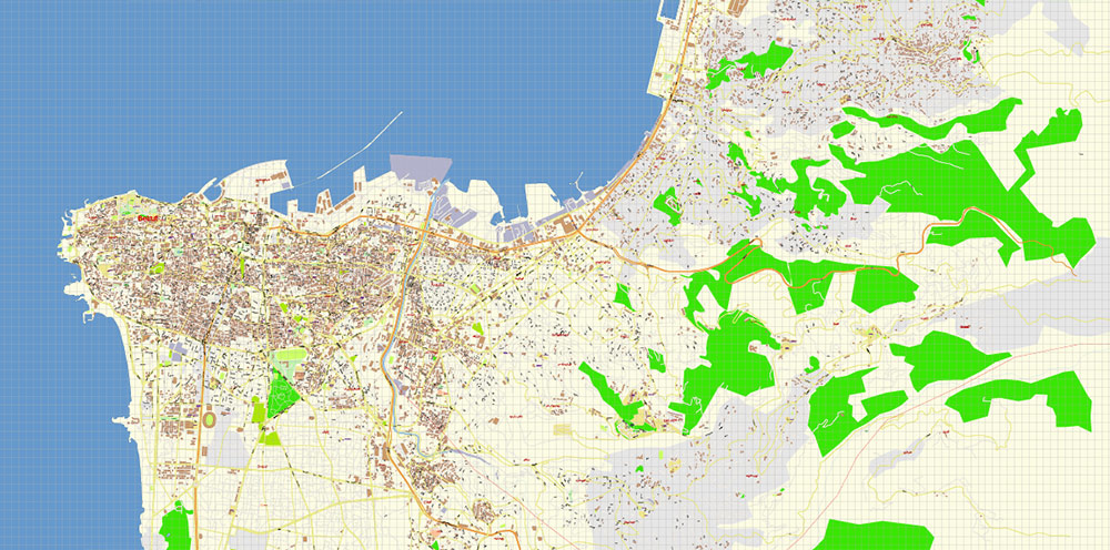
- Main streets and roads
- Residencial roads and streets
- Buildings
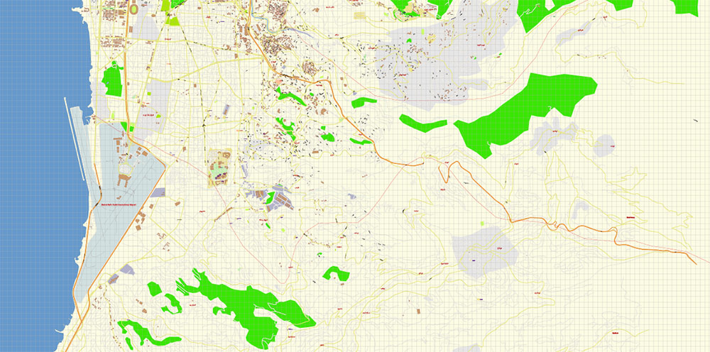
- Water objects (areas)
- Waterways
- Landuse areas
- Background and Sea
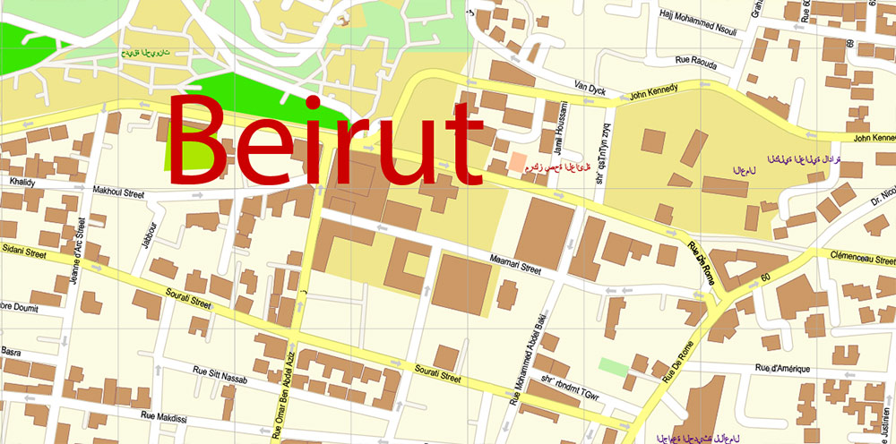
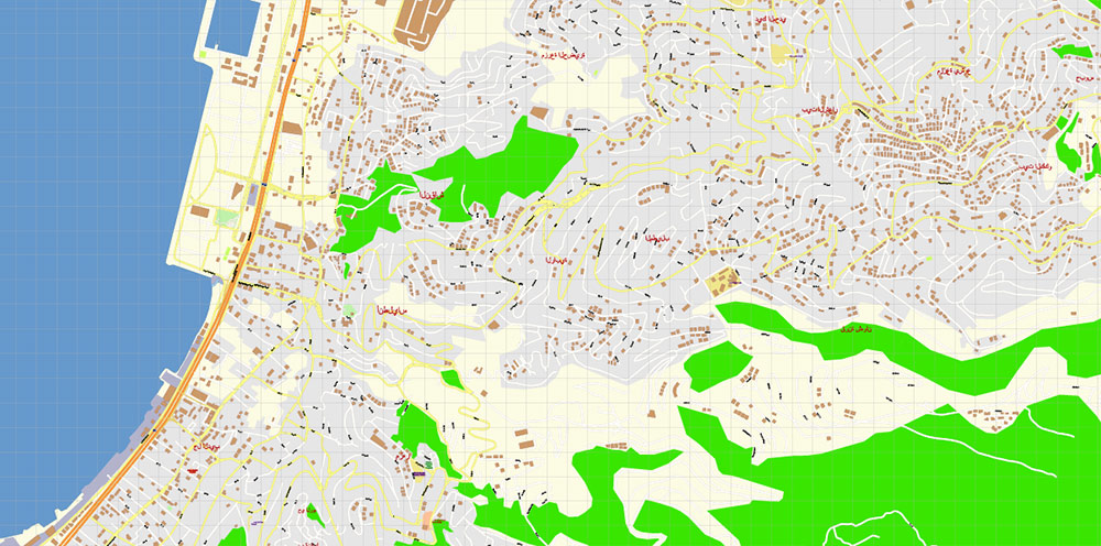
Beirut Lebanon Vector Map 1971 high detailed layered Adobe Illustrator
Beirut Lebanon Vector Map 1971 high detailed layered Adobe Illustrator
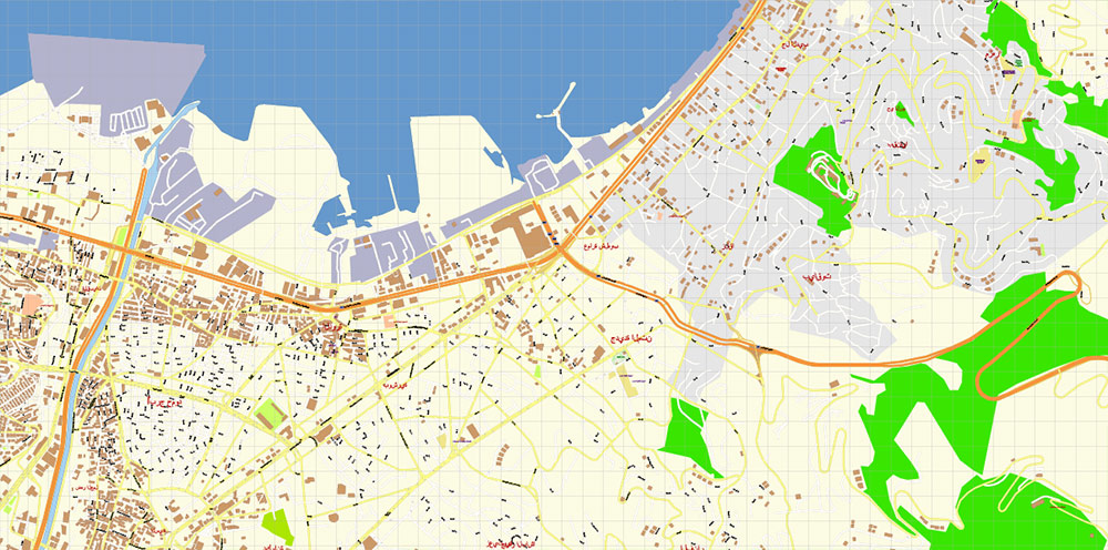
Beirut Lebanon Vector Map 1971 high detailed layered Adobe Illustrator
Beirut Lebanon Vector Map 1971 high detailed layered Adobe Illustrator
Beirut Lebanon Vector Map 1971 high detailed layered Adobe Illustrator
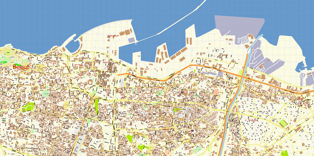
Beirut Lebanon Vector Map 1971 high detailed layered Adobe Illustrator
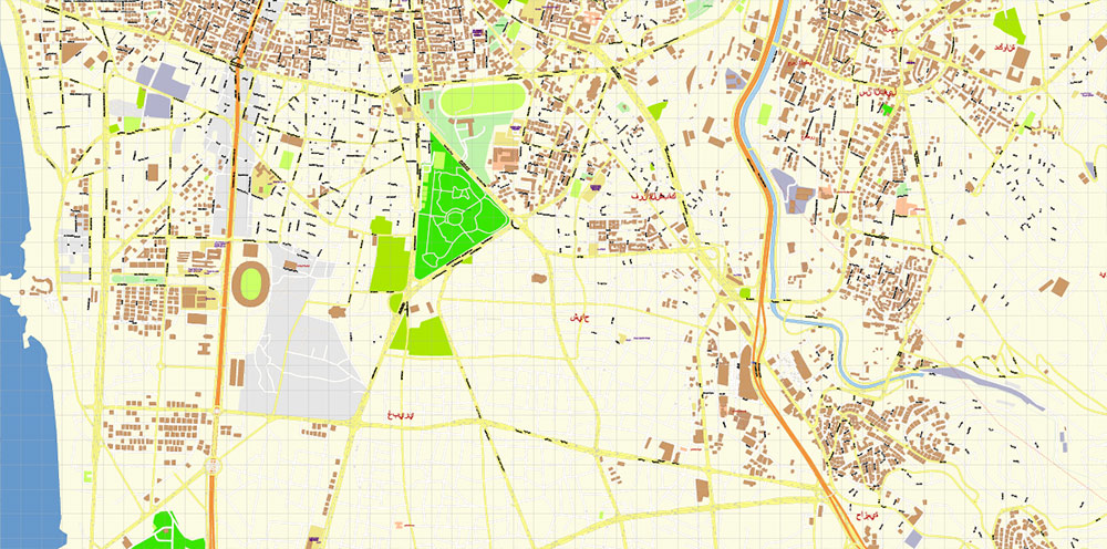
Beirut Lebanon Vector Map 1971 high detailed layered Adobe Illustrator
Beirut Lebanon Vector Map 1971 high detailed layered Adobe Illustrator
Beirut Lebanon Vector Map 1971 high detailed layered Adobe Illustrator

 Author: Kirill Shrayber, Ph.D. FRGS
