Extended Description of the Vector Map
Printable PDF Vector Map of Basel Switzerland Low Detailed (for small print size) City Plan scale 1:50707 full editable Adobe PDF Street Map in layers, scalable, text / curves format all names, 25 MB ZIP
Principal street names, Main Objects, Buildings. Map for design, printing, arts, projects, presentations, for architects, designers, and builders, business, logistics.
Need AutoCAD DWG / DXF or other format? Please, contact us!
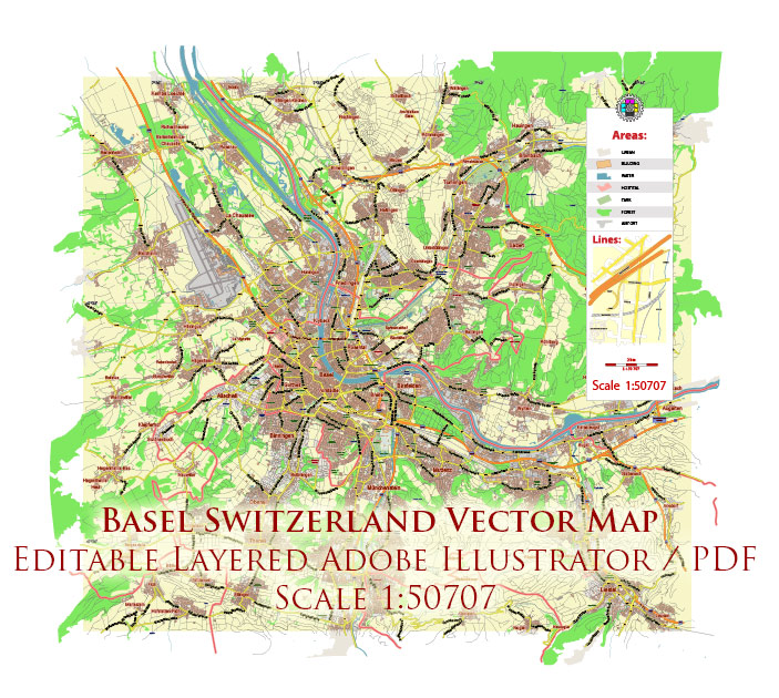
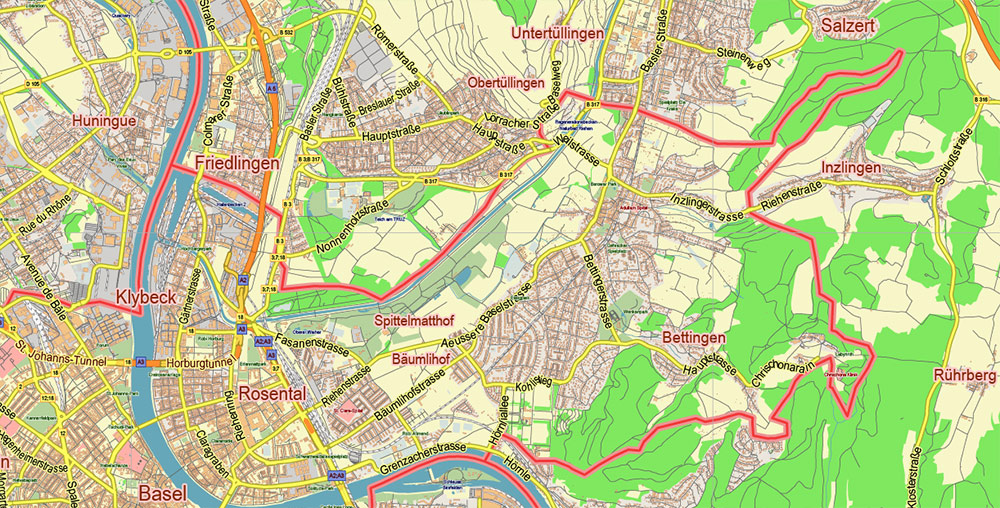
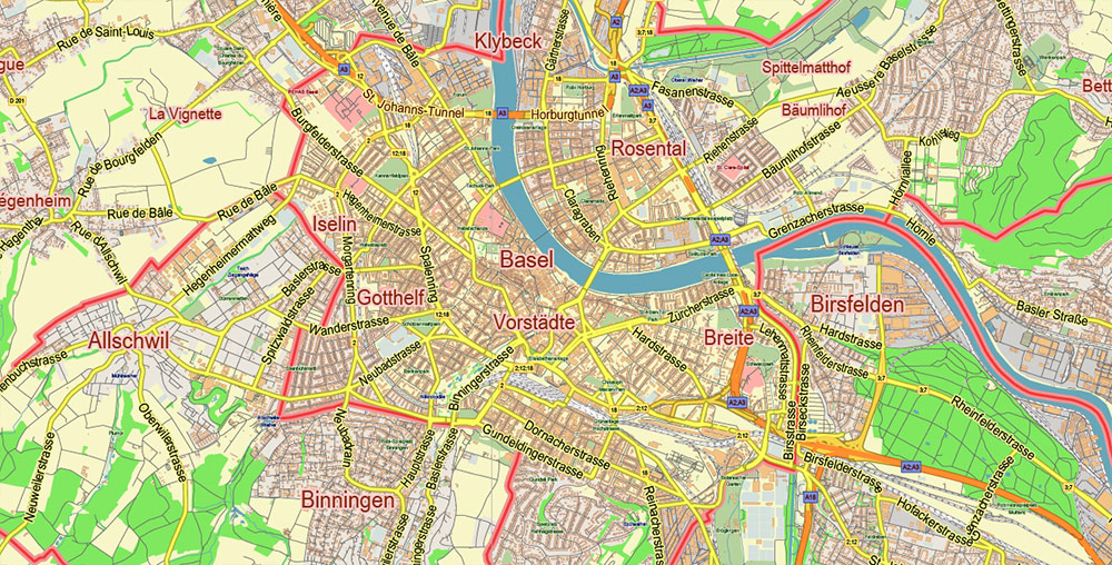
Basel Switzerland PDF Vector Map: City Plan Low Detailed (for small print size) Street Map editable Adobe PDF in layers
Layers list:
- Legend
- Grids
- Labels of roads
- Names of places (city, hamlet, etc.)
- Names of objects (hospitals, parks, water)
- Names of main streets
- Halo names streets, objects and places (3)
- Main Streets, roads
- Civil streets
- Railroads
- Buildings
- Airports and heliports
- Water objects (rivers, lakes, ponds)
- Waterways
- Color fills (parks, hospital areas, land use, etc.)
- Background
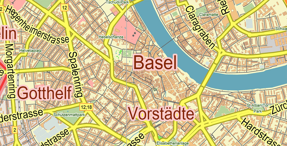
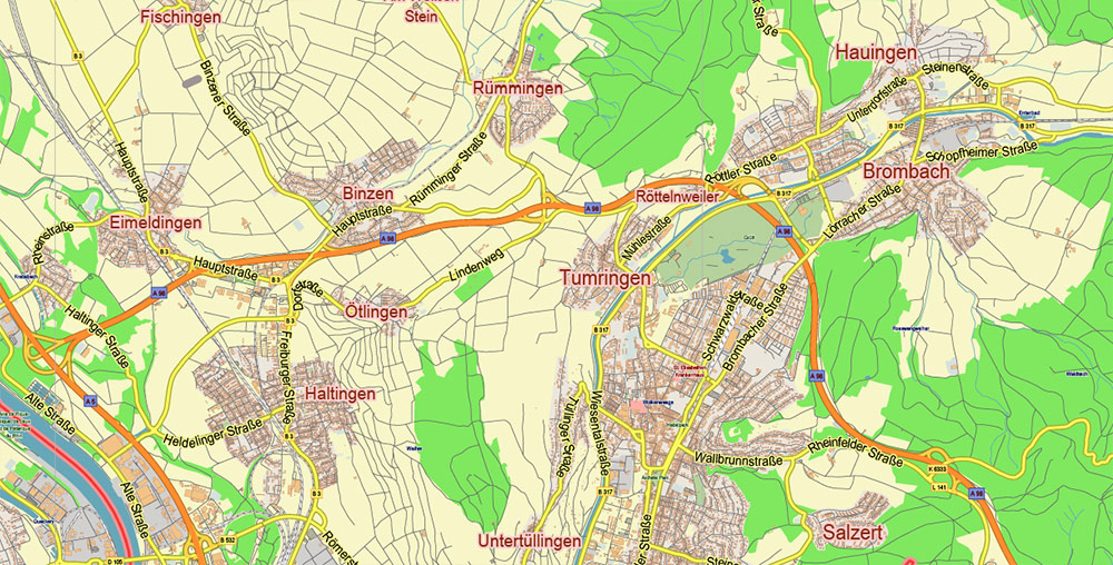
Basel Switzerland PDF Vector Map: City Plan Low Detailed (for small print size) Street Map editable Adobe PDF in layers
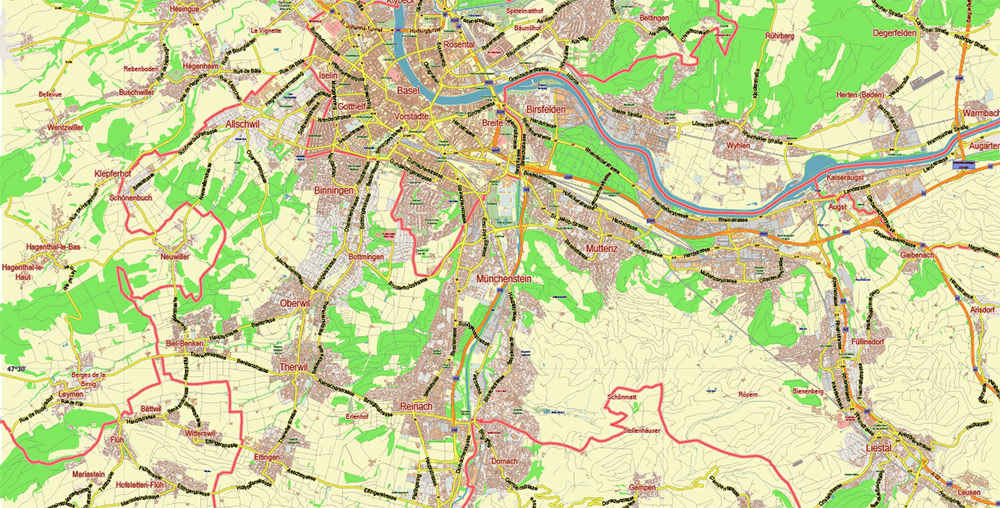
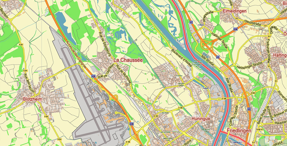
Basel Switzerland PDF Vector Map: City Plan Low Detailed (for small print size) Street Map editable Adobe PDF in layers
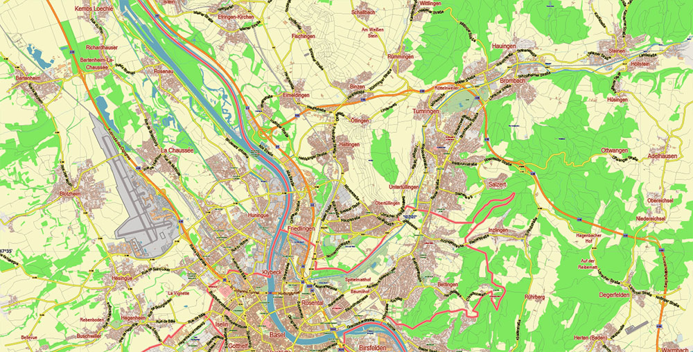
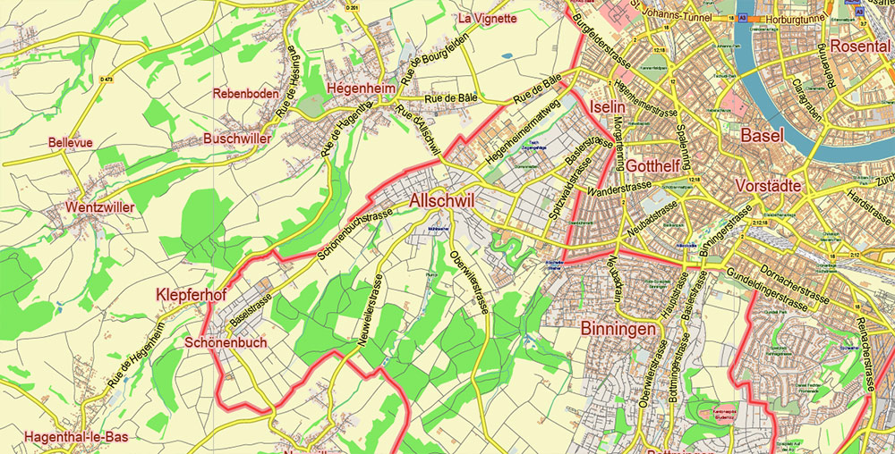
Basel Switzerland PDF Vector Map: City Plan Low Detailed (for small print size) Street Map editable Adobe PDF in layers
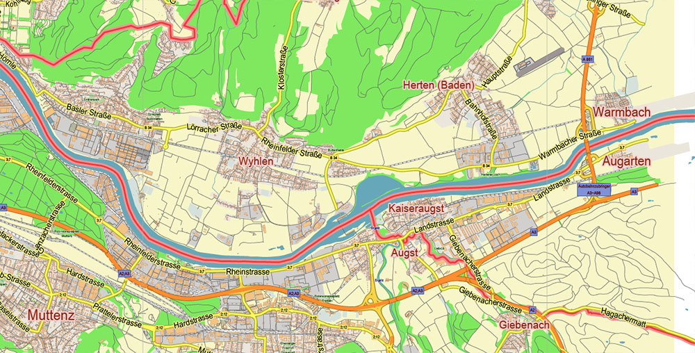
Basel Switzerland PDF Vector Map: City Plan Low Detailed (for small print size) Street Map editable Adobe PDF in layers
Basel Switzerland PDF Vector Map: City Plan Low Detailed (for small print size) Street Map editable Adobe PDF in layers
Basel Switzerland PDF Vector Map: City Plan Low Detailed (for small print size) Street Map editable Adobe PDF in layers

Basel Switzerland PDF Vector Map: City Plan Low Detailed (for small print size) Street Map editable Adobe PDF in layers
Basel Switzerland PDF Vector Map: City Plan Low Detailed (for small print size) Street Map editable Adobe PDF in layers
Basel Switzerland PDF Vector Map: City Plan Low Detailed (for small print size) Street Map editable Adobe PDF in layers
Basel Switzerland PDF Vector Map: City Plan Low Detailed (for small print size) Street Map editable Adobe PDF in layers

 Author: Kirill Shrayber, Ph.D. FRGS

 Street Map editable Adobe Illustrator in layers")