Extended Description of the Vector Map
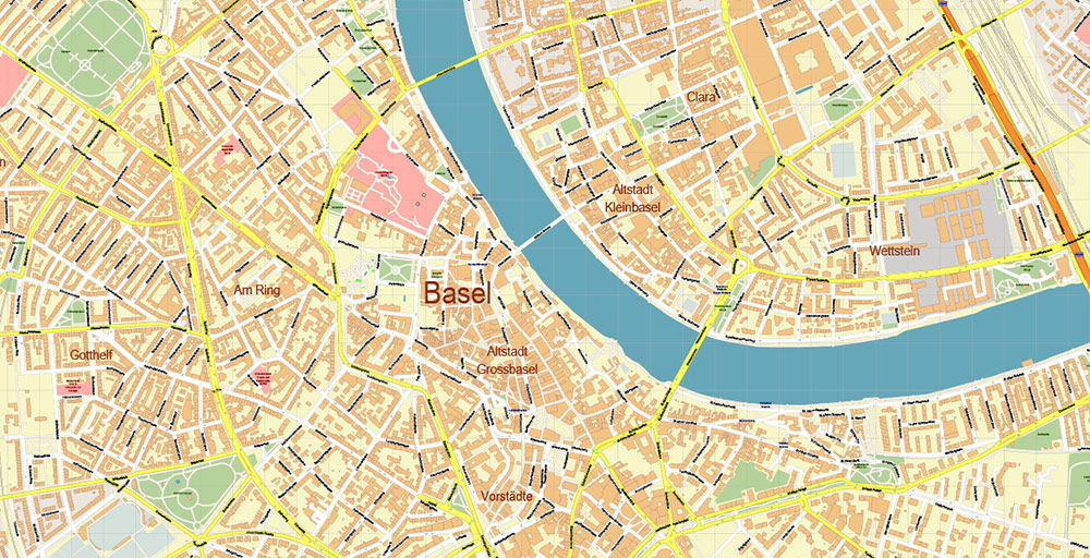
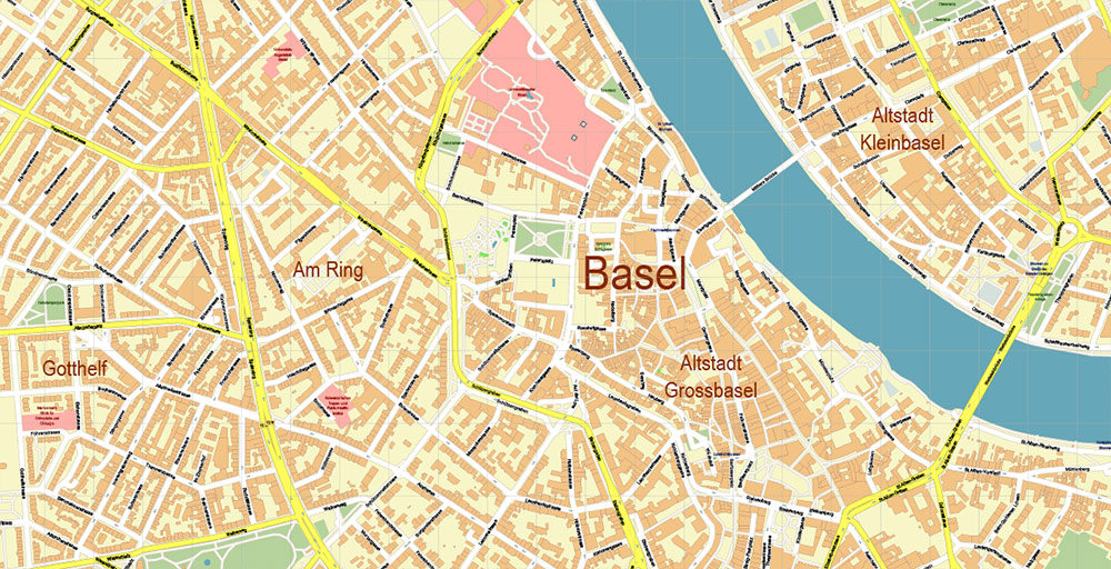
Printable Vector Map of Basel Switzerland detailed City Plan scale 1:3169 full editable Adobe Illustrator Street Map in layers, scalable, text / curves format all names, 23 MB ZIP
All street names, Main Objects, Buildings. Map for design, printing, arts, projects, presentations, for architects, designers, and builders, business, logistics.
Need AutoCAD DWG / DXF or other format? Please, contact us!
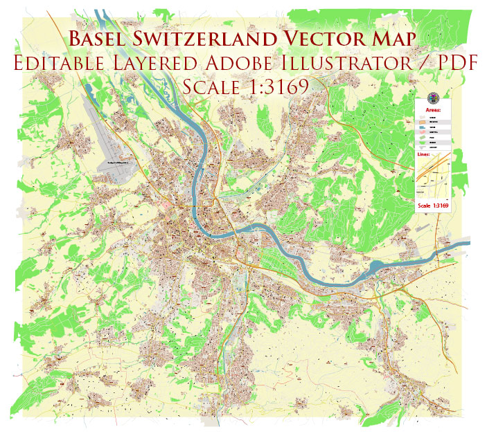
Basel Switzerland Map Vector Accurate High Detailed City Plan editable Adobe Illustrator Street Map in layers
Layers list:
- Legend
- Grids
- Labels of roads
- Names of places (city, hamlet, etc.)
- Names of objects (hospitals, parks, water)
- Names of main streets
- Names of civil streets
- Arrows of street drive direction
- Main Streets, roads
- Civil streets
- Railroads
- Buildings
- Airports and heliports
- Water objects (rivers, lakes, ponds)
- Waterways
- Color fills (parks, hospital areas, land use, etc.)
- Background
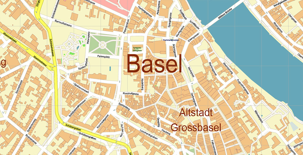
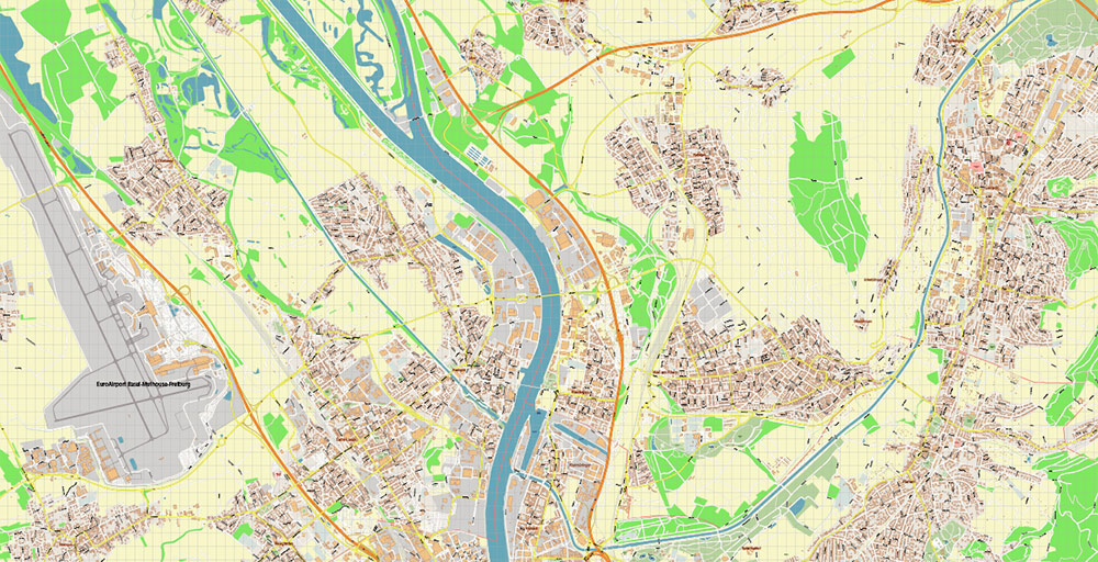
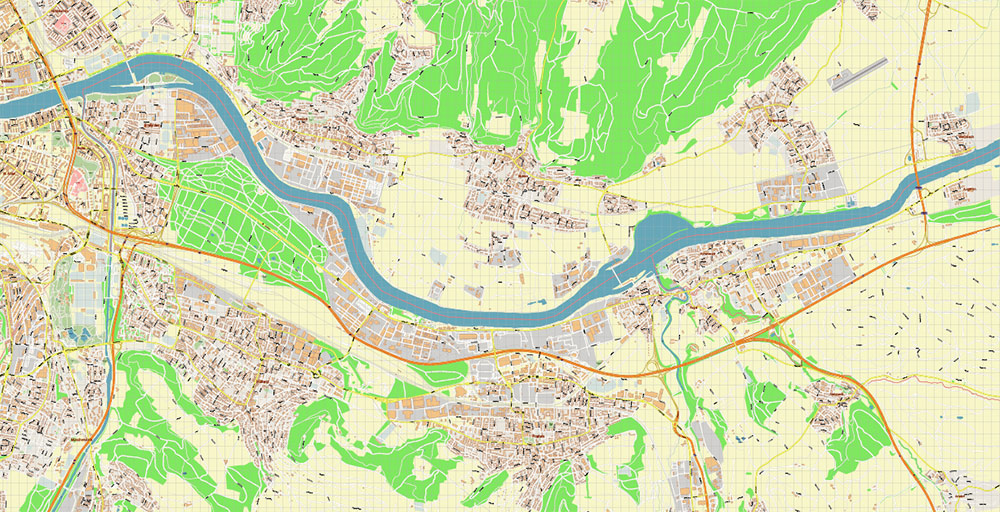
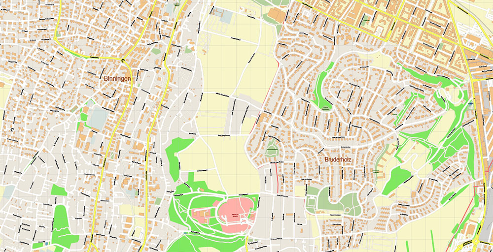
Basel Switzerland Map Vector Accurate High Detailed City Plan editable Adobe Illustrator Street Map in layers
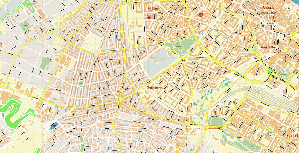
Basel Switzerland Map Vector Accurate High Detailed City Plan editable Adobe Illustrator Street Map in layers
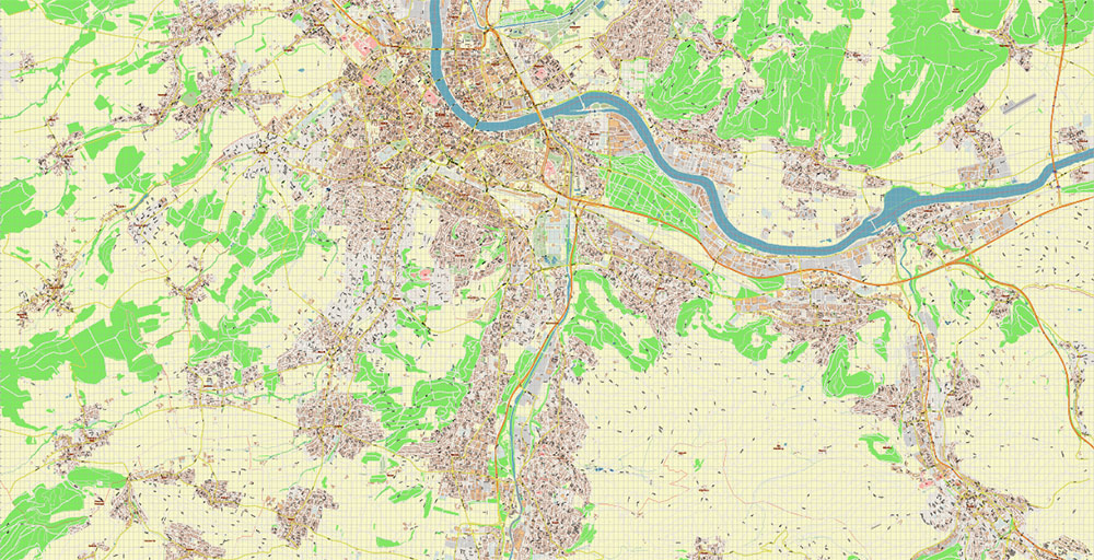
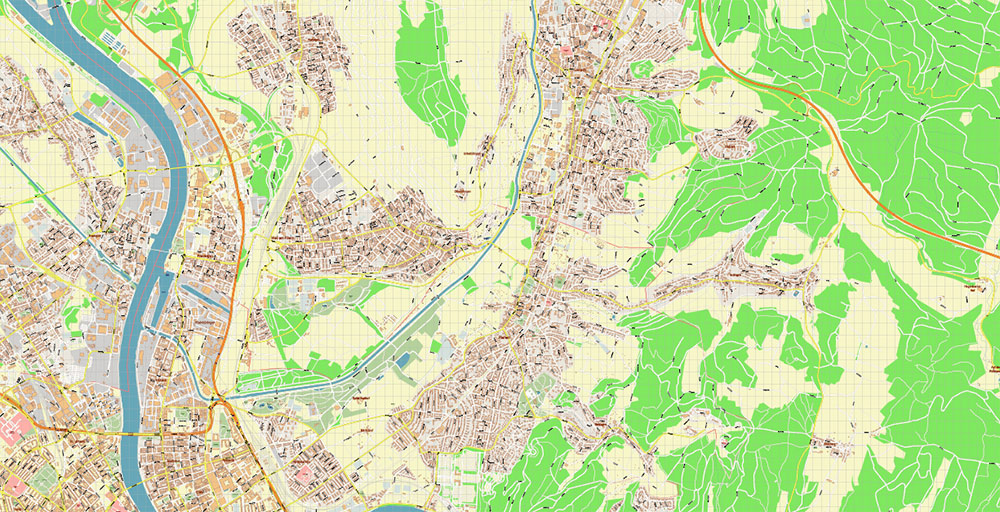
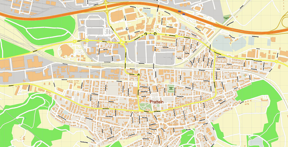
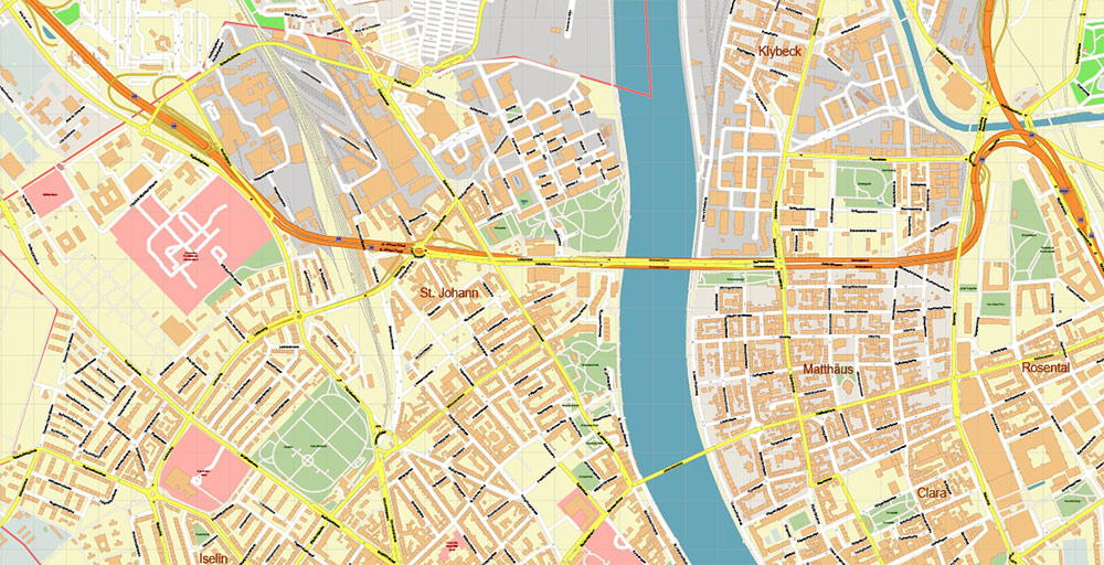
Basel Switzerland Map Vector Accurate High Detailed City Plan editable Adobe Illustrator Street Map in layers
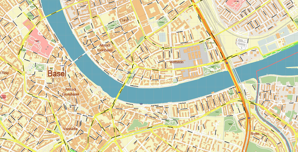
Basel Switzerland Map Vector Accurate High Detailed City Plan editable Adobe Illustrator Street Map in layers
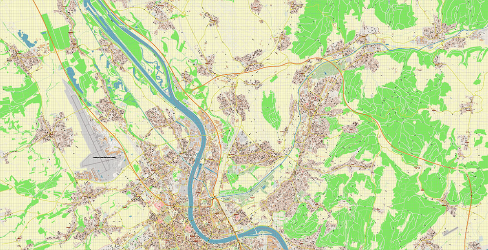
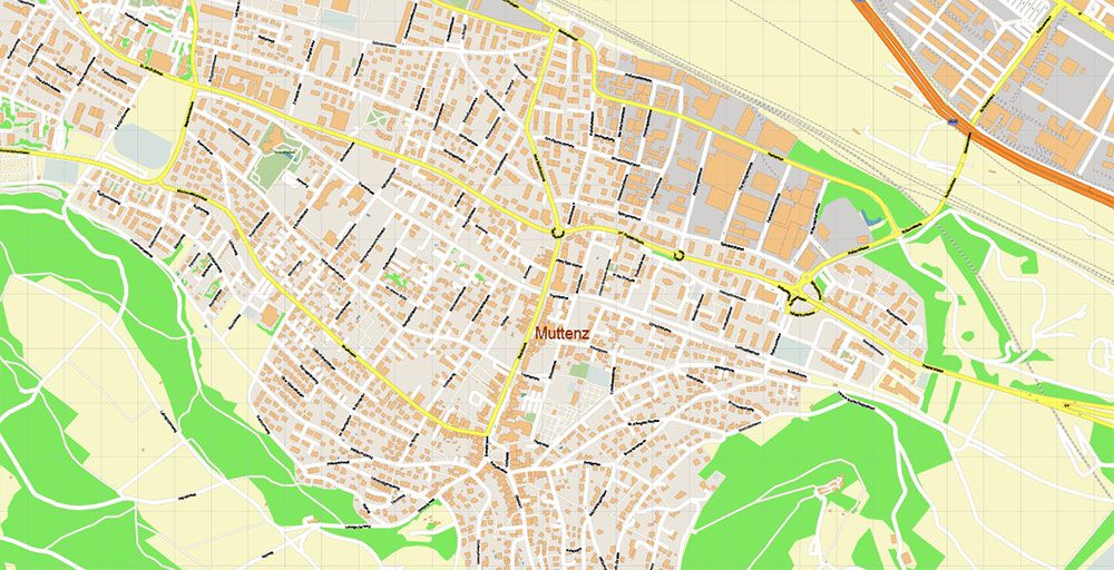
Basel Switzerland Map Vector Accurate High Detailed City Plan editable Adobe Illustrator Street Map in layers
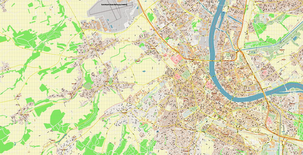
Basel Switzerland Map Vector Accurate High Detailed City Plan editable Adobe Illustrator Street Map in layers
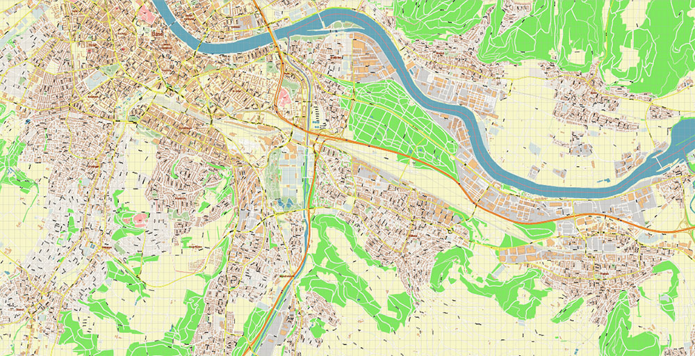
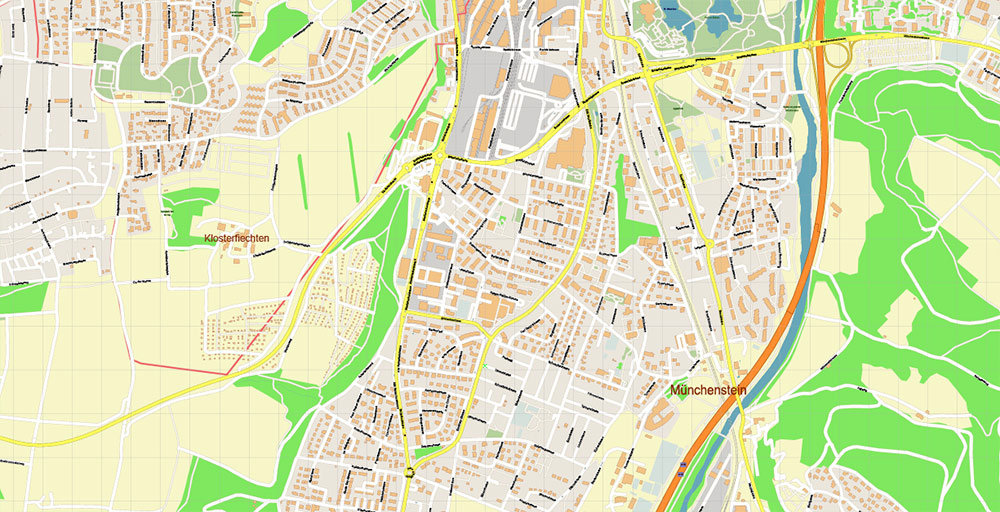
Basel Switzerland Map Vector Accurate High Detailed City Plan editable Adobe Illustrator Street Map in layers
Basel Switzerland Map Vector Accurate High Detailed City Plan editable Adobe Illustrator Street Map in layers
Basel Switzerland Map Vector Accurate High Detailed City Plan editable Adobe Illustrator Street Map in layers
Basel Switzerland Map Vector Accurate High Detailed City Plan editable Adobe Illustrator Street Map in layers
Basel Switzerland Map Vector Accurate High Detailed City Plan editable Adobe Illustrator Street Map in layers
Basel Switzerland Map Vector Accurate High Detailed City Plan editable Adobe Illustrator Street Map in layers
Basel Switzerland Map Vector Accurate High Detailed City Plan editable Adobe Illustrator Street Map in layers
Basel Switzerland Map Vector Accurate High Detailed City Plan editable Adobe Illustrator Street Map in layers
Basel Switzerland Map Vector Accurate High Detailed City Plan editable Adobe Illustrator Street Map in layers
Basel Switzerland Map Vector Accurate High Detailed City Plan editable Adobe Illustrator Street Map in layers
Basel Switzerland Map Vector Accurate High Detailed City Plan editable Adobe Illustrator Street Map in layers

 Author: Kirill Shrayber, Ph.D. FRGS
 Street Map editable Adobe Illustrator in layers")
