Extended Description of the Vector Map
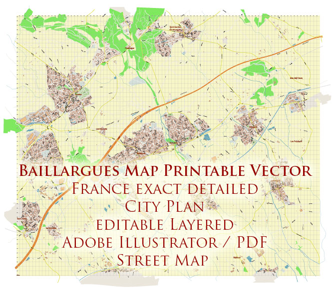
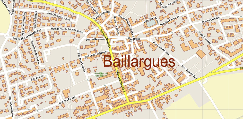
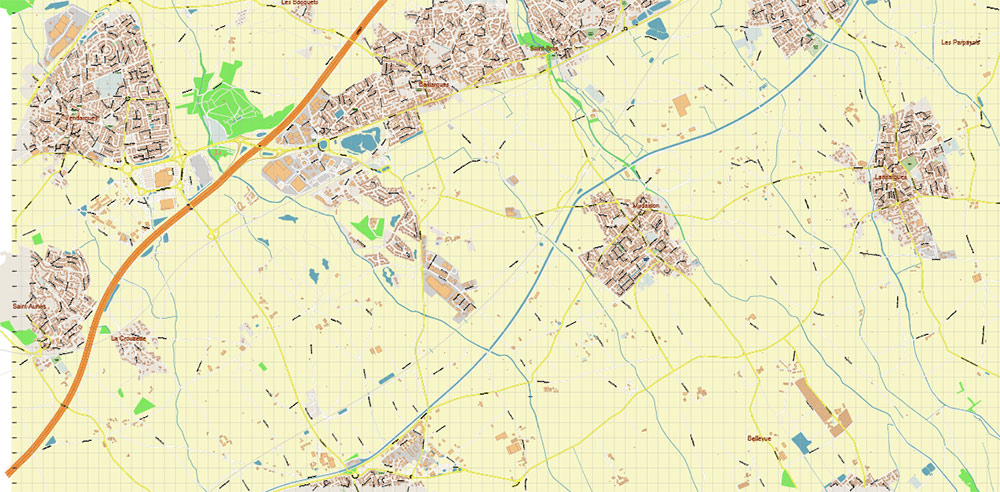
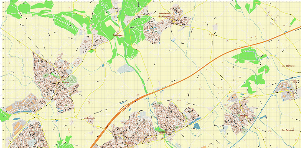
Printable Vector Map Baillargues France, exact detailed City Plan, 100 meters scale map, editable Layered Adobe Illustrator Street Map, 5 Mb ZIP.
All streets named, main objects. Map for publishing, design, printing, publications, arts, projects, presentations, for architects, designers and builders, business, logistics. The most exact and detailed map of the city.
Layers: legend, grids, labels_roads, names_places, names_streets, names_objects, objects, arrows_streets, streets_roads, color_fills, etc.
Text format all names
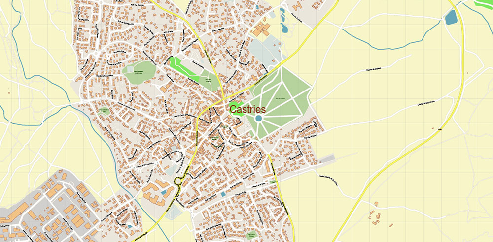
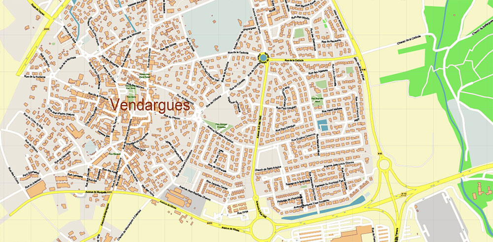
Baillargues Map Printable Vector France, exact detailed City Plan editable Layered Adobe Illustrator Street Map
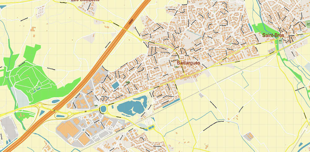
Baillargues Map Printable Vector France, exact detailed City Plan editable Layered Adobe Illustrator Street Map
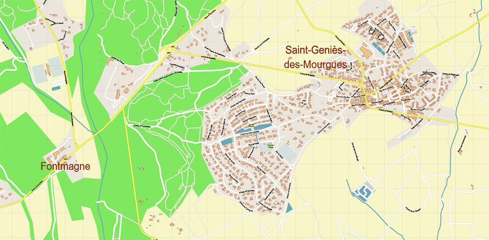
Baillargues Map Printable Vector France, exact detailed City Plan editable Layered Adobe Illustrator Street Map
Baillargues Map Printable Vector France, exact detailed City Plan editable Layered Adobe Illustrator Street Map
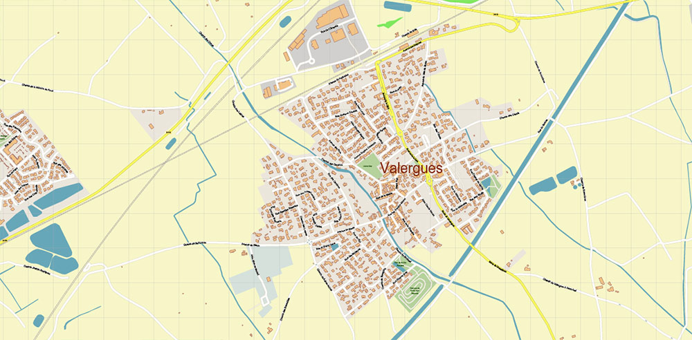
Baillargues Map Printable Vector France, exact detailed City Plan editable Layered Adobe Illustrator Street Map
Baillargues Map Printable Vector France, exact detailed City Plan editable Layered Adobe Illustrator Street Map
Baillargues Map Printable Vector France, exact detailed City Plan editable Layered Adobe Illustrator Street Map
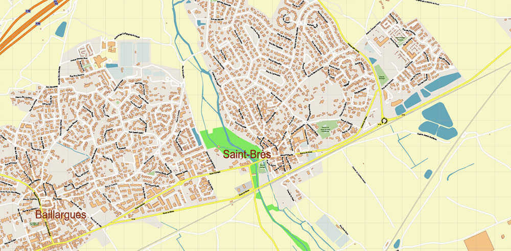
Baillargues Map Printable Vector France, exact detailed City Plan editable Layered Adobe Illustrator Street Map
Baillargues Map Printable Vector France, exact detailed City Plan editable Layered Adobe Illustrator Street Map
Baillargues Map Printable Vector France, exact detailed City Plan editable Layered Adobe Illustrator Street Map

 Author: Kirill Shrayber, Ph.D. FRGS