Extended Description of the Vector Map
Auckland is the largest city in New Zealand with a population of about 1,534,700, which is about 32% of the country’s total population. The area occupied by Greater Auckland is the largest urbanized area in the country.
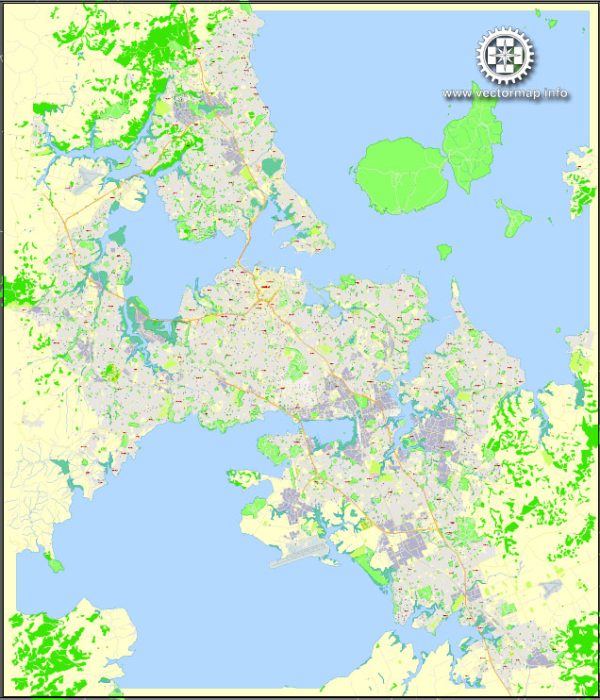
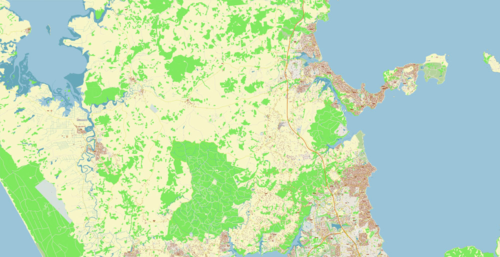
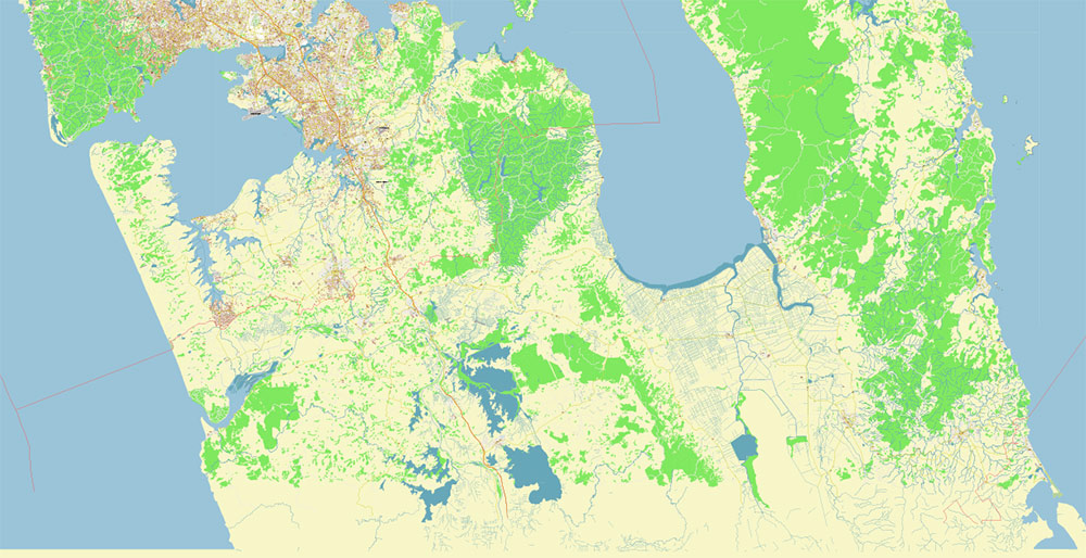
Geographically and administratively, Greater Auckland includes Auckland City — the central and most urbanized part of the city, North Shore City, Manukau City, Waitakere City, as well as urbanized parts of the Papakura District, Rodney District, and Franklin District.
In 2020, Auckland was ranked third in the ranking of the most livable cities published by the international consulting company Mercer. In the Economist magazine’s list published in 2020, Auckland is in 9th place. In 2010, Auckland was awarded the Beta classification in the International Classification of Cities by the University of Loughborough.
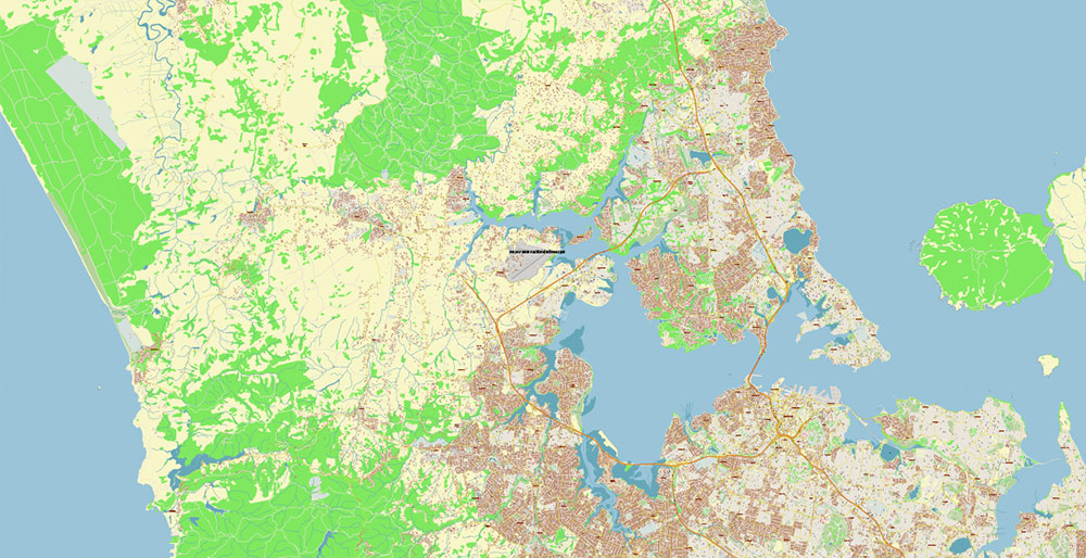
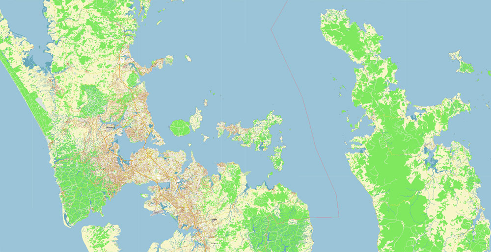
The city is located on the North Island of New Zealand on a huge plateau. It is surrounded by two mountain ranges, three sea bays, and many islands, and there are 49 volcanoes on the Auckland Volcanic Field. Auckland’s territory lies between the Hauraki Gulf on the Pacific Ocean side to the east, the low Hanuya Mountains to the southeast, Manukau Bay to the southwest, and the Waitakere Mountains to the west and northwest. Oakley Creek is the only waterfall within the city limits.
Auckland is located in the Auckland Volcanic Region. Within its boundaries are the craters of 49 extinct monogenic volcanoes. The main number of eruptions of these volcanoes occurred 60-140 thousand years ago. The earliest eruptions occurred in the Franklin area. The last and most powerful volcanic eruption that formed Rangitoto Island was approximately 600-800 years ago. The size of Rangitoto, its correct proportions, and its favorable location at the entrance to Waitemata Bay make this volcanic island one of Auckland’s main natural attractions.
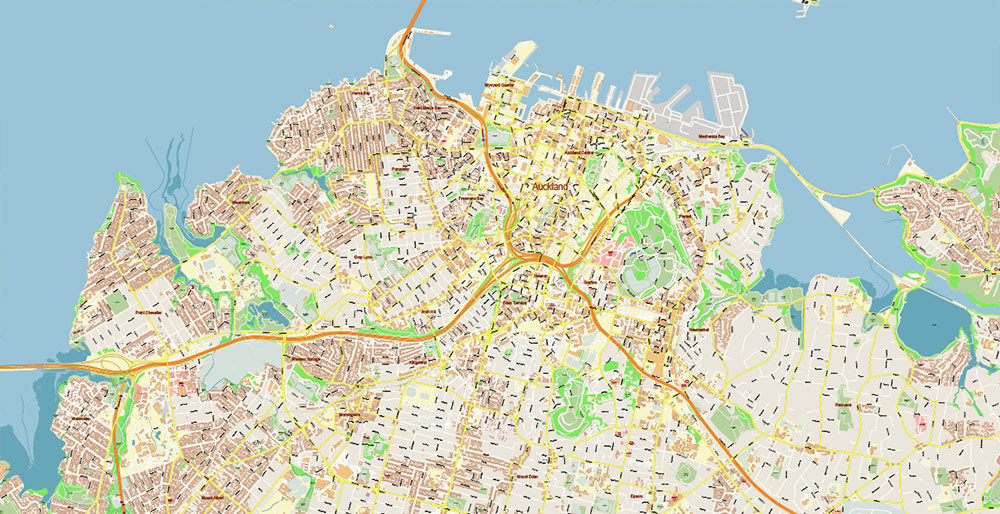
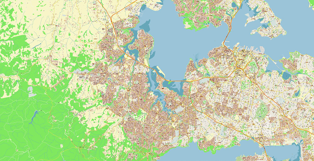
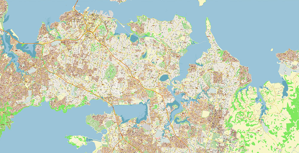
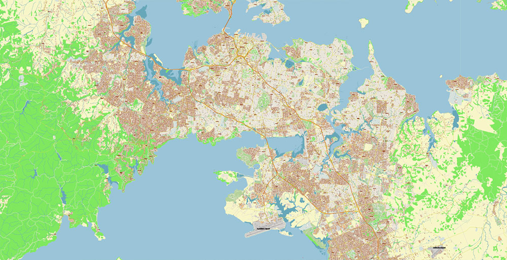
Auckland is located on an isthmus less than 2 kilometers wide at its narrowest point, between Mangere Bay on the Tasman Sea side and Tamaki River Harbor on the Pacific Oceanside. This isthmus within the urbanized areas is washed by the waters of two bays. Waitemata Bay is located in the north, in the eastern part, it is adjacent to Hauraki Bay. The southern shore of the isthmus is bordered by Manukau Bay, which is connected to the Tasman Sea through a narrow strait in the western part. It is one of the few cities in the world that has access to two bays belonging to different seas.
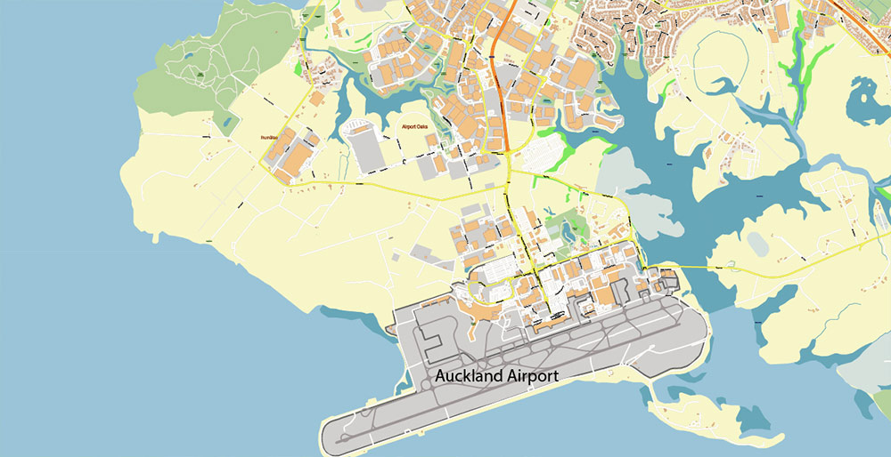
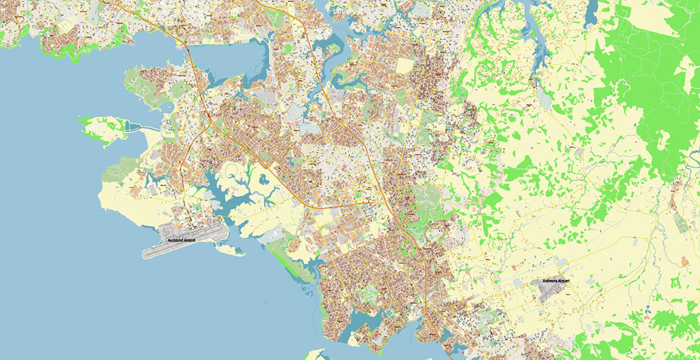
The shores of both bays are connected by several bridges. The most famous is the Auckland Harbour Bridge, which crosses Waithemata Bay in the western part of Auckland’s Central Business District. In the southern part of the city, the Manukau Bridge spans the bay of the same name. This bridge carries a road connecting the central part of the city with the Auckland International Airport.
Several islands located in the waters of the Hauraki Gulf are managed by the Central Auckland Administration, although their territory is not officially part of the Greater Auckland territory. The most densely populated parts of Waikiki Island function almost as normal urban areas, while the numerous small islands scattered around Auckland are used primarily as nature reserves and recreation areas.
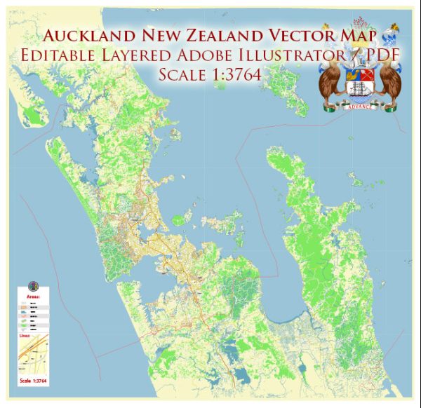
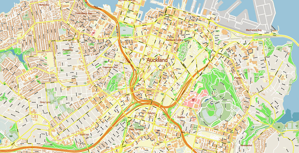
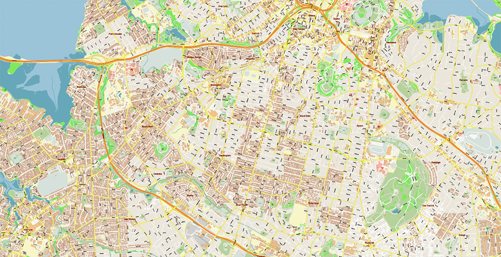
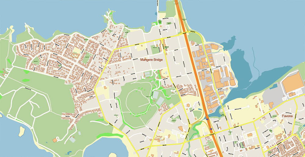
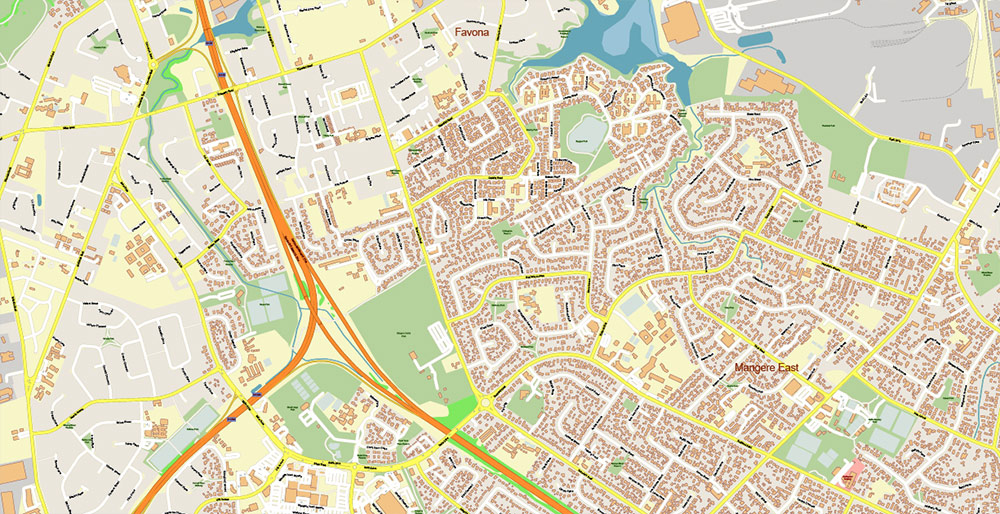
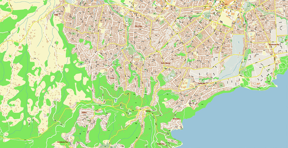
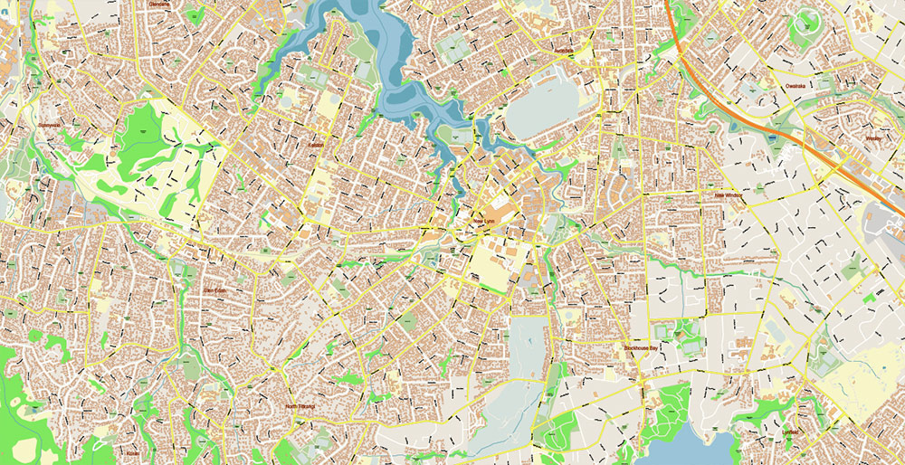
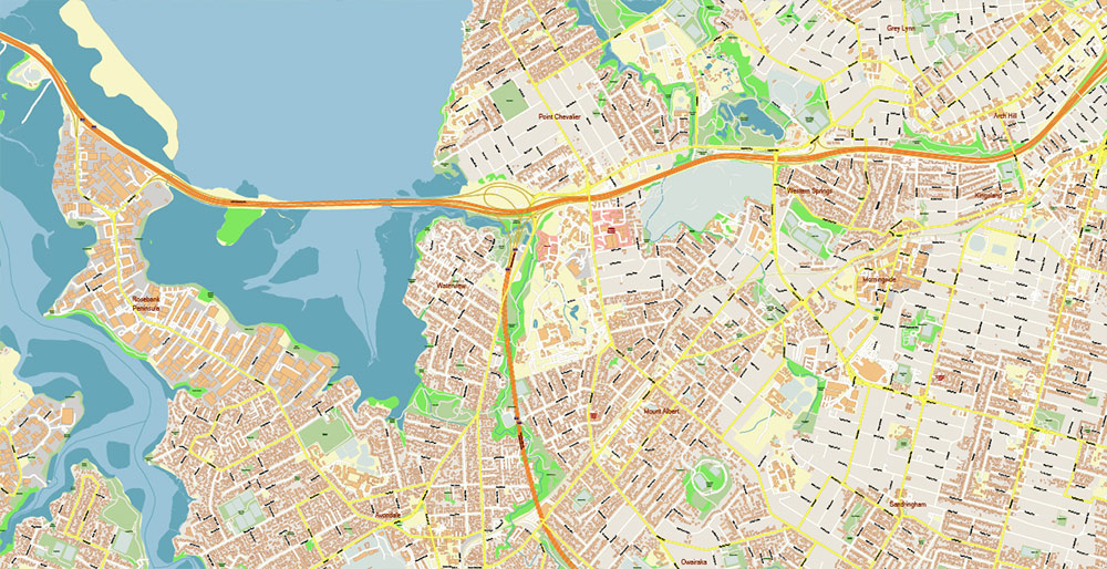
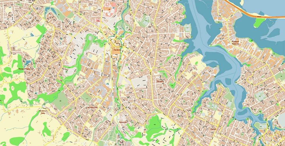
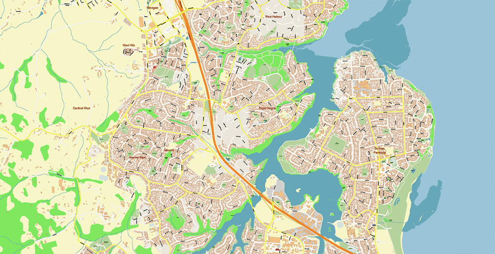
Printable PDF Vector Map of Auckland New Zealand detailed City Plan (with the neighborhood) scale 1:3764 full editable Adobe PDF Street Map in layers, scalable, text format all names, 183 MB ZIP
All street names, Main Objects, Buildings. Map for design, printing, arts, projects, presentations, for architects, designers, and builders, business, logistics.
Also: We can add (additional layer for this map), any other objects for you. It’s free for our customers.
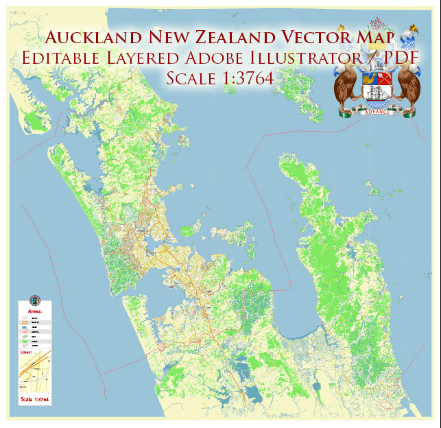
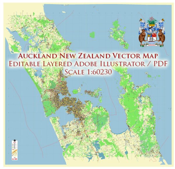
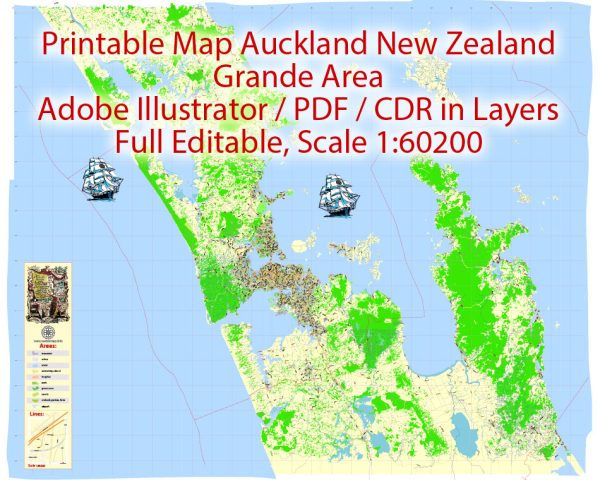
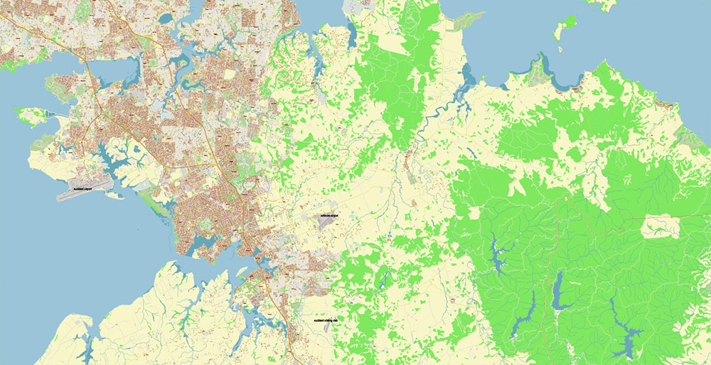
Auckland New Zealand PDF Vector Map Exact High Detailed City Plan editable Adobe PDF Street Map in layers
Layers list:
- Legend
- Grids
- Labels of roads
- Names of places (city, hamlet, etc.)
- Names of objects (hospitals, parks, water)
- Names of main streets
- Names of residential streets
- Arrows of the street directions
- Main Streets, roads
- Residential streets
- Railroads
- Buildings
- Waterways 1
- Waterways 2
- Water objects (rivers, lakes, ponds)
- Color fills (parks, hospital areas, land use, etc.)
- Islands
- Sea
- Background
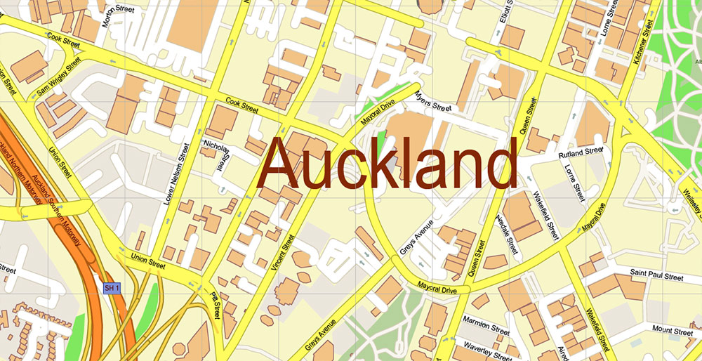
Auckland New Zealand PDF Vector Map Exact High Detailed City Plan editable Adobe PDF Street Map in layers
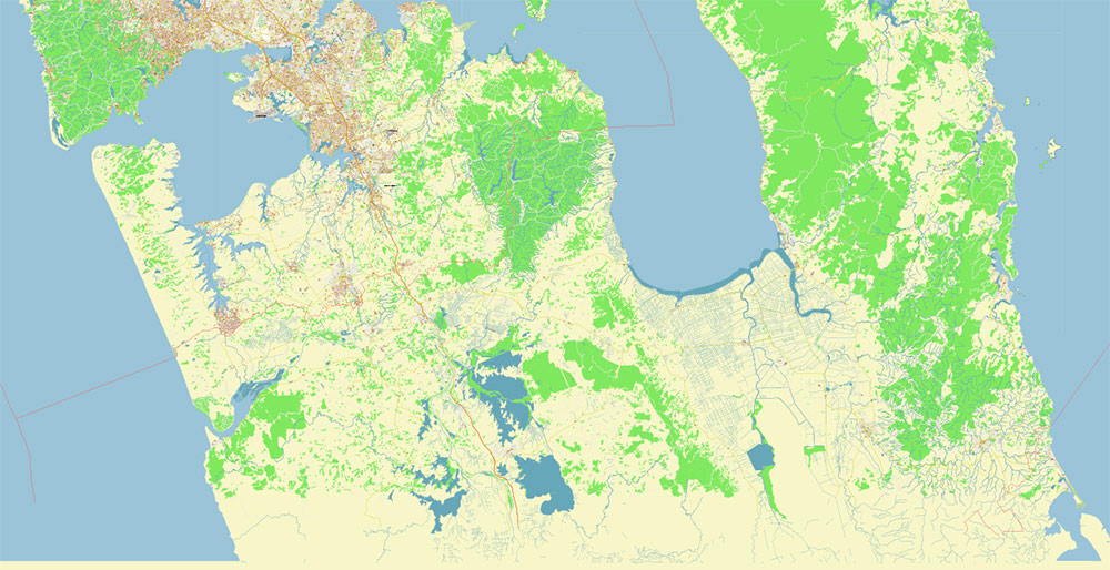
Auckland New Zealand PDF Vector Map Exact High Detailed City Plan editable Adobe PDF Street Map in layers
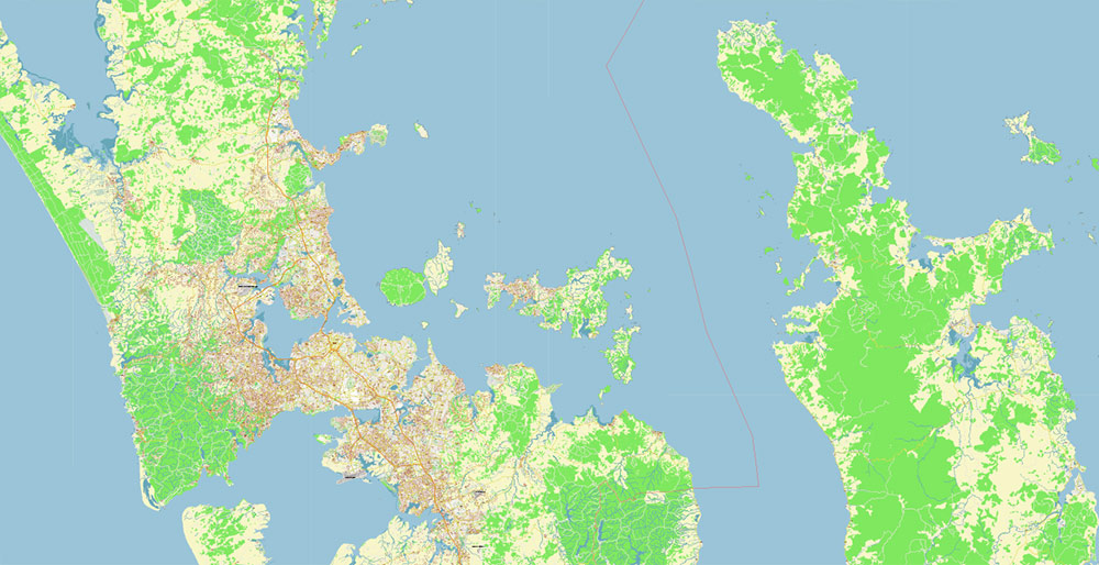
Auckland New Zealand PDF Vector Map Exact High Detailed City Plan editable Adobe PDF Street Map in layers
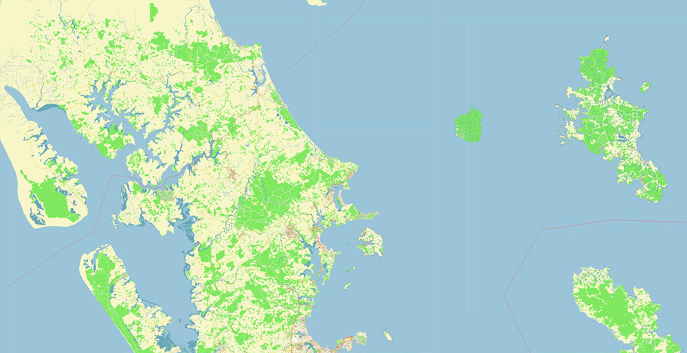
Auckland New Zealand PDF Vector Map Exact High Detailed City Plan editable Adobe PDF Street Map in layers
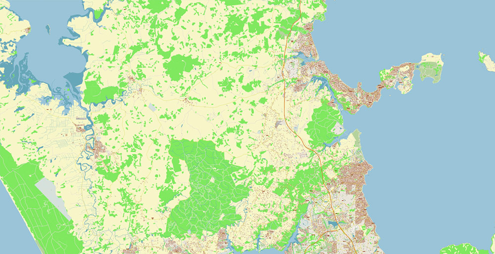
Auckland New Zealand PDF Vector Map Exact High Detailed City Plan editable Adobe PDF Street Map in layers
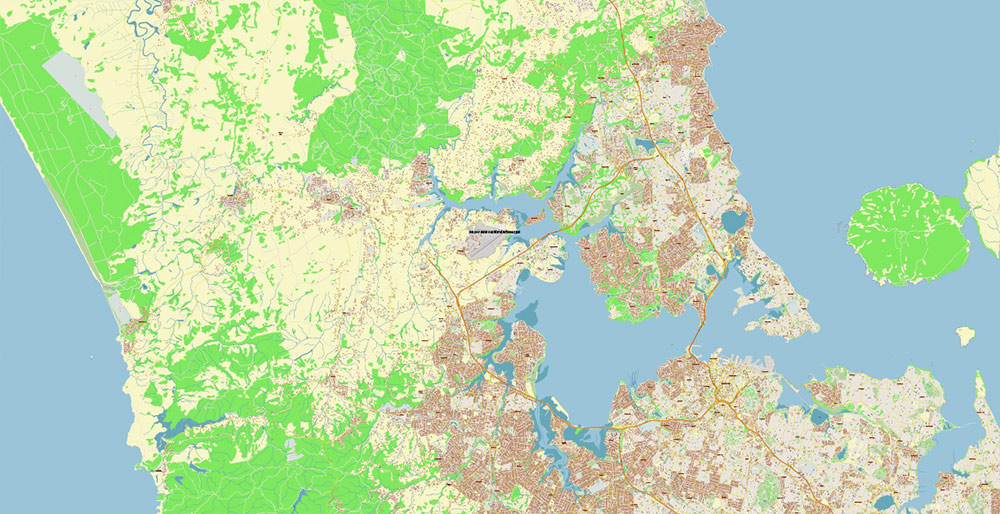
Auckland New Zealand PDF Vector Map Exact High Detailed City Plan editable Adobe PDF Street Map in layers
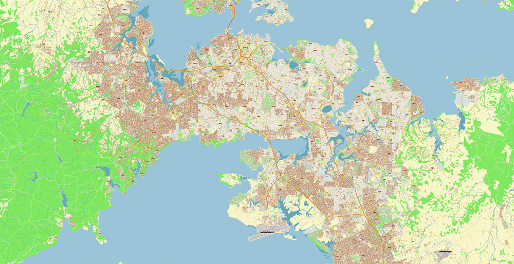
Auckland New Zealand PDF Vector Map Exact High Detailed City Plan editable Adobe PDF Street Map in layers
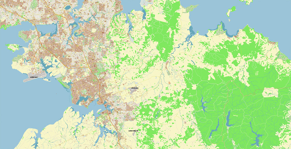
Auckland New Zealand PDF Vector Map Exact High Detailed City Plan editable Adobe PDF Street Map in layers
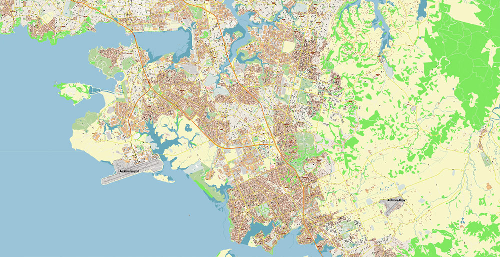
Auckland New Zealand PDF Vector Map Exact High Detailed City Plan editable Adobe PDF Street Map in layers
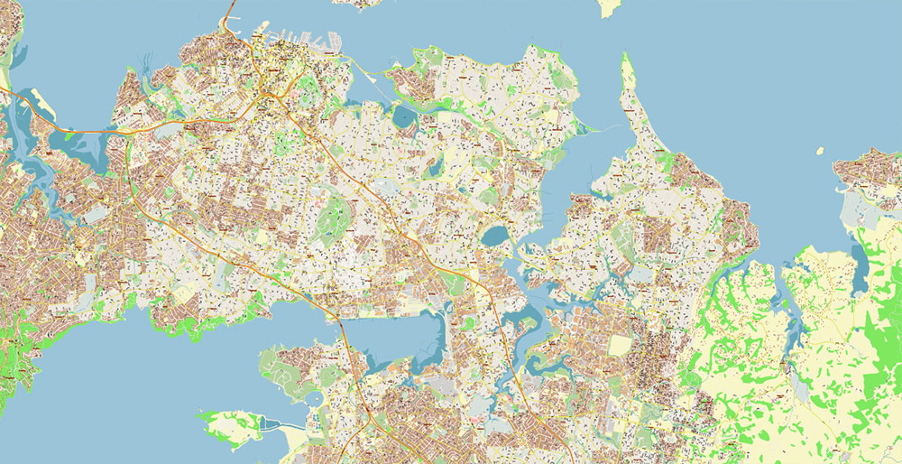
Auckland New Zealand PDF Vector Map Exact High Detailed City Plan editable Adobe PDF Street Map in layers
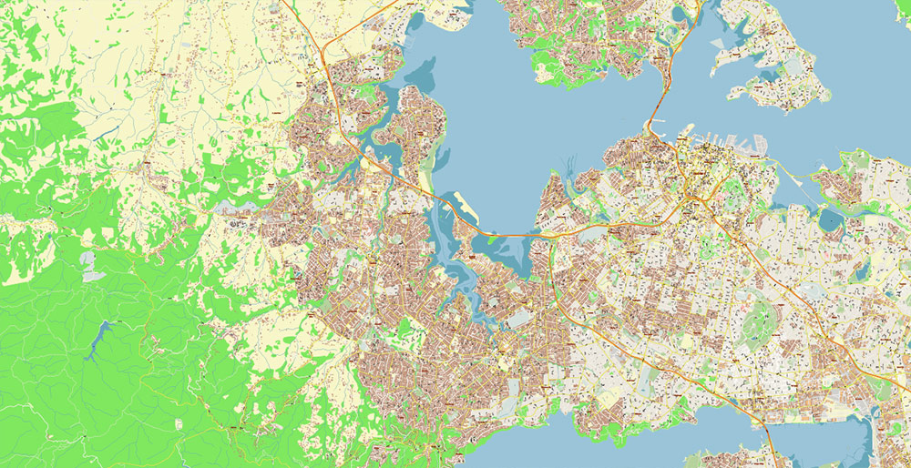
Auckland New Zealand PDF Vector Map Exact High Detailed City Plan editable Adobe PDF Street Map in layers
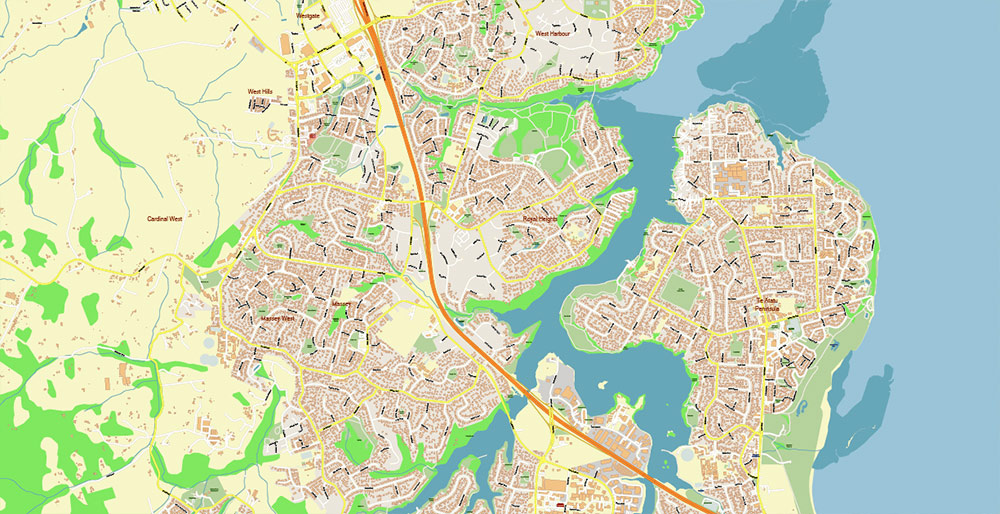
Auckland New Zealand PDF Vector Map Exact High Detailed City Plan editable Adobe PDF Street Map in layers
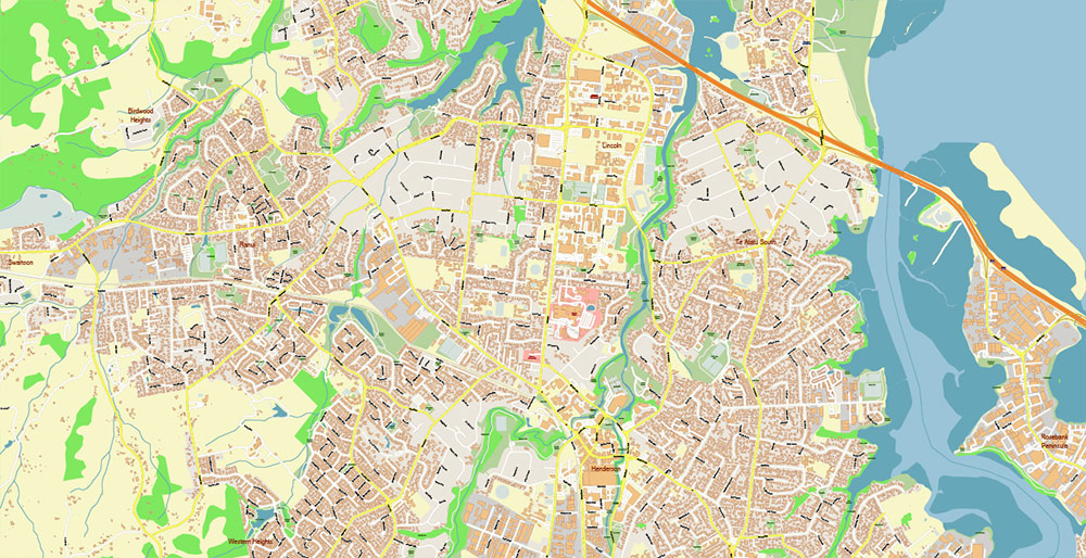
Auckland New Zealand PDF Vector Map Exact High Detailed City Plan editable Adobe PDF Street Map in layers
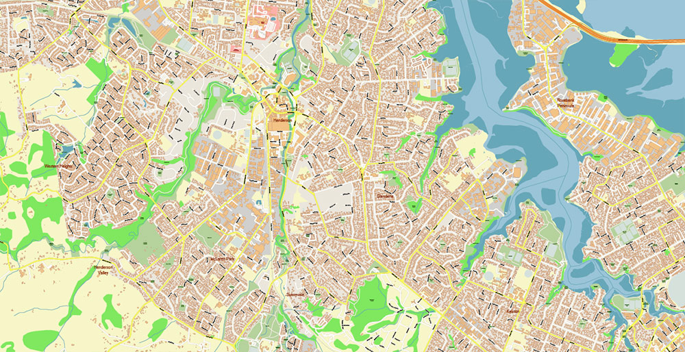
Auckland New Zealand PDF Vector Map Exact High Detailed City Plan editable Adobe PDF Street Map in layers
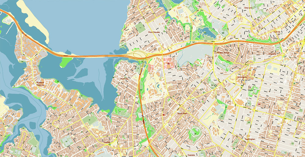
Auckland New Zealand PDF Vector Map Exact High Detailed City Plan editable Adobe PDF Street Map in layers
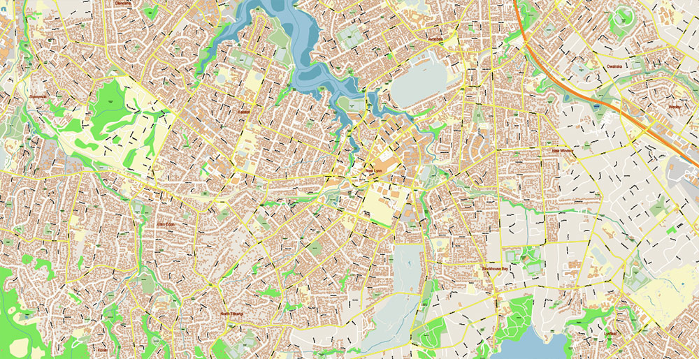
Auckland New Zealand PDF Vector Map Exact High Detailed City Plan editable Adobe PDF Street Map in layers
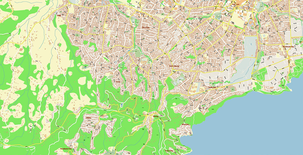
Auckland New Zealand PDF Vector Map Exact High Detailed City Plan editable Adobe PDF Street Map in layers
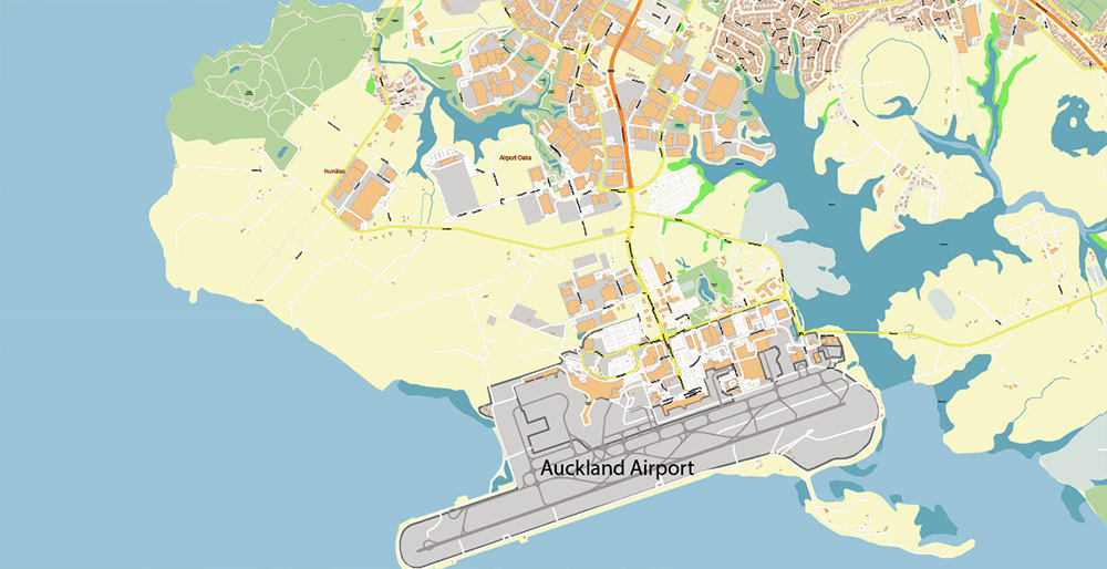
Auckland New Zealand PDF Vector Map Exact High Detailed City Plan editable Adobe PDF Street Map in layers
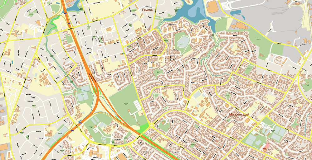
Auckland New Zealand PDF Vector Map Exact High Detailed City Plan editable Adobe PDF Street Map in layers
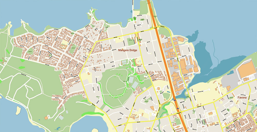
Auckland New Zealand PDF Vector Map Exact High Detailed City Plan editable Adobe PDF Street Map in layers
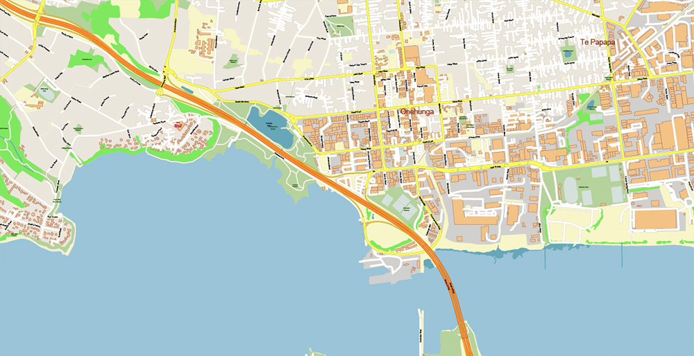
Auckland New Zealand PDF Vector Map Exact High Detailed City Plan editable Adobe PDF Street Map in layers
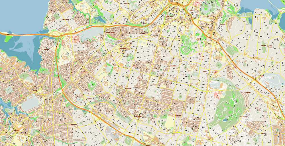
Auckland New Zealand PDF Vector Map Exact High Detailed City Plan editable Adobe PDF Street Map in layers
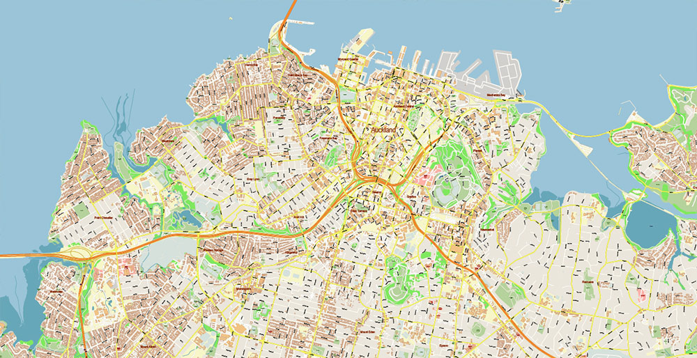
Auckland New Zealand PDF Vector Map Exact High Detailed City Plan editable Adobe PDF Street Map in layers
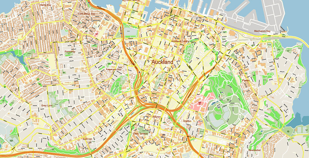
Auckland New Zealand PDF Vector Map Exact High Detailed City Plan editable Adobe PDF Street Map in layers
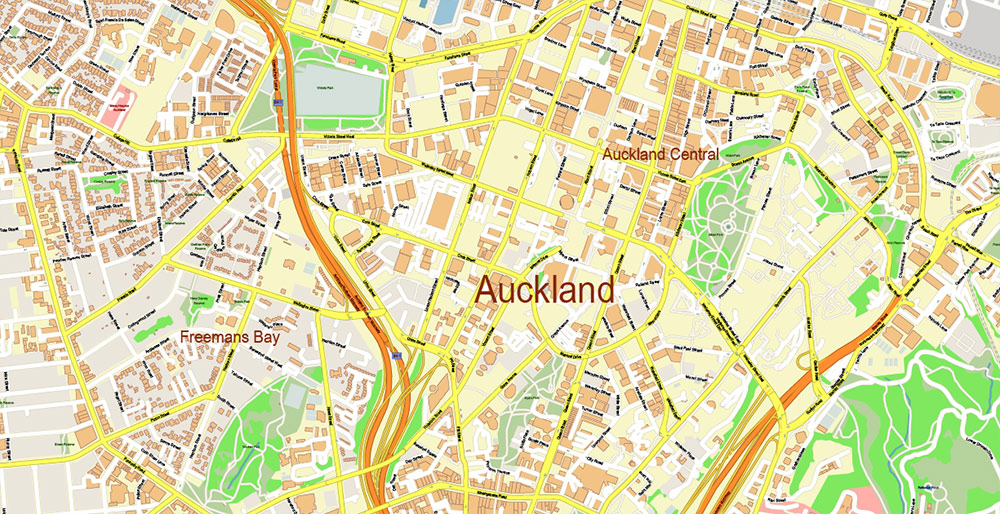
Auckland New Zealand PDF Vector Map Exact High Detailed City Plan editable Adobe PDF Street Map in layers


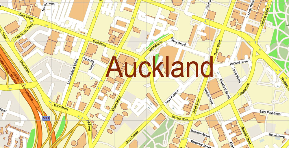





 Author: Kirill Shrayber, Ph.D. FRGS