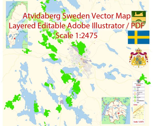
Extended Description of the Vector Map
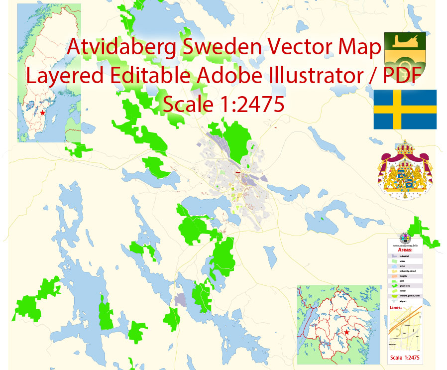
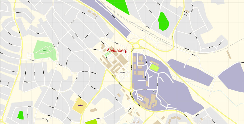
Printable Vector Map of Atvidaberg Ostergotland Sweden detailed City Plan scale 1:2475 full editable Adobe Illustrator Street Map in layers , scalable, text format all names, 3 mb ZIP
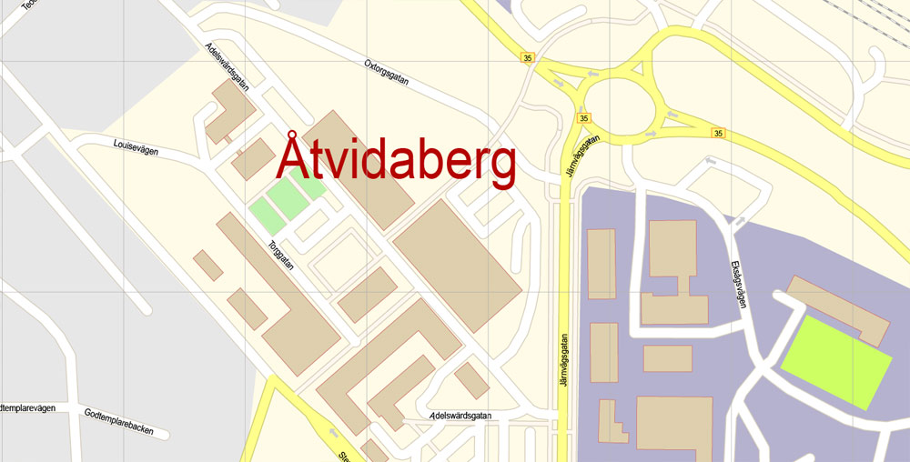
All streets names, Main Objects, some Buildings. Map for design, printing, arts, projects, presentations, for architects, designers and builders, business, logistics.
Layers: color_fills, water, streets_roads, labels_roads, names_objects, names_streets, names_places, arrows_streets, buildings, grids, legend, etc.
The most exact and detailed map of the city in scale.
For Editing and High Quality Printing
DWG, DXF and other formats – on request, same price, please, contact
Map covered area
Åtvidaberg
Municipality in Sweden
Åtvidaberg is a locality and the seat of Åtvidaberg Municipality, Östergötland County, Sweden with 6,859 inhabitants in 2010. The name is a compound word which can be translated as “towards wide mountains” or, jokingly, “ate wide mountains”, thanks to the homonym nature of the Swedish word “åt”. Wikipedia
Area: 5.42 km²
Population: 6,859
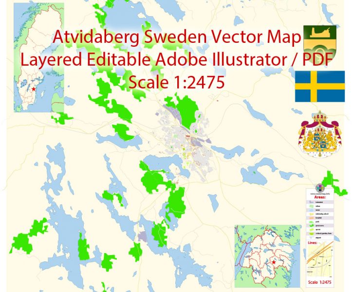
Printable Vector Map of Atvidaberg Ostergotland Sweden detailed City Plan scale 1:2475 full editable Adobe Illustrator Street Map in layers
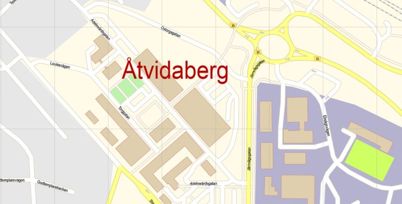
Printable Vector Map of Atvidaberg Ostergotland Sweden detailed City Plan scale 1:2475 full editable Adobe Illustrator Street Map in layers
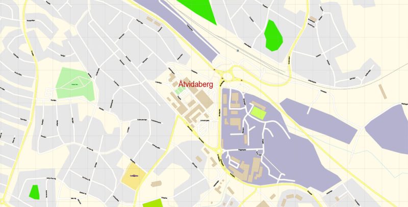
Printable Vector Map of Atvidaberg Ostergotland Sweden detailed City Plan scale 1:2475 full editable Adobe Illustrator Street Map in layers
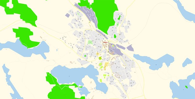
Printable Vector Map of Atvidaberg Ostergotland Sweden detailed City Plan scale 1:2475 full editable Adobe Illustrator Street Map in layers
Author Rating
Aggregate Rating
no rating based on 0 votes
@vectormapper
Product Name Atvidaberg Ostergotland Map Vector Exact City Plan Sweden US detailed Street Map editable Adobe Illustrator in layers
Price
USD 23
Product Availability
Available in Stock




 Author: Kirill Shrayber, Ph.D. FRGS