Printable Vector Map Atlanta Georgia US, exact high detailed editable layered Adobe Illustrator scalable, editable text format all names, 67 MB ZIP
Names all streets, buildings
Map for design, printing, arts, projects, presentations, for architects, designers, and builders, business, logistics.
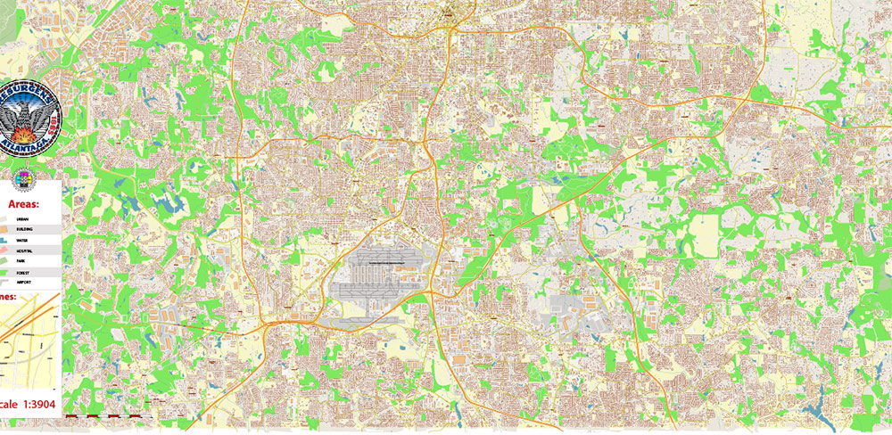
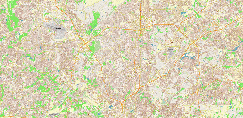
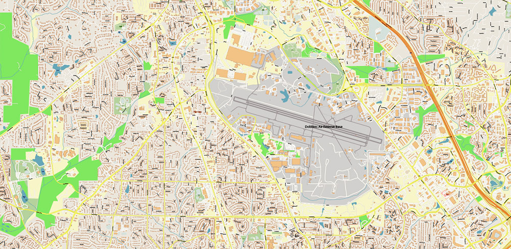
The most exact and detailed map of Atlanta Georgia US
Map for editing and High-Quality Printing
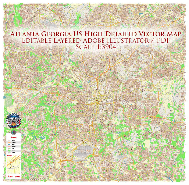
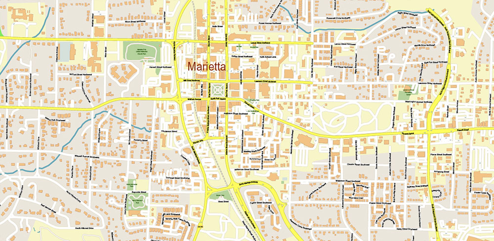
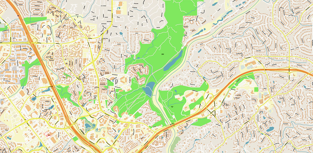
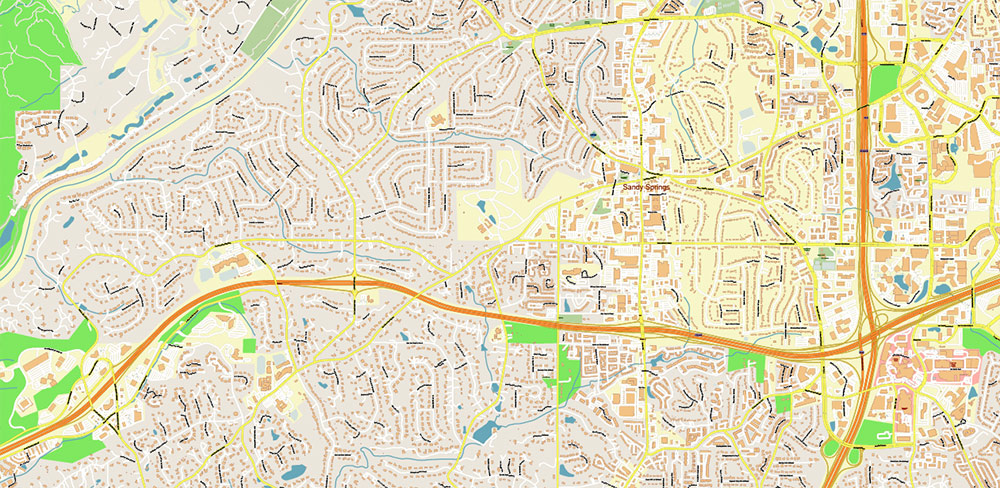
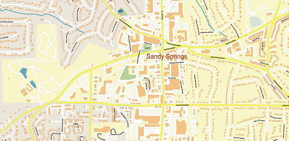
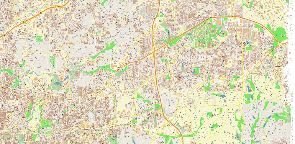
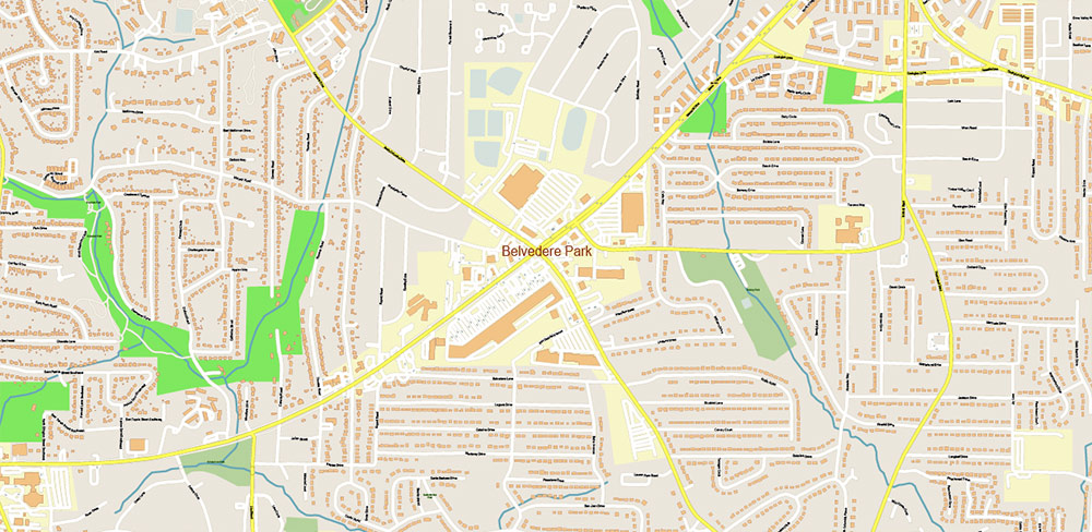
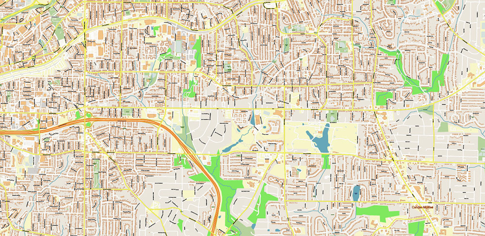
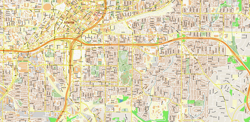
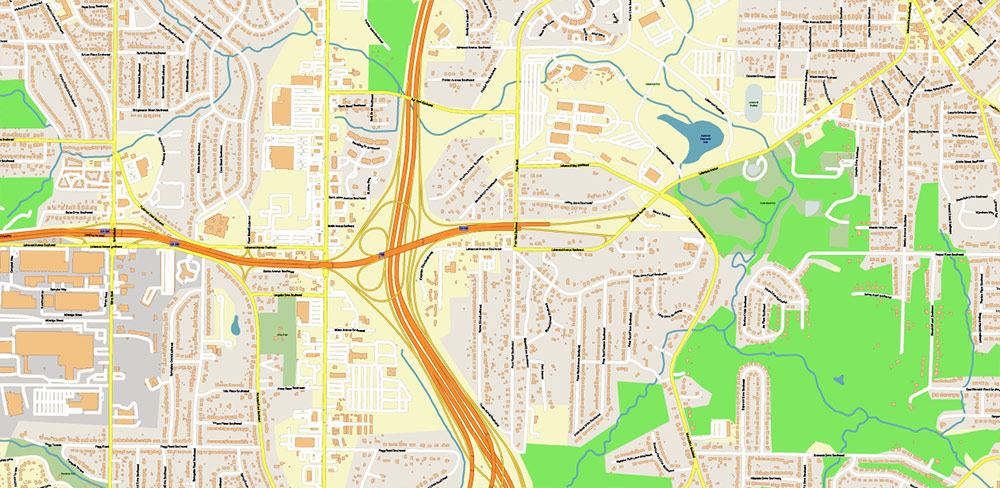
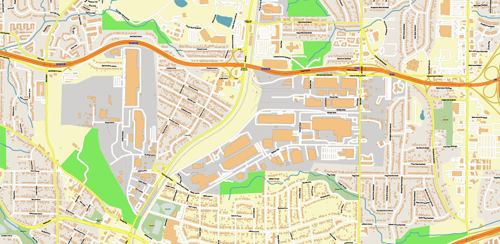
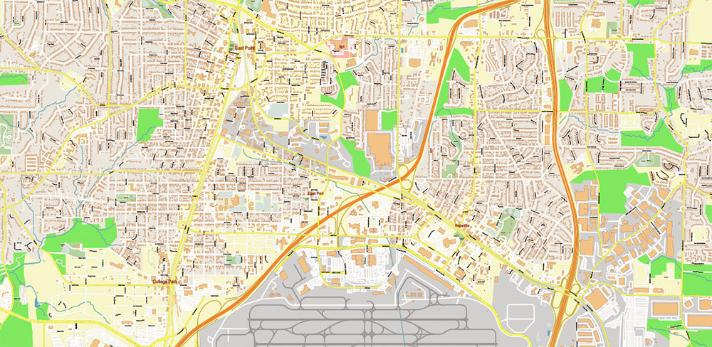
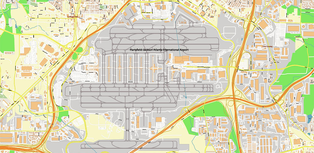
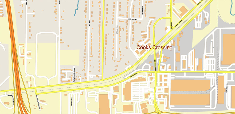
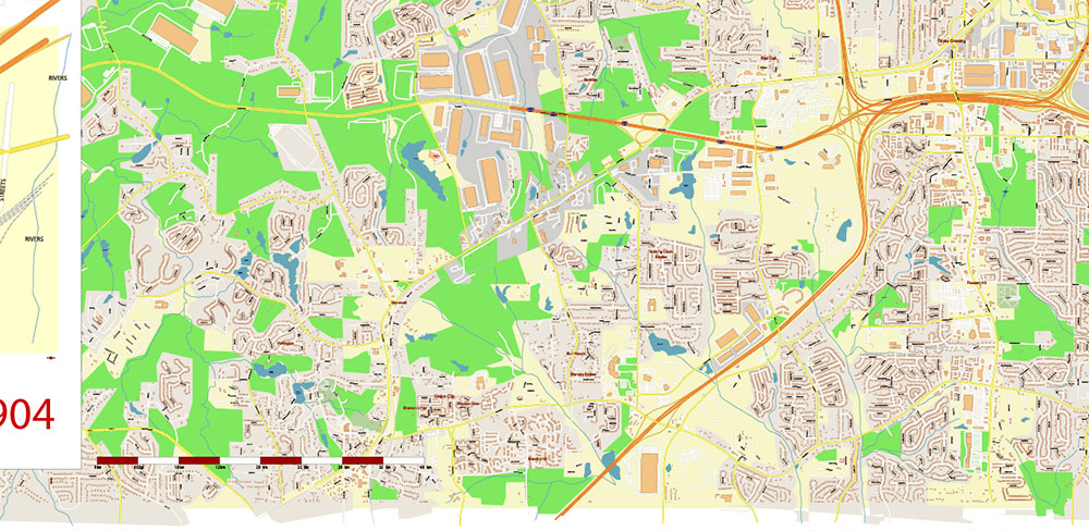
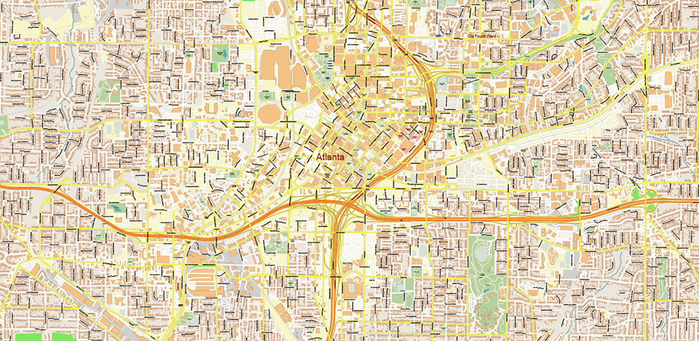
Atlanta Georgia US Vector Map exact high detailed editable layered Adobe Illustrator
Layers list:
- Legend
- Grids
- Labels of Roads
- Names Main Streets
- Names residential streets
- Names Objects
- Names Places
- Arrows of the road directions
- Main Streets and Roads
- Residential roads and streets
- Buildings 2 (another source)
- Buildings
- Railroads
- Airports and Heliports
- Landuse areas
- Water objects (areas)
- Waterways
- Background
This high detailed road and highway map is a fully editable multi-layer Adobe Illustrator file.
Adobe Illustrator files are vector format files that provide clarity and high quality images at any magnification.
All primary map objects/features are on their own layer. For a complete list of objects/layers, see the list of layers.
This map also comes as a fully editable Adobe PDF map file. This PDF can be opened using Adobe Reader’s free software, which allows you to zoom in on any part of the map while keeping clear lines and text at any level of magnification.
All our Adobe PDF map files can easily be included in a wide range of other software products such as Microsoft Word and PowerPoint, as well as Adobe Photoshop and Illustrator, Adobe Indesign, AutoCAD, ArchiCAD and others.
Our PDF maps are also 100% editable in Illustrator 10 and above, allowing you to select and edit any object on the map (e.g. state/county/country boundaries, road lines, text, etc.).
All major map objects are on their own intuitively labeled layers, making it easy to show/hide, edit, and delete each major map object. For a complete list of features/layers, see the list of layers.
About Our Digital Maps
VectorMap.Net offers publishers, graphic designers, web developers, and multimedia developers instant access to beautiful, high-quality, and fully editable Adobe Illustrator maps.
We offer thousends of of vector maps, from simple blank maps of the US, all countries and the world (FREE!) to highly detailed maps incorporating dozens of editable layers for county lines, buildings, landuse areas, major roads, residential streets of the cities and urban areas.
All of our maps were designed so that the map’s core objects, such as state lines, text, county lines and other core map symbols, were intuitively layered and fully editable in digital vector format.
Designed by designers and publishers: DPI for print: 150; 300; 600; 1200
Because each of our digital maps is available in Adobe Illustrator or editable PDF, both of which take a vector approach to displaying images, you can easily enlarge any part of our maps without any degradation in the quality of the map’s text, lines and symbols, regardless of the magnification factor.
With Adobe Illustrator, you can easily trim parts of your map, add custom symbols, and change the colors and attributes of any objects as needed.

Atlanta Georgia US Vector Map exact high detailed editable layered Adobe Illustrator
FAQ:
Do you have any other maps of this place?
In most cases – yes, there are other maps of this place. Use the search (above), just enter the name of the city, state, country.
Is this exactly a vector map? How much can I zoom in or out?
Yes, it really is a vector map. You can zoom in or out as much as you like without affecting the resolution. Note that when you zoom in or out of the map (the entire map), ALL objects zoom in proportionally and dimensionally.
All objects on the map – roads (by type), street names, names of places (cities) and others – are divided into layers. When working with a map, a good solution will be to block all layers that you do not work with.
If you need to increase only the inscriptions (for example, street names) – this is possible. But, if you enlarge, for example, only street names with the operations “select all objects in the layer”, than click “objects” -> “transform” -> “transform each (for example, 200%)” – some street names can begin to intersect, also may go out of the curved street lines.
This will need to be edited manually.
Try one of our free map samples to see the maps in action >>>
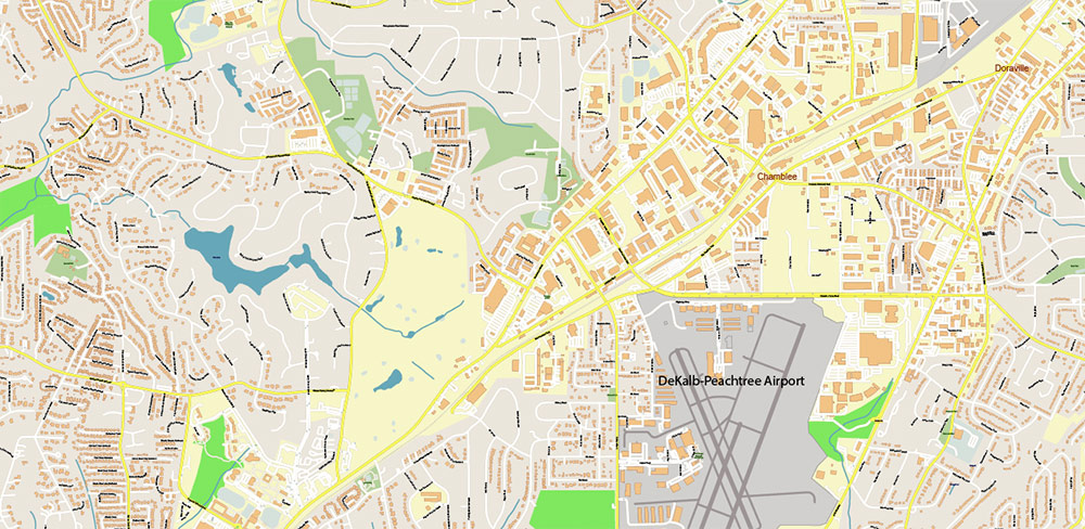
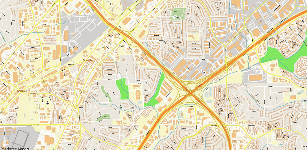
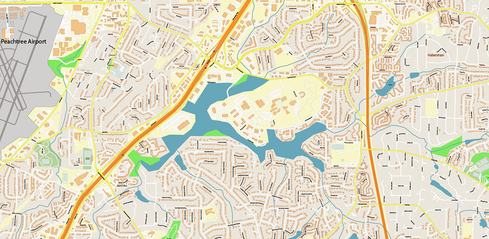
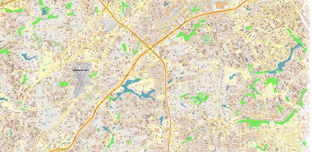
The map preview below shows only bitmaps (JPG) of vector map fragments, and for practical reasons the preview is limited to certain levels of scaling.
Is the map completely editable?
Yes, everything you see on the map can be edited and stylized in different ways. You can try one of our free map samples to see how the map works.
I don’t need certain features of the map, can I hide them?
Yes, objects in your map are organized into layers that you can hide, delete, or edit individually.
You can try one of our free map samples to see the typical layers on our map >>>
Does the map not cover the area I need?
Of course, we can make a map for you that covers another area, quickly and at affordable prices.
Please contact us! >>>
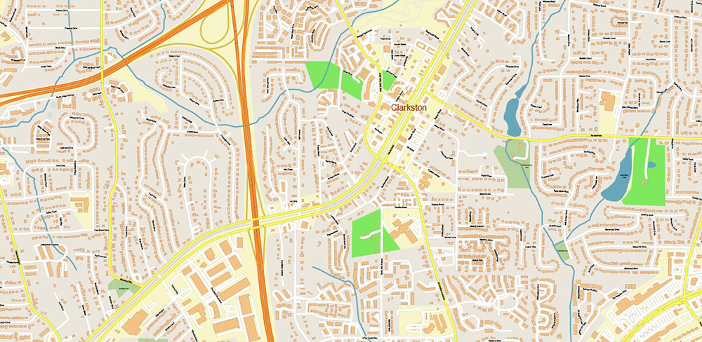
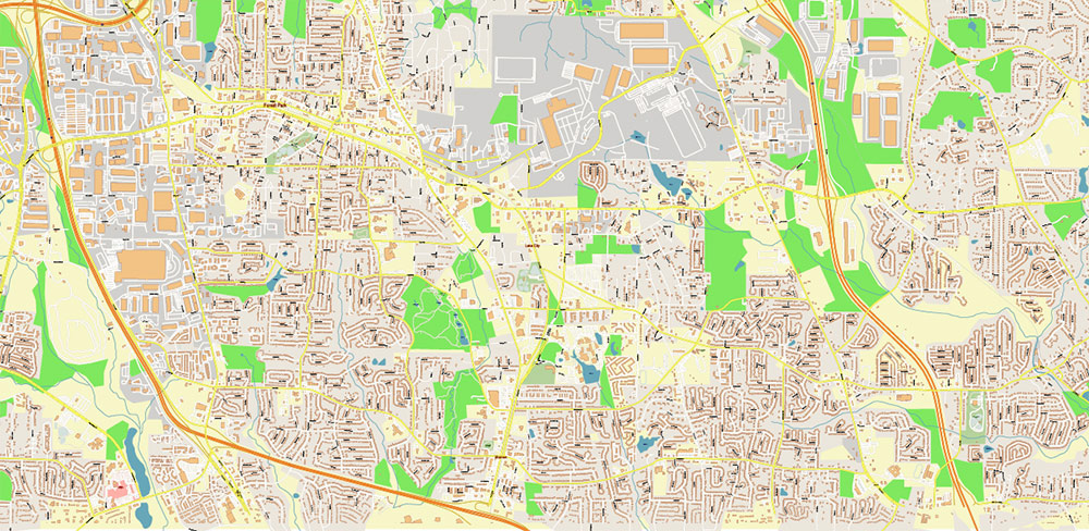
Atlanta Georgia US Vector Map exact high detailed editable layered Adobe Illustrator
Atlanta Georgia US Vector Map exact high detailed editable layered Adobe Illustrator
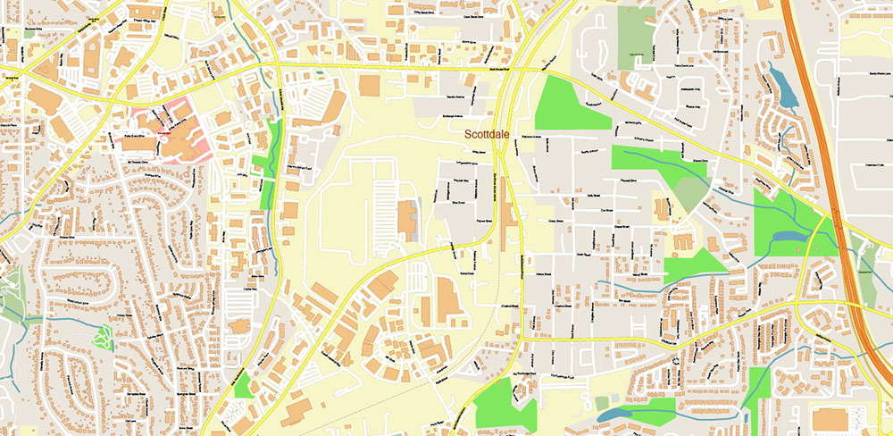
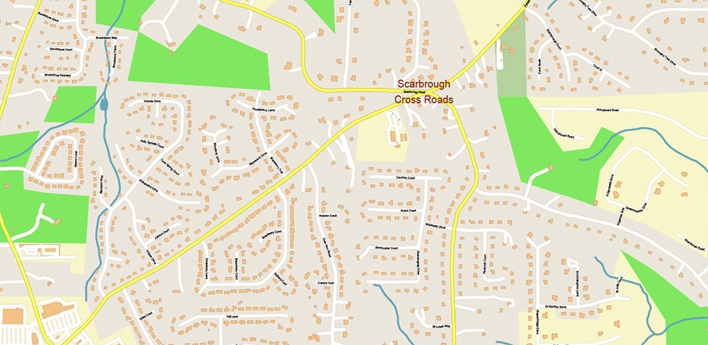
Atlanta Georgia US Vector Map exact high detailed editable layered Adobe Illustrator
Atlanta Georgia US Vector Map exact high detailed editable layered Adobe Illustrator
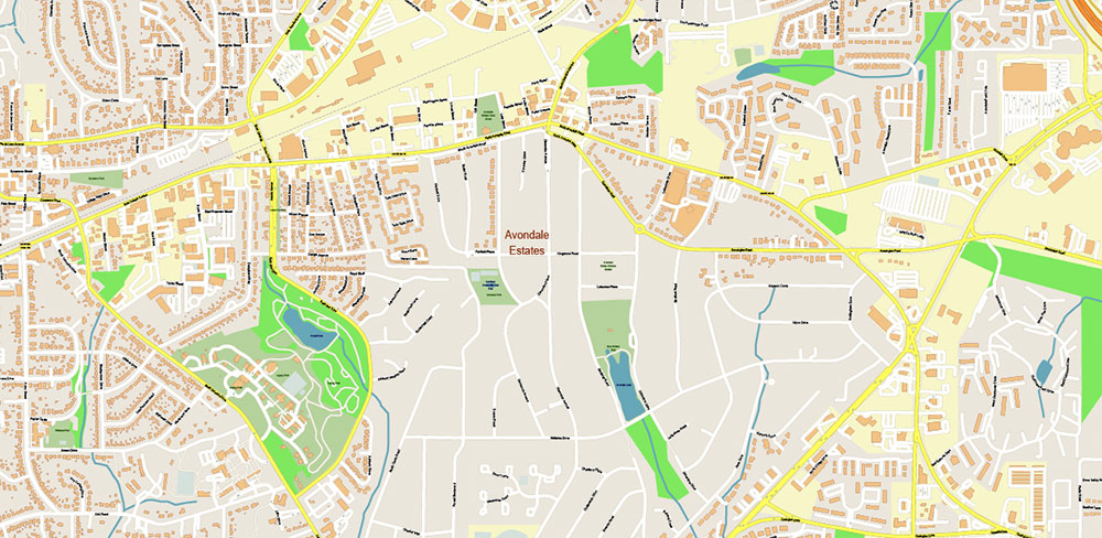
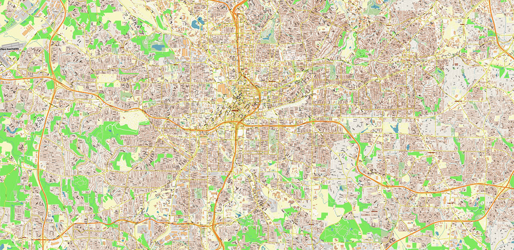
Atlanta Georgia US Vector Map exact high detailed editable layered Adobe Illustrator
Atlanta Georgia US Vector Map exact high detailed editable layered Adobe Illustrator
Atlanta Georgia US Vector Map exact high detailed editable layered Adobe Illustrator
Atlanta Georgia US Vector Map exact high detailed editable layered Adobe Illustrator
Atlanta Georgia US Vector Map exact high detailed editable layered Adobe Illustrator
Atlanta Georgia US Vector Map exact high detailed editable layered Adobe Illustrator
Atlanta Georgia US Vector Map exact high detailed editable layered Adobe Illustrator
Atlanta Georgia US Vector Map exact high detailed editable layered Adobe Illustrator
Atlanta Georgia US Vector Map exact high detailed editable layered Adobe Illustrator
Atlanta Georgia US Vector Map exact high detailed editable layered Adobe Illustrator
Atlanta Georgia US Vector Map exact high detailed editable layered Adobe Illustrator
Atlanta Georgia US Vector Map exact high detailed editable layered Adobe Illustrator
Atlanta Georgia US Vector Map exact high detailed editable layered Adobe Illustrator
Atlanta Georgia US Vector Map exact high detailed editable layered Adobe Illustrator
Atlanta Georgia US Vector Map exact high detailed editable layered Adobe Illustrator
Atlanta Georgia US Vector Map exact high detailed editable layered Adobe Illustrator
Atlanta Georgia US Vector Map exact high detailed editable layered Adobe Illustrator
Atlanta Georgia US Vector Map exact high detailed editable layered Adobe Illustrator
Atlanta Georgia US Vector Map exact high detailed editable layered Adobe Illustrator
Atlanta Georgia US Vector Map exact high detailed editable layered Adobe Illustrator
Atlanta Georgia US Vector Map exact high detailed editable layered Adobe Illustrator
Atlanta Georgia US Vector Map exact high detailed editable layered Adobe Illustrator
Atlanta Georgia US Vector Map exact high detailed editable layered Adobe Illustrator
Atlanta Georgia US Vector Map exact high detailed editable layered Adobe Illustrator

Atlanta Georgia US Vector Map exact high detailed editable layered Adobe Illustrator

 Author: Kirill Shrayber, Ph.D. FRGS

