


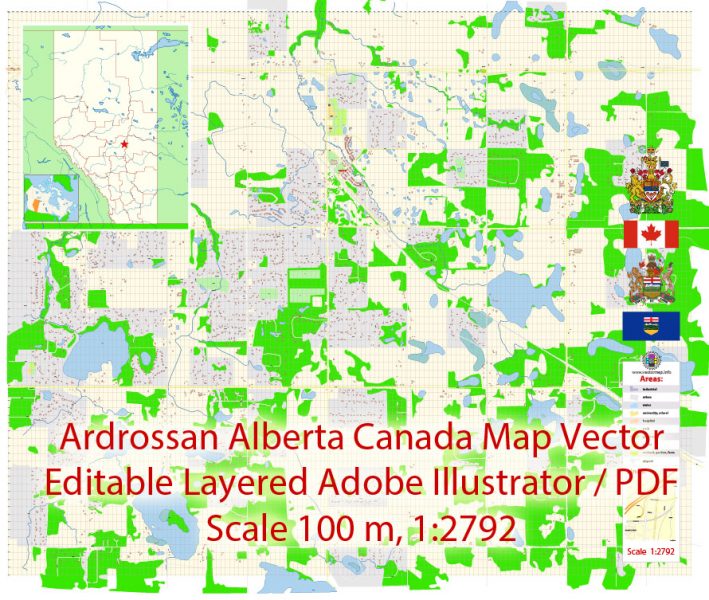
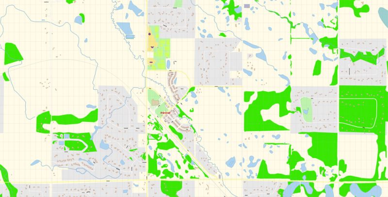
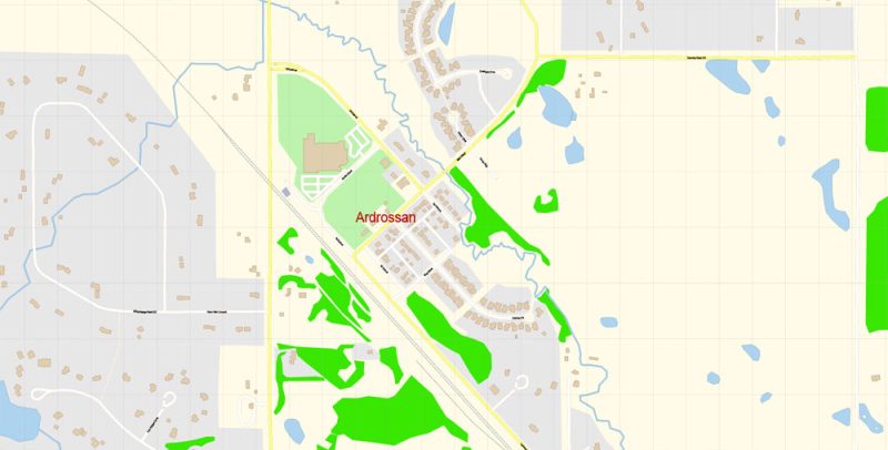
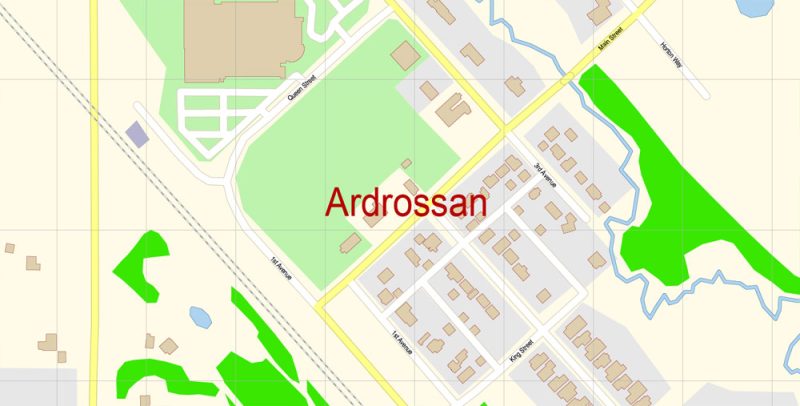
Printable Vector Map of Ardrossan area Alberta Canada detailed City Plan scale 100 m 1:2792 full editable Adobe Illustrator Street Map in layers, scalable, text format all names, 2 MB ZIP
All street names, Main Objects, Principal Buildings. Map for design, printing, arts, projects, presentations, for architects, designers, and builders, business, logistics.
Layers: color_fills, water, streets_roads, labels_roads, names_objects, names_streets, names_places, arrows_streets, buildings, grids, legend, etc.
The most exact and detailed map of the city in scale.
For Editing and High-Quality Printing
- Instant download after payment
- Commercial use license included (full)
- Operated by SolCity Nav LLC (DE, USA)
You can use this map in commercial projects, prints, media, and client work.


 Author: Kirill Shrayber, Ph.D. FRGS