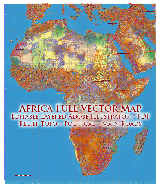
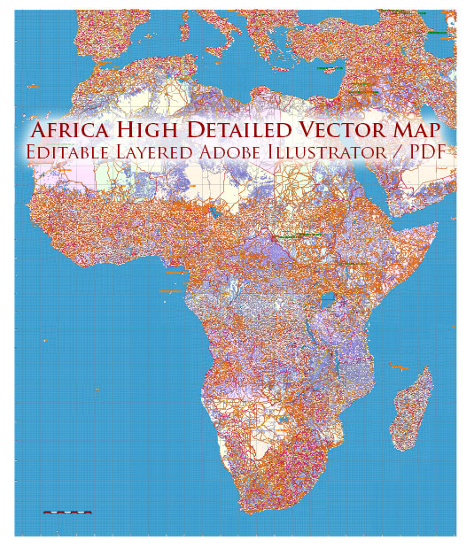
Extended Description of the Vector Map
Printable Vector Map of Africa Full Continent high detailed road map + country areas areas + main cities and towns and water objects + Forest and Green areas, editable Layered Adobe Illustrator, scalable, editable text format of all names, 91 Mb ZIP.
Layered exact editable map: Map for publishing, design, printing, publications, arts, projects, presentations, for architects, designers, and builders, business, logistics. The most exact and detailed map. GPS correct Mercator Projection.
For printing any format.
Please note: in the preview, ALL LAYERS are enabled and visible. Of course, you can easily turn off the layers you don’t need and the map will become much simpler.
DWG, DXF, CDR, ESRI Shapes, and other formats – by request, the same price, please contact.
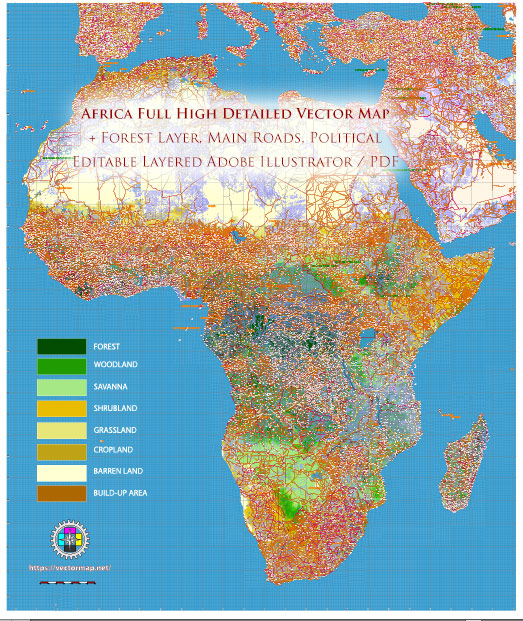
Africa full Vector Map high detailed road and political + Forest Layer, editable layered in Adobe Illustrator
Separated layers:
- Legend
- Lefend 2 (Forest)
- Grids
- Ponts Capital Cities
- Names Cities and Towns (with halo)
- Points Geo (main cities and towns)
- Names Countries
- Urban areas
- Main roads
- Secondary roads
- Railroads
- Country boundaries
- Waterways
- Water areas
- Forest and green areas (vector)
- Disputed areas
- Country areas
- Sea / Ocean
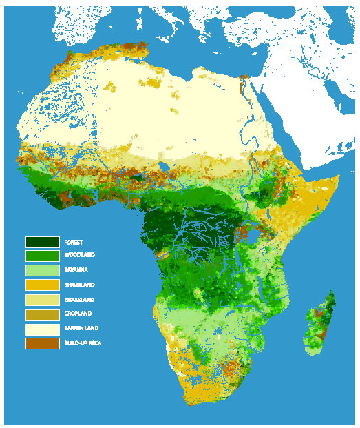
Africa full Vector Map high detailed road and political + Forest Layer, editable layered in Adobe Illustrator
Africa is renowned for its diverse and expansive natural landscapes, which encompass a variety of ecosystems including forests, jungles, savannas, bushlands, and grasslands. Below is a detailed description of these regions:
1. Tropical Rainforests
- Locations: Predominantly found in Central and West Africa, particularly in countries like the Democratic Republic of Congo (DRC), Gabon, Cameroon, and Nigeria.
- Characteristics:
- Dense, evergreen forests with high biodiversity.
- Warm temperatures and high humidity throughout the year.
- Rainfall often exceeds 2,000 mm annually.
- Home to iconic species such as gorillas, chimpanzees, okapis, and forest elephants.
- Notable Regions:
- Congo Rainforest: The second-largest tropical rainforest in the world after the Amazon.
- Cross River National Park (Nigeria): Contains one of the last primary rainforests in the region.
2. Mangrove Forests
- Locations: Coastal areas of West and East Africa, including Senegal, Mozambique, and Madagascar.
- Characteristics:
- Found along tropical and subtropical coastlines.
- Crucial for coastal protection and carbon storage.
- Provide habitat for fish, crabs, and various bird species.
- Notable Regions:
- Niger Delta: Hosts extensive mangrove forests and supports diverse aquatic life.
3. Savannas
- Locations: Cover nearly 65% of Africa, notably in East and Southern Africa (Kenya, Tanzania, Botswana, and Zimbabwe).
- Characteristics:
- Grasslands interspersed with scattered trees and shrubs.
- Marked by distinct wet and dry seasons.
- Renowned for iconic wildlife such as lions, elephants, giraffes, and zebras.
- Notable Regions:
- Serengeti Plains (Tanzania and Kenya): Famous for the Great Migration of wildebeests and zebras.
- Okavango Delta (Botswana): A unique inland delta surrounded by savanna.
4. Bushlands and Shrublands
- Locations: Found across the continent, especially in semi-arid regions like the Sahel, parts of Southern Africa, and the Horn of Africa.
- Characteristics:
- Dominated by hardy shrubs, small trees, and dry-adapted plants.
- Semi-arid climate with sporadic rainfall.
- Wildlife includes antelope, ostriches, and reptiles.
- Notable Regions:
- Karoo (South Africa): A semi-desert shrubland with unique flora and fauna.
- Somali Acacia-Commiphora Bushlands (Somalia and Ethiopia): Known for its drought-tolerant plant species.
5. Grasslands
- Locations: Common in East Africa (Kenya, Uganda, Ethiopia) and parts of Southern Africa.
- Characteristics:
- Vast open spaces dominated by grasses and few trees.
- Fertile soils, making these areas ideal for grazing.
- Host to many herbivores and predators.
- Notable Regions:
- Highveld (South Africa): A high-altitude grassland with diverse flora and fauna.
6. Montane Forests
- Locations: Found in high-altitude areas such as the Ethiopian Highlands, Rwenzori Mountains, and the Albertine Rift.
- Characteristics:
- Cool, moist climate.
- Unique species adapted to high elevations, including the Ethiopian wolf and mountain gorillas.
- Notable Regions:
- Bwindi Impenetrable Forest (Uganda): A UNESCO World Heritage site and habitat for mountain gorillas.
7. Desert Ecosystem Transition Zones
- Locations: Found in areas bordering major deserts like the Sahara, Namib, and Kalahari.
- Characteristics:
- Sparse vegetation with drought-resistant plants.
- Transitional zones may have shrublands or grass patches.
- Notable Regions:
- Sahel: A semi-arid zone south of the Sahara that supports both pastoralism and wildlife.
Conservation and Challenges
- Deforestation: Logging, agriculture, and urbanization threaten forests, particularly in the Congo Basin.
- Wildlife Protection: Poaching and habitat destruction impact biodiversity.
- Climate Change: Alters rainfall patterns, threatening savannas and grasslands.
These ecosystems are vital not only for their biodiversity but also for the livelihoods of millions of people, serving as sources of food, medicine, and economic resources. Conservation efforts are crucial to maintaining their ecological balance.
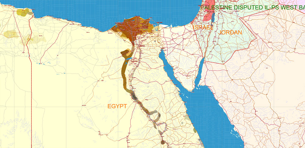
Africa full Vector Map high detailed road and political + Forest Layer, editable layered in Adobe Illustrator
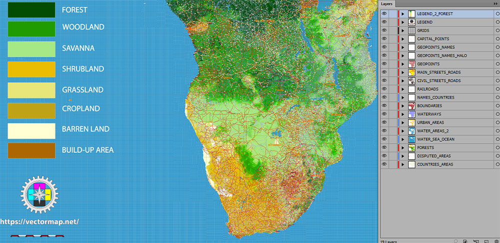
Africa full Vector Map high detailed road and political + Forest Layer, editable layered in Adobe Illustrator
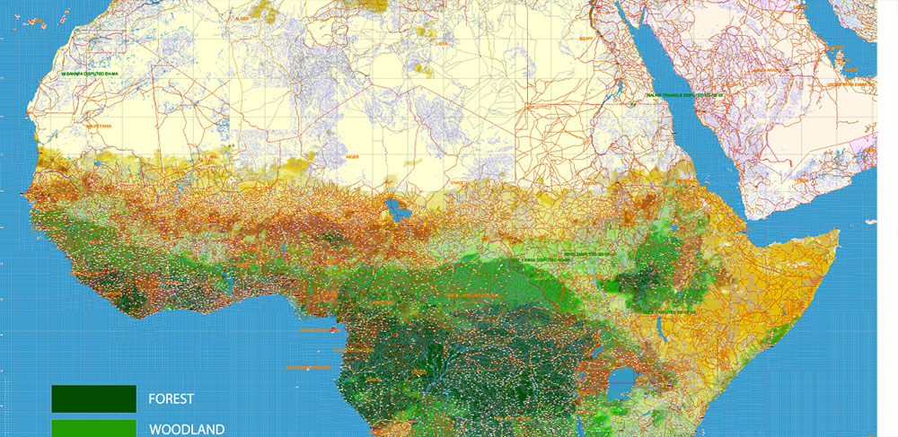
Africa full Vector Map high detailed road and political + Forest Layer, editable layered in Adobe Illustrator
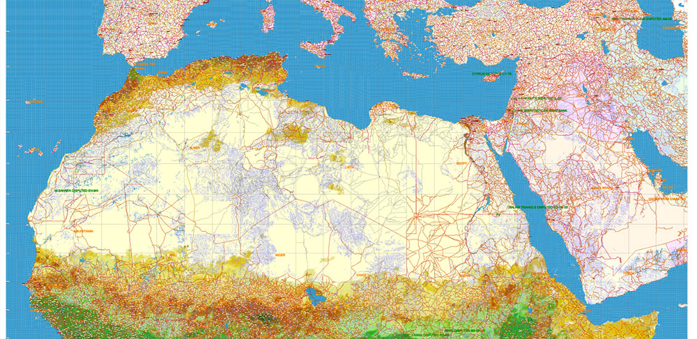
Africa full Vector Map high detailed road and political + Forest Layer, editable layered in Adobe Illustrator
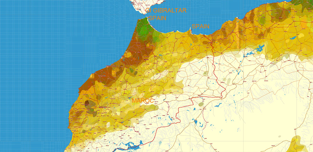
Africa full Vector Map high detailed road and political + Forest Layer, editable layered in Adobe Illustrator
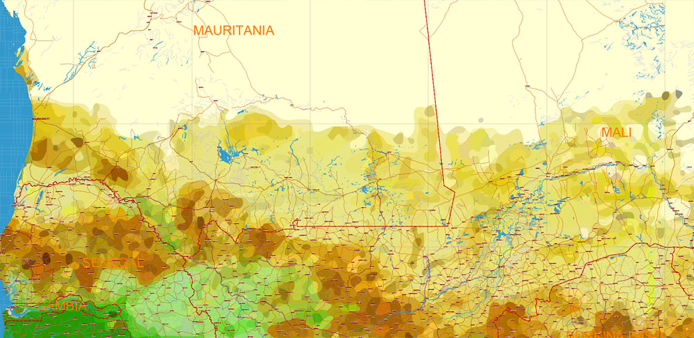
Africa full Vector Map high detailed road and political + Forest Layer, editable layered in Adobe Illustrator
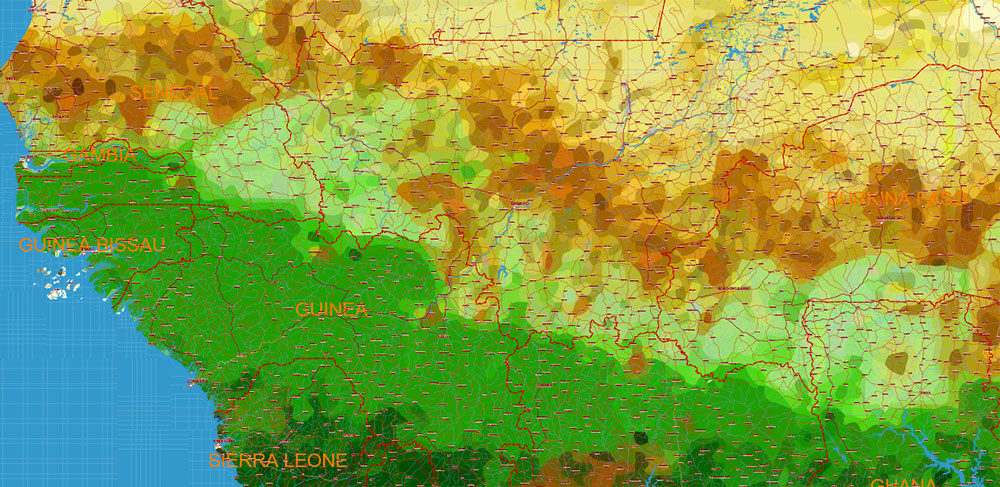
Africa full Vector Map high detailed road and political + Forest Layer, editable layered in Adobe Illustrator
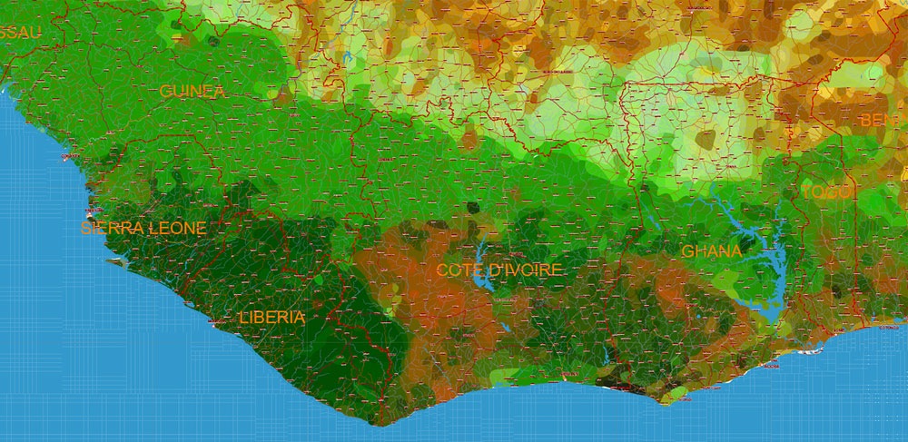
Africa full Vector Map high detailed road and political + Forest Layer, editable layered in Adobe Illustrator
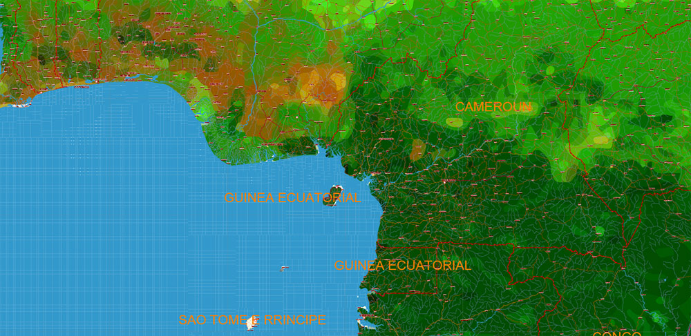
Africa full Vector Map high detailed road and political + Forest Layer, editable layered in Adobe Illustrator
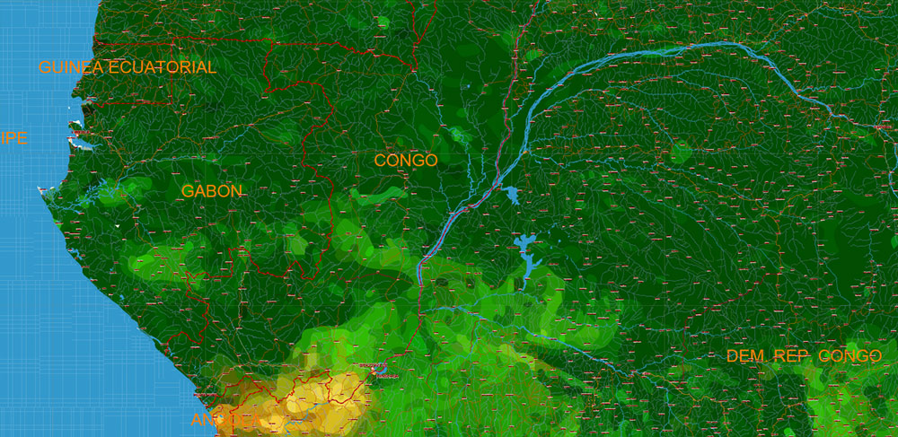
Africa full Vector Map high detailed road and political + Forest Layer, editable layered in Adobe Illustrator
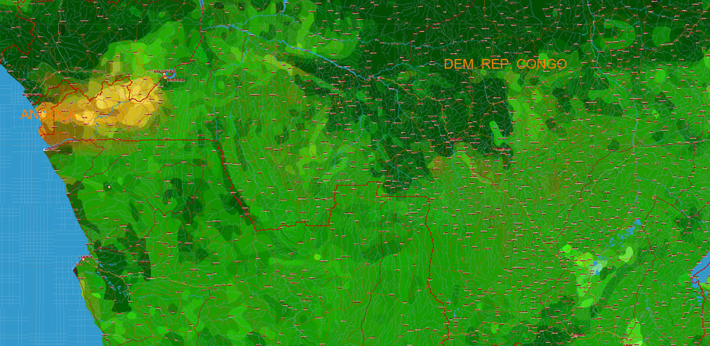
Africa full Vector Map high detailed road and political + Forest Layer, editable layered in Adobe Illustrator
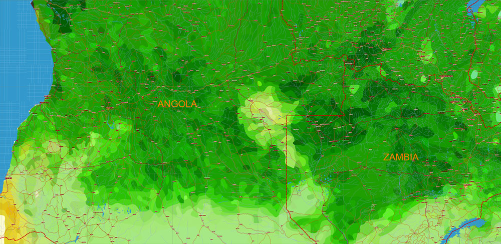
Africa full Vector Map high detailed road and political + Forest Layer, editable layered in Adobe Illustrator
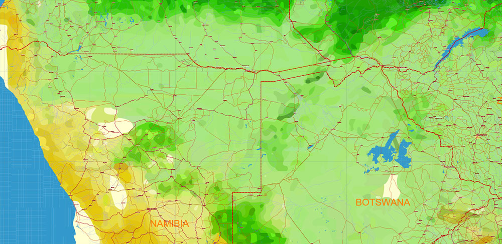
Africa full Vector Map high detailed road and political + Forest Layer, editable layered in Adobe Illustrator
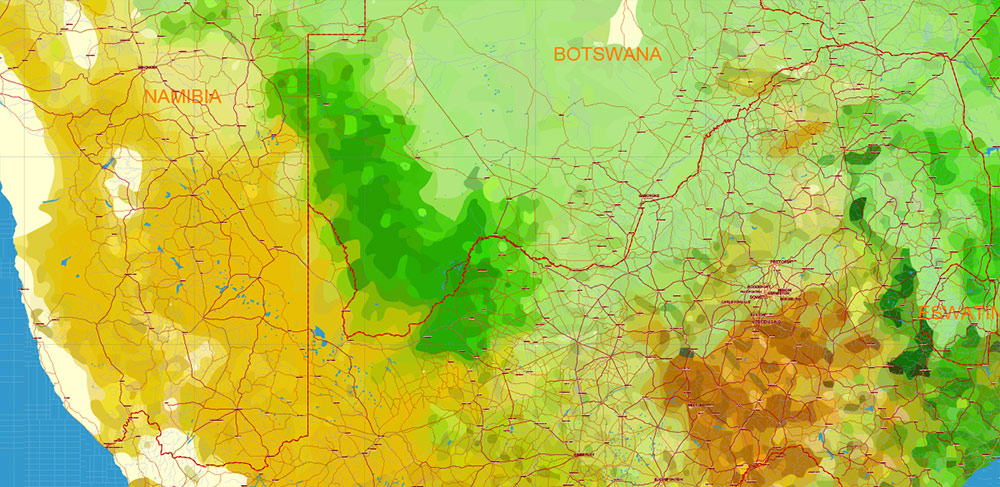
Africa full Vector Map high detailed road and political + Forest Layer, editable layered in Adobe Illustrator
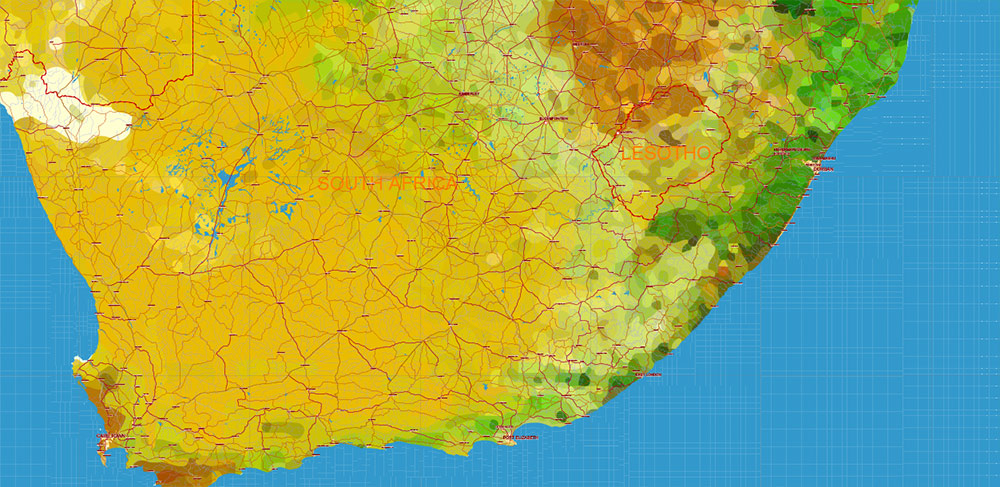
Africa full Vector Map high detailed road and political + Forest Layer, editable layered in Adobe Illustrator
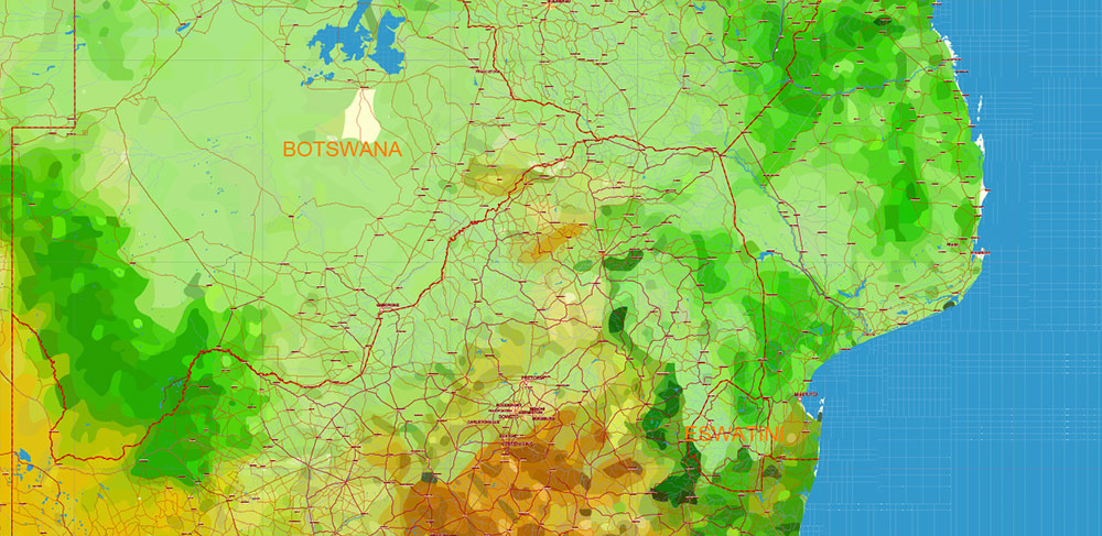
Africa full Vector Map high detailed road and political + Forest Layer, editable layered in Adobe Illustrator
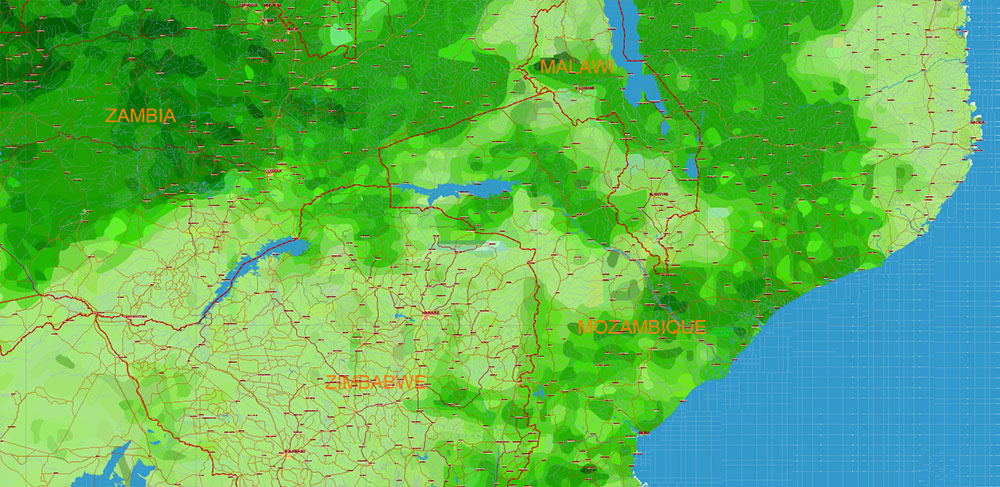
Africa full Vector Map high detailed road and political + Forest Layer, editable layered in Adobe Illustrator
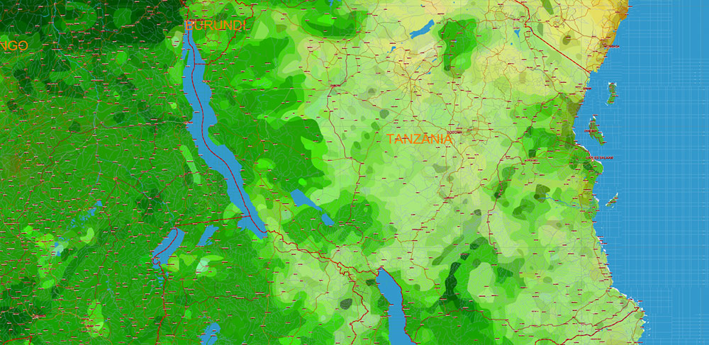
Africa full Vector Map high detailed road and political + Forest Layer, editable layered in Adobe Illustrator
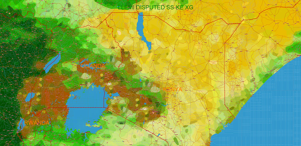
Africa full Vector Map high detailed road and political + Forest Layer, editable layered in Adobe Illustrator
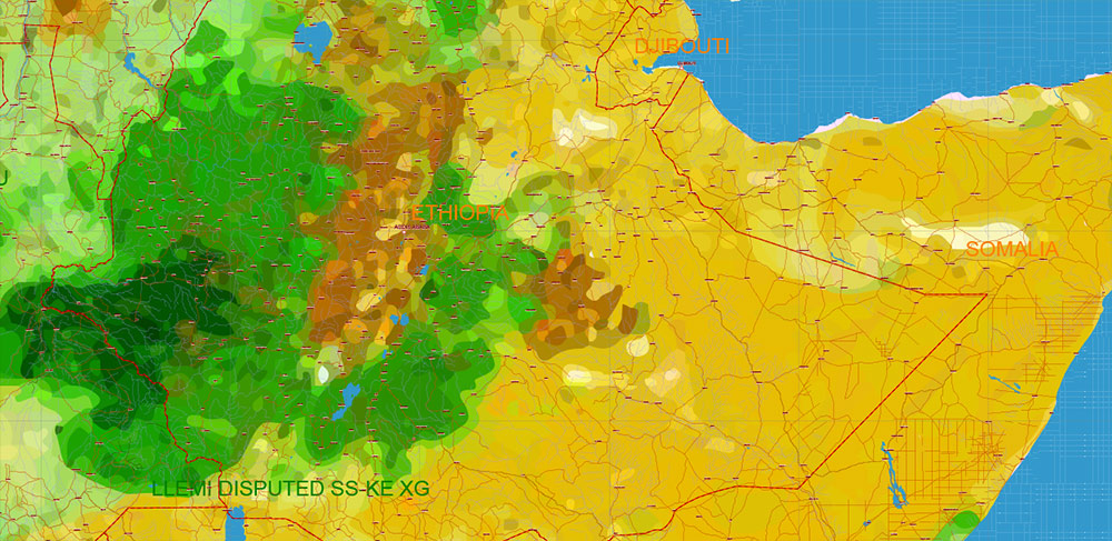
Africa full Vector Map high detailed road and political + Forest Layer, editable layered in Adobe Illustrator
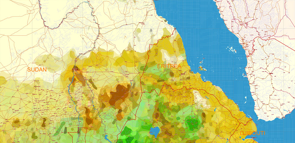
Africa full Vector Map high detailed road and political + Forest Layer, editable layered in Adobe Illustrator


 Author: Kirill Shrayber, Ph.D. FRGS