Extended Description of the Vector Map
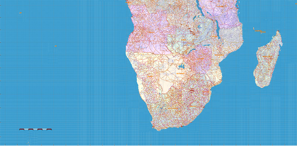
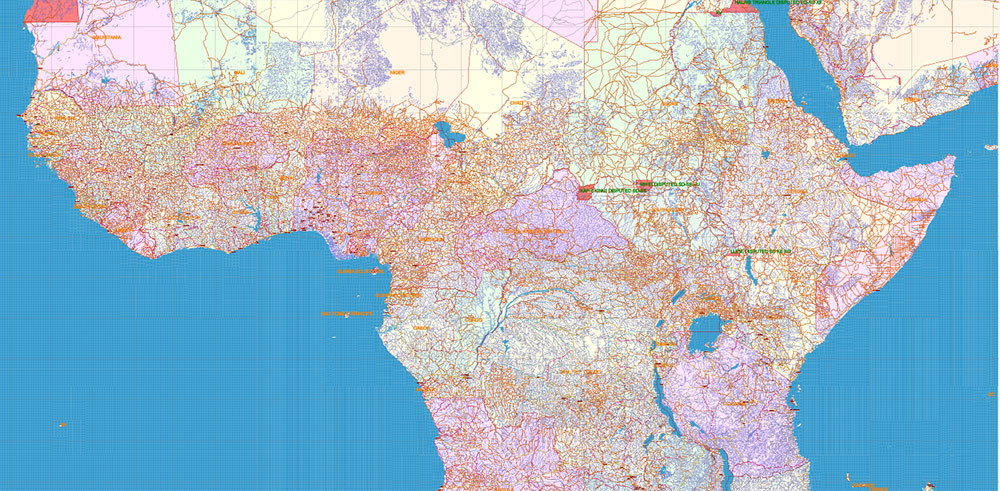
Printable PDF Vector Map of Africa Full Continent high detailed road map + country areas areas + main cities and towns and water objects editable Layered Adobe PDF, scalable, editable text format of all names, 187 Mb ZIP.
Layered exact editable map: Map for publishing, design, printing, publications, arts, projects, presentations, for architects, designers, and builders, business, logistics. The most exact and detailed map. GPS correct Mercator Projection.
For printing any format.
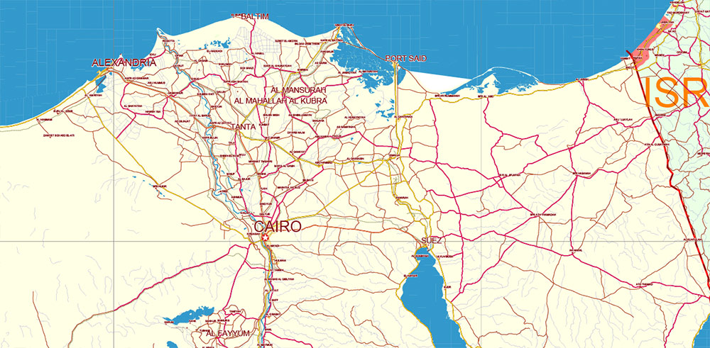
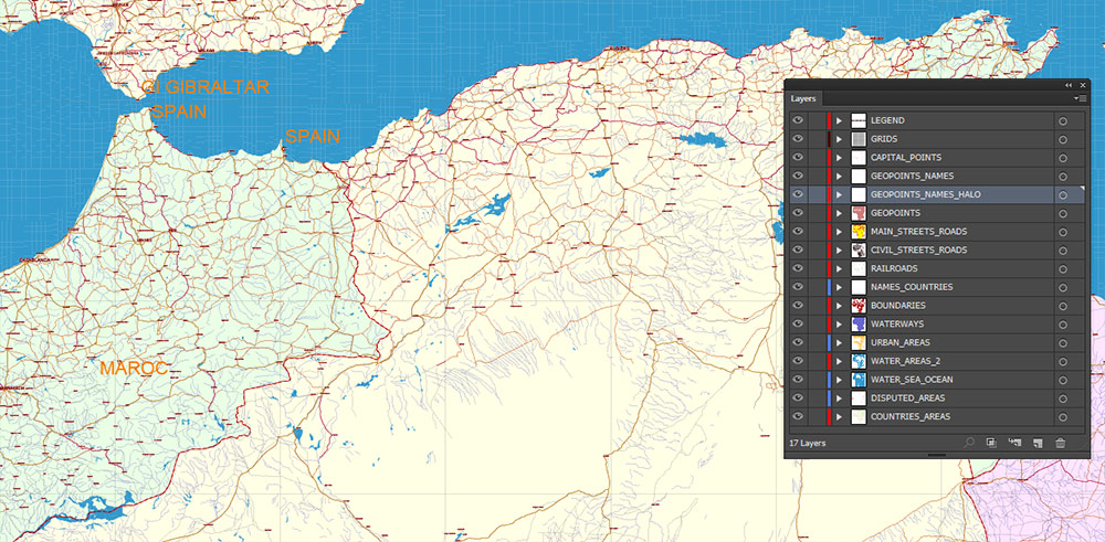
Please note: in the preview, ALL LAYERS are enabled and visible. Of course, you can easily turn off the layers you don’t need and the map will become much simpler.
DWG, DXF, CDR, ESRI Shapes, and other formats – by request, the same price, please contact.
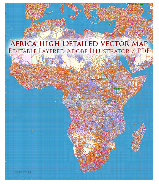
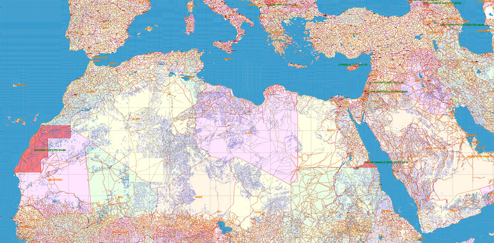
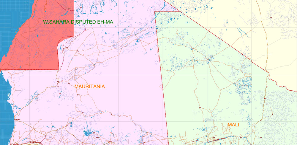
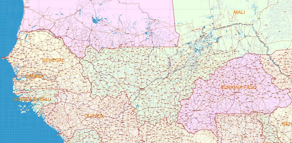
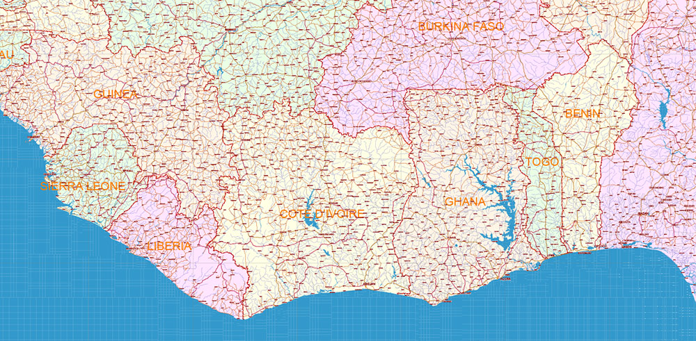
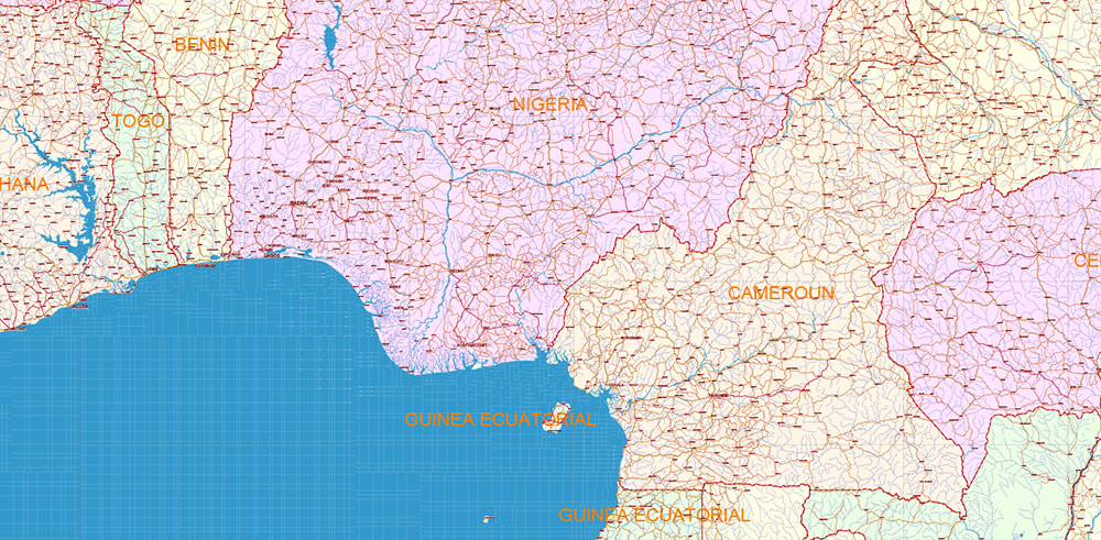
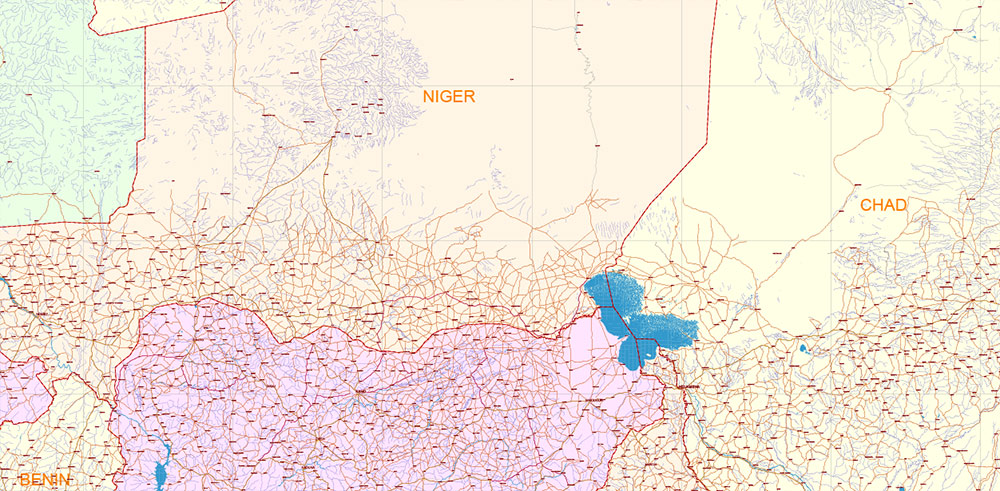
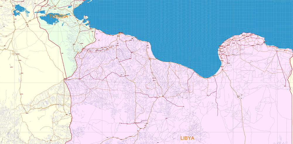
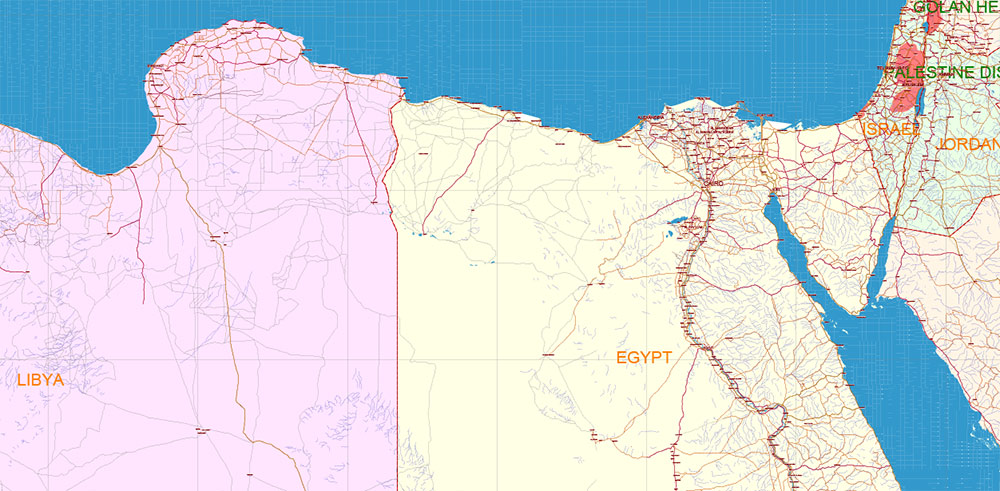
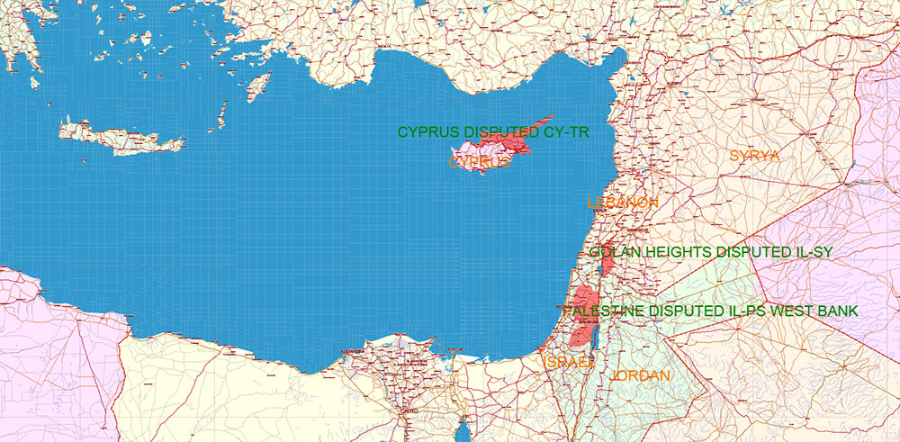
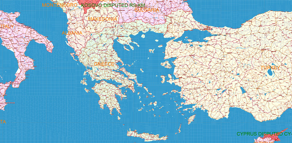
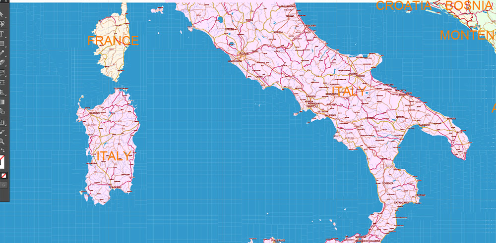
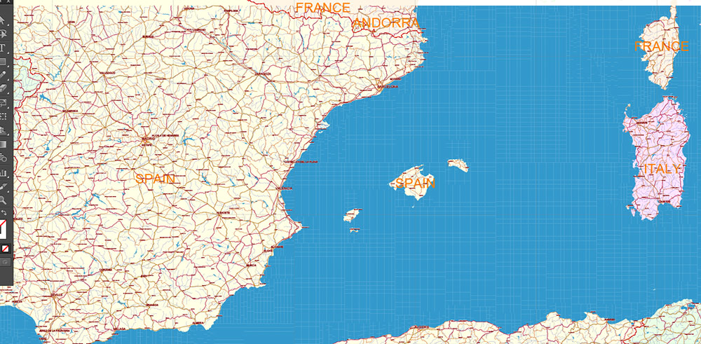
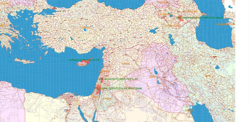
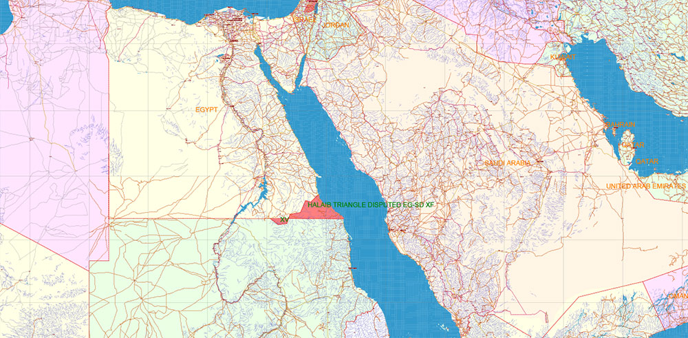
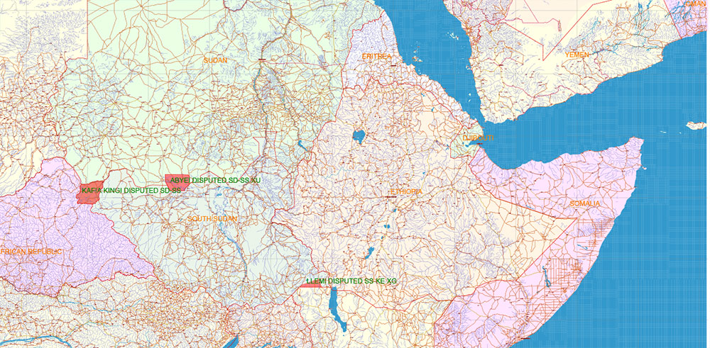
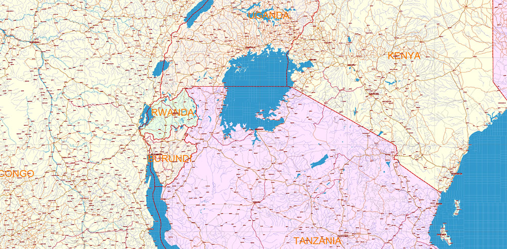
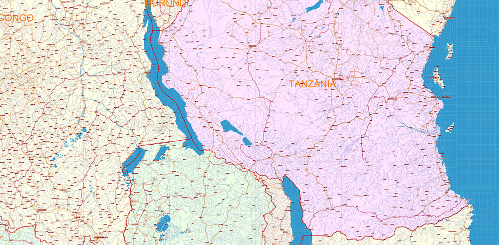
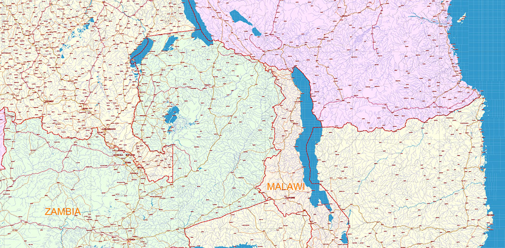
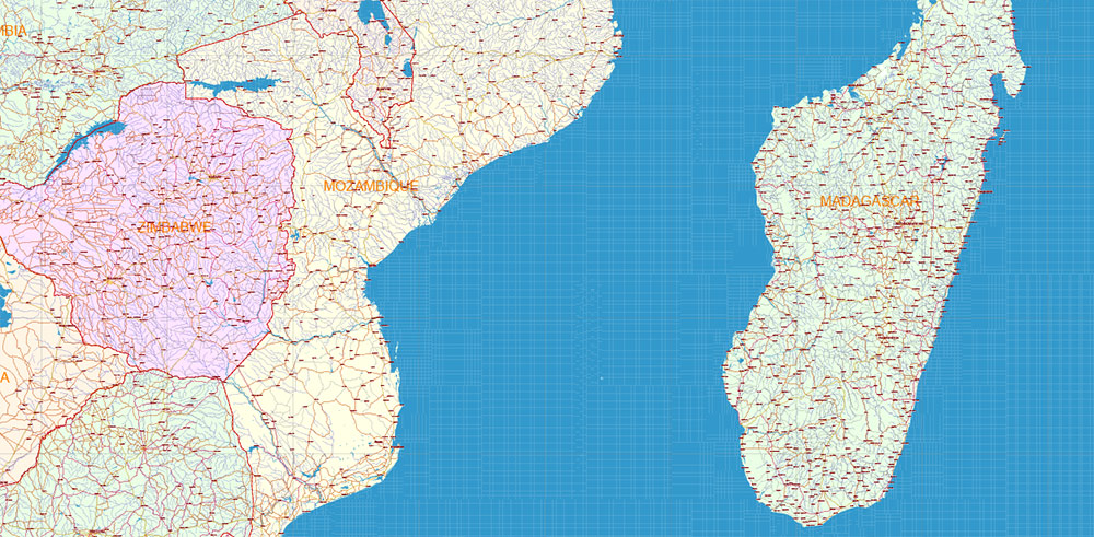
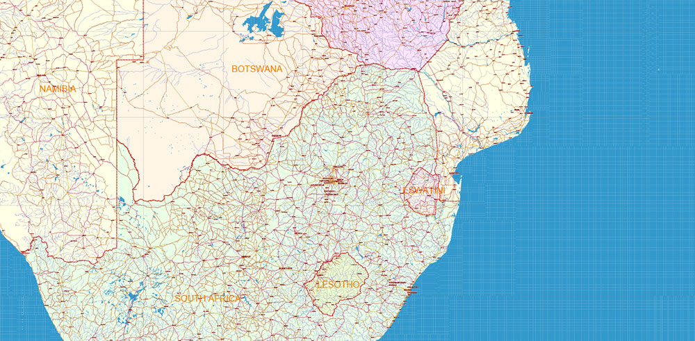
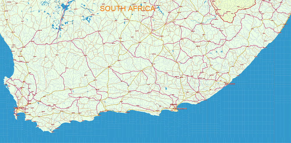
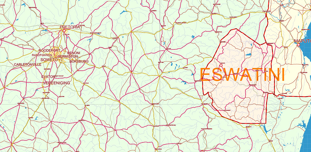
Africa full PDF Vector Map high detailed editable layered in Adobe PDF
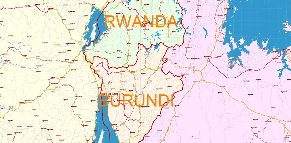
Separated layers:
- Legend
- Grids
- Ponts Capital Cities
- Names Cities and Towns (with halo)
- Points Geo (main cities and towns)
- Names Countries
- Urban areas
- Main roads
- Secondary roads
- Railroads
- Country boundaries
- Waterways
- Water areas
- Disputed areas
- Country areas
- Sea / Ocean
Africa full PDF Vector Map high detailed editable layered in Adobe PDF
Africa full PDF Vector Map high detailed editable layered in Adobe PDF
Africa full PDF Vector Map high detailed editable layered in Adobe PDF
Africa full PDF Vector Map high detailed editable layered in Adobe PDF
Africa full PDF Vector Map high detailed editable layered in Adobe PDF
Africa full PDF Vector Map high detailed editable layered in Adobe PDF
Africa full PDF Vector Map high detailed editable layered in Adobe PDF
Africa full PDF Vector Map high detailed editable layered in Adobe PDF
Africa full PDF Vector Map high detailed editable layered in Adobe PDF
Africa full PDF Vector Map high detailed editable layered in Adobe PDF
Africa full PDF Vector Map high detailed editable layered in Adobe PDF
Africa full PDF Vector Map high detailed editable layered in Adobe PDF
Africa full PDF Vector Map high detailed editable layered in Adobe PDF
Africa full PDF Vector Map high detailed editable layered in Adobe PDF
Africa full PDF Vector Map high detailed editable layered in Adobe PDF
Africa full PDF Vector Map high detailed editable layered in Adobe PDF
Africa full PDF Vector Map high detailed editable layered in Adobe PDF
Africa full PDF Vector Map high detailed editable layered in Adobe PDF
Africa full PDF Vector Map high detailed editable layered in Adobe PDF
Africa full PDF Vector Map high detailed editable layered in Adobe PDF
Africa full PDF Vector Map high detailed editable layered in Adobe PDF
Africa full PDF Vector Map high detailed editable layered in Adobe PDF
Africa full PDF Vector Map high detailed editable layered in Adobe PDF
Africa full PDF Vector Map high detailed editable layered in Adobe PDF
Africa full PDF Vector Map high detailed editable layered in Adobe PDF
Africa full PDF Vector Map high detailed editable layered in Adobe PDF

 Author: Kirill Shrayber, Ph.D. FRGS
