Extended Description of the Vector Map
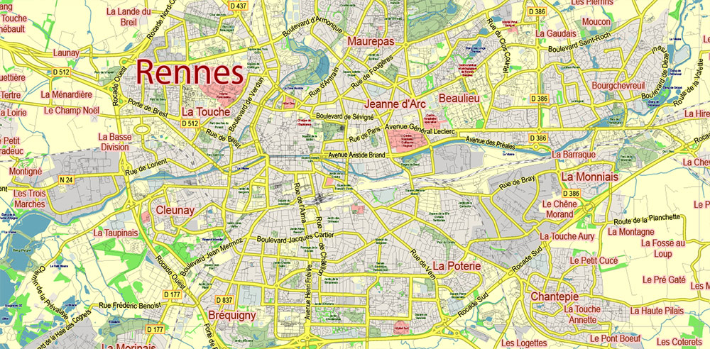
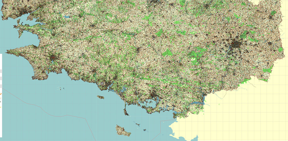
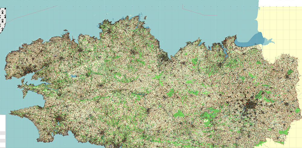
Printable Vector Map Bretagne France, exact extra detailed All Roads and Streets, Cities, Towns map editable Layered Adobe Illustrator scalable, editable text format all names, 191 MB ZIP
All roads, streets, Cities and towns, Water objects and Railroads Map for design, printing, arts, projects, presentations, for architects, designers, and builders, business, logistics.
The most exact and detailed map of Bretagne France full Province.
Map for editing and High-Quality Printing
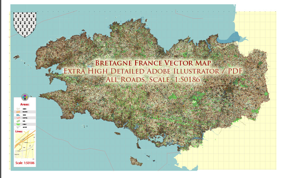
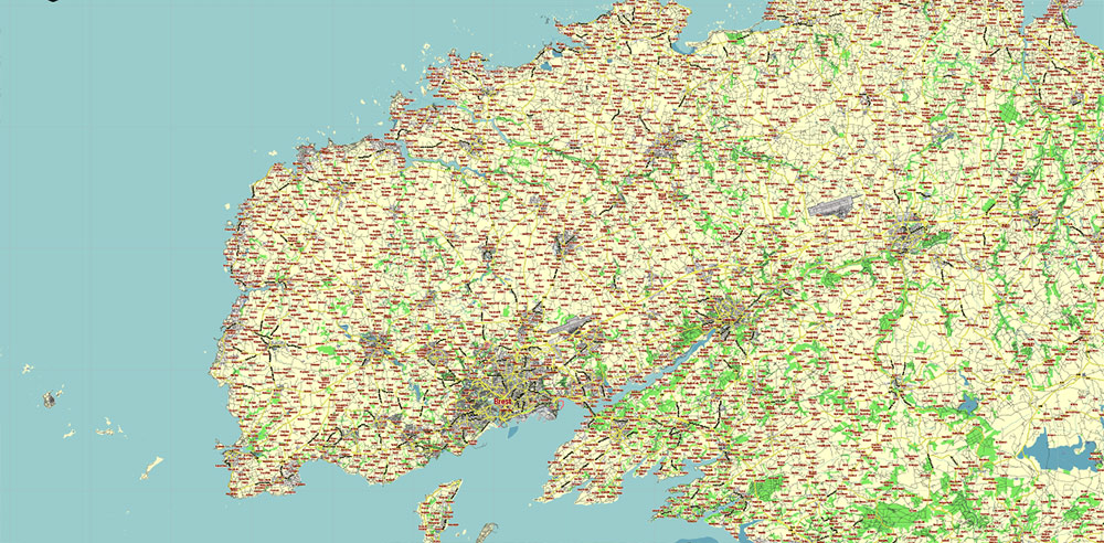
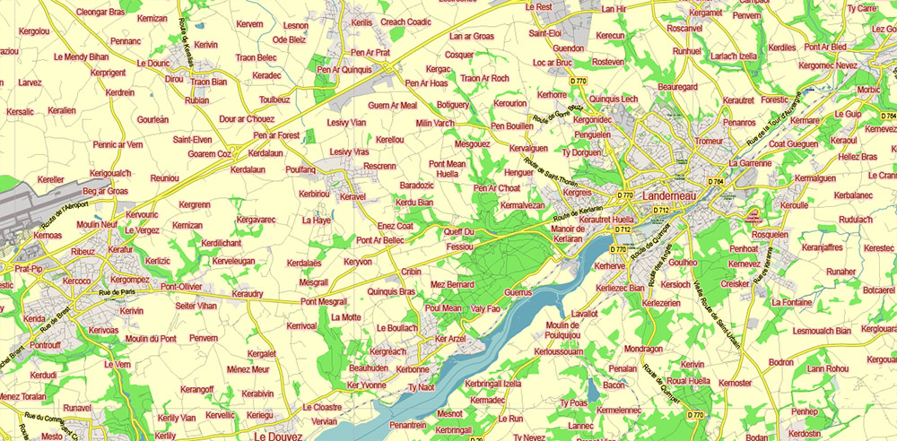
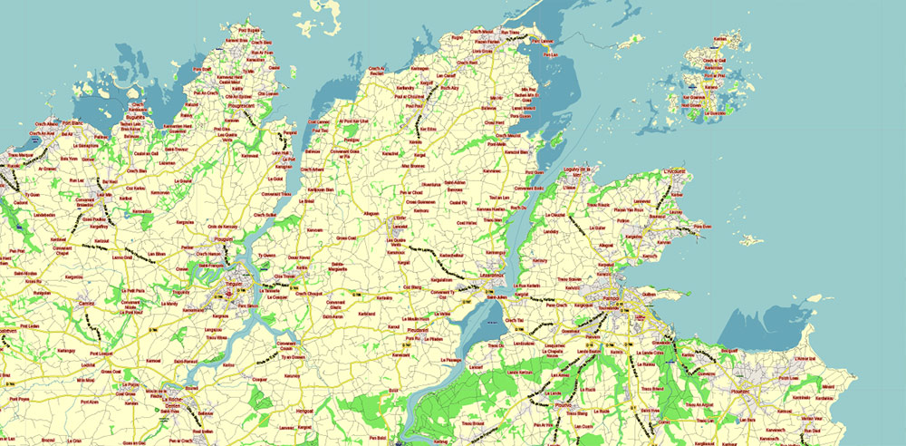
Bretagne France Vector Map exact extra detailed All Roads Cities Towns map editable Layered Adobe Illustrator
Layers list:
- Legend
- Grids
- Labels of Roads
- Names Main Streets
- Names Objects
- Names Places
- Main Streets and Roads
- All Streets and Roads
- Railroads
- Landuse areas
- Water objects (areas)
- Waterways
- Background
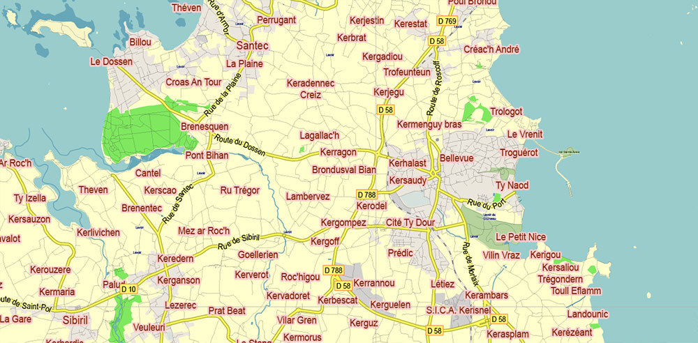
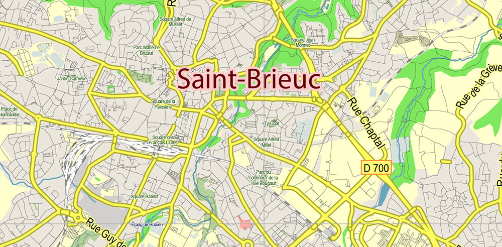
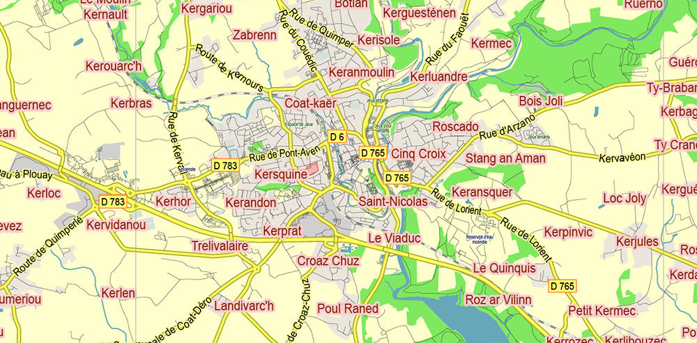
Bretagne France Vector Map exact extra detailed All Roads Cities Towns map editable Layered Adobe Illustrator
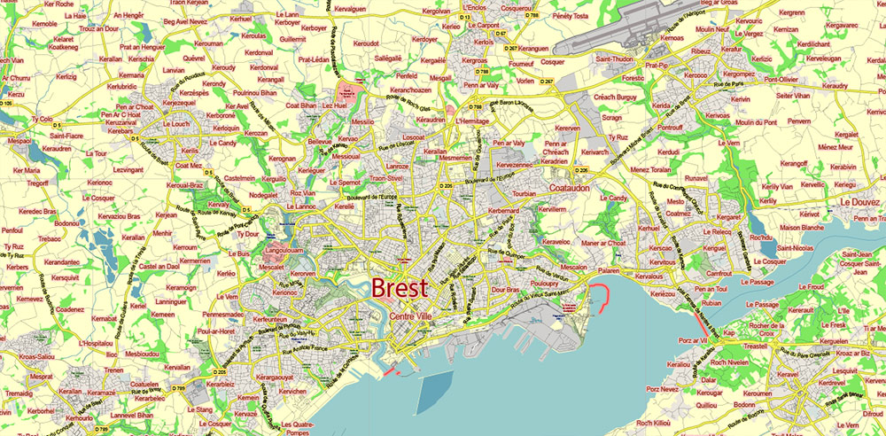
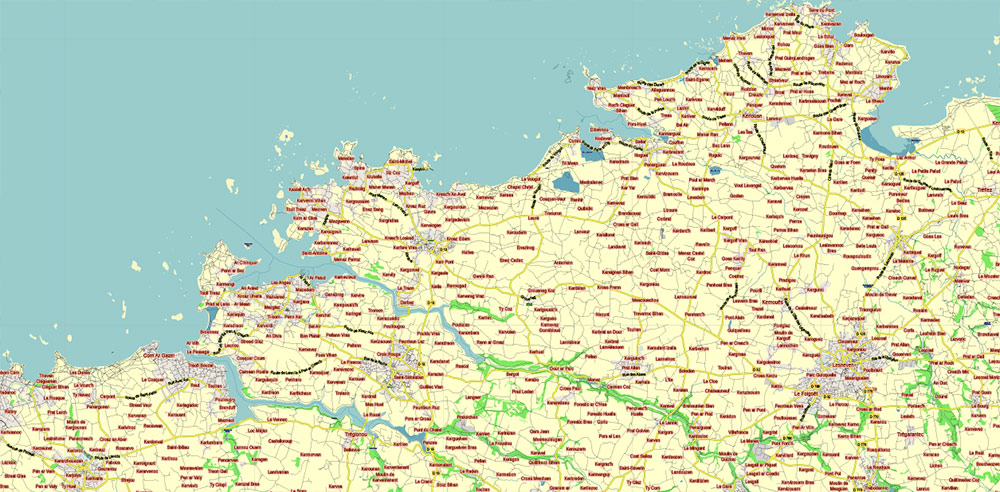
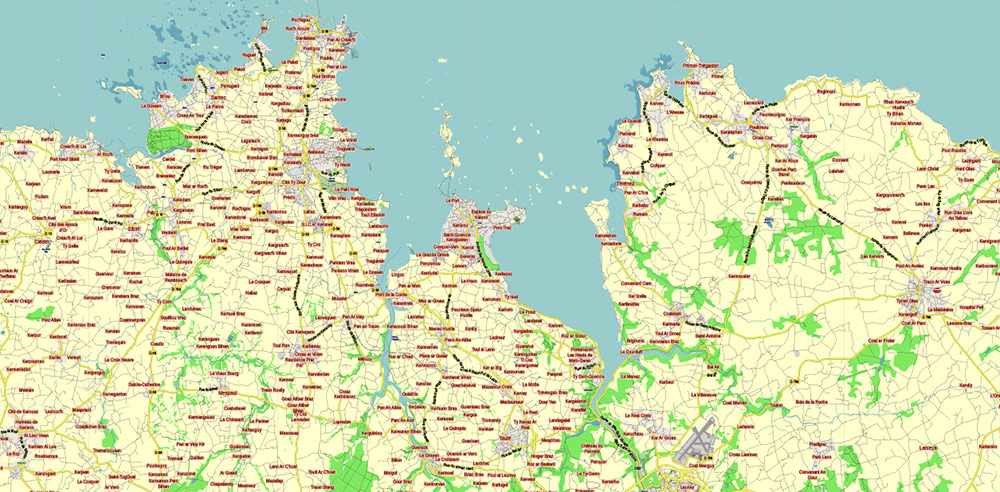
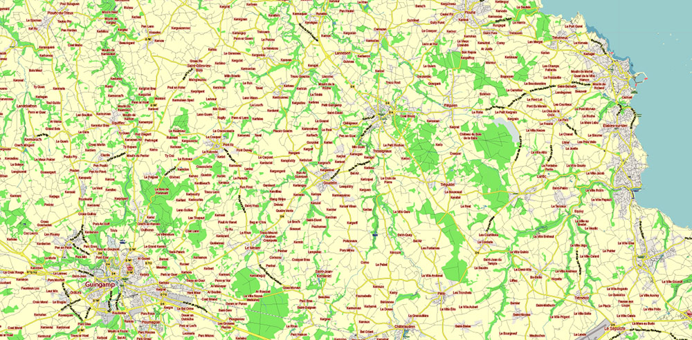
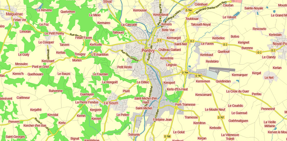
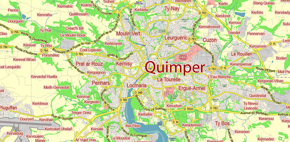
Bretagne France Vector Map exact extra detailed All Roads Cities Towns map editable Layered Adobe Illustrator
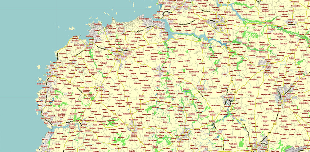
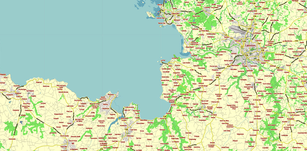
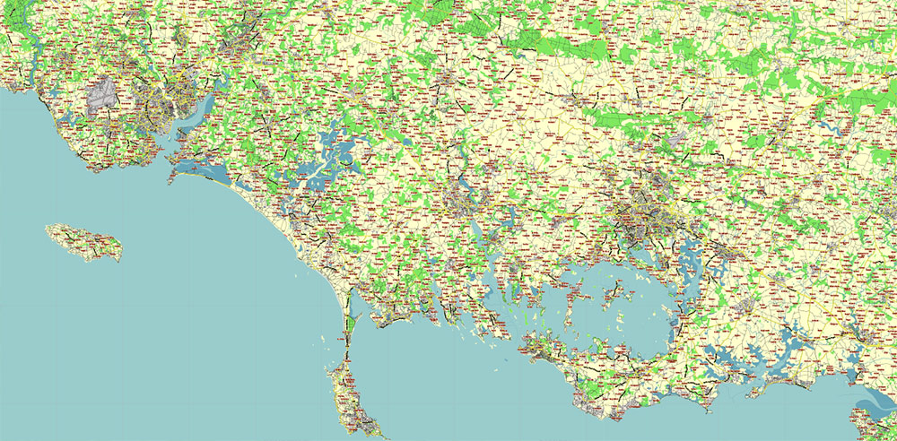
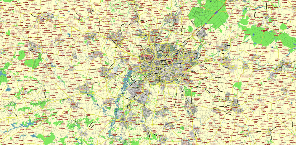
Bretagne France Vector Map exact extra detailed All Roads Cities Towns map editable Layered Adobe Illustrator
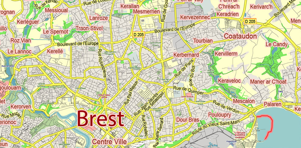
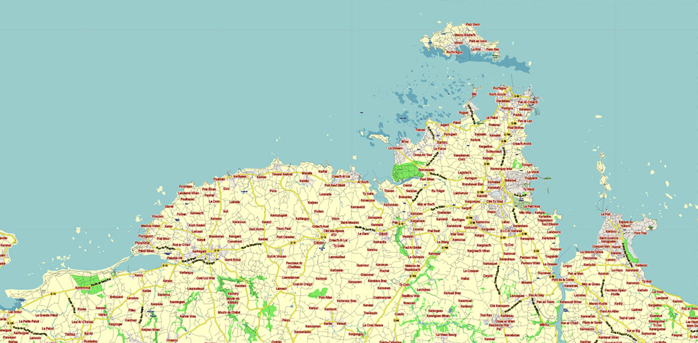
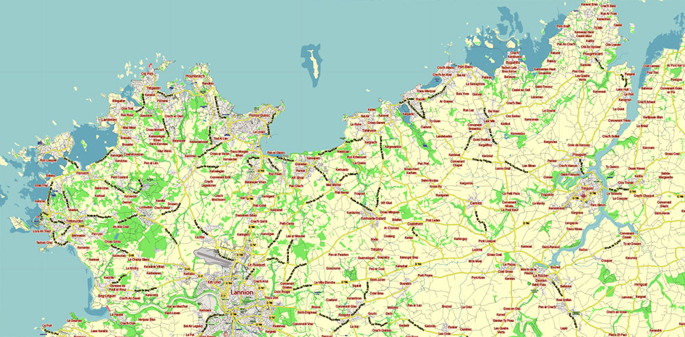
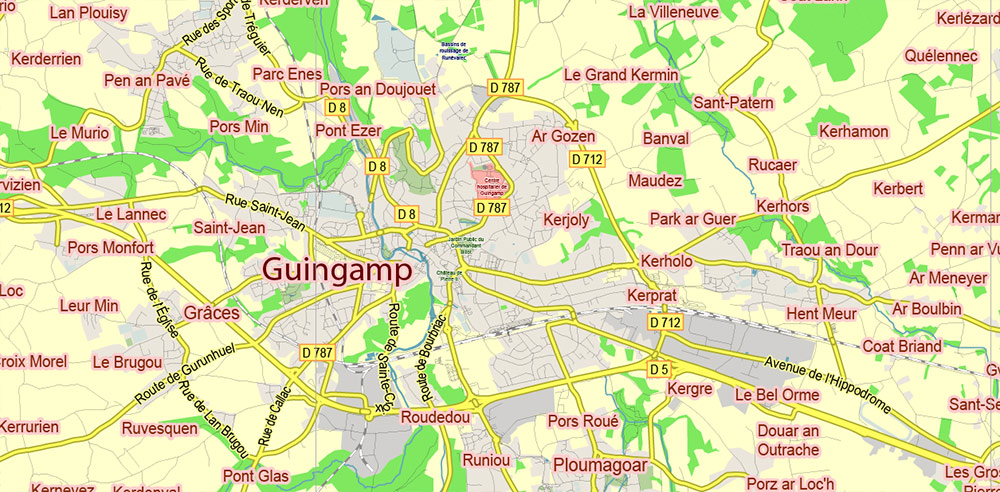
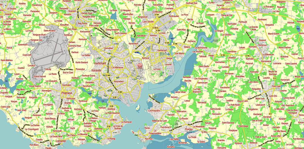
Bretagne France Vector Map exact extra detailed All Roads Cities Towns map editable Layered Adobe Illustrator
Bretagne France Vector Map exact extra detailed All Roads Cities Towns map editable Layered Adobe Illustrator
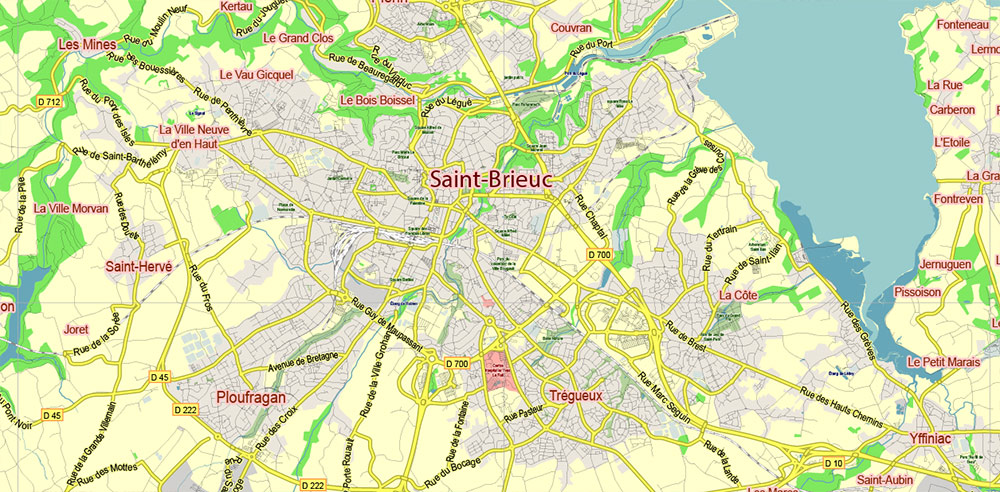
Bretagne France Vector Map exact extra detailed All Roads Cities Towns map editable Layered Adobe Illustrator
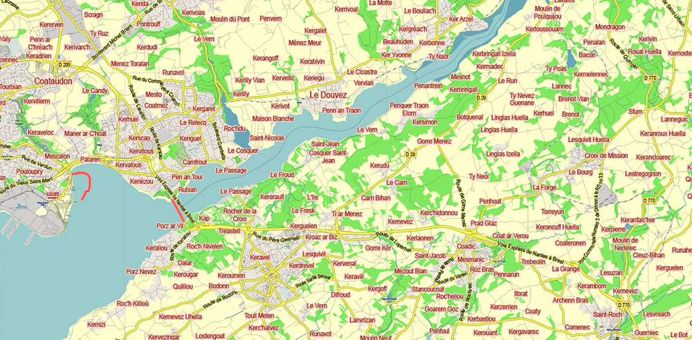
Bretagne France Vector Map exact extra detailed All Roads Cities Towns map editable Layered Adobe Illustrator
Bretagne France Vector Map exact extra detailed All Roads Cities Towns map editable Layered Adobe Illustrator
Bretagne France Vector Map exact extra detailed All Roads Cities Towns map editable Layered Adobe Illustrator
Bretagne France Vector Map exact extra detailed All Roads Cities Towns map editable Layered Adobe Illustrator
Bretagne France Vector Map exact extra detailed All Roads Cities Towns map editable Layered Adobe Illustrator
Bretagne France Vector Map exact extra detailed All Roads Cities Towns map editable Layered Adobe Illustrator
Bretagne France Vector Map exact extra detailed All Roads Cities Towns map editable Layered Adobe Illustrator
Bretagne France Vector Map exact extra detailed All Roads Cities Towns map editable Layered Adobe Illustrator
Bretagne France Vector Map exact extra detailed All Roads Cities Towns map editable Layered Adobe Illustrator
Bretagne France Vector Map exact extra detailed All Roads Cities Towns map editable Layered Adobe Illustrator
Bretagne France Vector Map exact extra detailed All Roads Cities Towns map editable Layered Adobe Illustrator
Bretagne France Vector Map exact extra detailed All Roads Cities Towns map editable Layered Adobe Illustrator
Bretagne France Vector Map exact extra detailed All Roads Cities Towns map editable Layered Adobe Illustrator
Bretagne France Vector Map exact extra detailed All Roads Cities Towns map editable Layered Adobe Illustrator
Bretagne France Vector Map exact extra detailed All Roads Cities Towns map editable Layered Adobe Illustrator
Bretagne France Vector Map exact extra detailed All Roads Cities Towns map editable Layered Adobe Illustrator
Bretagne France Vector Map exact extra detailed All Roads Cities Towns map editable Layered Adobe Illustrator
Bretagne France Vector Map exact extra detailed All Roads Cities Towns map editable Layered Adobe Illustrator
Bretagne France Vector Map exact extra detailed All Roads Cities Towns map editable Layered Adobe Illustrator

Bretagne France Vector Map exact extra detailed All Roads Cities Towns map editable Layered Adobe Illustrator
Bretagne France Vector Map exact extra detailed All Roads Cities Towns map editable Layered Adobe Illustrator

 Author: Kirill Shrayber, Ph.D. FRGS