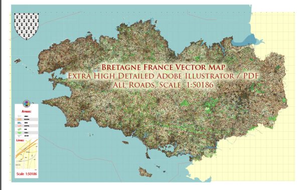
A general overview of the history and road system of Bretagne (Brittany), France.
Vectormap.Net provide you with the most accurate and up-to-date vector maps in Adobe Illustrator, PDF and other formats, designed for editing and printing. Please read the vector map descriptions carefully.
History of Bretagne:
- Ancient History: The history of Bretagne dates back to ancient times when it was inhabited by Celtic tribes. The region was known as Armorica and had close ties with Celtic Britain.
- Roman Influence: The Romans occupied the region during the 1st century BC. However, their control over Armorica was limited, and the Celtic culture persisted.
- Medieval Period: In the medieval period, the region became known as Bretagne, and it developed its distinct Breton identity. It experienced periods of independence as well as being incorporated into the Kingdom of France.
- Duchy of Bretagne: The Duchy of Bretagne was established in the 9th century. It maintained a certain level of autonomy, often engaging in complex political alliances with neighboring regions.
- Union with France: Over time, due to various factors including strategic marriages, Bretagne became part of the Kingdom of France. The union was officially solidified in the 16th century.
- Breton Culture: Despite its integration into France, Bretagne has preserved a strong sense of cultural identity. The Breton language, music, dance, and traditions continue to play a significant role in the region’s identity.
Road System in Bretagne:
Bretagne has a well-developed road network, connecting its cities, towns, and rural areas. As of my last update, here are some key points about the road system:
- Major Highways: Bretagne is served by several major highways, including the A11, A81, A84, A13, and A28, which connect the region to other parts of France.
- Regional Roads: The region has an extensive network of regional roads (Routes Départementales) that facilitate travel within Bretagne.
- Coastal Roads: Given Bretagne’s coastal geography, there are scenic coastal roads that offer breathtaking views of the Atlantic Ocean.
- Tourist Routes: The region has designated tourist routes that allow travelers to explore its cultural and natural attractions. These routes often include historical sites, picturesque landscapes, and charming villages.
- Transport Hubs: Cities like Rennes, the capital of Bretagne, serve as major transport hubs with well-connected road networks leading to and from them.
- Infrastructure Developments: Over the years, there have been ongoing efforts to improve and modernize the road infrastructure in Bretagne to enhance transportation efficiency and safety.
For the most current and detailed information on the history and road system of Bretagne, I recommend checking with local authorities, tourism boards, or updated online sources.


 Author: Kirill Shrayber, Ph.D.