Extended Description of the Vector Map
This vintage-style world map is a high-resolution, print-ready wall poster designed for professional large-format printing at 24 × 36 inches (300 DPI) Gall Peters Projection, warm palette corrects. 74 mb zip archive
Each map in this collection combines antique cartographic aesthetics with precise modern production standards — delivering sharp typography, balanced continental proportions, and refined decorative details.
What Makes This Map Unique
1. Map Projection
The projection defines how the spherical Earth is represented on a flat surface. Each projection creates a different visual balance and spatial emphasis.
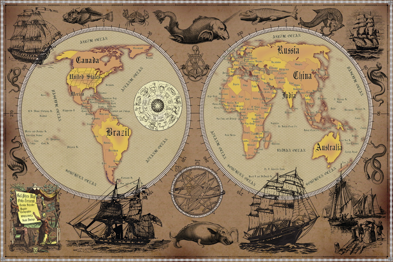
Gall-Peters Projection
• Equal-area projection (true relative landmass sizes)
• Africa and South America appear proportionally larger
• Strong educational and geopolitical appeal
• Ideal for academic spaces and modern minimalist interiors
2. Color Palette
Different versions of this map are available in carefully designed color schemes to suit various lighting conditions and interior styles.
Warm Sepia / Antique Tone
• Soft brown and parchment hues
• Ideal for warm lighting and traditional interiors
• Creates a historical, archival atmosphere
Color selection is not only aesthetic — it affects legibility, mood, and integration into surrounding décor.
3 Vintage World Map Poster – 24×36 in (300 DPI, Print-Ready JPG) Gall Peters PRJ warm palette corr
Print Specifications
• Size: 24 × 36 inches
• Resolution: 300 DPI (7200 × 10800 px)
• Format: High-quality JPG
• Print-ready – no resizing required
• Suitable for professional poster printing
Simply upload the file to your print service or print locally on matte, satin, or fine-art paper.
Ideal For
• Offices and executive spaces
• Libraries and studies
• Academic environments
• Interior design projects
• Framed wall decor
• Gift prints
Aesthetic & Functional
This map is not only decorative — it reflects a specific cartographic philosophy defined by projection choice and visual tone. Whether you prefer the balanced elegance of Robinson, the equal-area accuracy of Gall-Peters, or the classical authority of Mercator, each version offers a distinct visual and intellectual character.
 Gall Peters PRJ warm palette corr")
 Gall Peters PRJ warm palette corr")
 Gall Peters PRJ warm palette corr")
 Gall Peters PRJ warm palette corr")
 Gall Peters PRJ warm palette corr")
 Gall Peters PRJ warm palette corr")
 Gall Peters PRJ warm palette corr")
 Gall Peters PRJ warm palette corr")
 Gall Peters PRJ warm palette corr")
 Gall Peters PRJ warm palette corr")
 Gall Peters PRJ warm palette corr")
 Gall Peters PRJ warm palette corr")

 Author: Kirill Shrayber, Ph.D. FRGS
 Robinson PRJ warm palette")
 Gall Peters PRJ black-white palette")
 Mercator PRJ blue invert palette")
 Gall Peters PRJ blue palette")
 Mercator PRJ blue palette")
 Robinson PRJ blue palette")