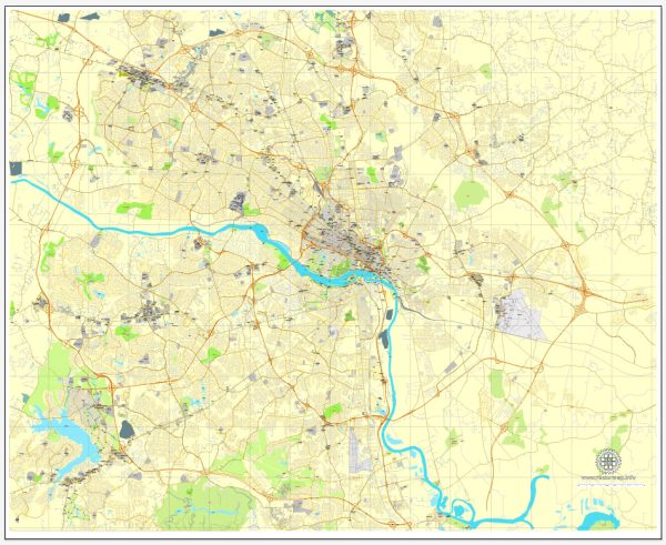
Map — Richmond Virginia US
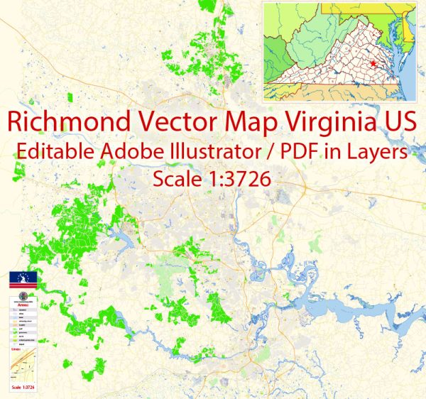
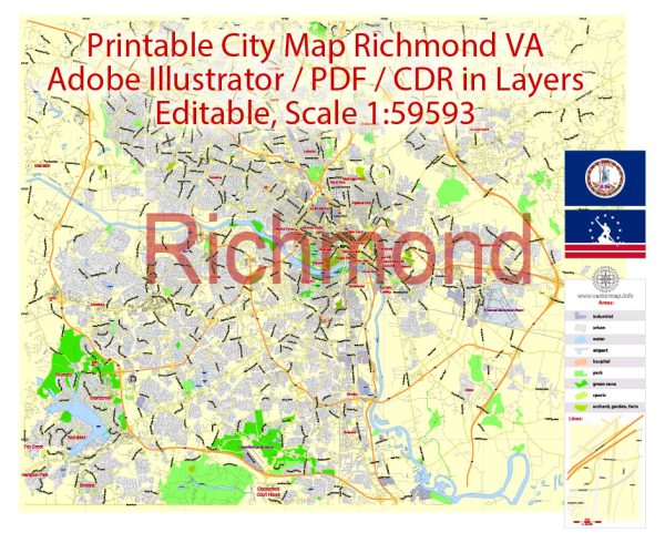
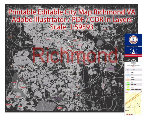
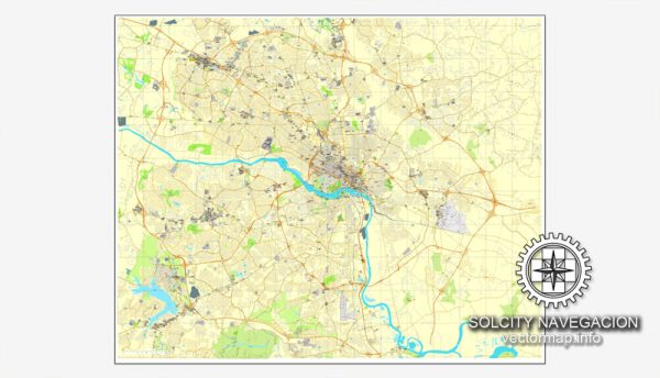
A production‑ready map of Richmond Virginia US built for clear labeling and predictable output across sizes. The file accepts custom grids, legends and callouts without redrawing base content. Coordinates and scales are prepared for sheet production and consistent exports. Typography spacing is tuned for quick reading on posters, brochures and reports. Bridges, tunnels and ferry lines are isolated so routes remain legible after recolor. Crisp vectors preserve edges at high DPI and export compactly for web delivery.
Use it for visitor guides, city infographics, investment decks and municipal communications. Works well as an underlay for wayfinding, transport schemes and editorial layouts. The map integrates neatly with common DTP and GIS workflows. Reliable as a base layer; easy to adapt when projects or sponsors change. Color systems can be swapped quickly to match seasonal or brand variants.

 Author: Kirill Shrayber, Ph.D. FRGS