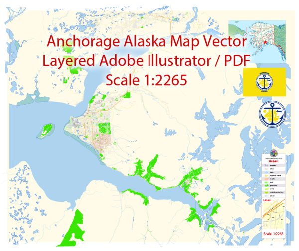
Map — Anchorage Alaska US
An editable map of Anchorage Alaska US designed as a dependable base for print and digital layouts. Contours and landuse layers can be toggled to match tourism or planning use cases. Bridges, tunnels and ferry lines are isolated so routes remain legible after recolor. Named layers let you restyle colors, line weights and label classes without cleanup passes. Coordinates and scales are prepared for sheet production and consistent exports. Layer structure separates arterials and locals, districts, hydrography, parks and landmarks.
Saves prepress time by reducing manual fixes and keeping the visual system consistent. Use it for visitor guides, city infographics, investment decks and municipal communications. Files remain compact thanks to clean geometry and disciplined labeling. Editors can brand the palette and icons, then export sharp results for both print and web.


 Author: Kirill Shrayber, Ph.D. FRGS