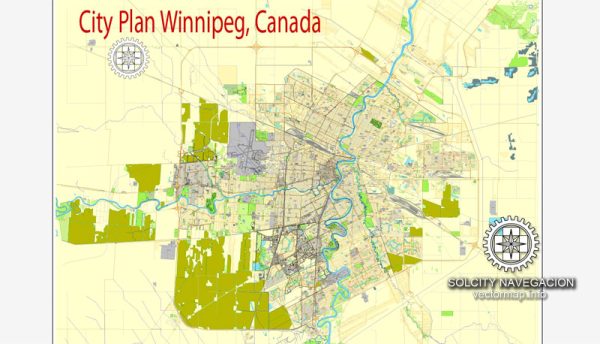
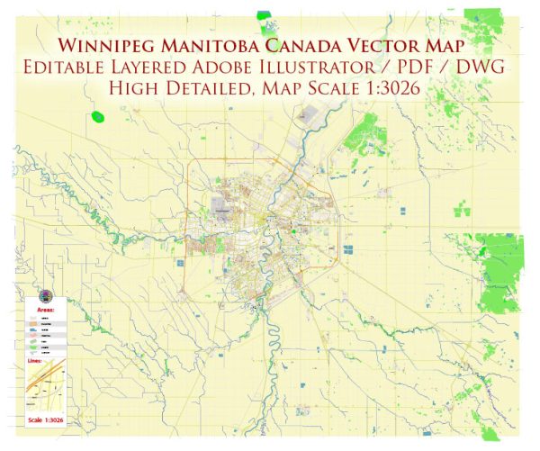
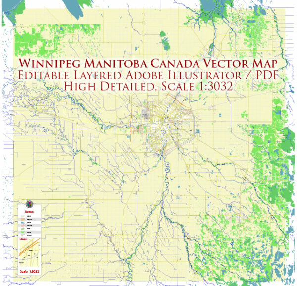
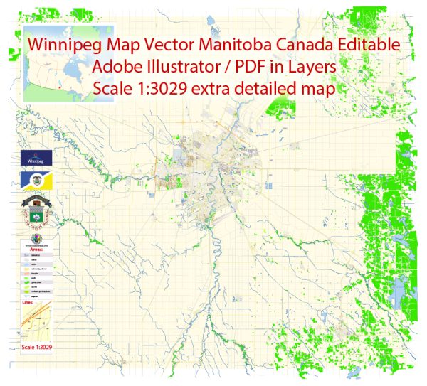
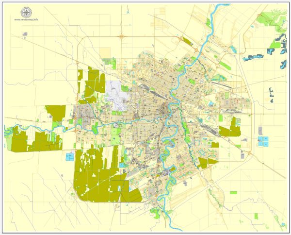
Vector Maps of the Winnipeg : city, capital (1870) of Manitoba, Canada. It lies at the confluence of the Red and Assiniboine rivers, 40 miles (65 km) southwest of Lake Winnipeg and 60 miles (95 km) north of the U.S. state of Minnesota. Winnipeg is the economic and cultural center of Manitoba and is at the heart of the most populous metropolitan area in central Canada.
Fort-Rouge was established on the site in 1738 by the French voyageur La Vérendrye. It was followed later by Fort Gibraltar (built by the North West Company in 1810) and Fort Garry (Hudson’s Bay Company, 1821). These, together with the Red River Settlement (founded 1811–12) of Scottish colonists, formed the nucleus of the new city, the name of which was taken from that of Lake Winnipeg and derived from the Cree Indian words win nipee (“muddy water”).
Elevation: 239 m
Area:
• Land: 464.09 km2 (179.19 sq mi)
• Metro: 5,306.79 km2 (2,048.96 sq mi)
Instant download archives: royalty free, editable vector maps of Winnipeg, Manitoba in high resolution digital PDF and Adobe Illustrator format.
All of our editable Winnipeg, Manitoba vector maps are digital files,
which can be instantly downloaded in editable PDF or Adobe Illustrator format.
Objects on maps are usually divided into layers according to their types – lines, polygons, street names, object names (see map description!!!!)
Each of our Winnipeg, Manitoba digital maps is available in Adobe Illustrator or editable PDF format, (or on request in any other known format for the same price)
which use a vector approach to display images,
you can easily enlarge any part of our maps without compromising text, line or graphic quality,
with any increase or decrease ratio.
Using a vector graphics editor such as Adobe Illustrator, CorelDraw, Inkscape, or Freehand
you can easily crop parts of the map, add custom characters, and change colors and font attributes as needed.
We have a variety of Winnipeg, Manitoba vector maps with different levels of detail, from simple empty paths to highly detailed maps with roads and terrain layers.
Don’t see exactly what you’re looking for? Contact us to receive a special offer for an individual Winnipeg, Manitoba map for your project.

 Author: Kirill Shrayber, Ph.D. FRGS