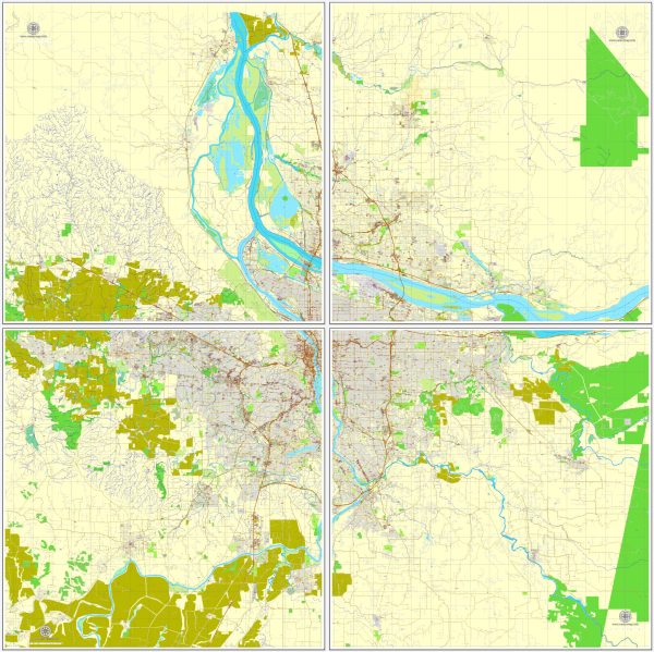
Map — Portland Oregon Vancouver Washington US
An editable map of Portland Oregon Vancouver Washington US designed as a dependable base for print and digital layouts. Typography spacing is tuned for quick reading on posters, brochures and reports. Contours and landuse layers can be toggled to match tourism or planning use cases. Bridges, tunnels and ferry lines are isolated so routes remain legible after recolor. Layer structure separates arterials and locals, districts, hydrography, parks and landmarks. Waterfronts and parks receive extra separation for better contrast on light palettes.
Works well as an underlay for wayfinding, transport schemes and editorial layouts. Ideal for signage, event maps, campus leaflets and waterfront brochures. The map integrates neatly with common DTP and GIS workflows. Reliable as a base layer; easy to adapt when projects or sponsors change. Legibility holds up on handheld leaflets and large lobby posters alike.


 Author: Kirill Shrayber, Ph.D. FRGS