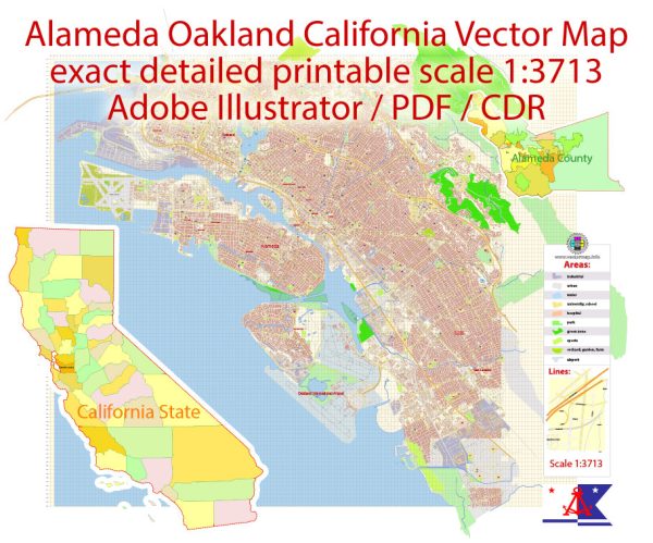
Oakland, city, seat (1873) of Alameda county, west-central California, U.S.
It lies on the eastern shore of San Francisco Bay opposite San Francisco.
The city site is located on a flat coastal plain that rises toward hills to the east
that parallel the shoreline. Oakland has a mild Mediterranean-type climate with warm
sunny summers and cool winters with rainy spells. Like its neighbour to the west,
it experiences morning fogs in summer, though these typically burn off by noon.
Oakland is the eastern locus of the extensive metropolitan area surrounding the bay that,
in addition to San Francisco, is anchored by San Jose to the southeast.
Neighbouring communities include Berkeley (north), San Leandro (south),
and Alameda (west, on Alameda Island), and Oakland completely surrounds
the city of Piedmont. Area city, 78 square miles (202 square km). Pop. (2010) 390,724;
Oakland-Fremont-Hayward Metro Division, 2,559,296; San Francisco–Oakland–Fremont Metro Area, 4,335,391; (2020)
440,646; Oakland-Berkeley-Livermore Metro Division, 2,848,280; San Francisco–Oakland–Berkeley Metro Area, 4,749,008.
Source: https://www.britannica.com/place/Oakland-California


 Author: Kirill Shrayber, Ph.D. FRGS