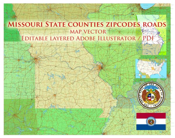
Printable Map — Missouri State
An editable printable map of Missouri State designed as a dependable base for print and digital layouts. Named layers let you restyle colors, line weights and label classes without cleanup passes. Coordinates and scales are prepared for sheet production and consistent exports. Waterfronts and parks receive extra separation for better contrast on light palettes. Crisp vectors preserve edges at high DPI and export compactly for web delivery. The file accepts custom grids, legends and callouts without redrawing base content.
Works well as an underlay for wayfinding, transport schemes and editorial layouts. Ideal for signage, event maps, campus leaflets and waterfront brochures. Export presets help maintain crisp strokes on both coated and uncoated paper. Editors can brand the palette and icons, then export sharp results for both print and web. Color systems can be swapped quickly to match seasonal or brand variants.


 Author: Kirill Shrayber, Ph.D. FRGS