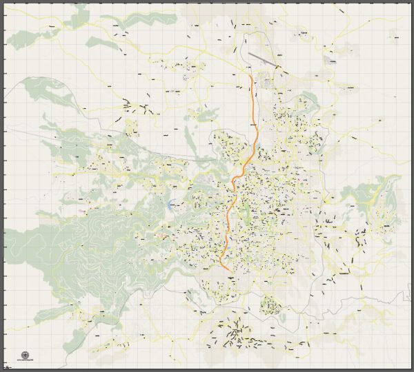
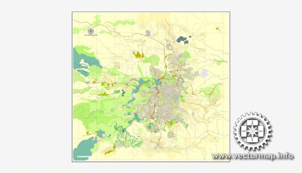
Vector Maps of the Jerusalem : city in Western Asia, on a plateau in the Judaean Mountains between the Mediterranean and the Dead Sea. It is one of the oldest cities in the world, and is considered holy to the three major Abrahamic religions — Judaism, Christianity, and Islam.
Founded: 3000 BC
Elevation: 754 m
Area: 125.1 km²
Download royalty free, editable vector maps of Jerusalem Israel in high resolution digital PDF and Adobe Illustrator format.
Printable Map — Jerusalem Israel
A clean printable map of Jerusalem Israel with named layers and consistent geometry for fast cartographic work. Waterfronts and parks receive extra separation for better contrast on light palettes. Bridges, tunnels and ferry lines are isolated so routes remain legible after recolor. Contours and landuse layers can be toggled to match tourism or planning use cases. Named layers let you restyle colors, line weights and label classes without cleanup passes. Typography spacing is tuned for quick reading on posters, brochures and reports.
Works well as an underlay for wayfinding, transport schemes and editorial layouts. Ideal for signage, event maps, campus leaflets and waterfront brochures. The map integrates neatly with common DTP and GIS workflows. Editors can brand the palette and icons, then export sharp results for both print and web. Color systems can be swapped quickly to match seasonal or brand variants.


 Author: Kirill Shrayber, Ph.D. FRGS