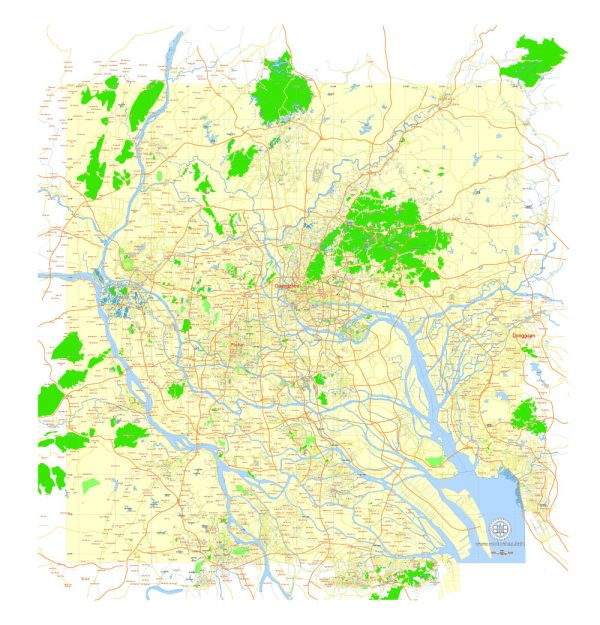
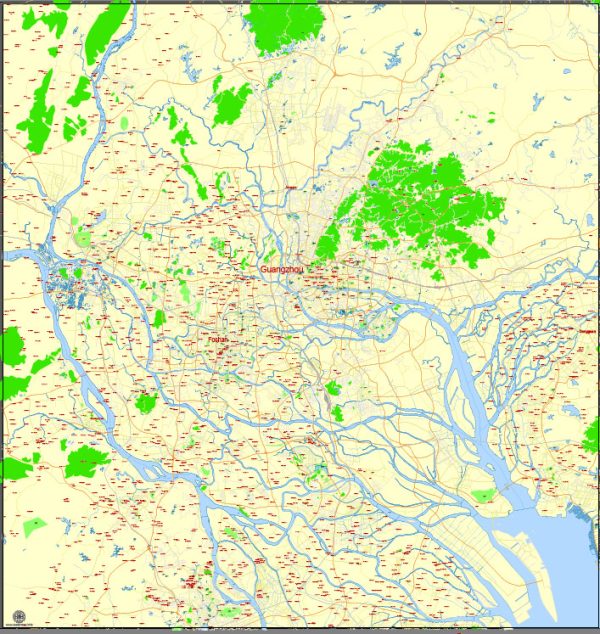
Vector Maps of the Guangzhou : sprawling port city northwest of Hong Kong on the Pearl River. The city features avant-garde architecture such as Zaha Hadid’s Guangzhou Opera House (known as the “double pebble”); the carved box-shaped Guangdong Museum; and the iconic Canton TV Tower skyscraper, resembling a thin hourglass. The Chen Clan Ancestral Hall, a temple complex from 1894, also houses the Guangdong Folk Arts Museum.
Area: 7,434 km²
Elevation: 21 m
Download royalty free, editable vector maps of Guangzhou China in high resolution digital PDF and Adobe Illustrator format.
Printable Map — Guangzhou China
A production‑ready printable map of Guangzhou China built for clear labeling and predictable output across sizes. Crisp vectors preserve edges at high DPI and export compactly for web delivery. Named layers let you restyle colors, line weights and label classes without cleanup passes. Bridges, tunnels and ferry lines are isolated so routes remain legible after recolor. Contours and landuse layers can be toggled to match tourism or planning use cases. Coordinates and scales are prepared for sheet production and consistent exports.
Ideal for signage, event maps, campus leaflets and waterfront brochures. Use it for visitor guides, city infographics, investment decks and municipal communications. Export presets help maintain crisp strokes on both coated and uncoated paper. Keeps labels readable while allowing deep customization of routes and highlights. Legibility holds up on handheld leaflets and large lobby posters alike.


 Author: Kirill Shrayber, Ph.D. FRGS