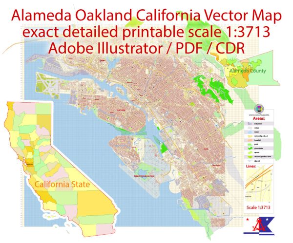
Oakland, California
Wordmark
Nickname(s): “Oaktown”, “The Town”
Motto: “Love life”
Coordinates: 37°48′16″N 122°16′15″W
Country United States
State California
County Alameda
Incorporated May 4, 1852
Named for The large oak forest that originally covered the area
Area
• Total 78.03 sq mi (202.10 km2)
• Land 55.93 sq mi (144.86 km2)
• Water 22.10 sq mi (57.24 km2)
Elevation 43 ft (13 m)
Population (2020)
• Total 440,646
• Rank 45th in the United States
8th in California
• Density 7,878.53/sq mi (3,041.87/km2)
Demonym Oaklander
Time zone UTC−08:00 (PST)
• Summer (DST) UTC−07:00 (PDT)
ZIP Codes
94601–94615, 94617-94624, 94649, 94659–94662, 94666
Area codes 510/341
FIPS code 06-53000
Oakland is the largest city and the county seat of Alameda County, California, United States.
A major West Coast port, Oakland is the largest city in the East Bay region of the San Francisco Bay Area,
the third largest city overall in the Bay Area and the eighth most populated city in California.
With a population of 440,646 as of 2020, it serves as the Bay Area’s trade center and economic engine:
the Port of Oakland is the busiest port in Northern California, and the fifth busiest in the United States of America.
An act to incorporate the city was passed on May 4, 1852, and incorporation was later approved on March 25, 1854.
Oakland is a charter city.
Oakland’s territory covers what was once a mosaic of California coastal terrace prairie, oak woodland,
and north coastal scrub.[20] In the late 18th century, it became part of a large rancho grant in the colony of New Spain.
Its land served as a resource when its hillside oak and redwood timber were logged to build San Francisco.
The fertile flatland soils helped it become a prolific agricultural region. In the late 1860s,
Oakland was selected as the western terminal of the Transcontinental Railroad. Following the 1906
San Francisco earthquake, many San Francisco citizens moved to Oakland, enlarging the population, increasing
its housing stock, and improving its infrastructure. It continued to grow in the 20th century with its busy port,
shipyards, and a thriving automobile manufacturing industry.
Source: https://en.wikipedia.org/wiki/Oakland,_California


 Author: Kirill Shrayber, Ph.D. FRGS